
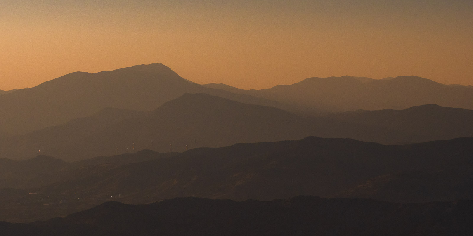
Meke Vulkan & Hasan Dagi
Photography:
Pamukkale & Laodikeia
Ihlara Gorge
Verena Schulthess
Lake District & Yazili Kanion
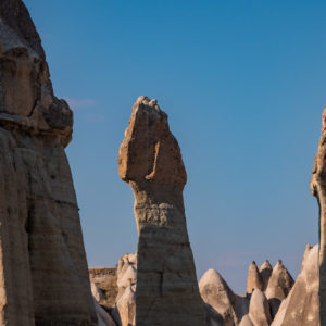
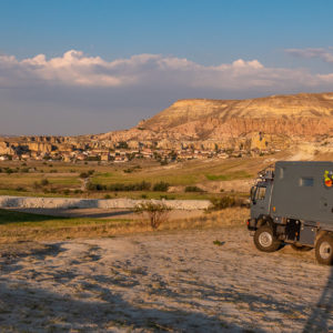
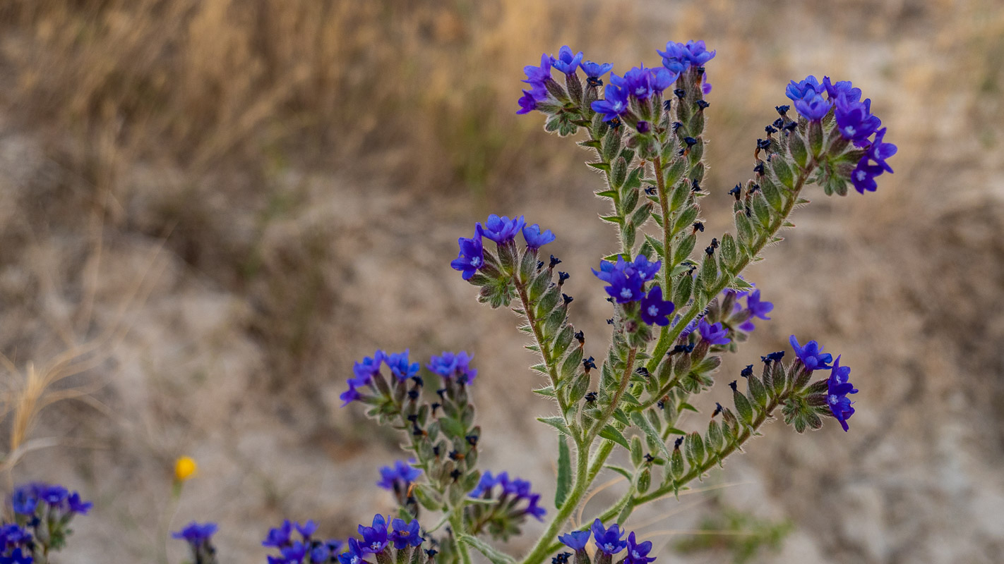
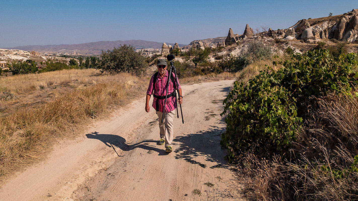
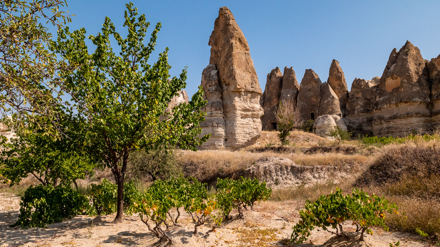
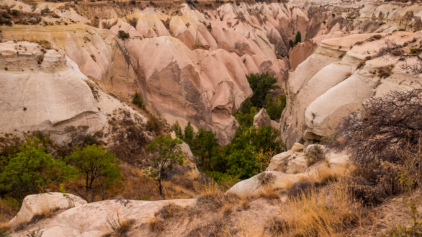
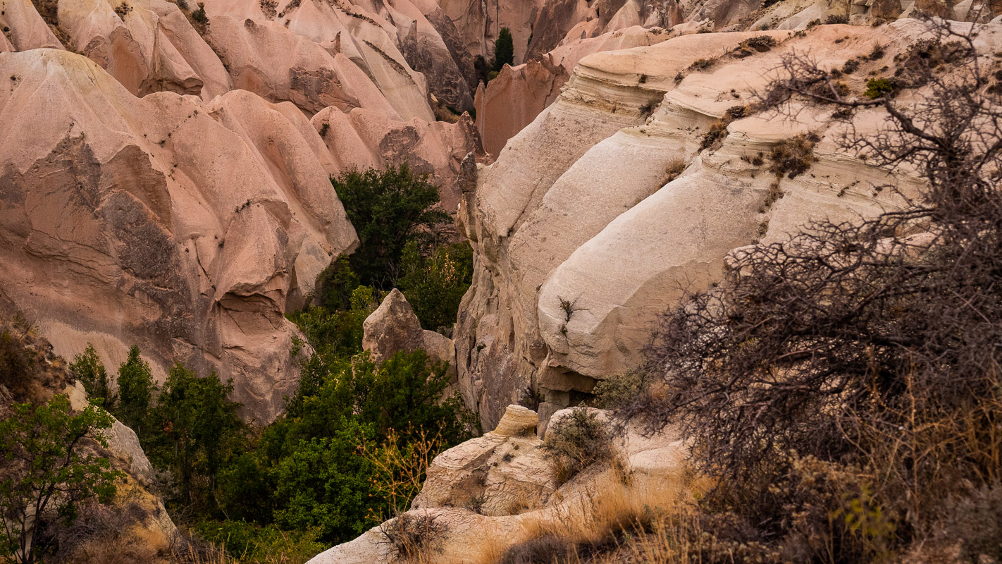
Central Cappadocia
Konya & Mevlana
Nemrut Dagi & Van See
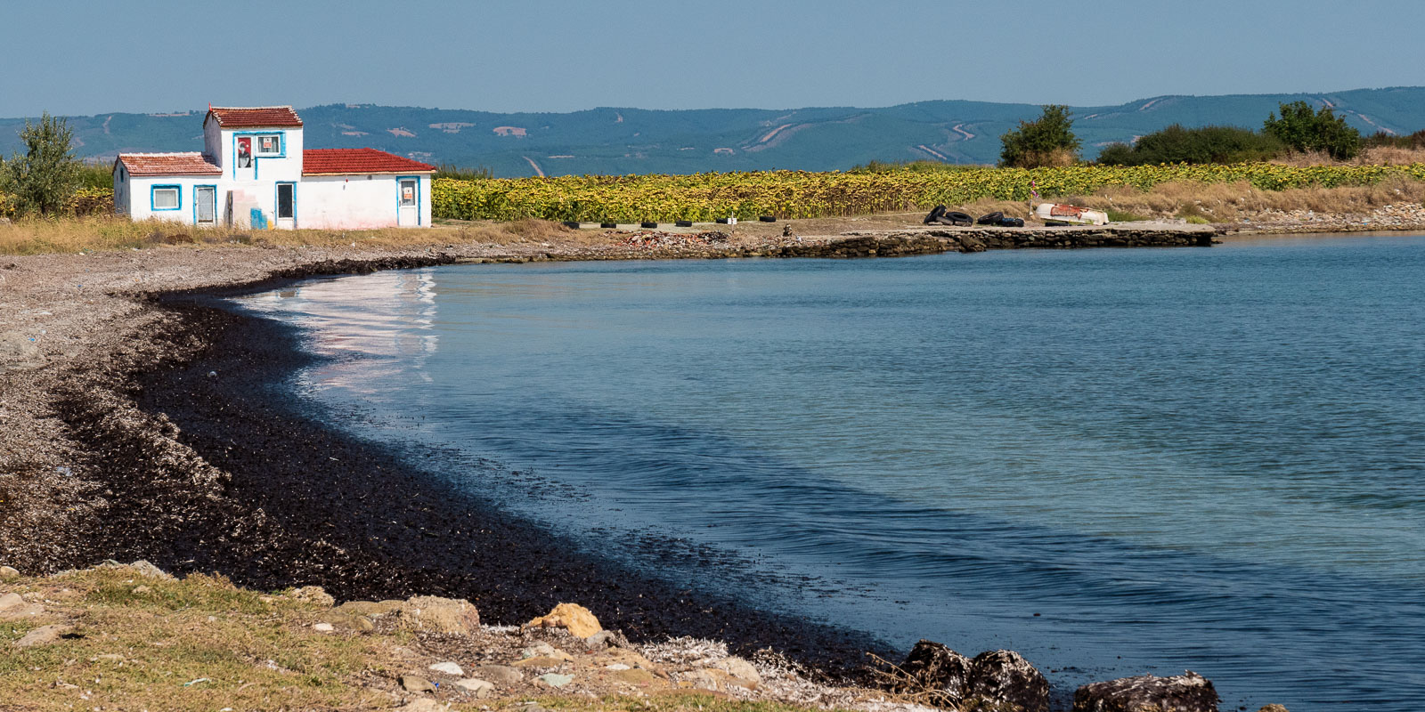
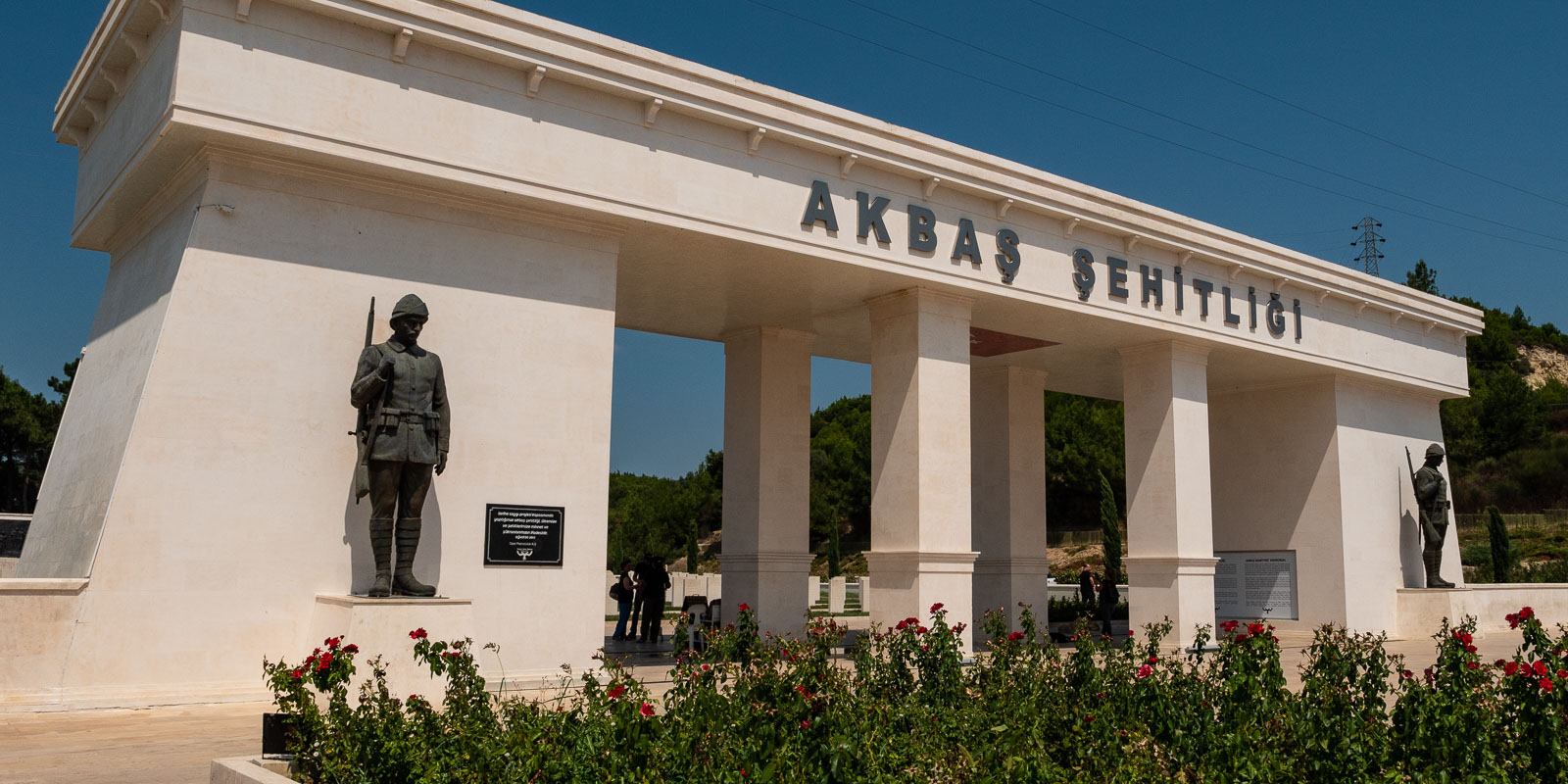
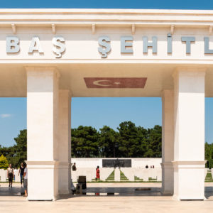
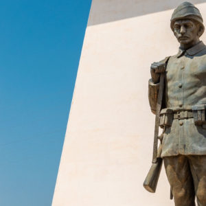
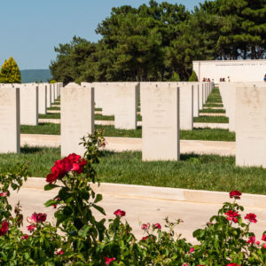
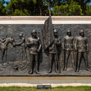
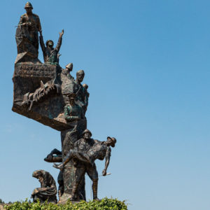
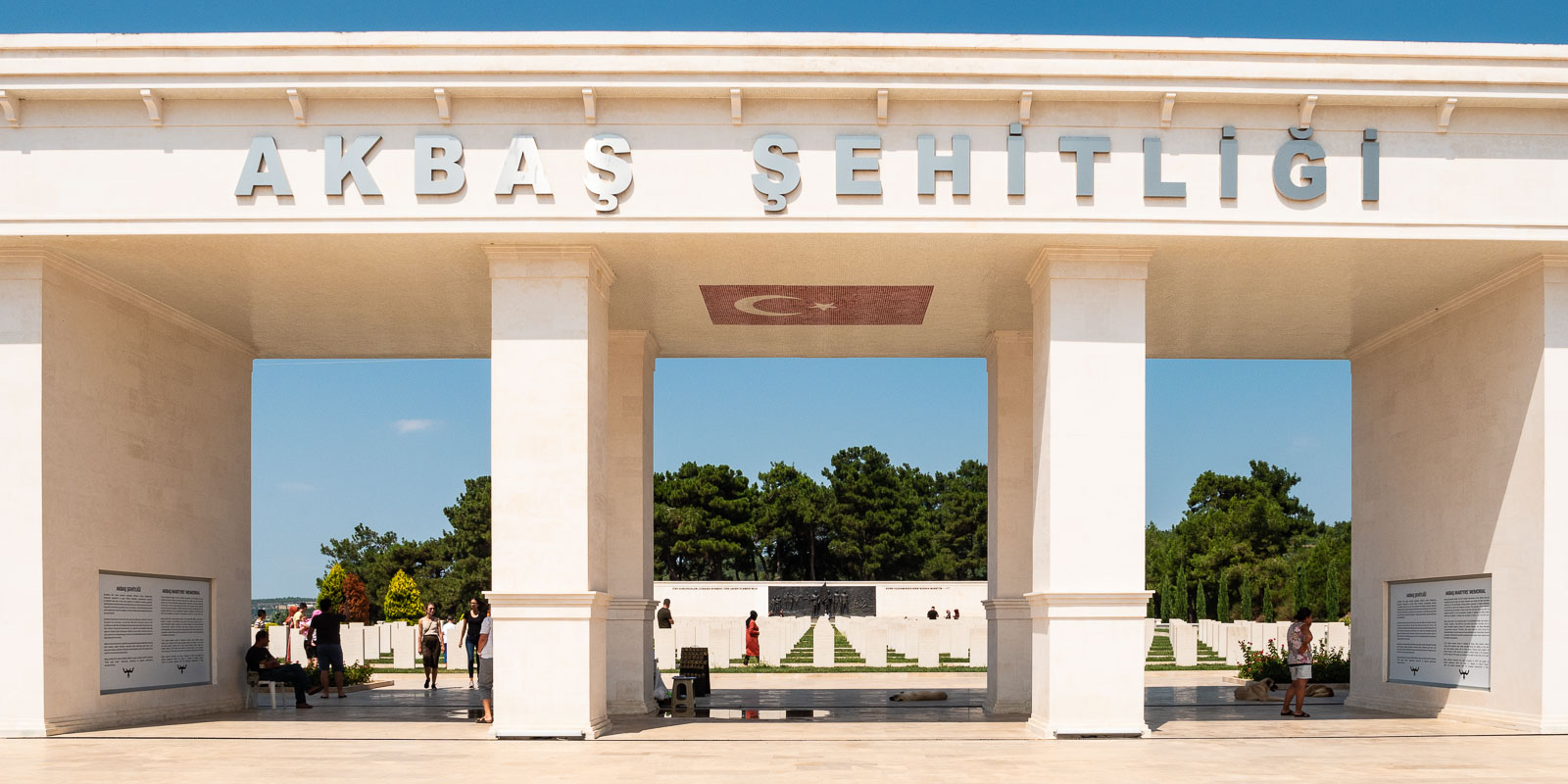
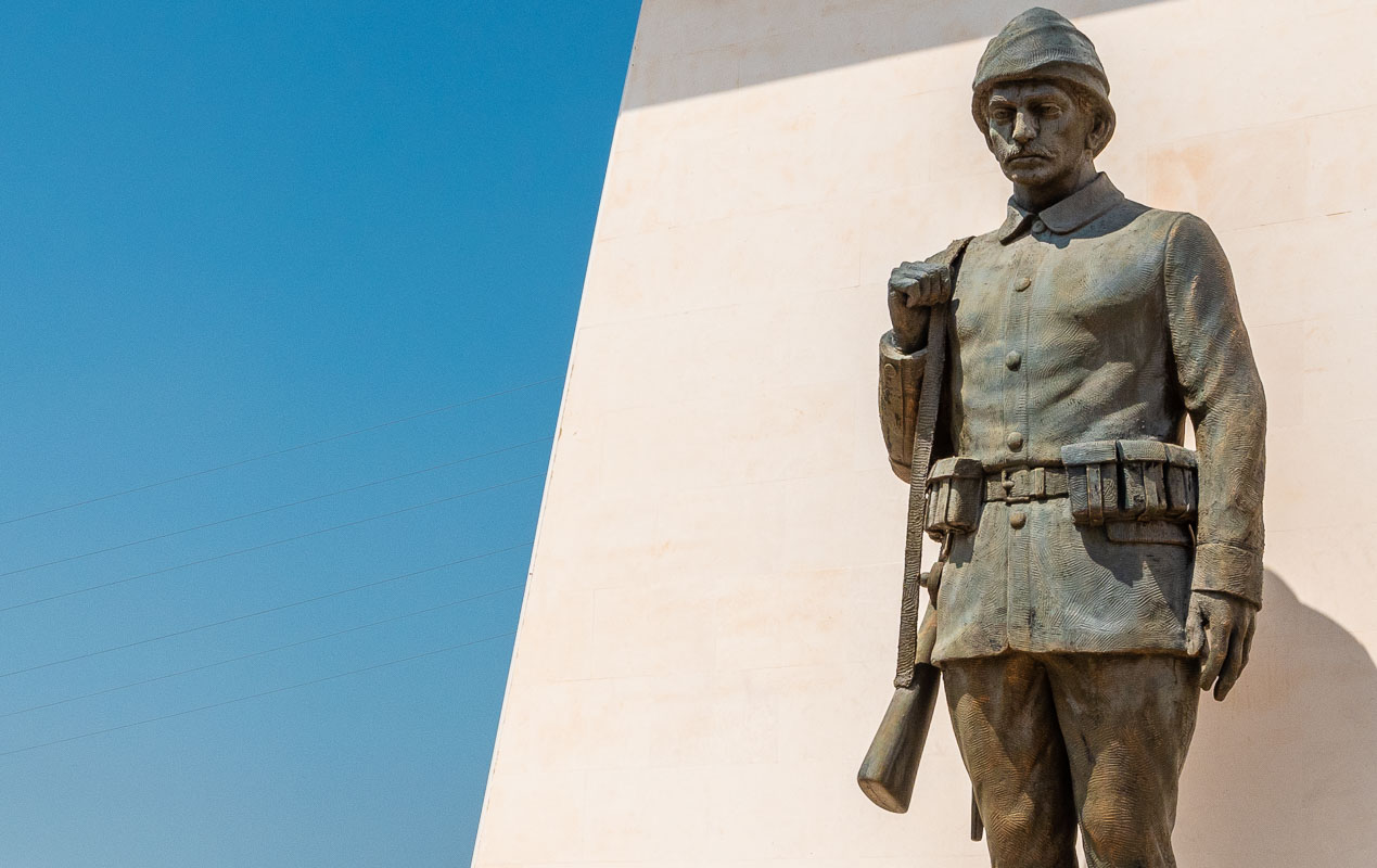
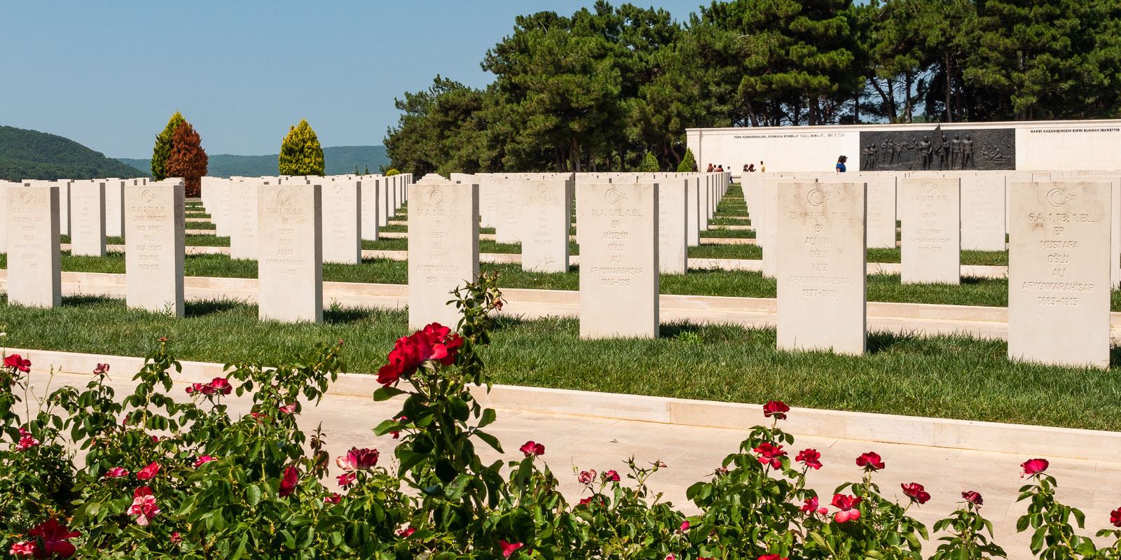
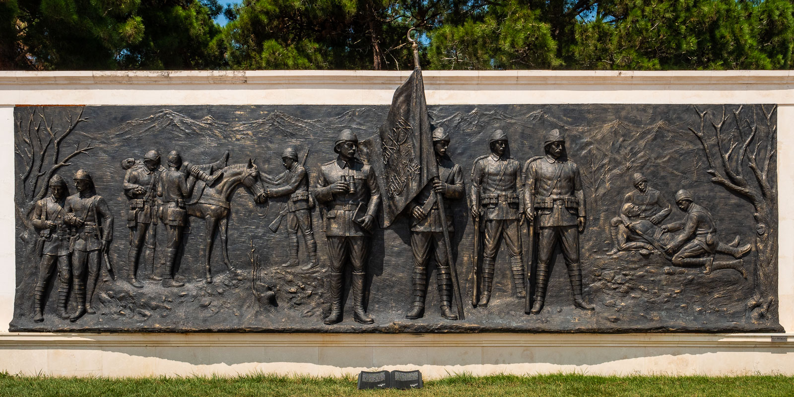
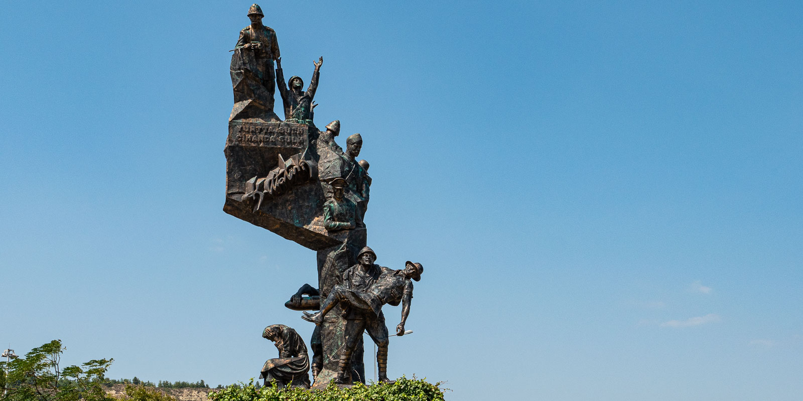
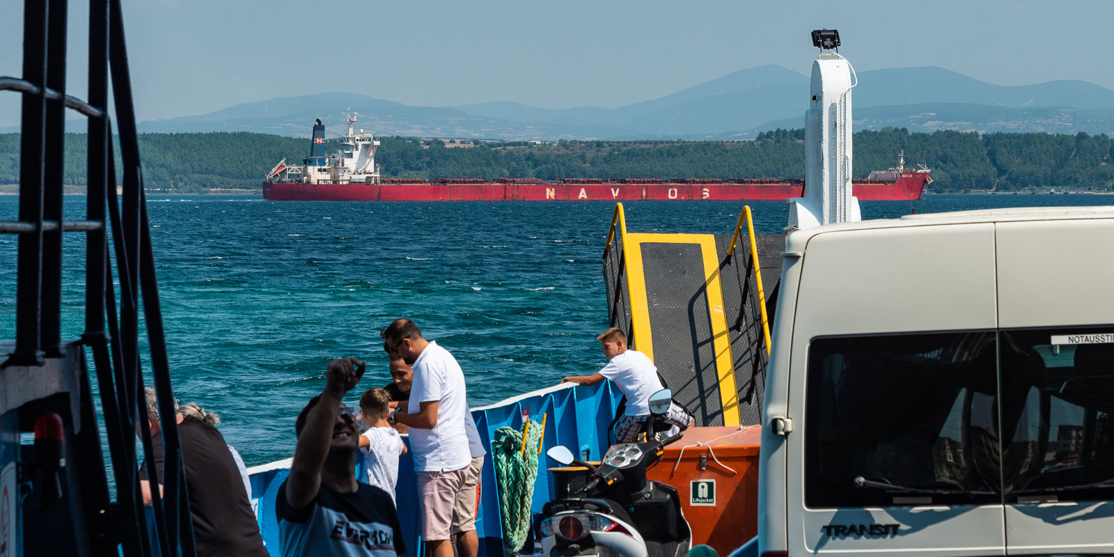
Gallipoli
August 21, 2019 – we arrive at the Turkish border near Ipsala early in the morning. There are still only a few vehicles at customs. After changing money, we join the queue. Customs clearance is absolutely correct. Our MAN is inspected on the outside (storage compartments and rear storage space) and inside (fridge and wall unit) and found to be in good condition.
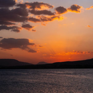
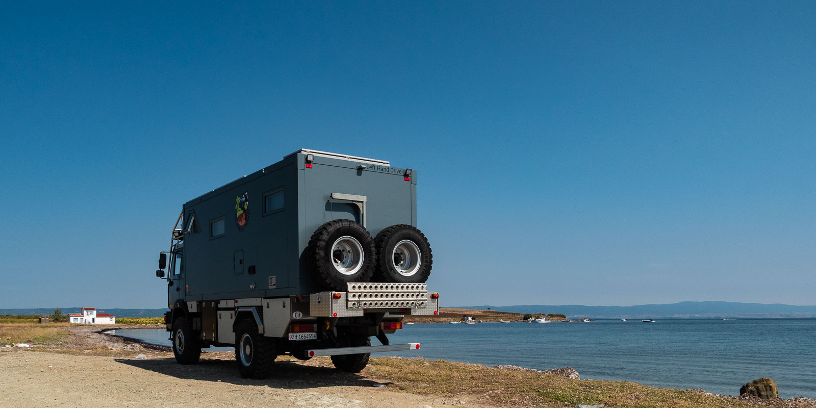
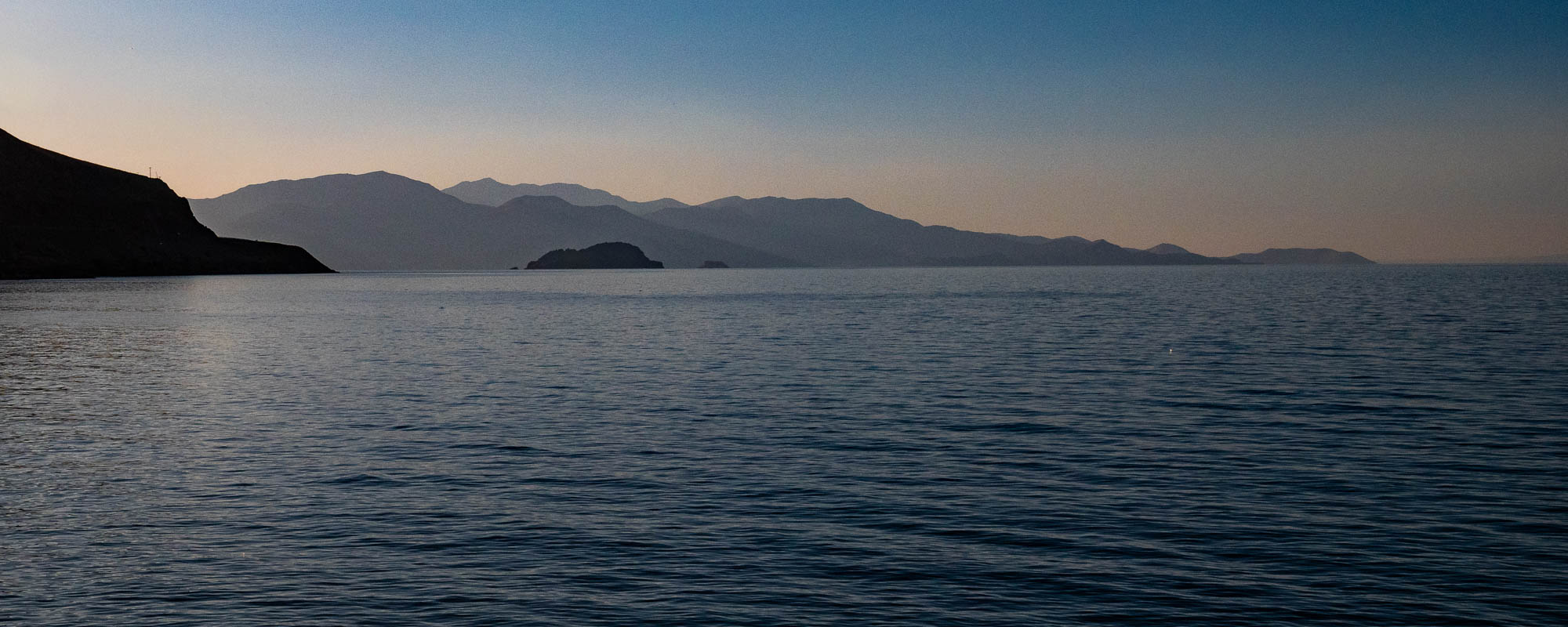
We reach our destination for the day, Troia, on a modern four-lane main road via the Gallipoli peninsula. A first break takes us to the sea on the Gallipoli peninsula.
Battle of the Dardanelles
In the winter of 1914/1915, the Allies attacked the Ottomans in order to gain access to the Black Sea. The Gallipoli peninsula became the scene of a cruel war of position. Due to the high losses and the cost of the war, the Allies finally gave up – leaving behind many military cemeteries. Troops from England, France, Australia and New Zealand, among others, took part in the war against the Ottomans. And this was only in order to be able to attack the German Empire “from behind”, i.e. from the Black Sea region. And that’s why so many soldiers had to die?
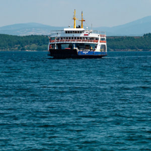
Dardanelles
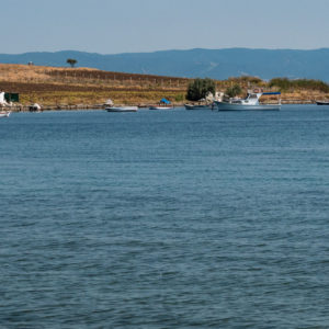
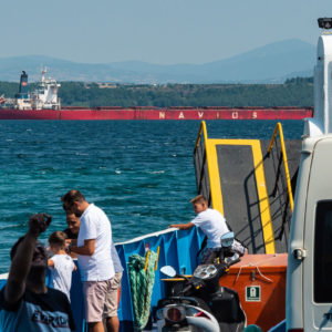
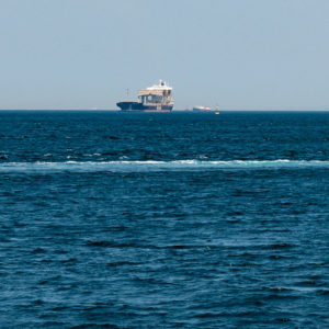
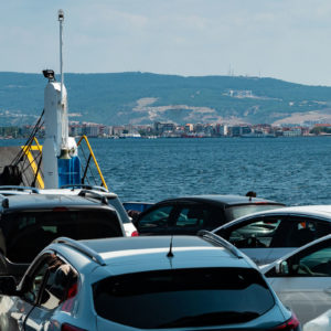
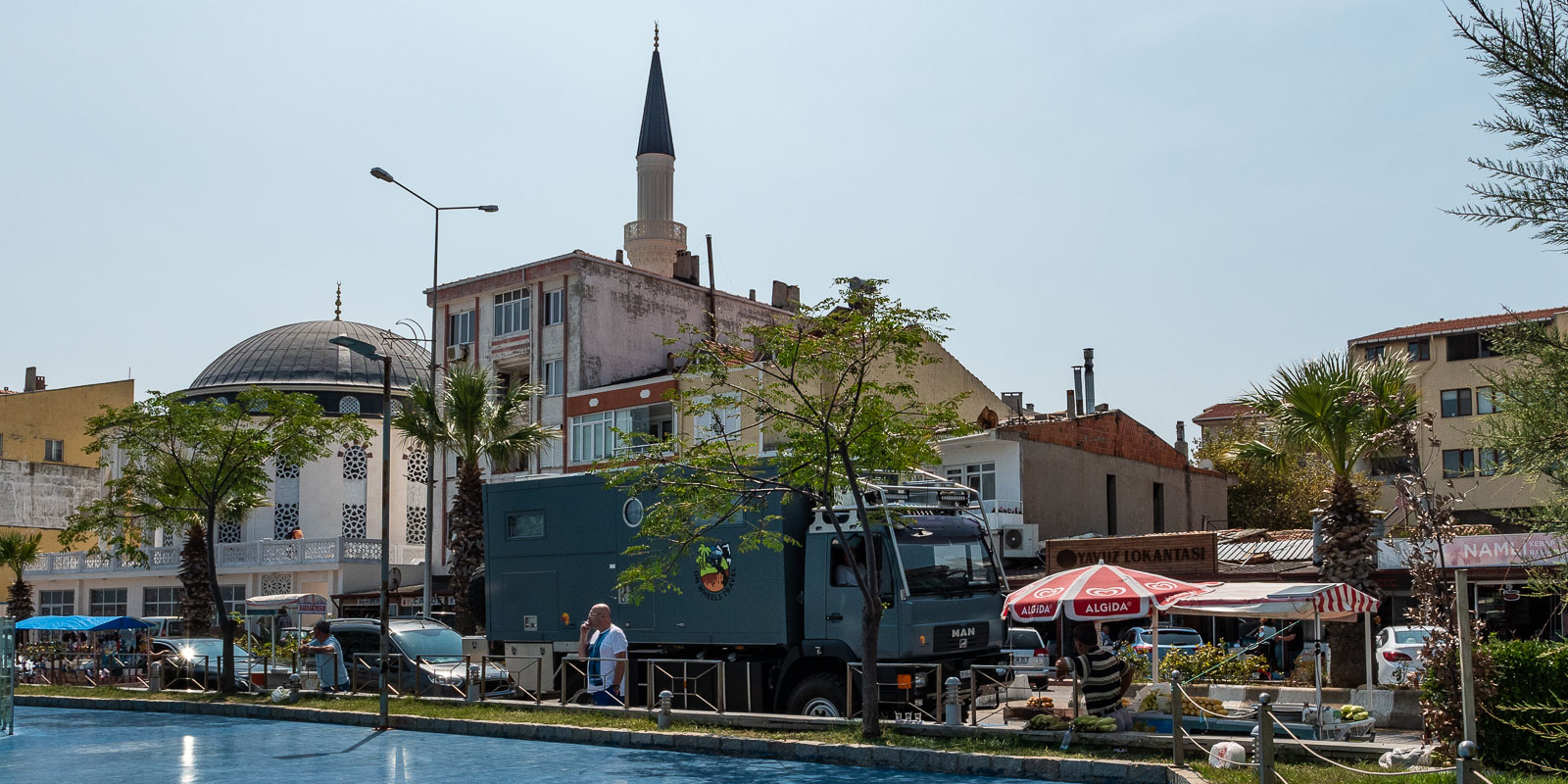
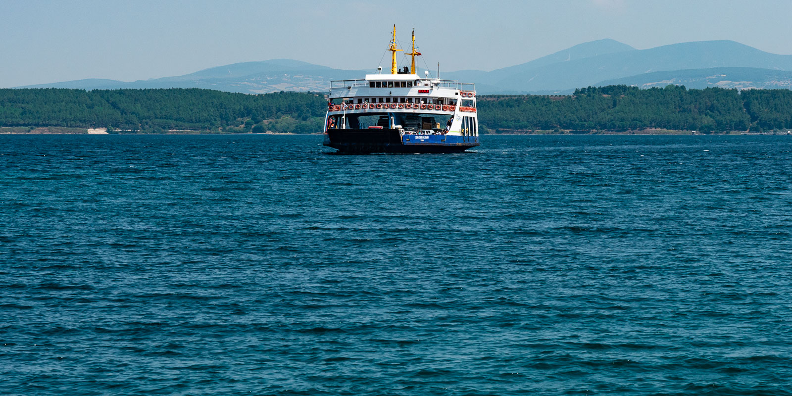
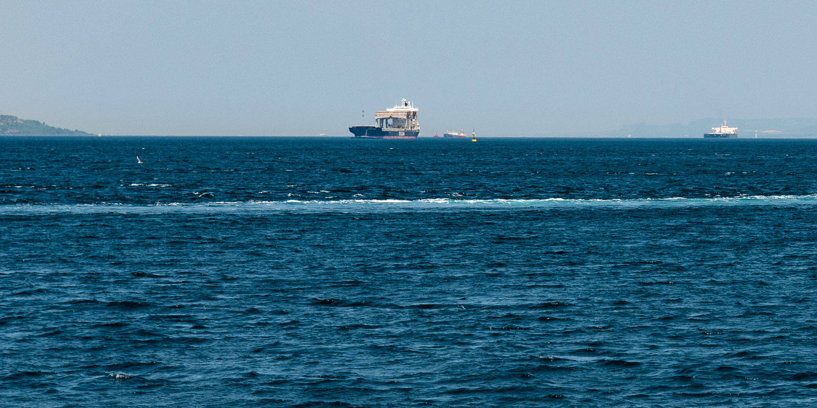
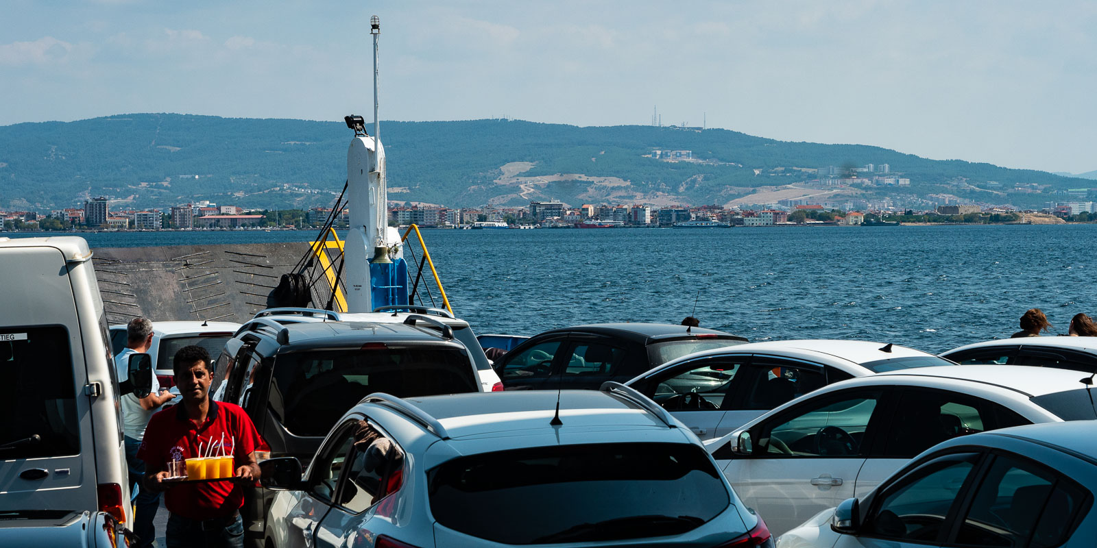
The ferry from Eceabat to Canakkale takes us from Europe to Asia in just over 30 minutes. The Dardanelles Strait is one of the busiest waterways in the world. Up to 80,000 ships pass through the strait every year.
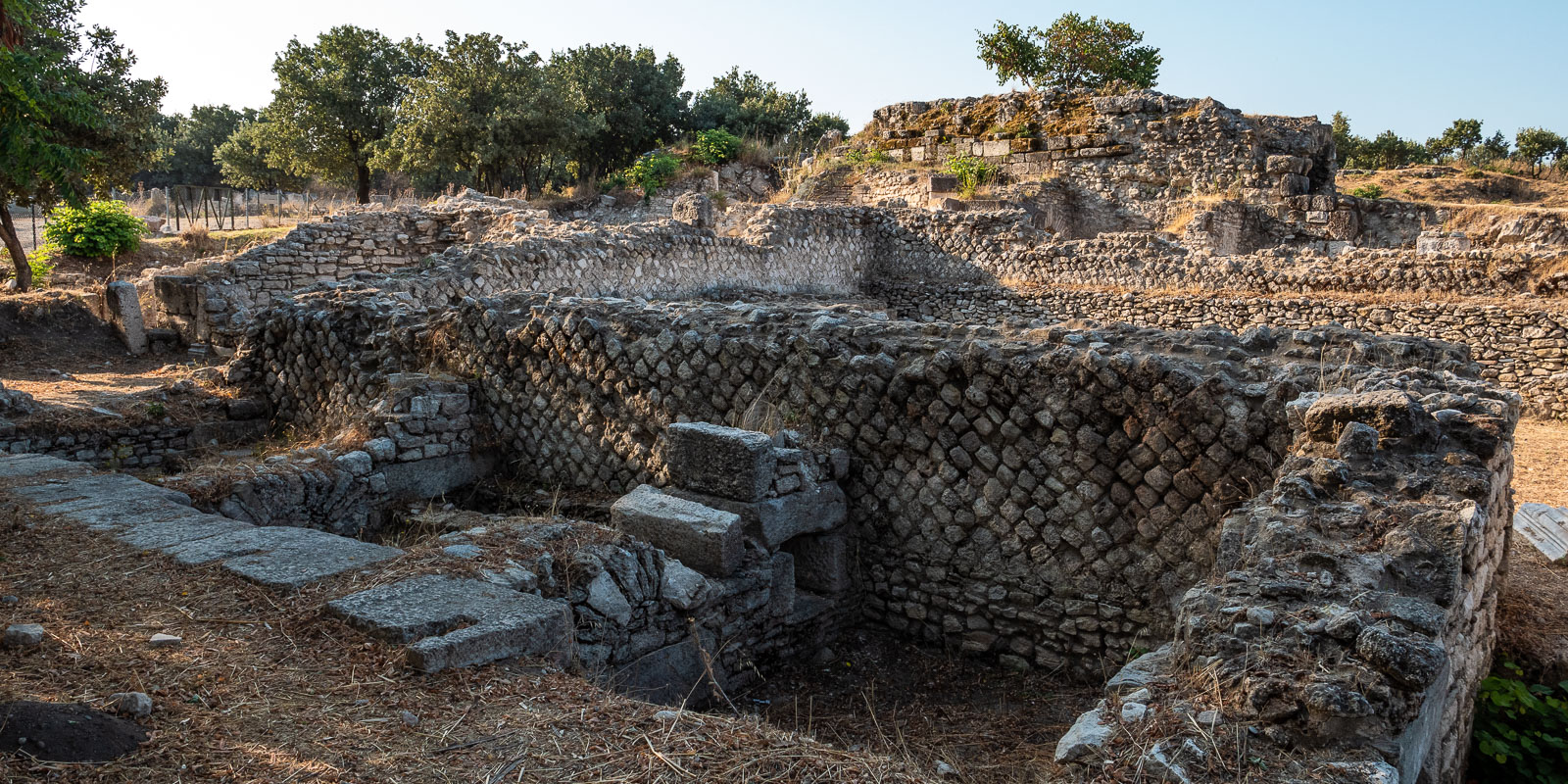
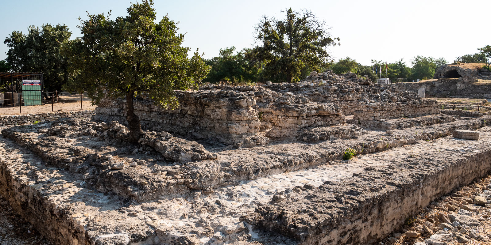
Today we drive to Troia on the Asian mainland, not because we want to visit Troia, but to spend the night on the forecourt of the Troia guesthouse and restaurant with excellent Wi-Fi.
Troas
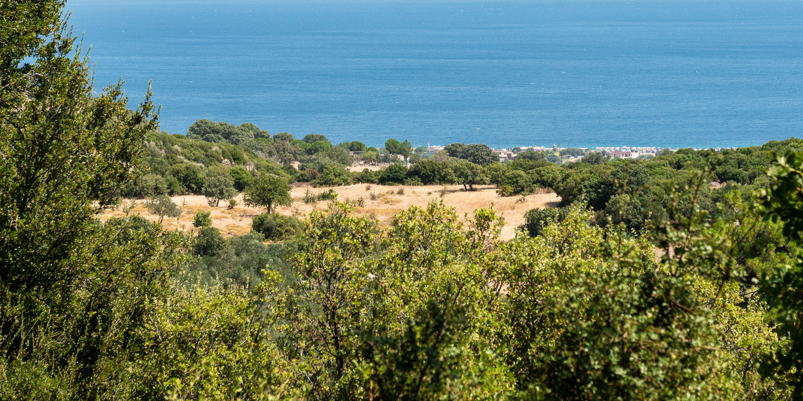
To get in the mood for Turkey, today we take a leisurely drive through the Troas, the lovely, hilly landscape between Troia and Behramkale (Assos). We pay a brief visit to the “Alexandria Troas” archaeological site. Turkish students are still busy excavating here. They are currently digging in a place that is said to have been a bed – unfortunately we are not allowed to take photos. As the city stretched from the excavation site to the sea, there is probably still a lot to do!
Ören
Today we drive to Ören, right next to the pretty country town of Burhaniye. The journey from Kücükkuyu is grueling. The six-lane main road is intersected every few kilometers by
red
traffic lights every few kilometers and these usually switch from green to red when we arrive.
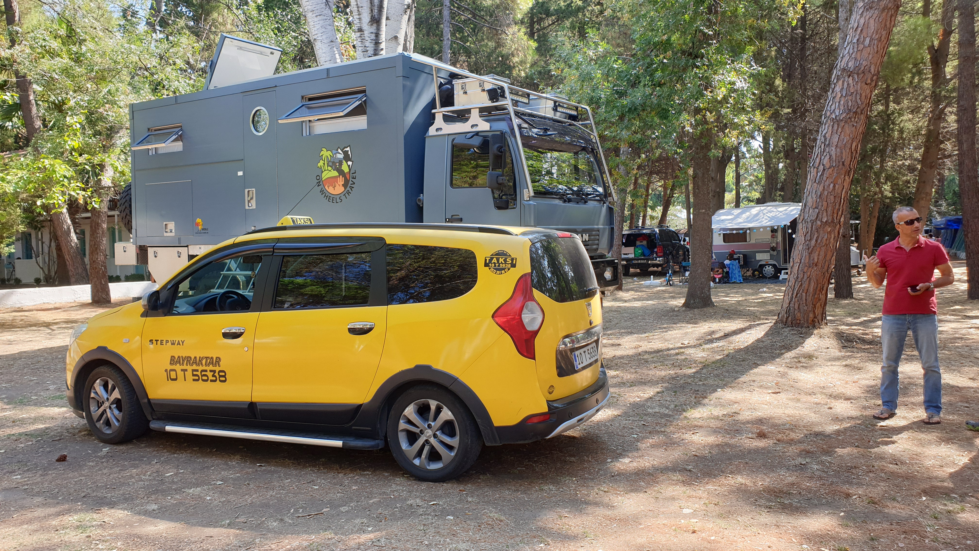
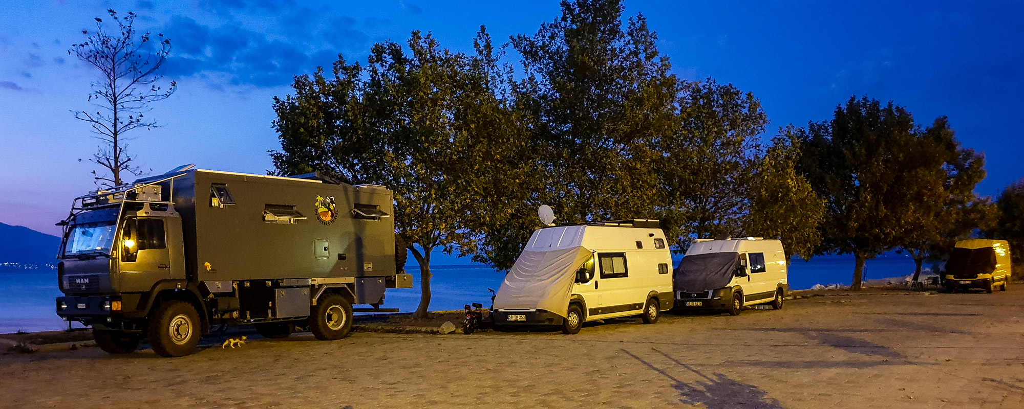
After all, the “Altin” campsite recommended to us by Italian motorhome drivers turns out to be a gem. Although the site is full of Turkish tent, caravan and camper van campers, we are still allowed to stand on a free pitch. We were surprised not only by the friendliness (and curiosity) of the Turkish campers, but especially by their calm and orderliness. We experienced Greece as a very noisy country with many disturbances at night until 5 o’clock in the morning. Not so in Turkey!
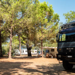
The next morning, the “German-Turkish” campsite manager finds us a cab driver with some knowledge of English, who is very helpful with exchanging money, buying the highway sticker and the TurkCell SIM card. Then we set off – we want to get as far as Selcuk (Ephesus), which we manage to do just before sunset.
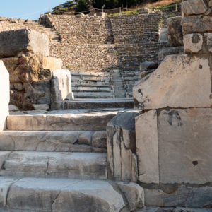
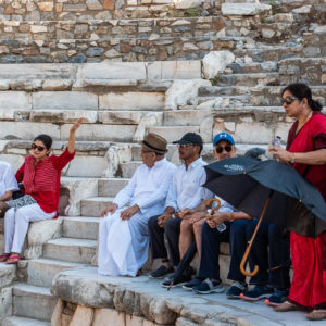
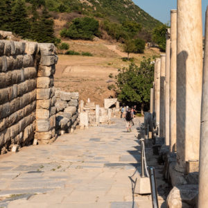
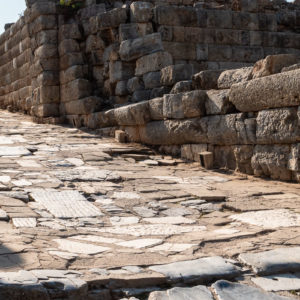
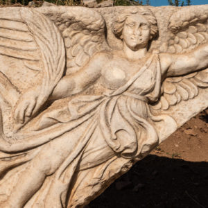
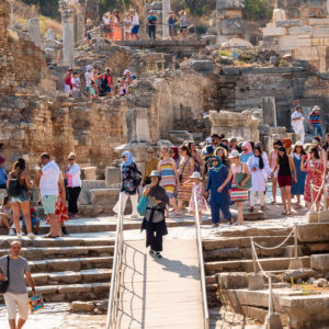
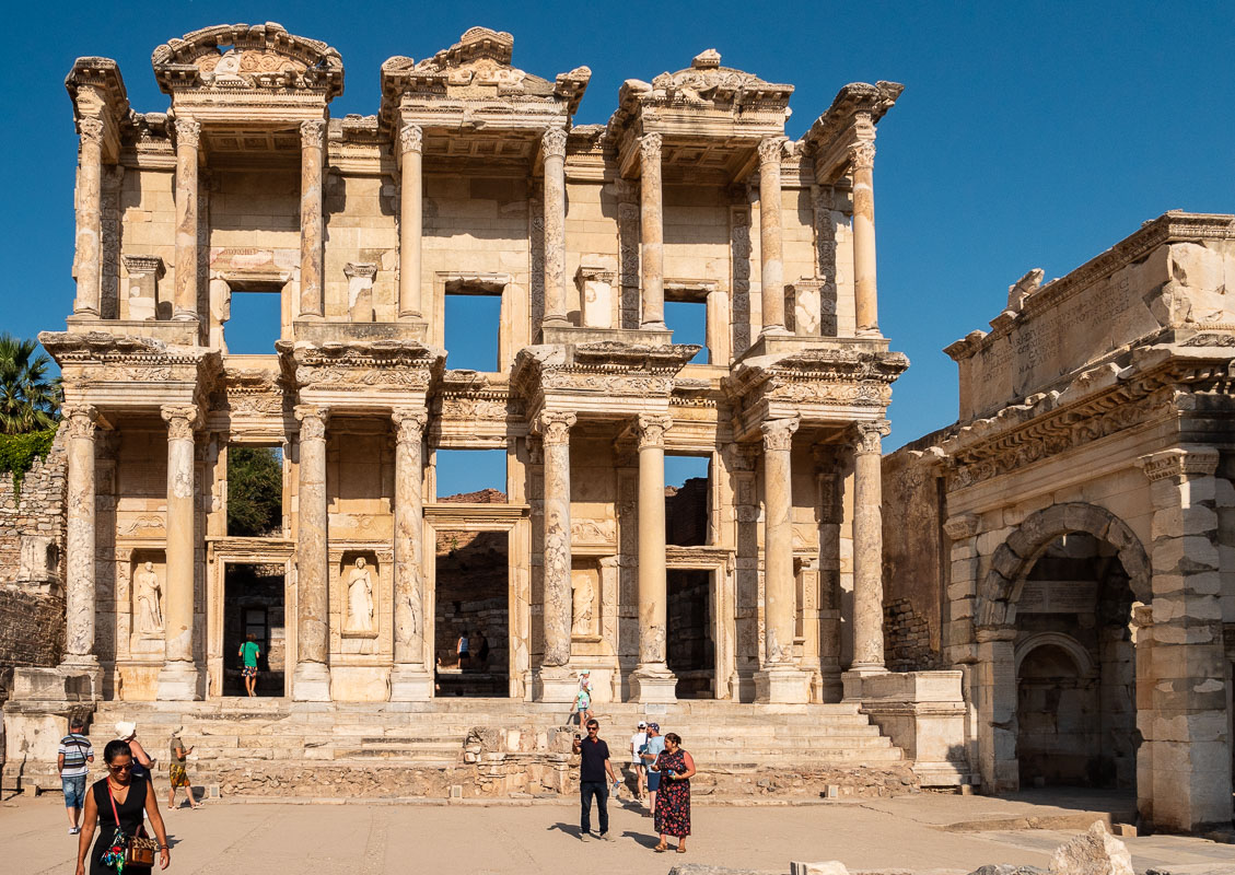
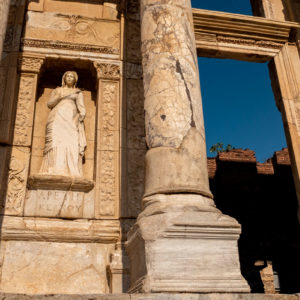
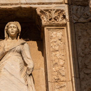
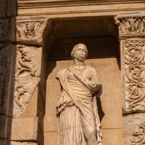
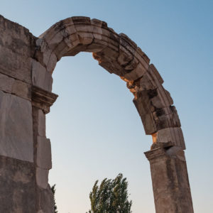
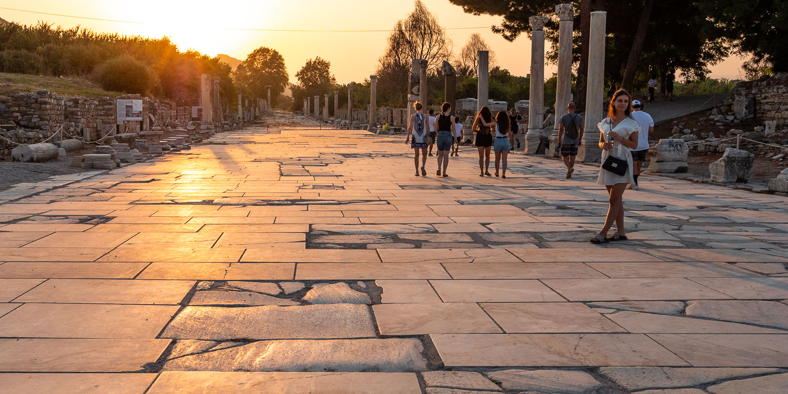
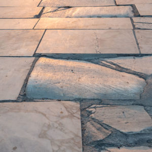
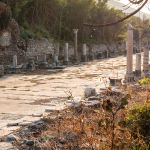
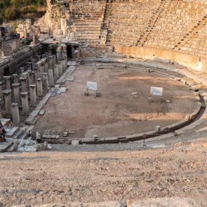
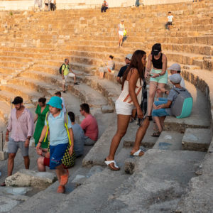
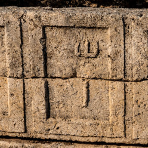
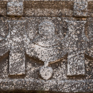
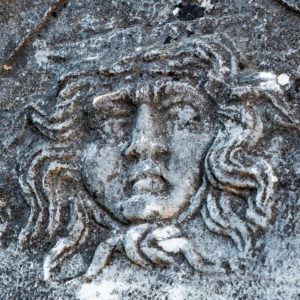
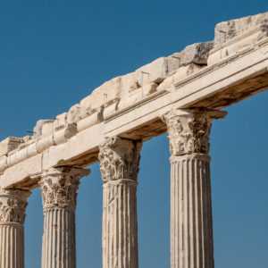
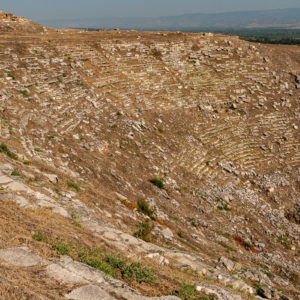
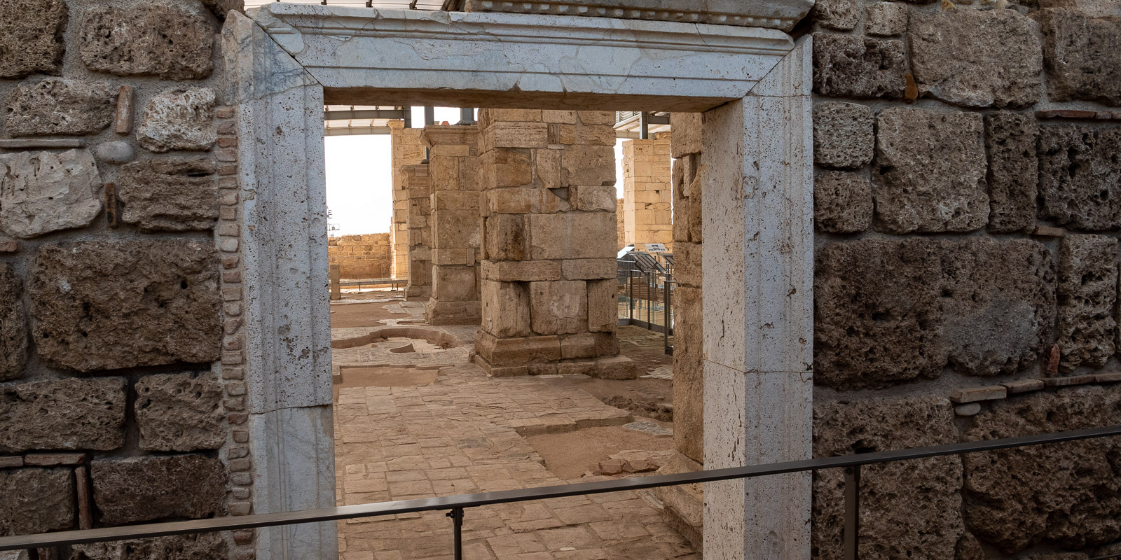
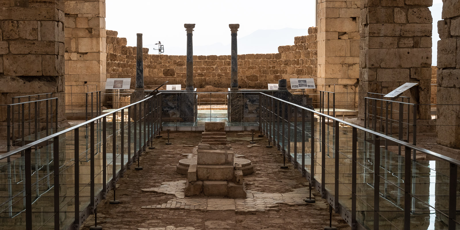
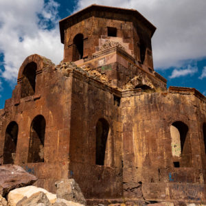
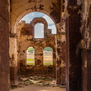
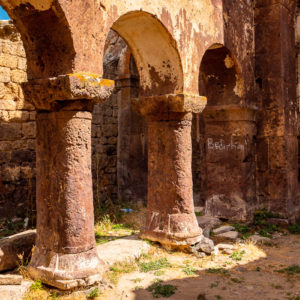
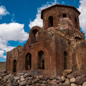
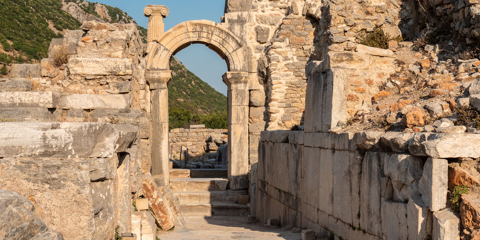
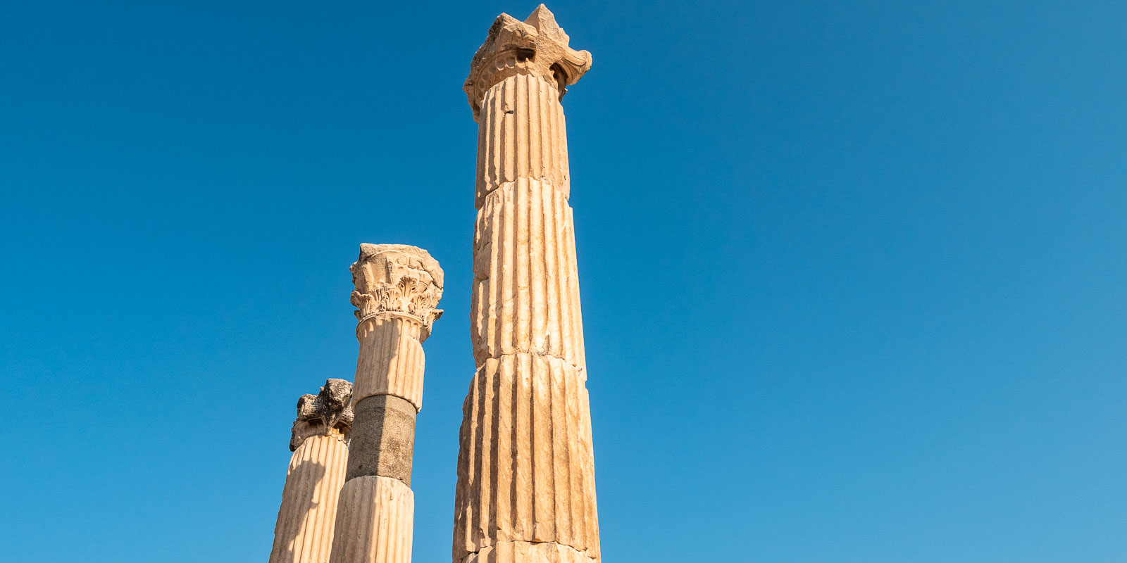
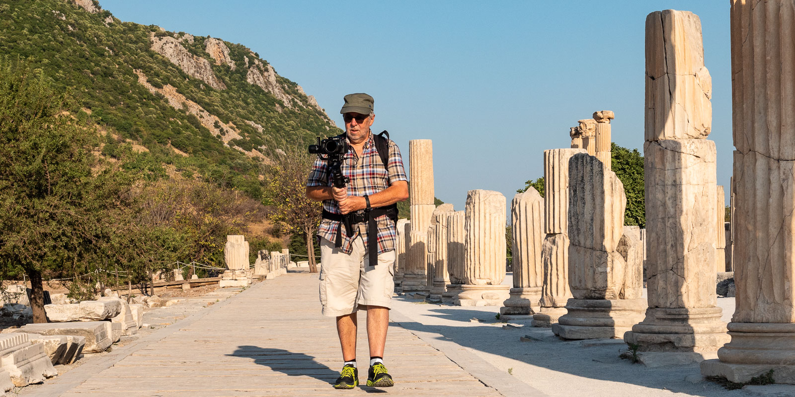
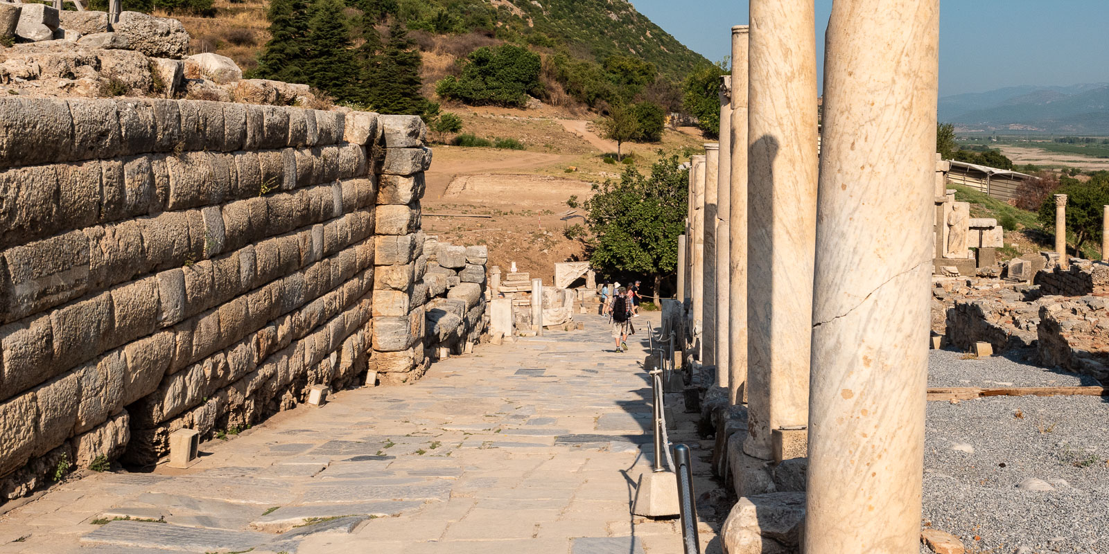
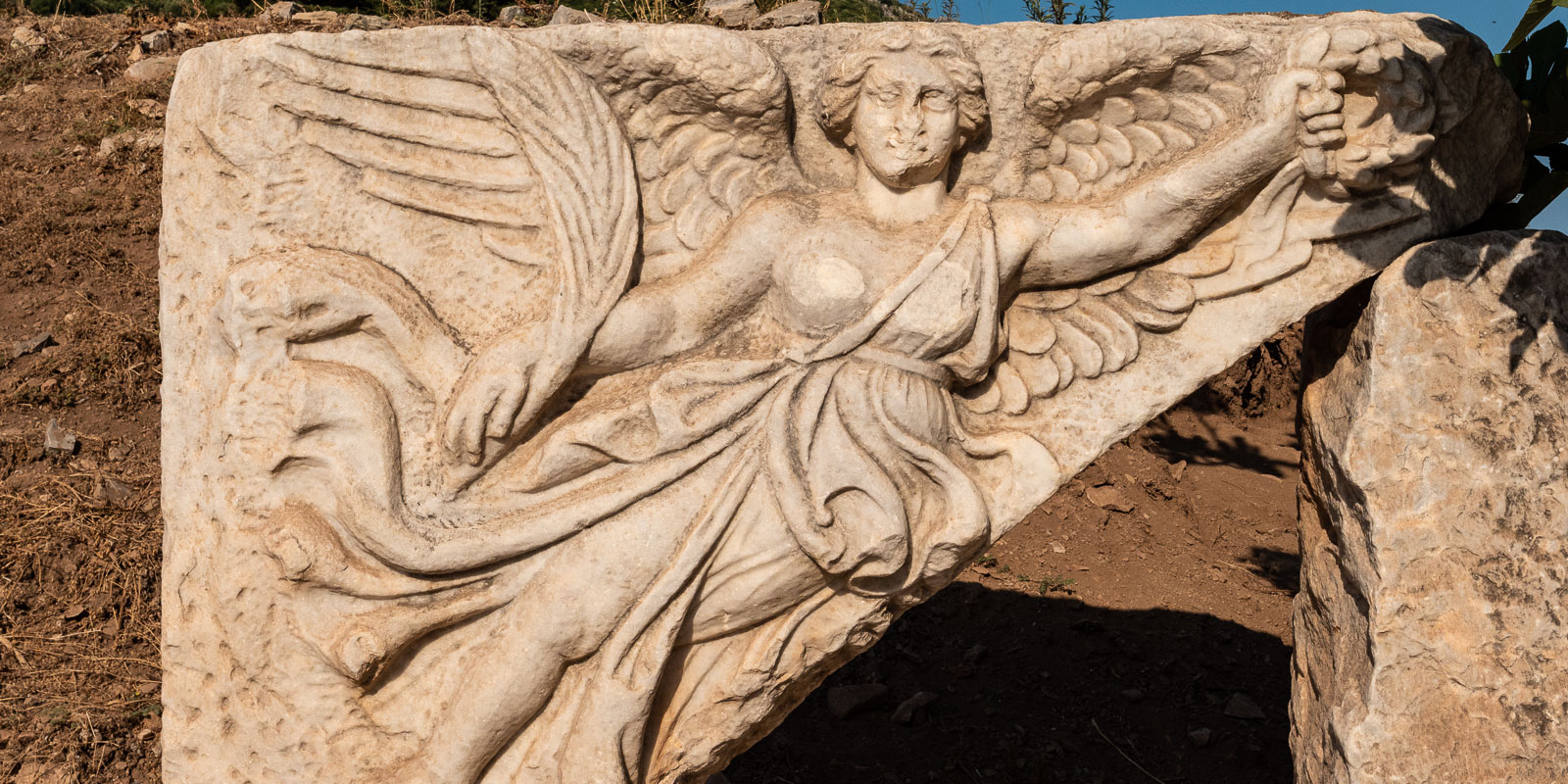
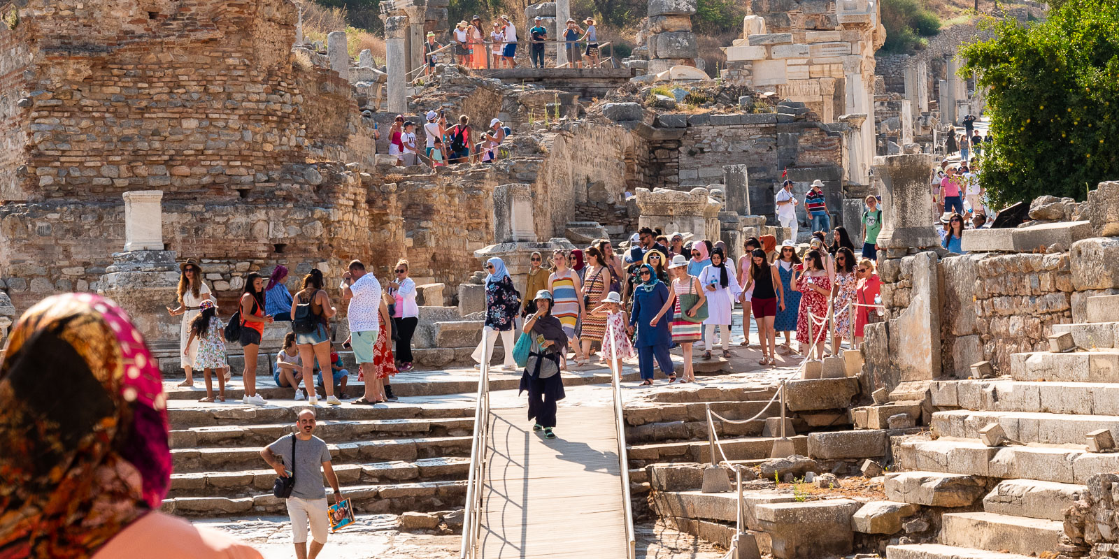
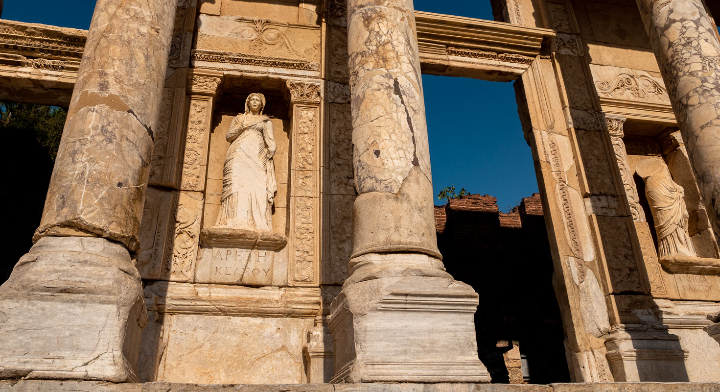
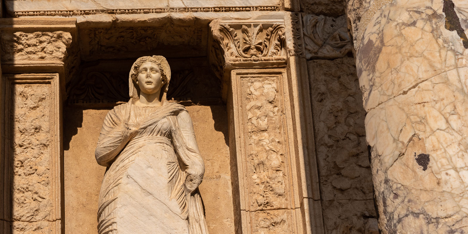
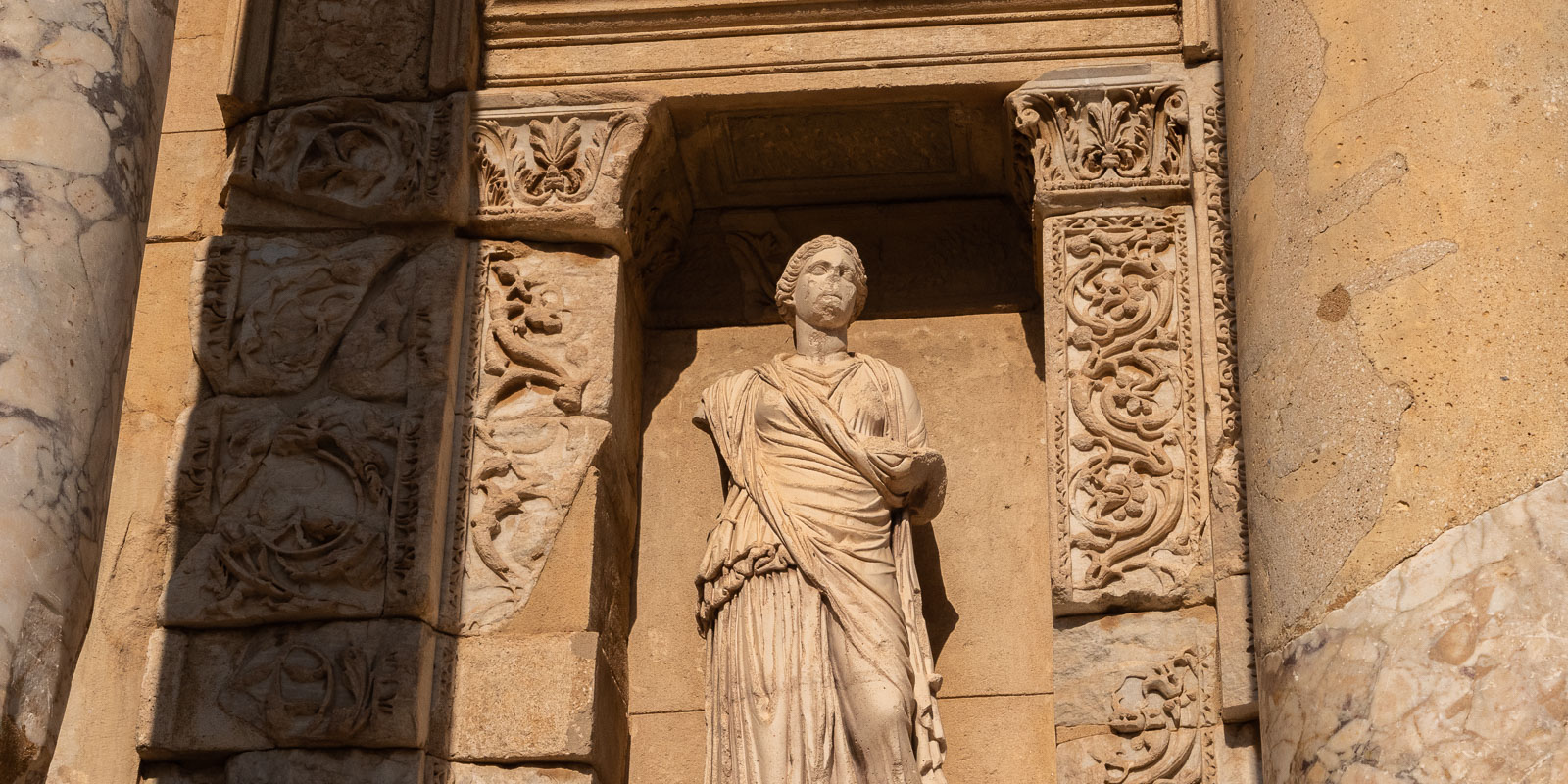
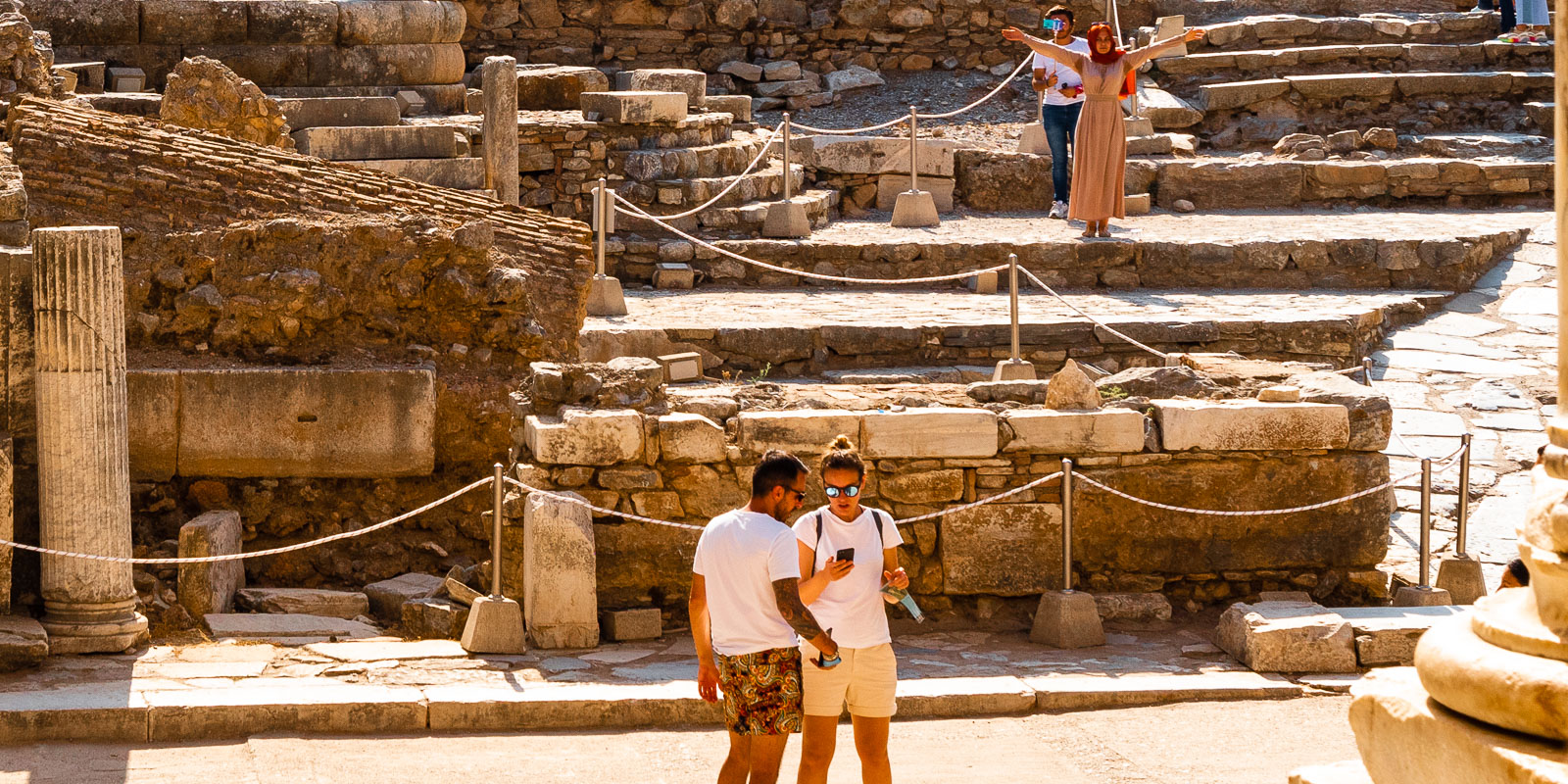
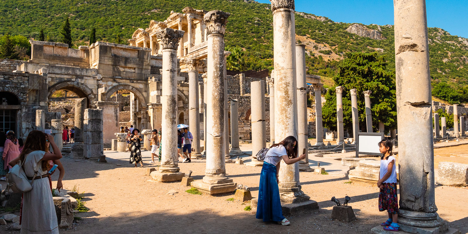
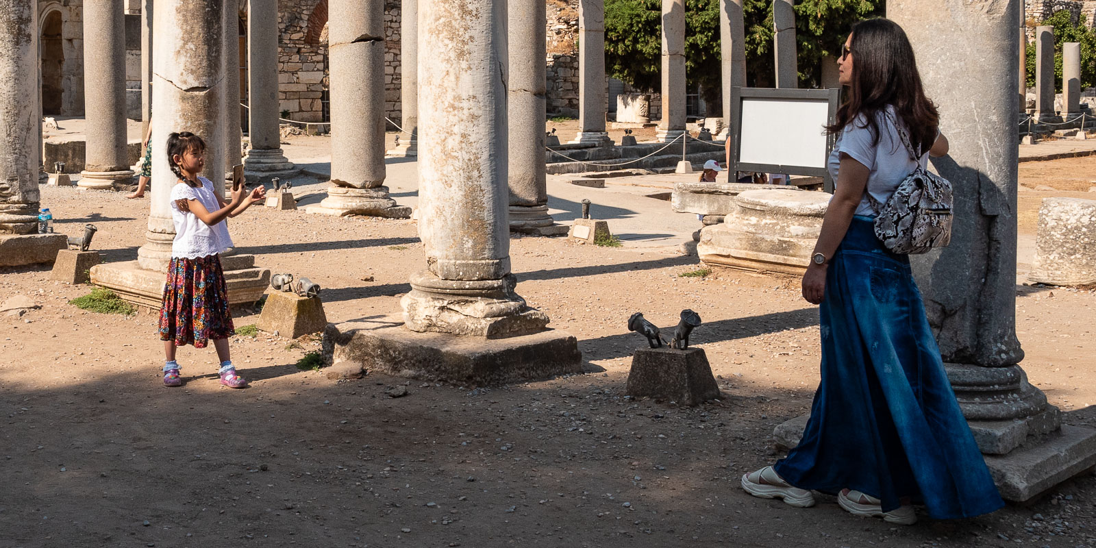
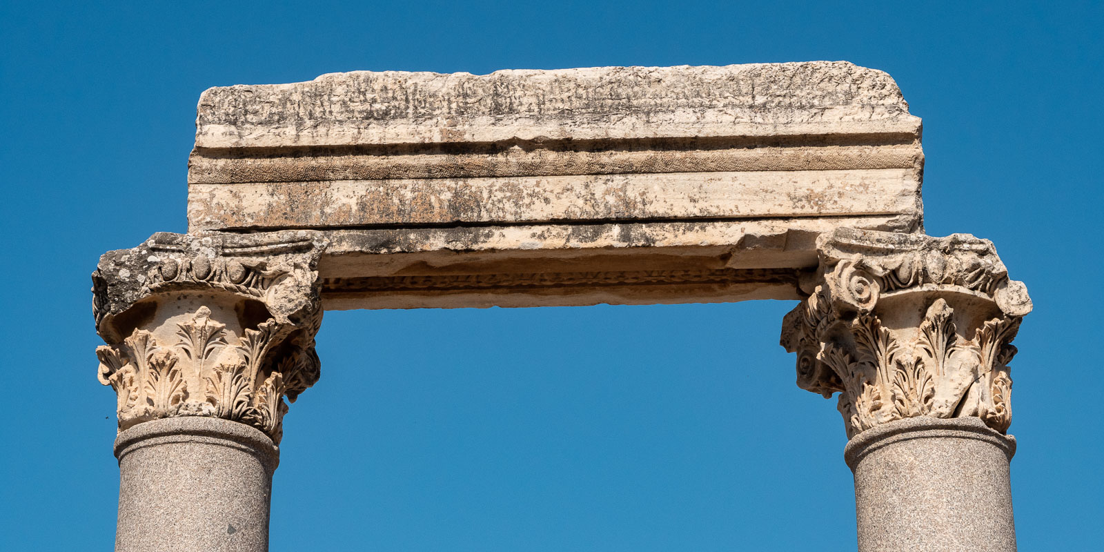
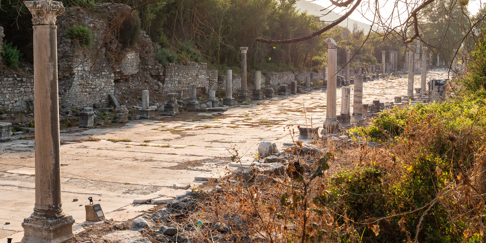
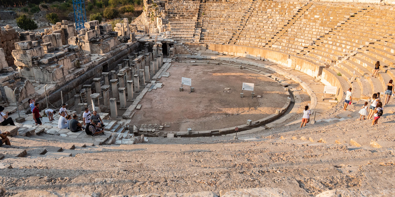
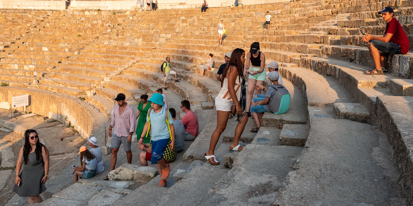
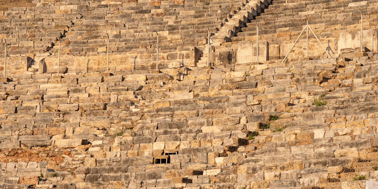
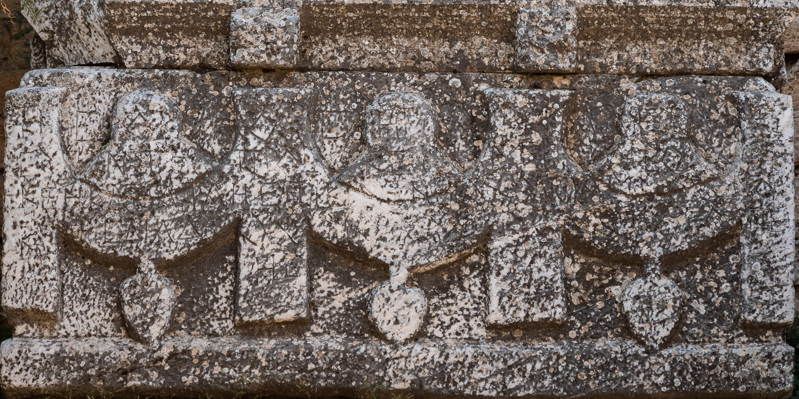
Ephesus
Ephesus was already a cosmopolitan city when Athens was still a deep province and Rome had not even been founded yet. In its heyday, Ephesus had around 250,000 inhabitants, which was an unimaginable number for the time. Ephesus was very rich, which is why it was also called the “Bank of Asia”. The port was the gateway to Persia and Anatolia, which is why trade flourished. But the cult of the fertility goddess “Artemis” also contributed significantly to the city’s wealth. Whole columns of silversmiths made a living from this cult by producing silver images of the goddess Artemis, who was called “Diana” by the Romans.
The apostle Paul worked in Ephesus for about 3 years. This work caused the silversmiths to become agitated as they feared for their good business. They instigated a rebellion against the apostle Paul. The whole town was in an uproar and rushed into the theater, dragging two of Paul’s companions with them and shouting “Great is Diana of the Ephesians” for two hours!

Only the city clerk was able to calm the crowd in a wise and prudent speech by saying: “Men of Ephesus, where is there a man who does not know that the city of Ephesus is the temple keeper of the great goddess Diana and the image that fell from heaven? Since this is irrefutable, you should remain calm and not do anything rash. For you have brought these men here who are neither temple robbers nor have blasphemed your goddess. But if Demetrius and the artists who are with him have a complaint against anyone, court days are held, and there are governors; they may sue one another. But if you have a request concerning other matters, it will be dealt with at the statutory meeting. Because we are in danger of being accused of rioting today, because there is no reason to excuse this riot!” And when he had said this, he dismissed the meeting.
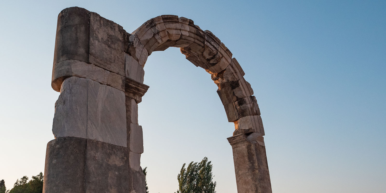
The town hall in the upper town
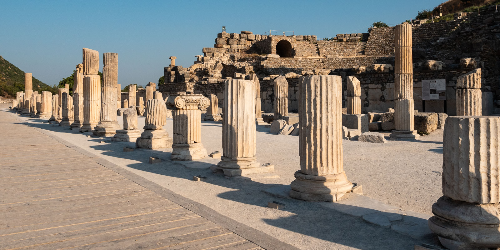
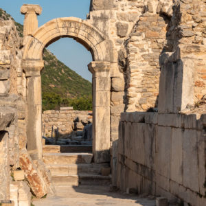
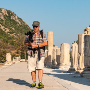
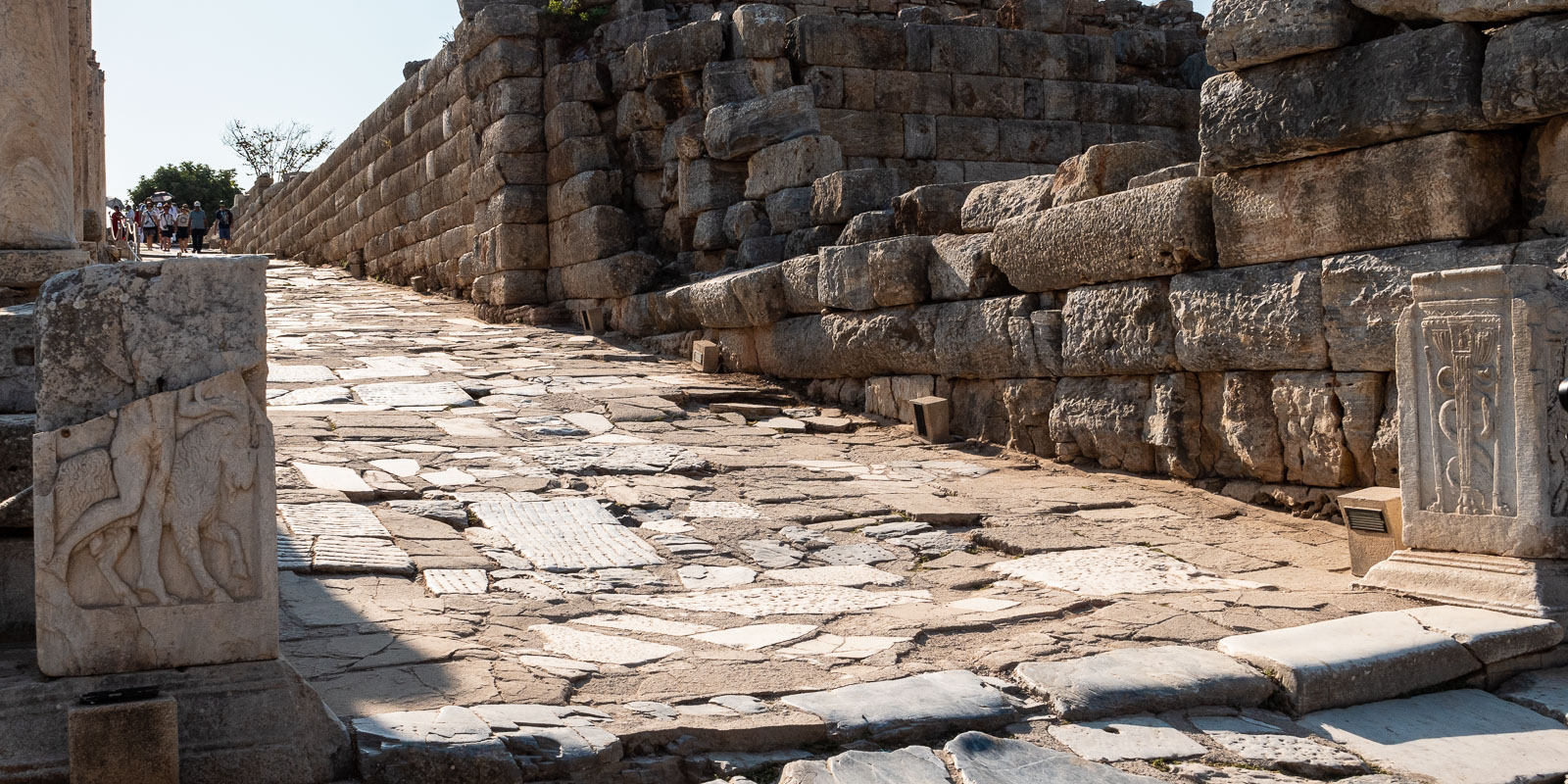
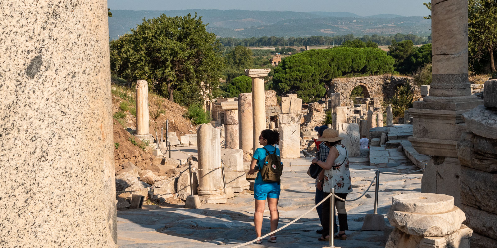
Down Kuretenstrasse to the Celsius Library
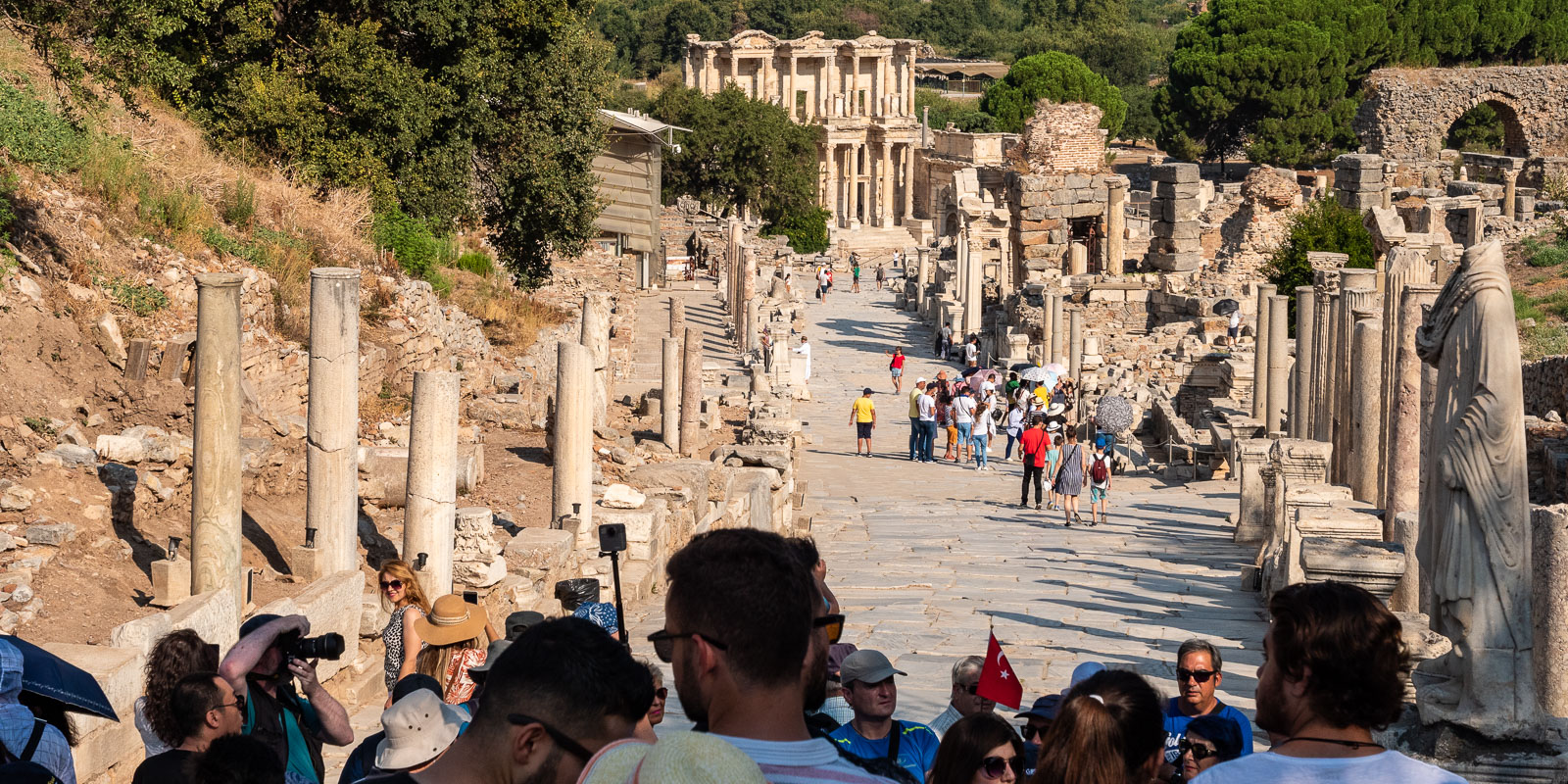
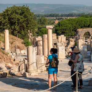
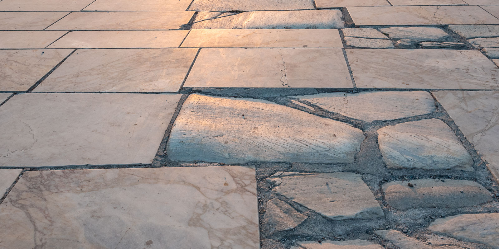
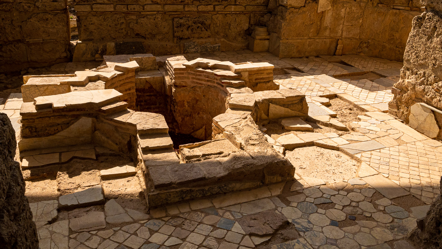
Celsius library and lower market square
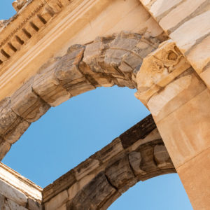
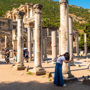
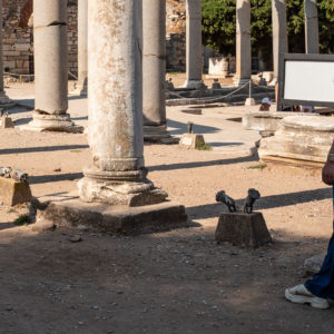
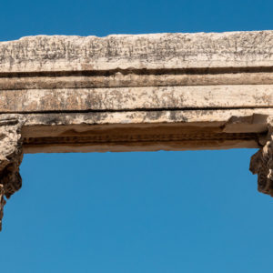
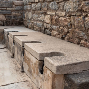
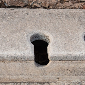
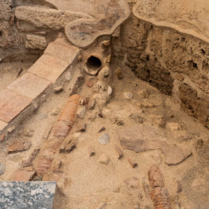
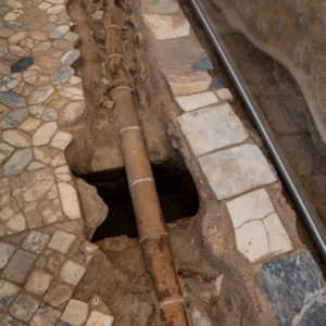
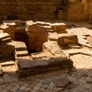
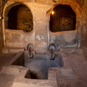
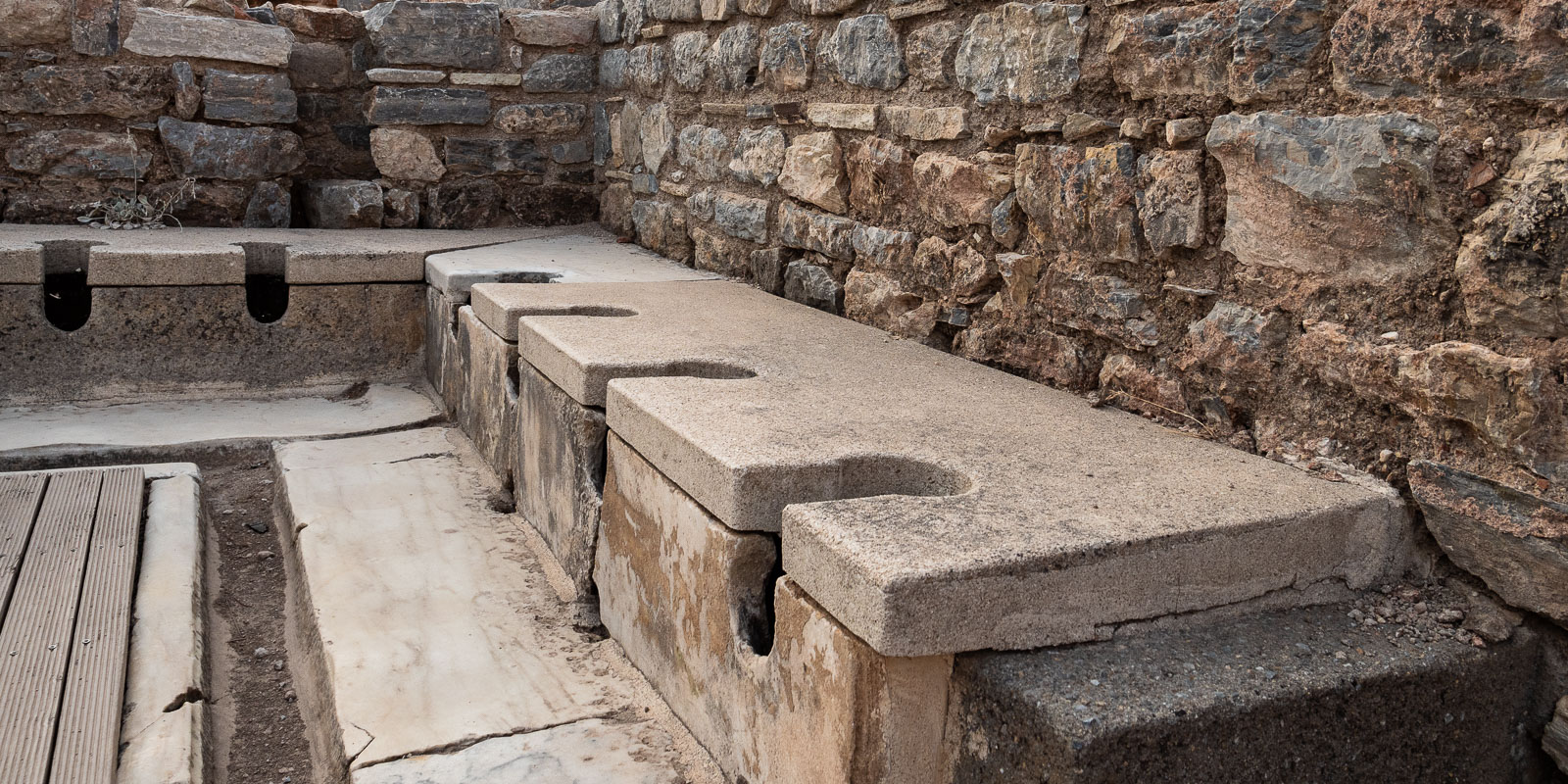
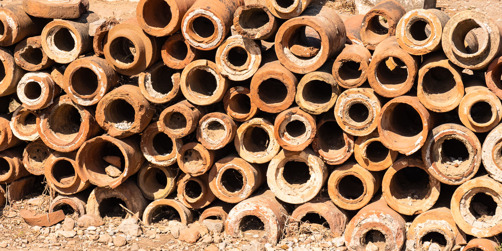
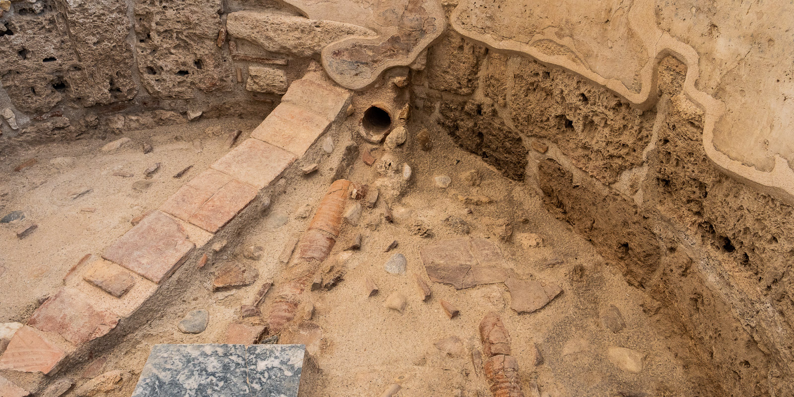
Public latrines and fresh water pipes
Hafenstrasse and theater
Eventually, the magnificent harbor began to silt up and Ephesus and its splendor sank!
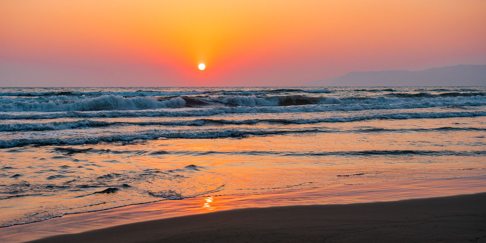
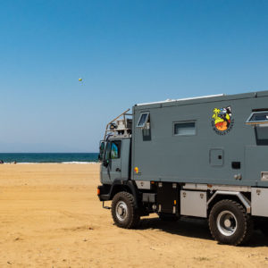
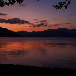
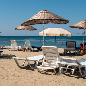
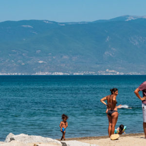
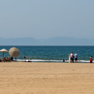
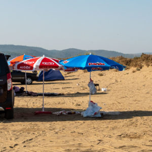
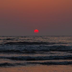
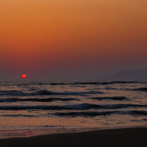
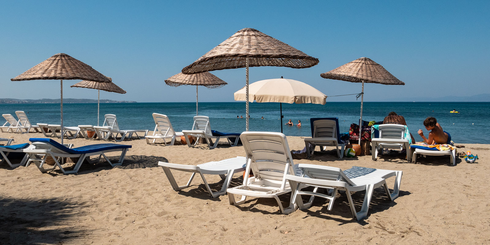
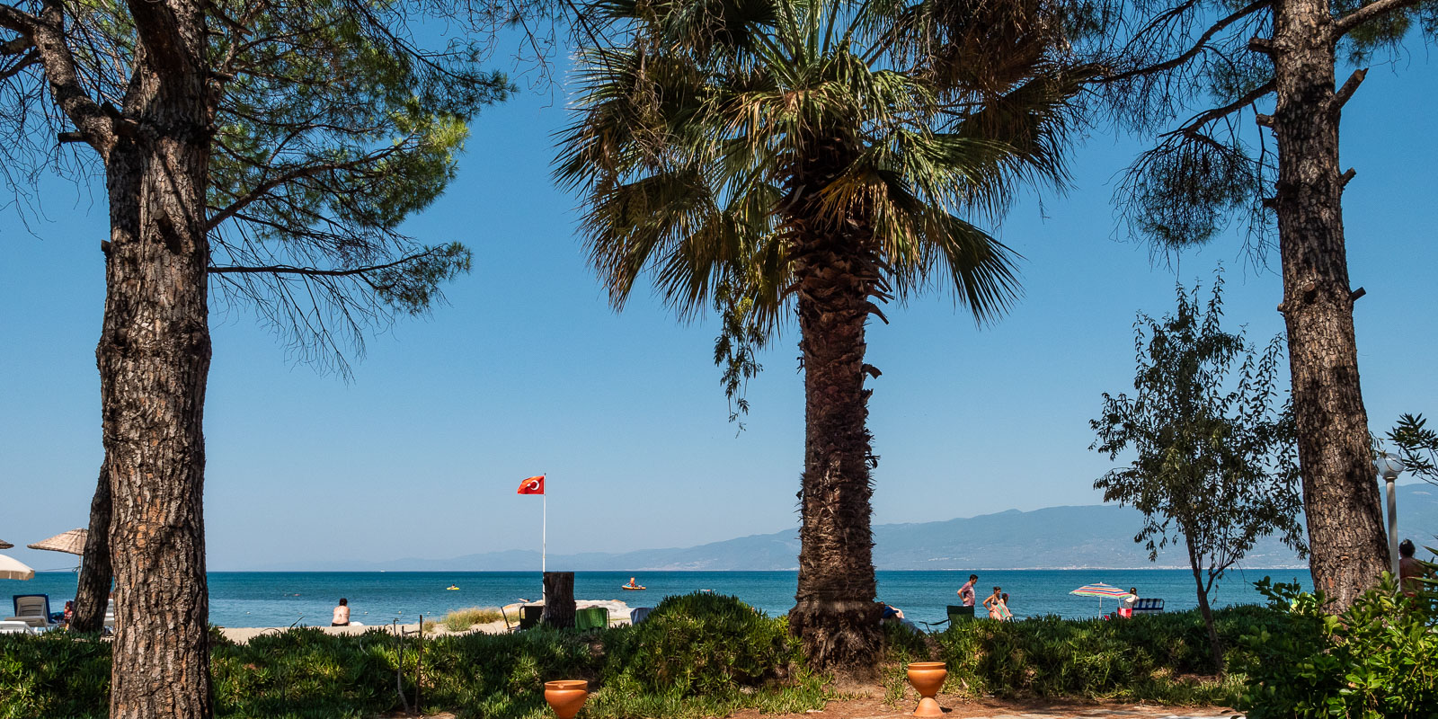
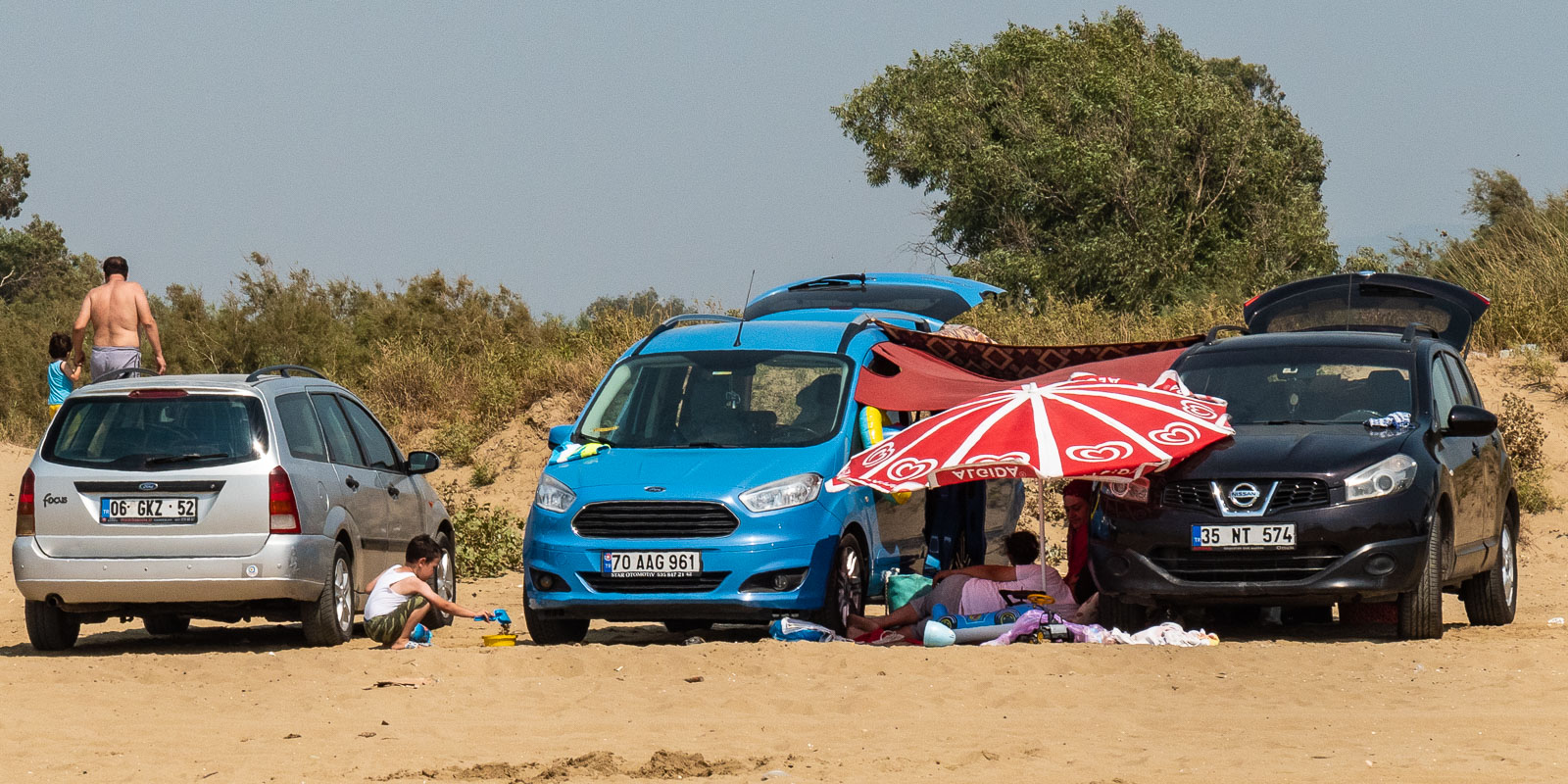
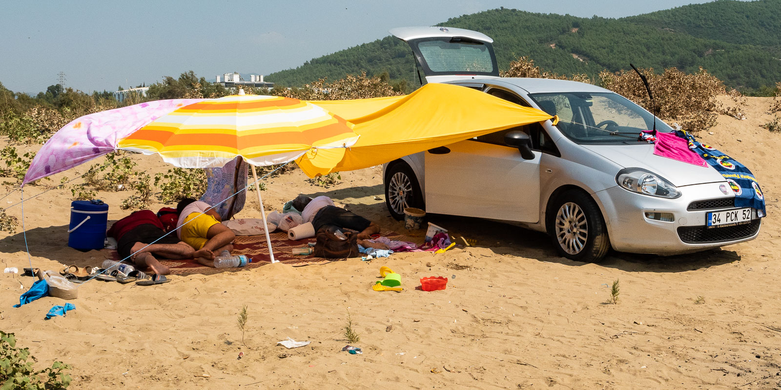
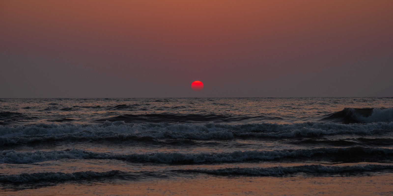
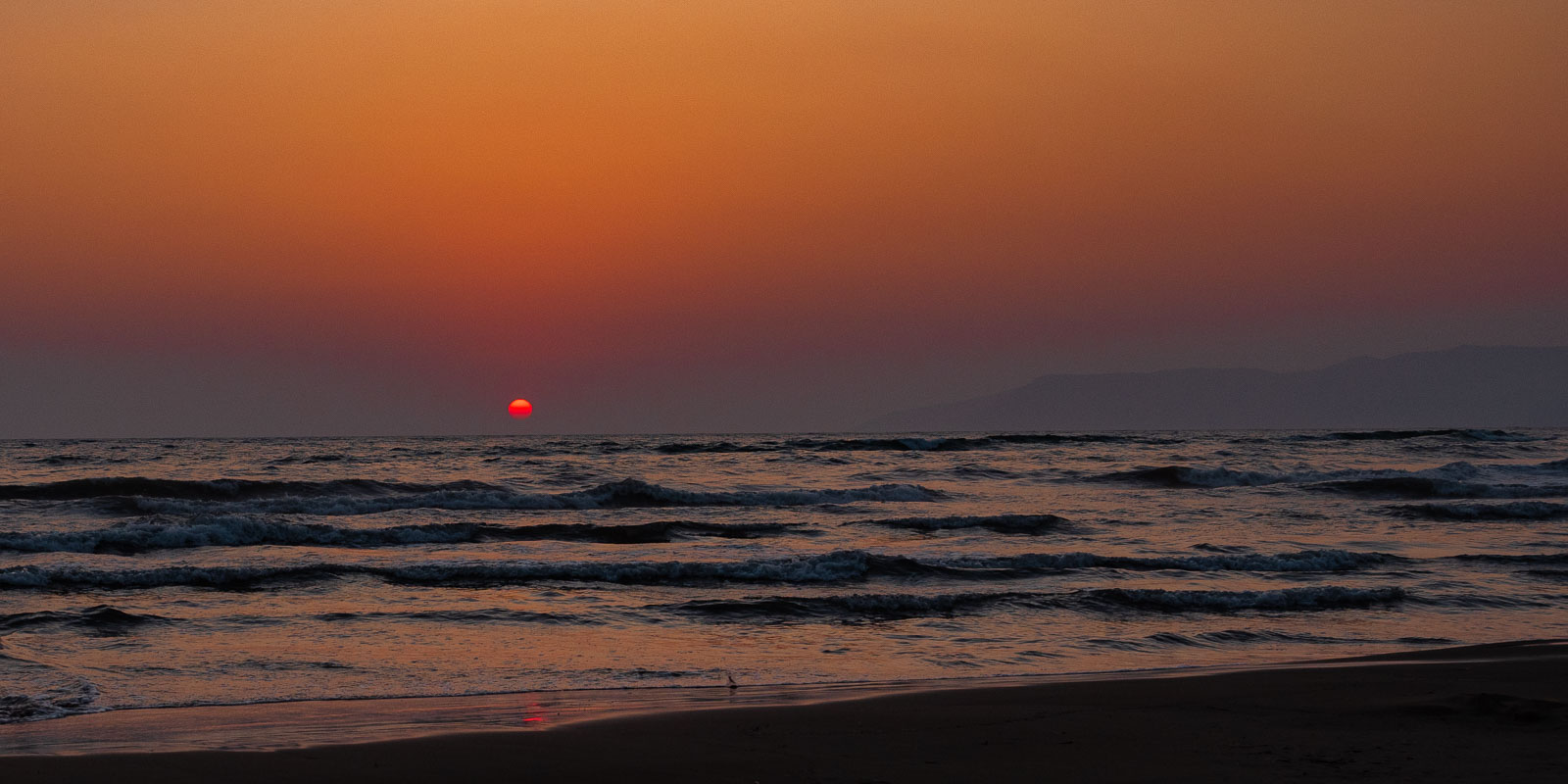
Pamucak beach
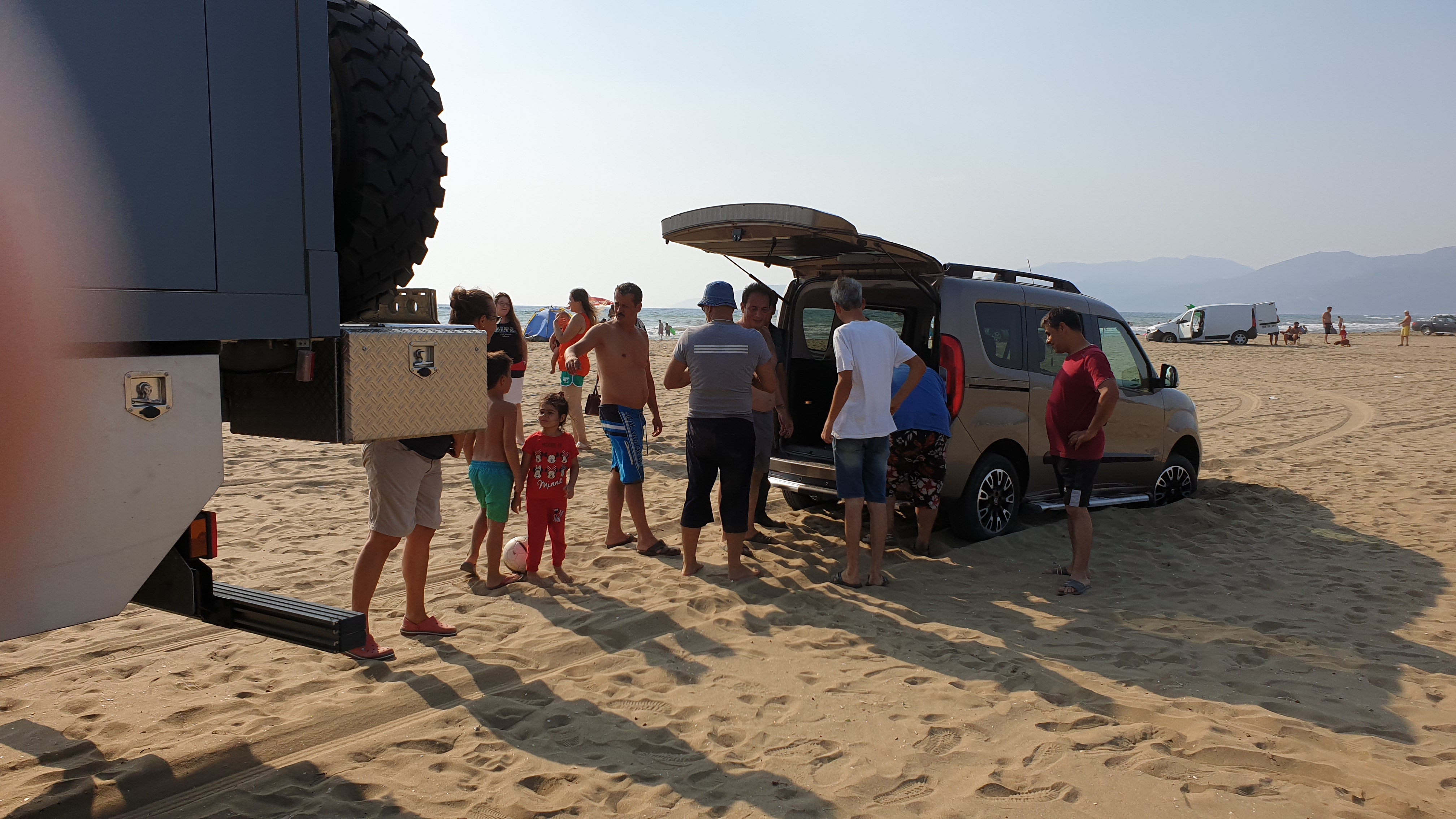
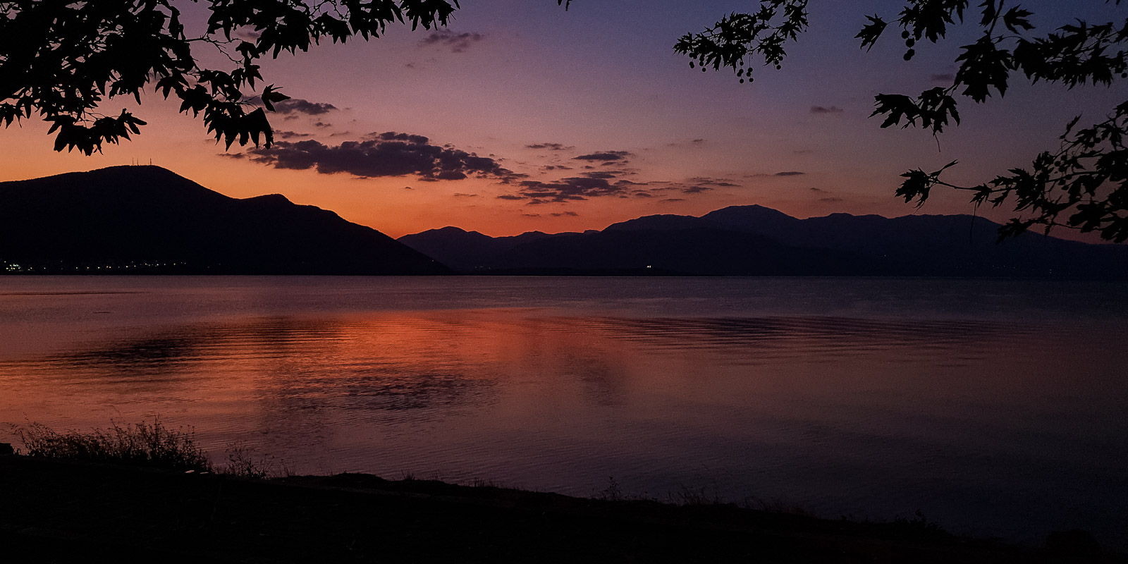
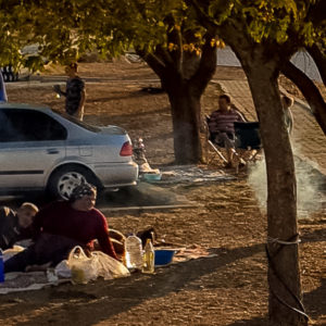
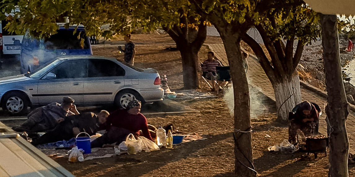
It is around five kilometers from Ephesus to Pamucak beach, a long and wide sandy beach that is also popular with the locals. We stood here safely, surrounded by locals at the weekend. With the result that we were asked four times to free the vehicle that had become stuck in the sand. As an encore: a beautiful sunset every evening.
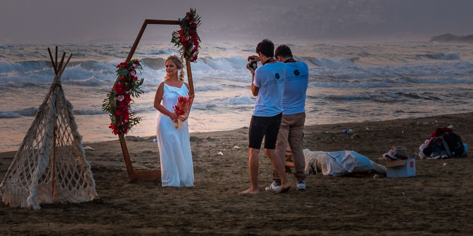
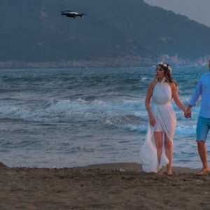
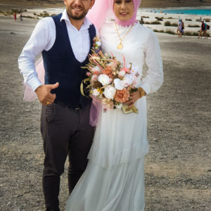
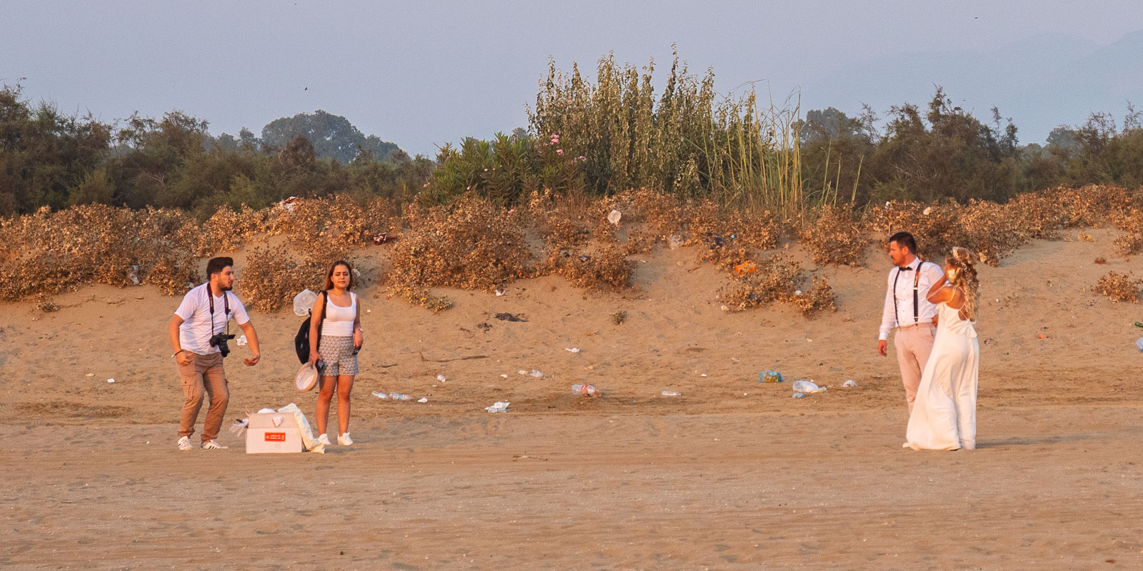
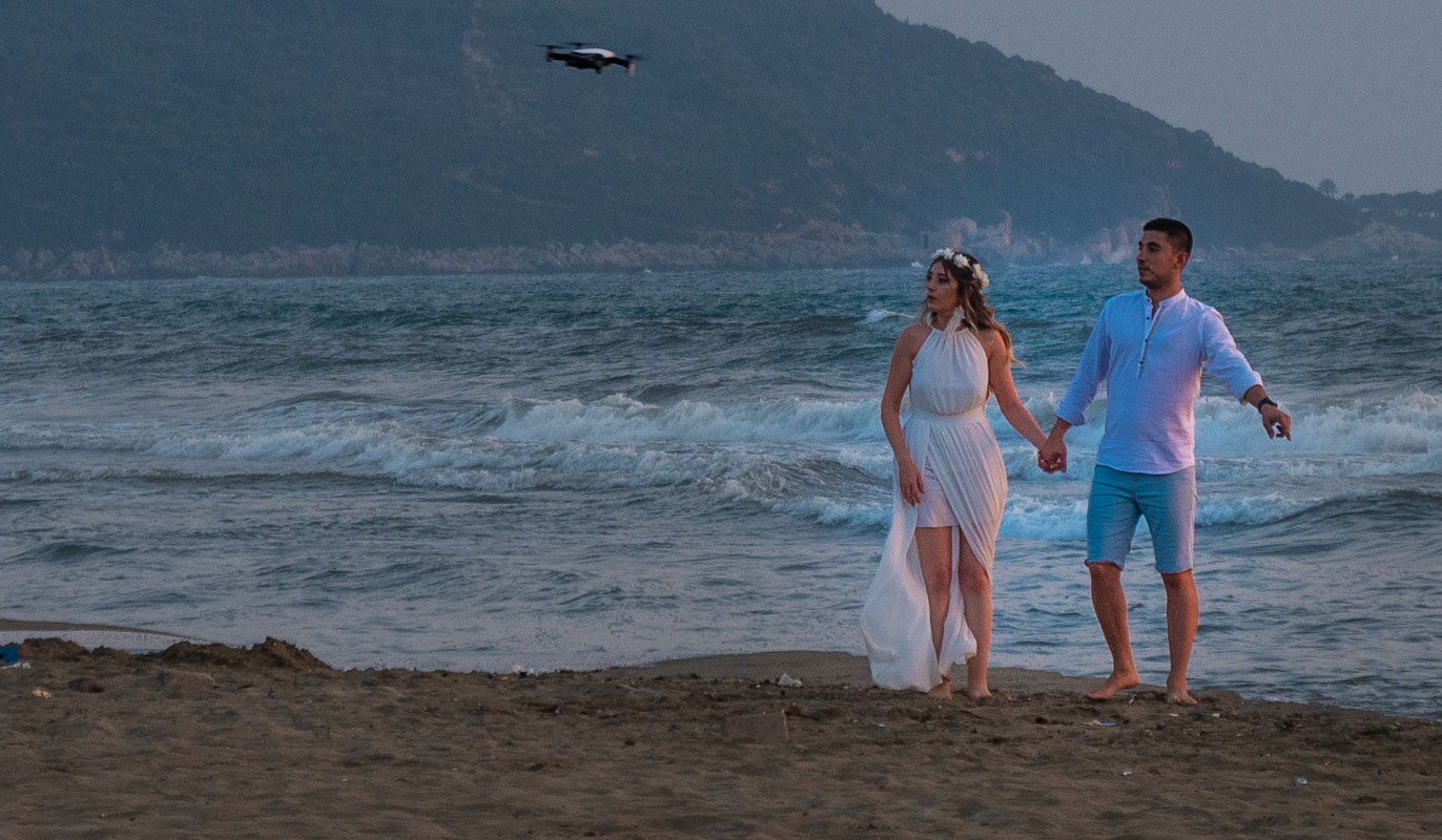
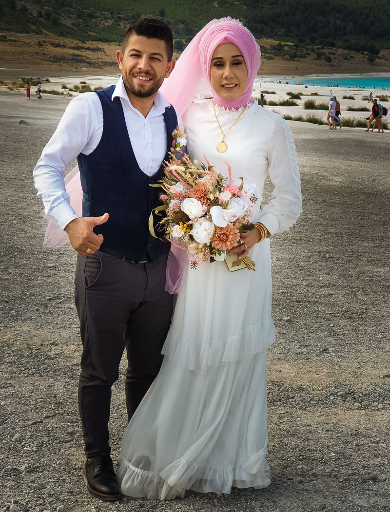
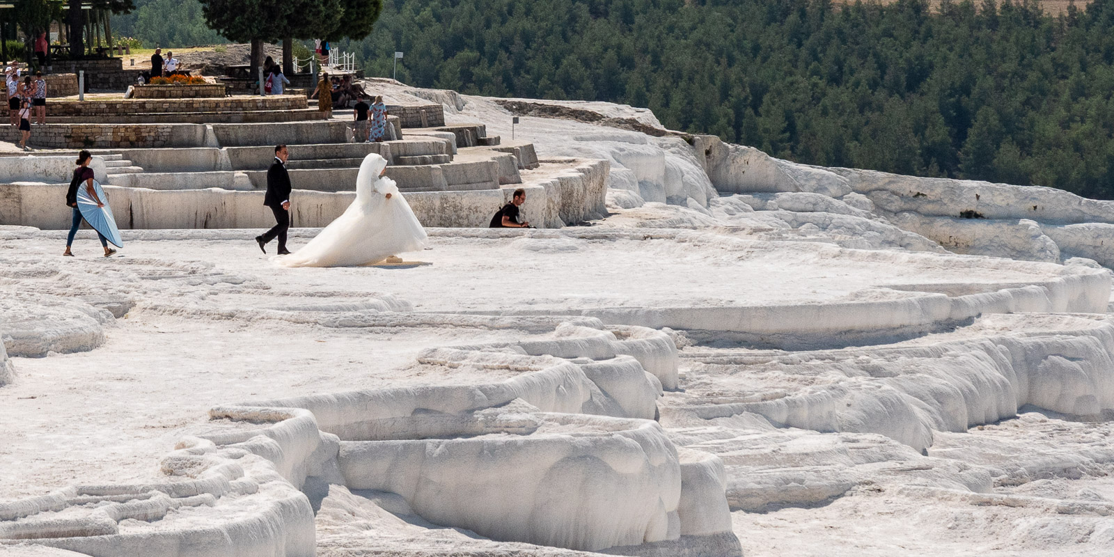
Marriage is a must …
At every conceivable, reasonably romantic location, sometimes in the midst of garbage, you meet bridal couples with their photographers. Photographs are taken well into the night. Usually against the sunset, in an avenue, with a forehand background, torches, fairy lights, fireworks, drone, etc.
Video
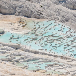
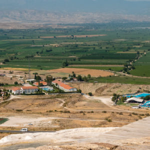
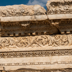
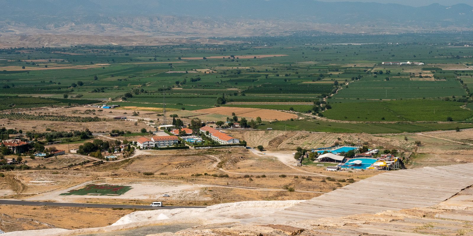
Pamukkale
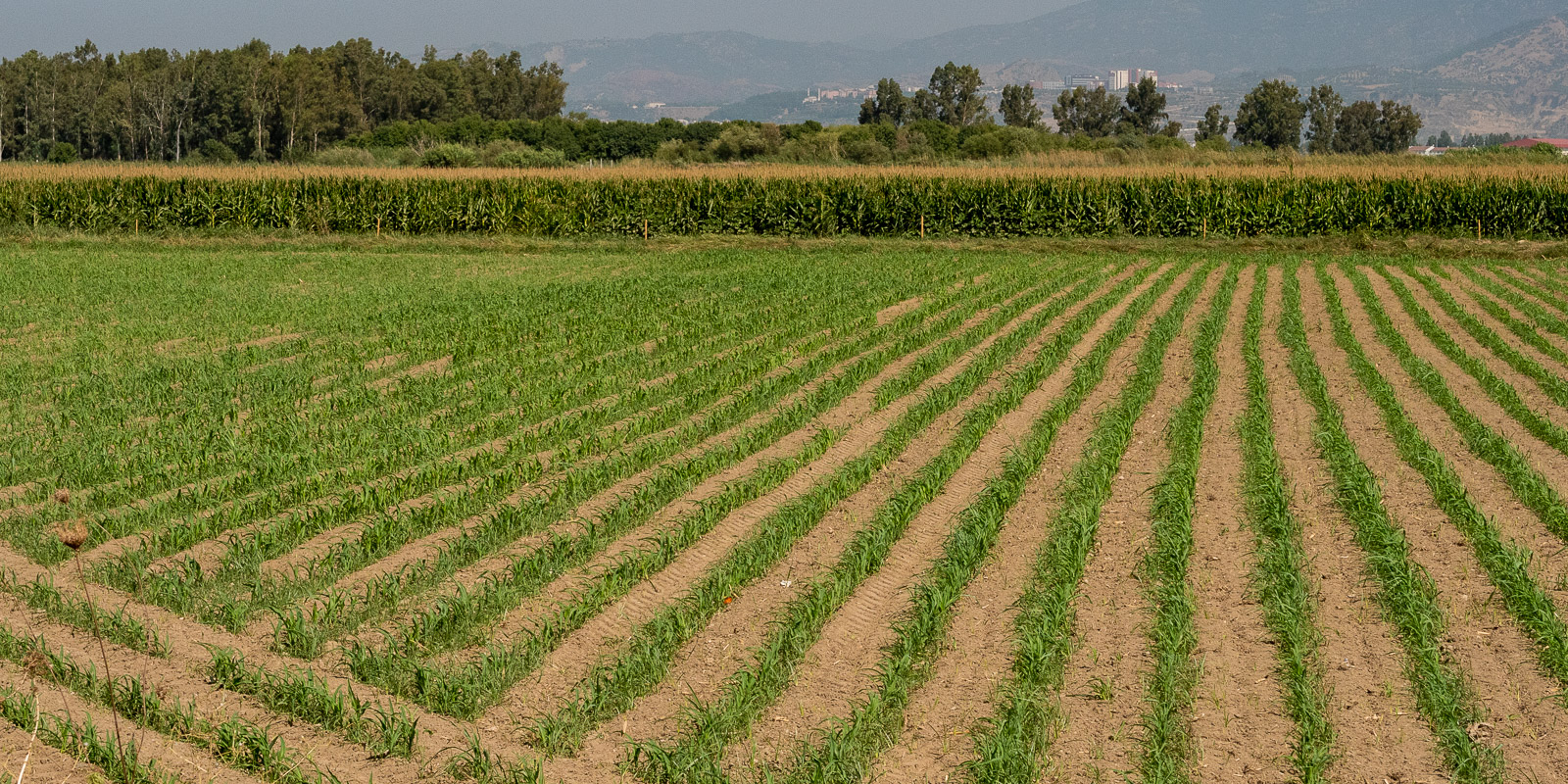
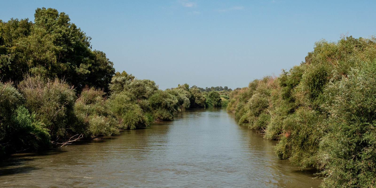
The journey from Ephesus to Pamukkale takes you through the Menderes Valley, which means meander. We want to see the river, which is why we follow the narrow 09-25 from Aydin onwards.
Where do they stand?
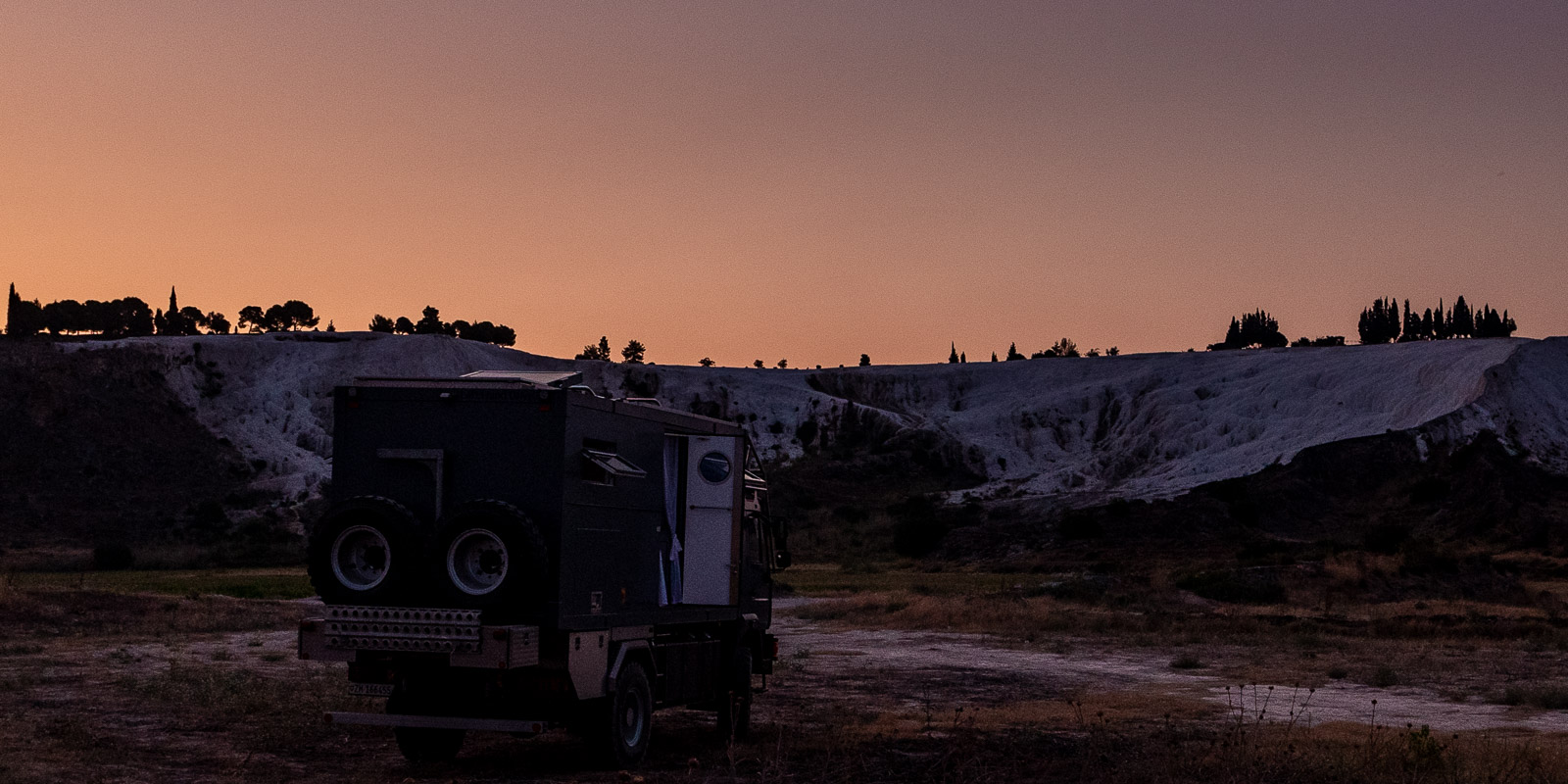
We read that you can stand overnight in the north parking lot of Pamukkale for the rather steep price of 30 lira. We are already in our pyjamas when the night watchman sends us away: “No camping”. Due to our lack of knowledge of Turkish, we cannot discuss the fact that what we are doing is not camping. So we move to a spot directly below the sinter terraces (37.928755, 29.114150), which we fortunately saw in passing during the day. Otherwise it would be difficult to find a good spot in the dark.
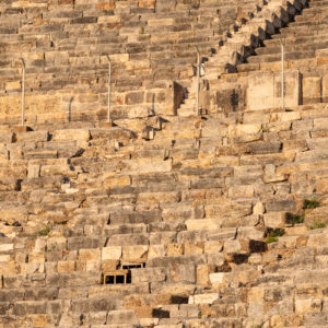
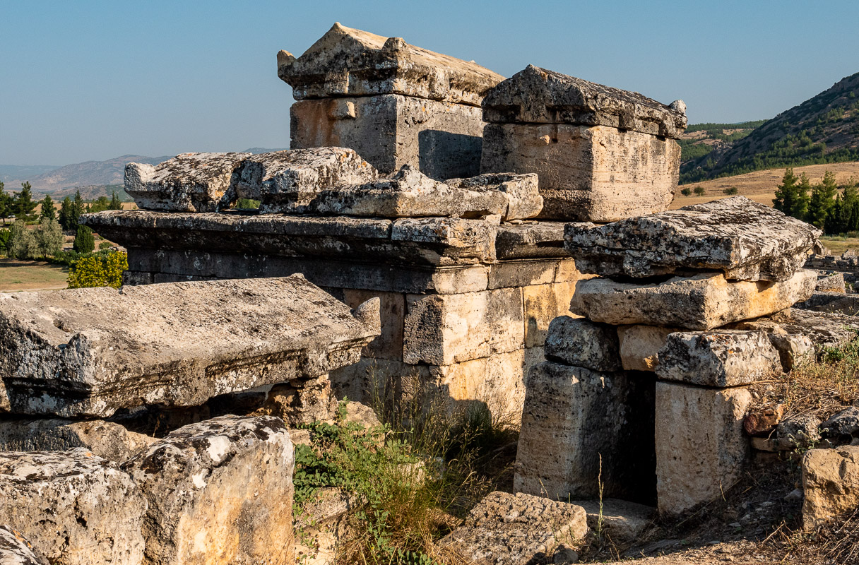
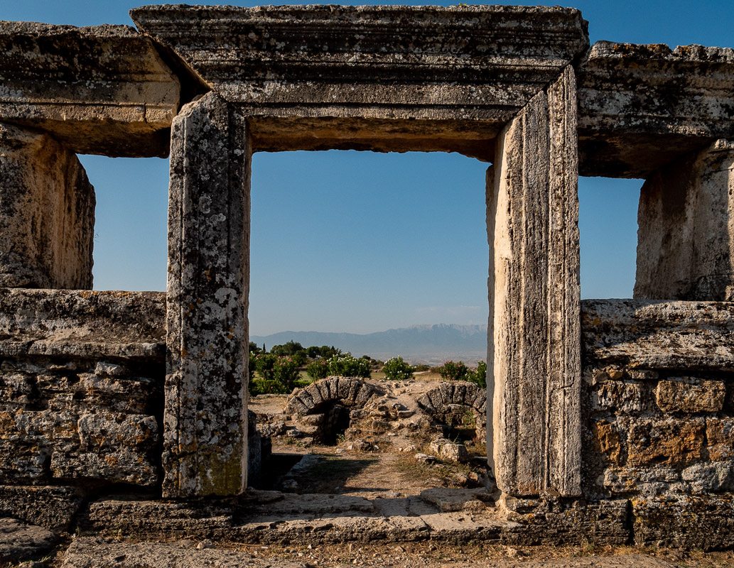
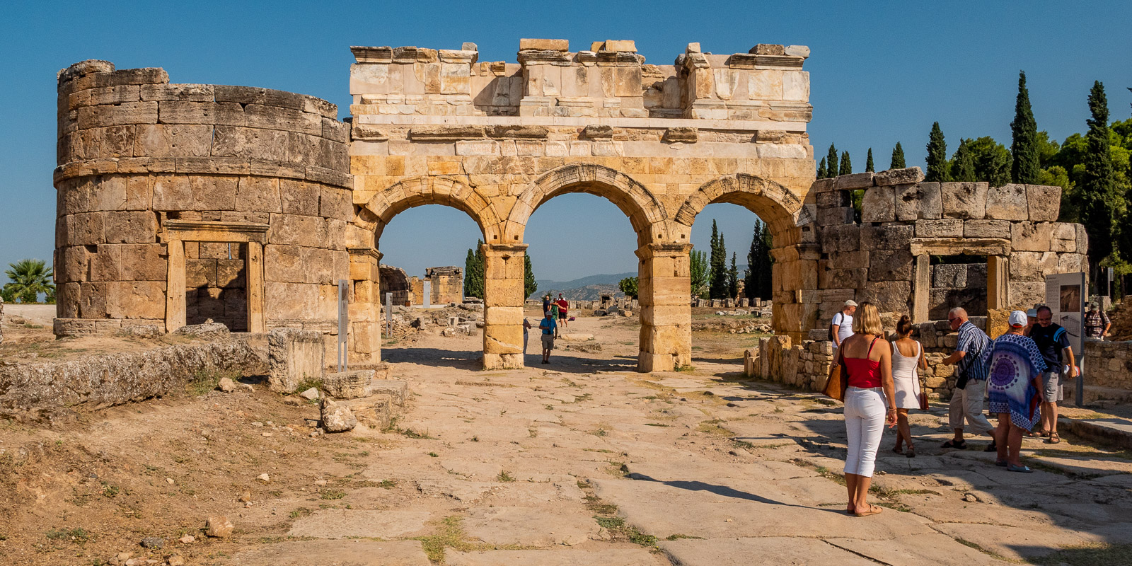
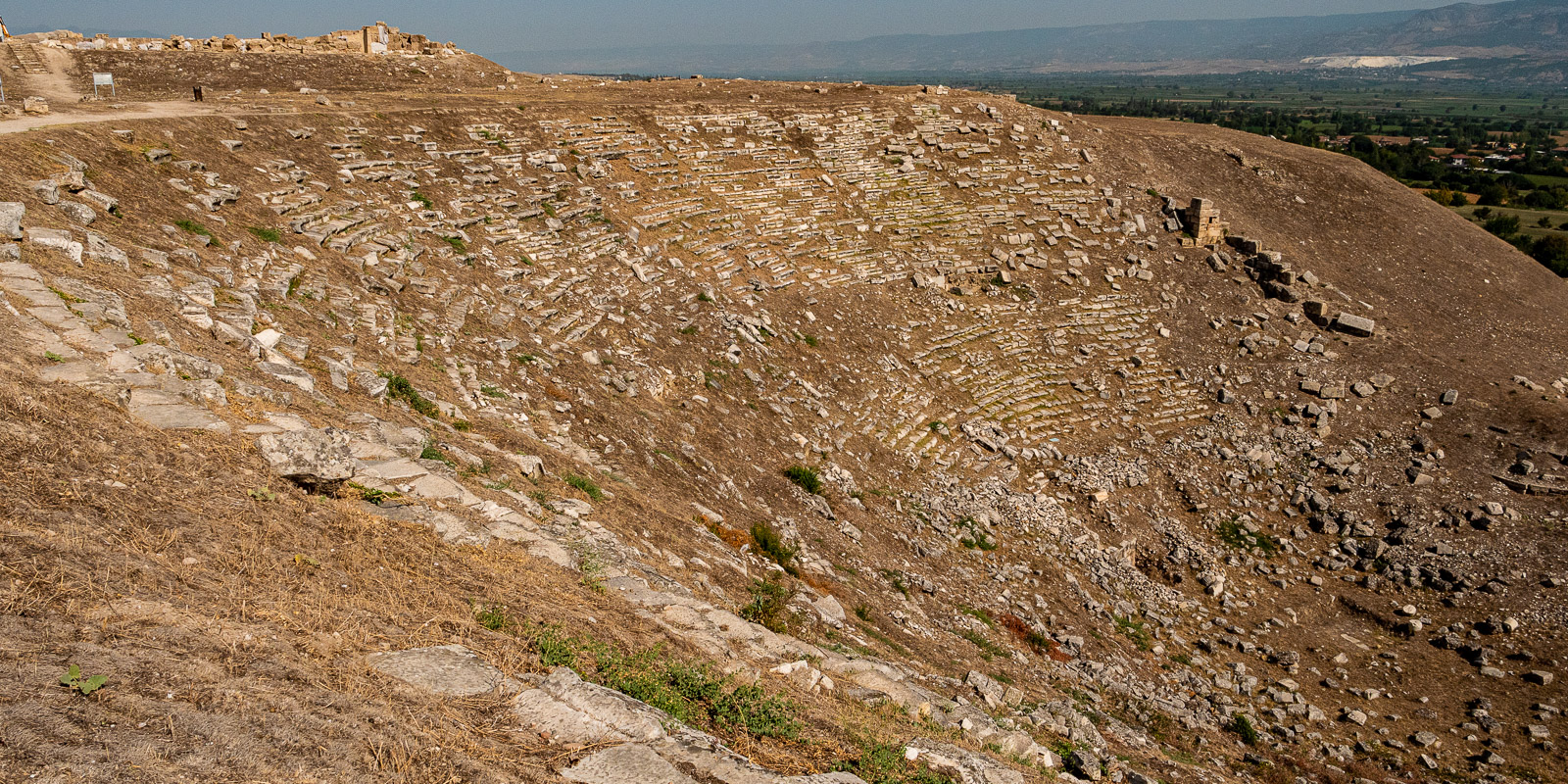
Hierapolis
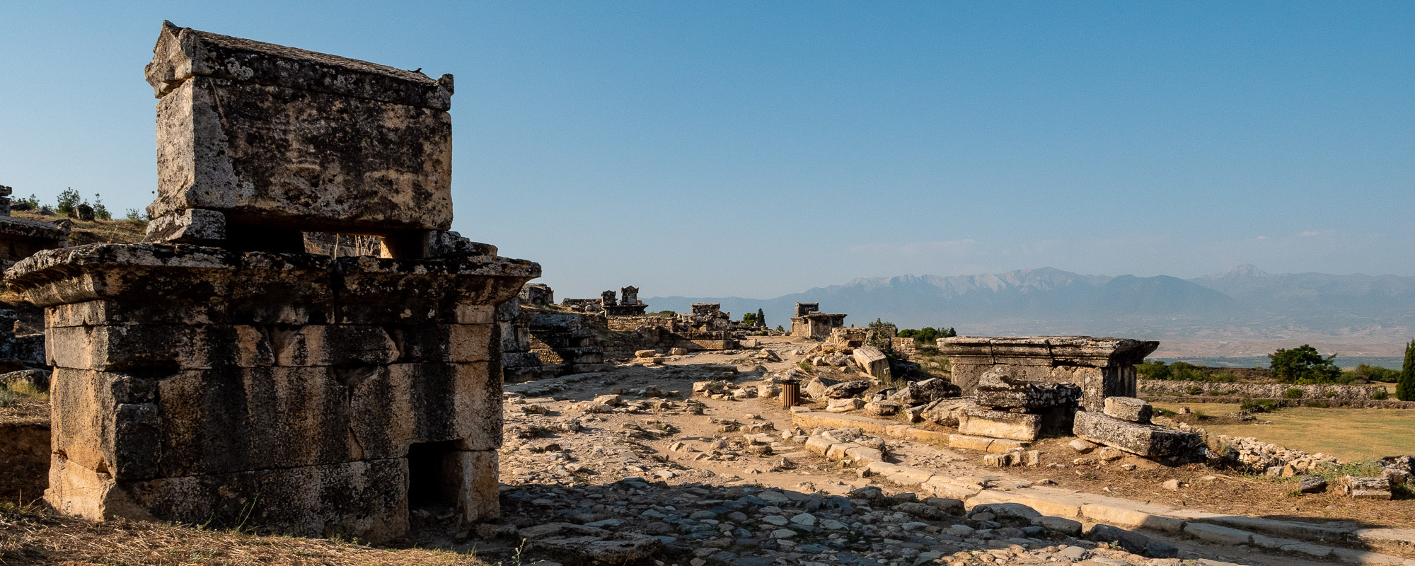
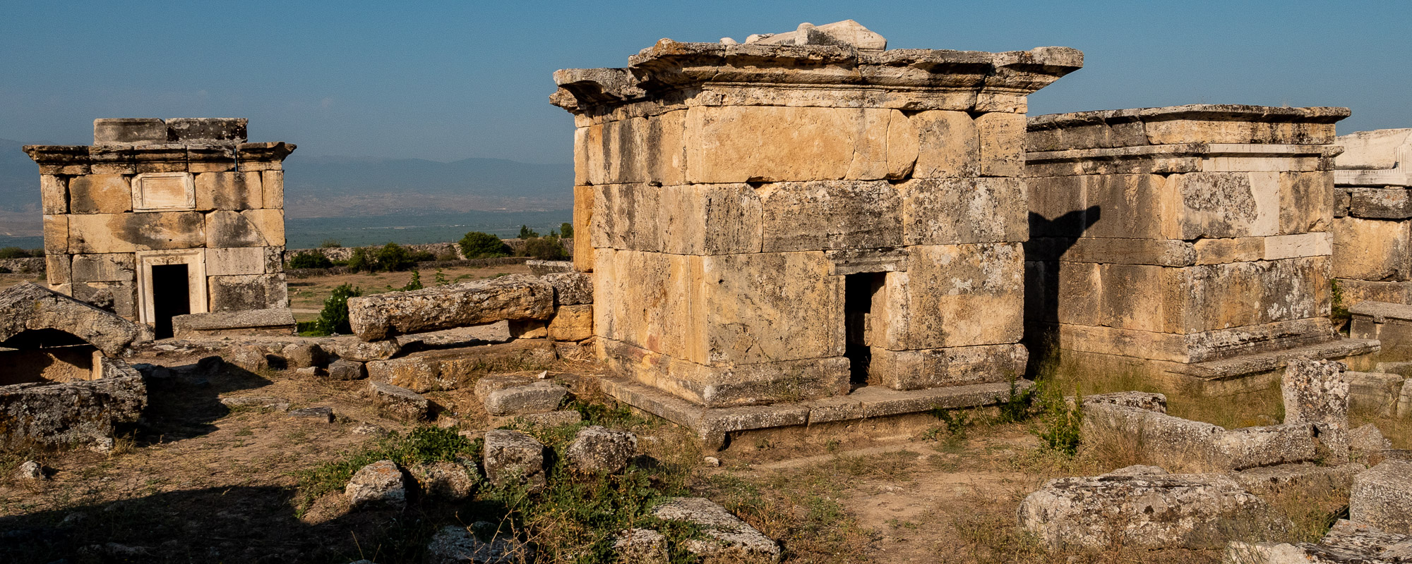
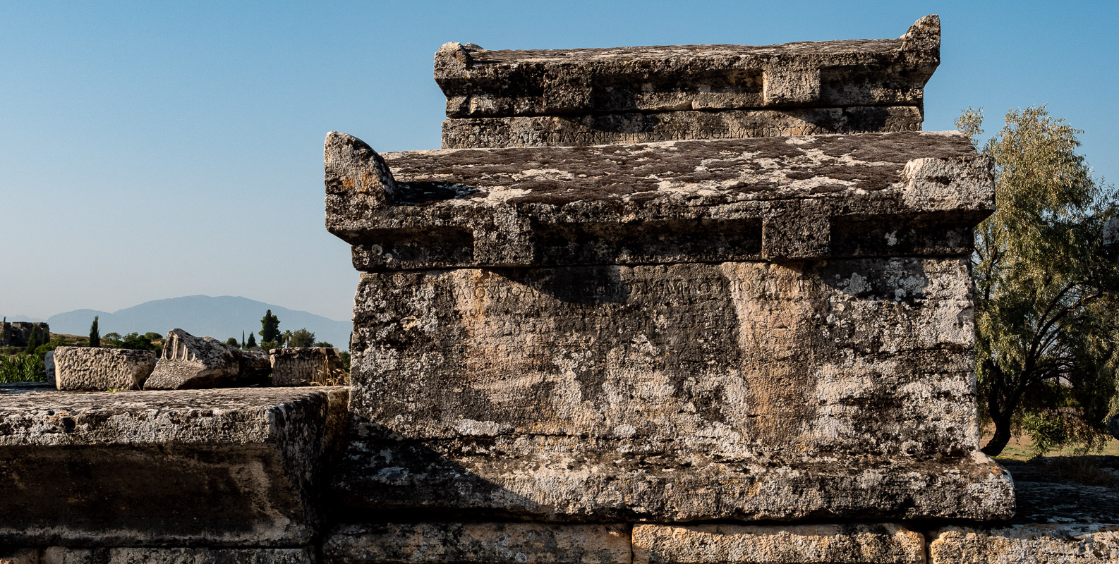
We start our tour of the Pamukkale Sinter Terraces at 8 a.m. at the north parking lot. The tour begins at the extensive necropolis of Hierapolis. There are still few tourists around and the morning silence suits the necropolis and this unique cemetery.
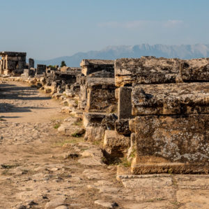
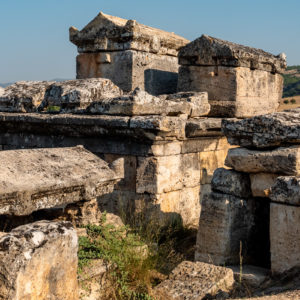
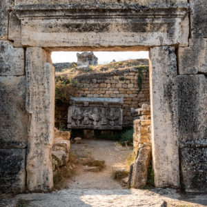
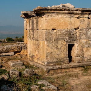
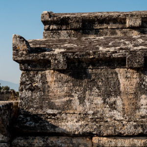
This monumental cemetery is around one kilometer long. As you walk, you naturally also think about where you came from and where you are going. Where are all these people buried here now? At one of the “idyllic” gravestones, the questioning thought pops into my head: “Gateway to heaven?”
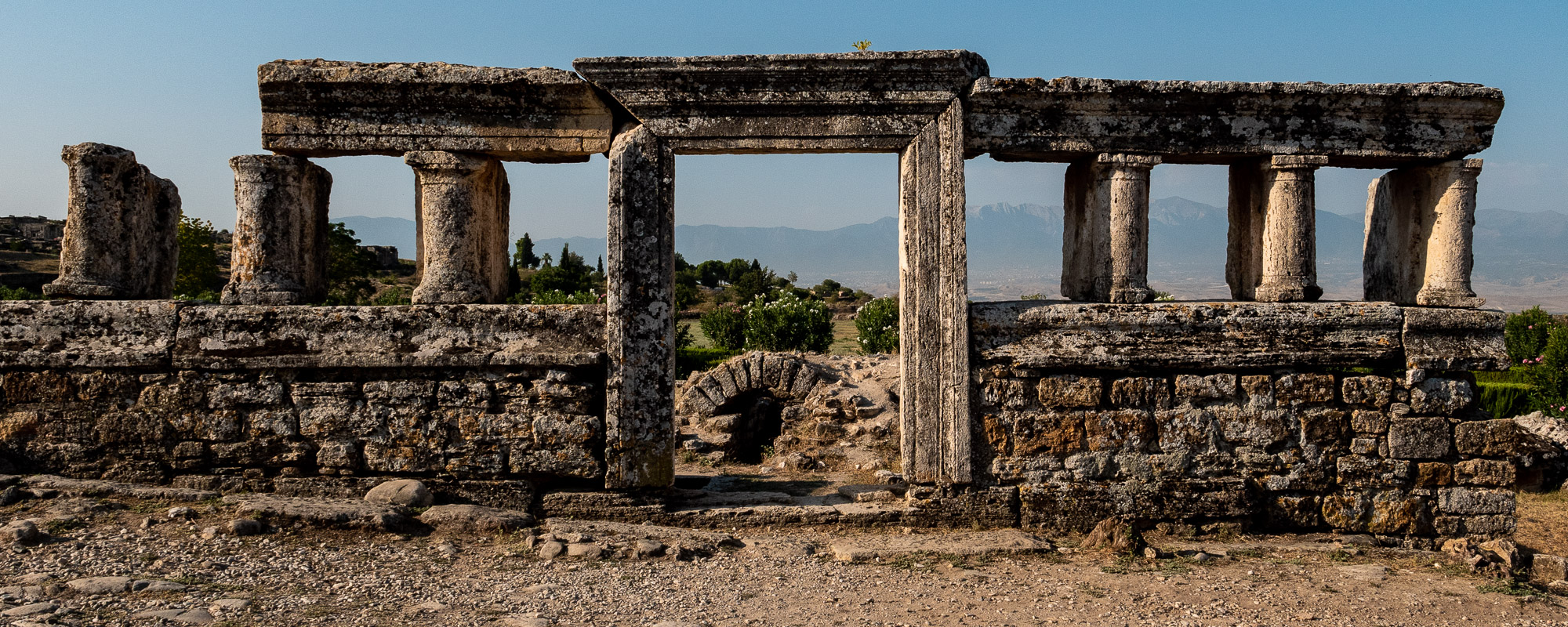
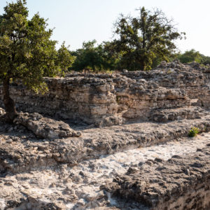
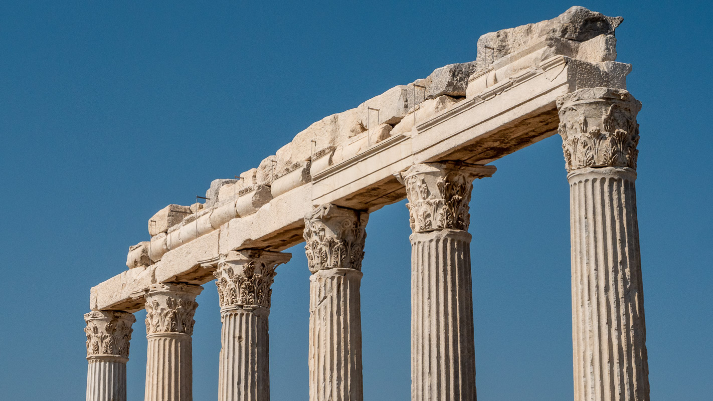
Even the Hittites and Phrygians appreciated the local healing spring. However, it was the Pergamenian (Pergamon) king Eumenes II who founded the ancient city of Hierapolis at the healing spring – as a rival to nearby Laodicea.
As we don’t want to count too many stones, we only wander through the part of Hierapolis that takes us to the sinter terraces of Pamukkale.
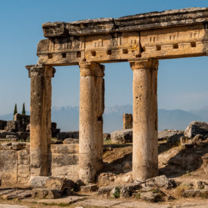
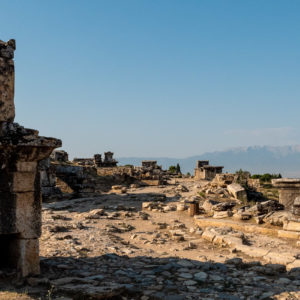
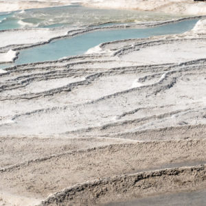
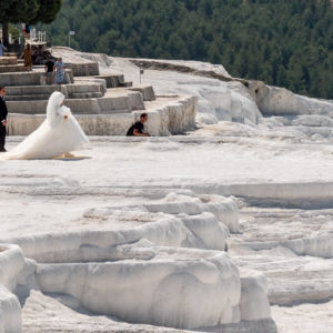
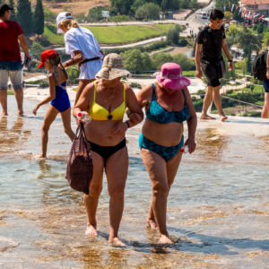
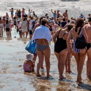
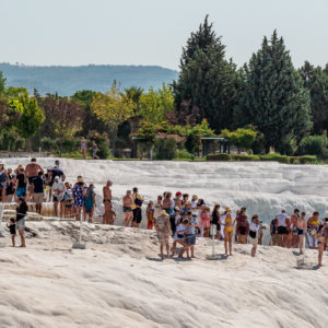
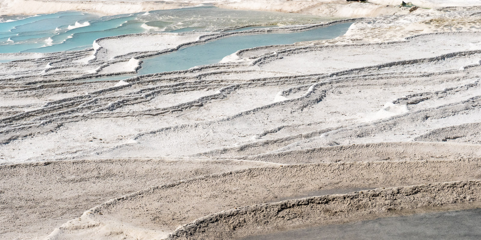
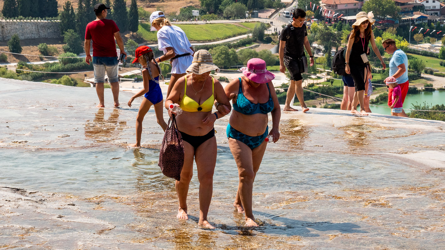
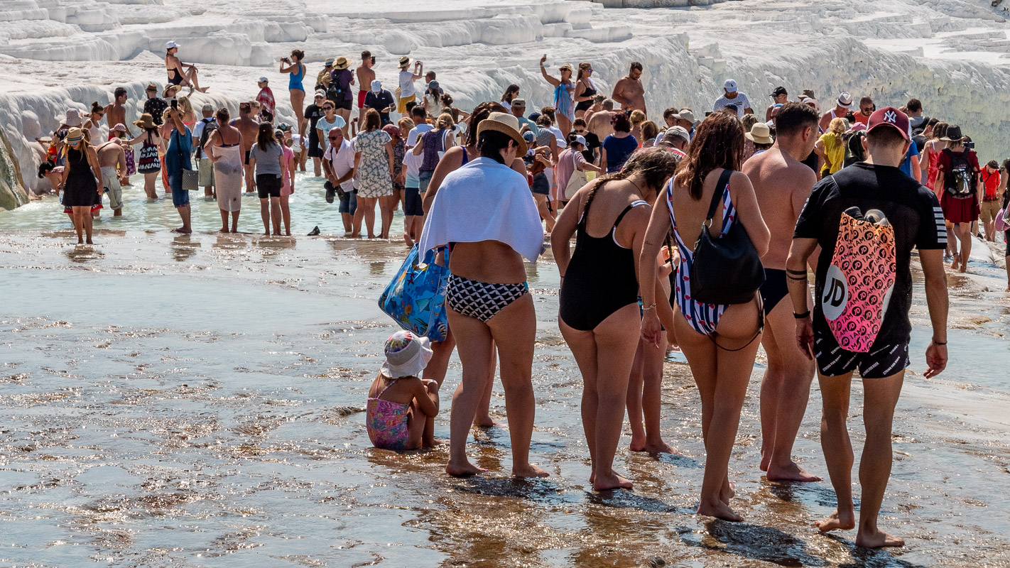
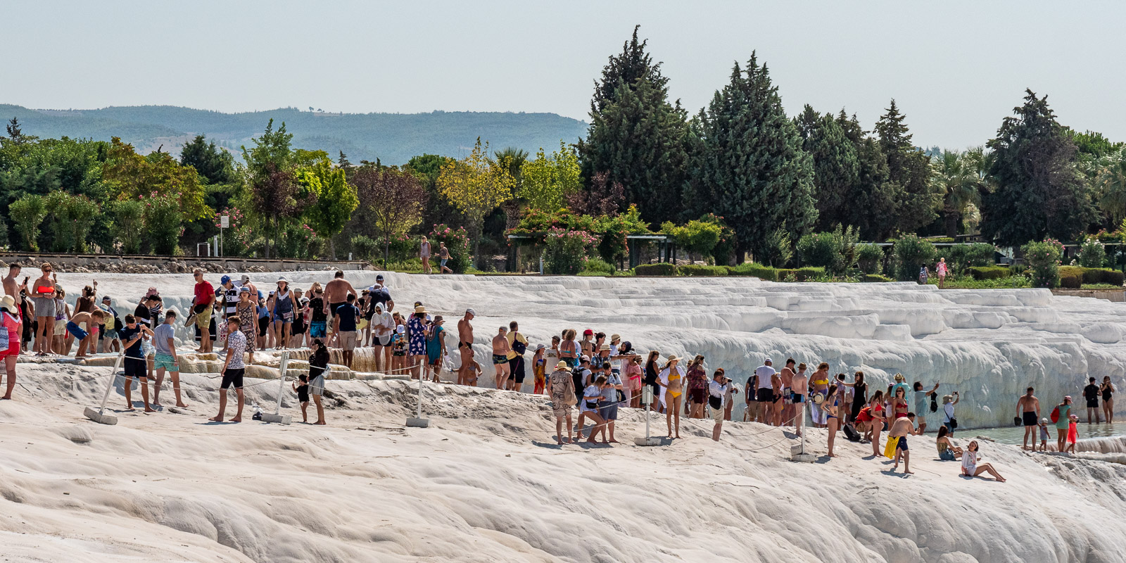
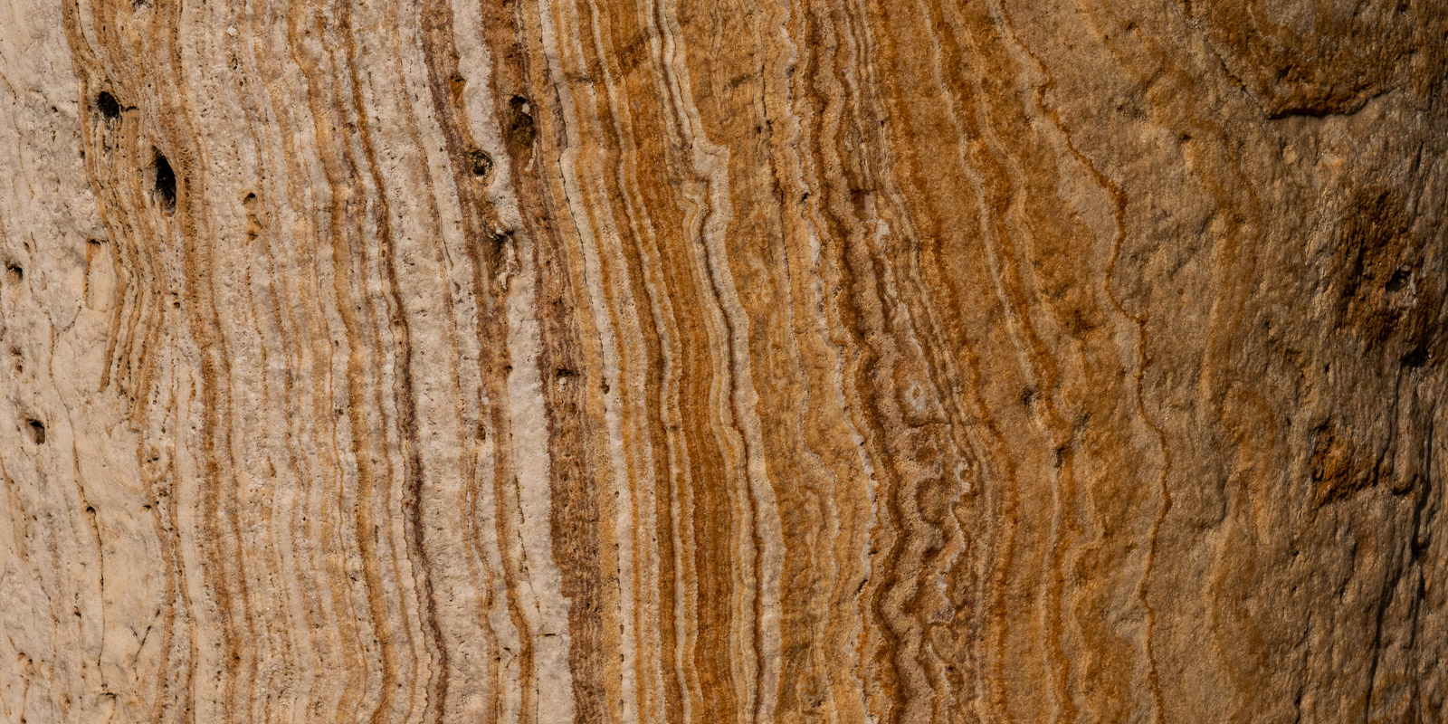
The sinter terraces – a highly praised tourist trap?
The sinter terraces are disappointing. We already knew that the experience of nature is “desecrated” by the many tourists. It was news to us that most of the sinter cups are bone dry because the many hotels in the area tap the spring water for their pools. The last time we were here nine years ago, the terraces looked very different. Disappointing! This is obviously all about profit. We therefore decide not to stay any longer and to continue our journey the next morning.

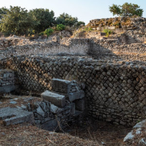
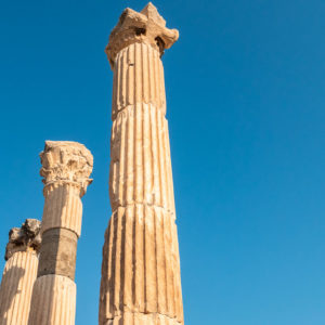
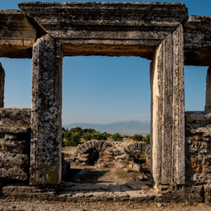
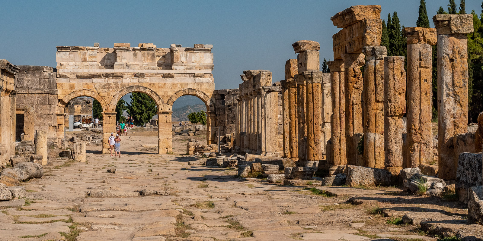
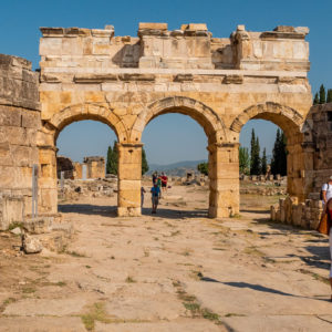
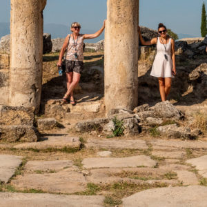
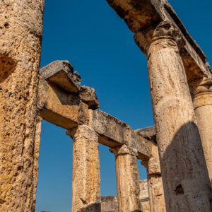
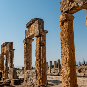
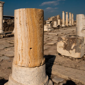
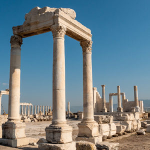
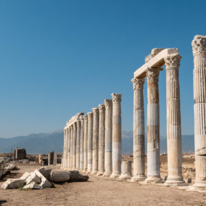
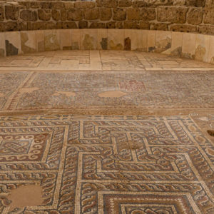
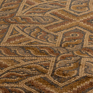
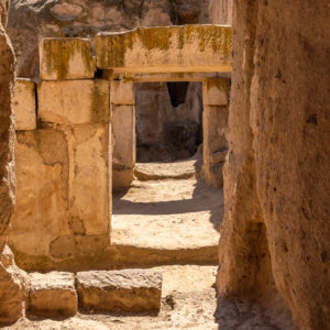
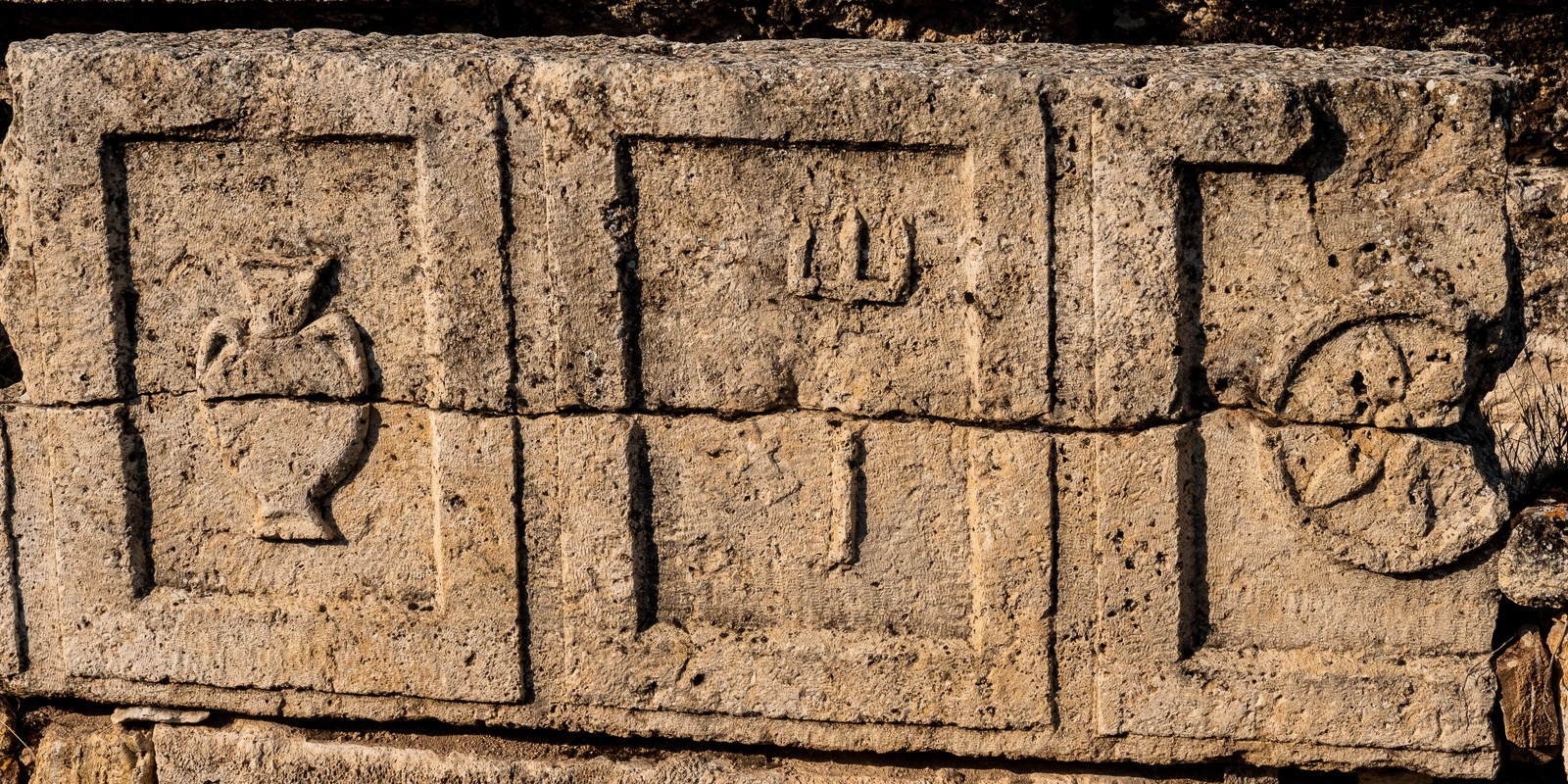
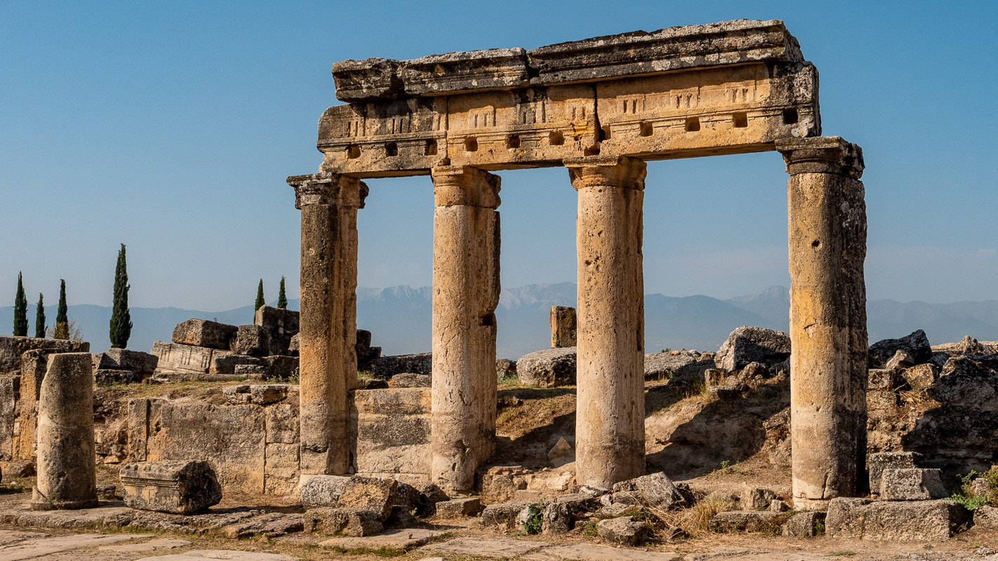
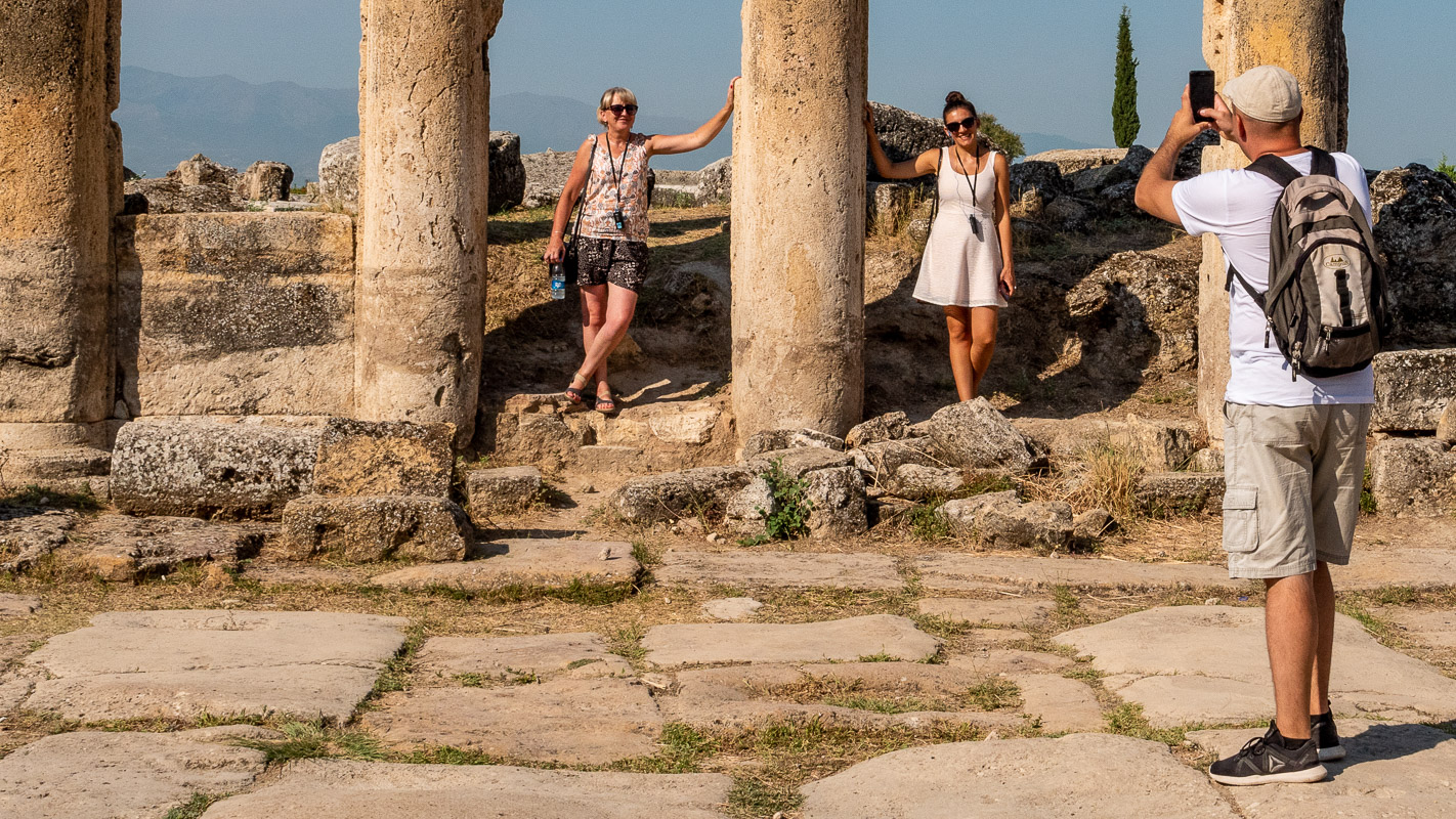
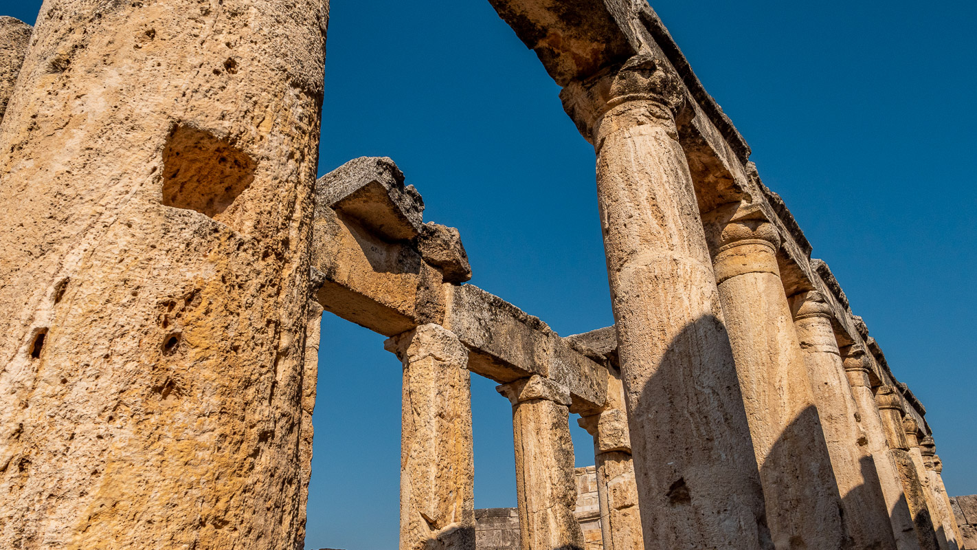
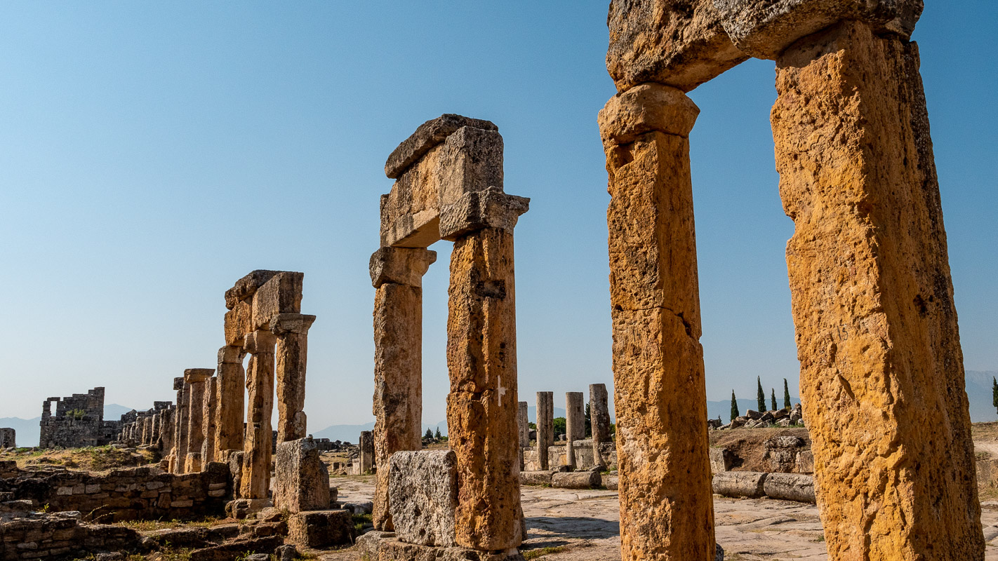
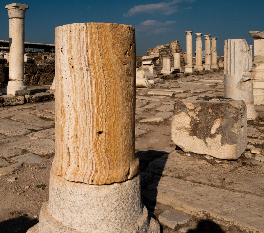
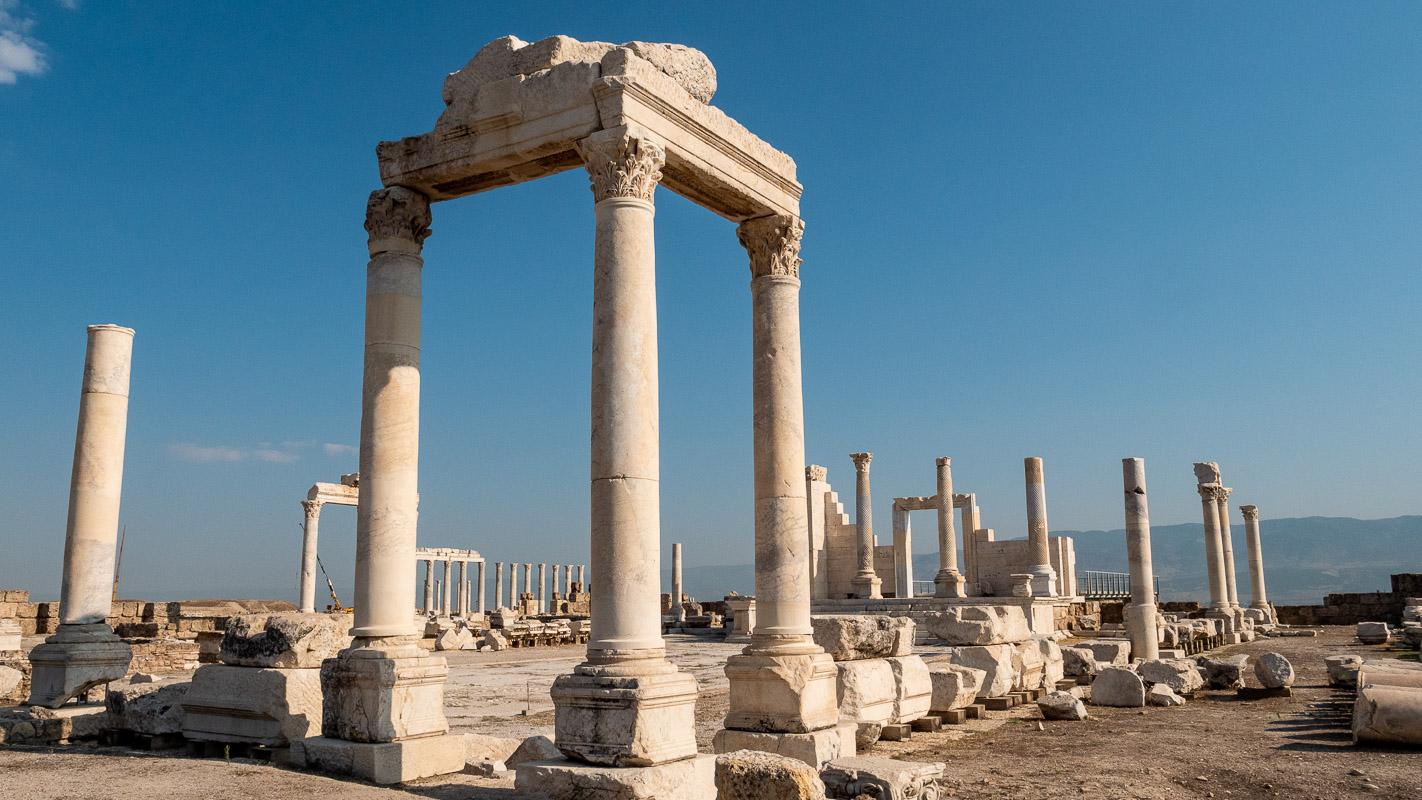
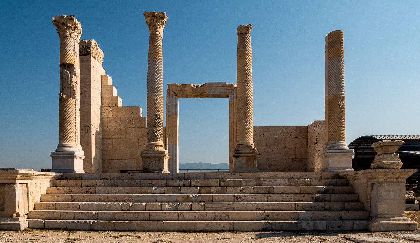
Laodicea
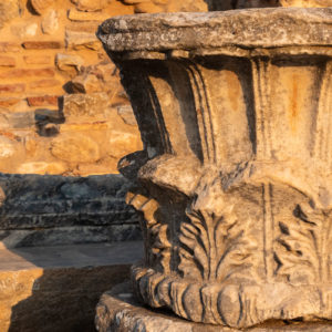
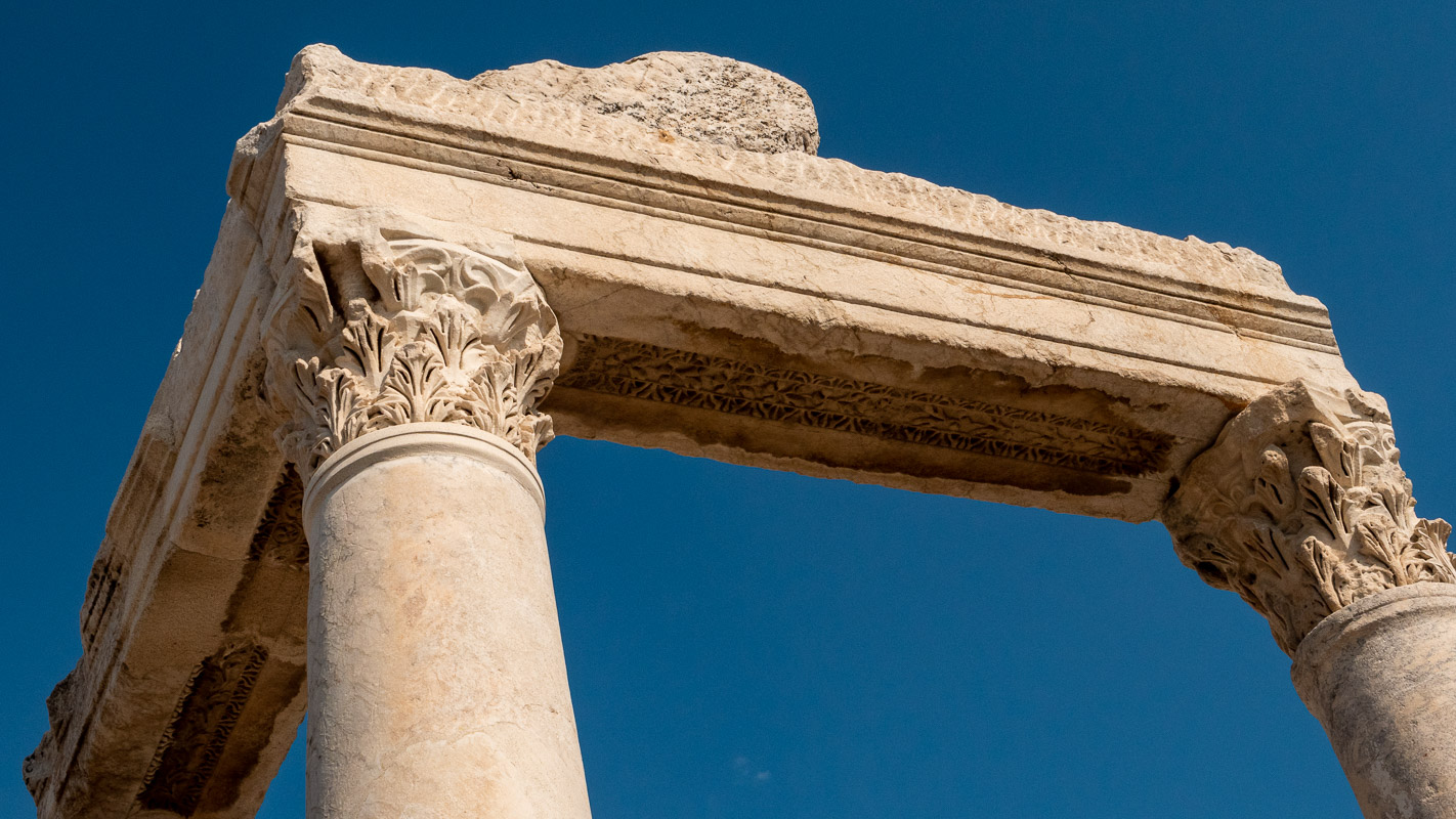
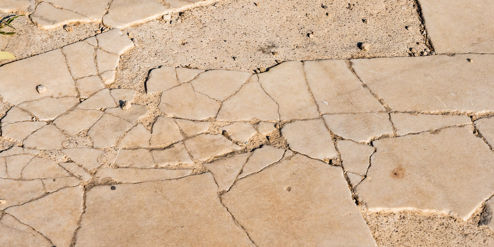
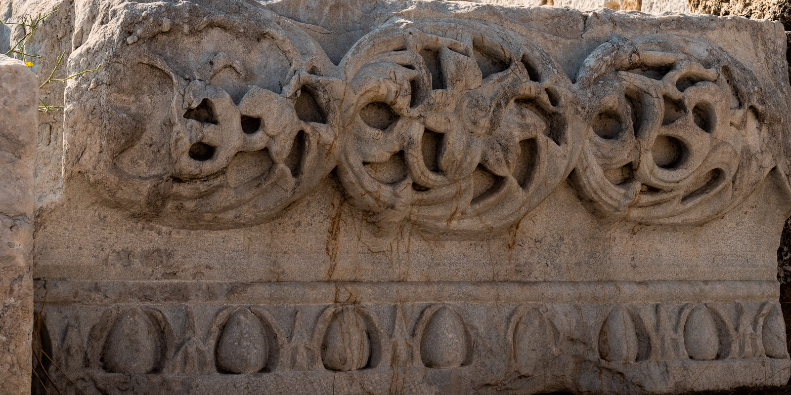
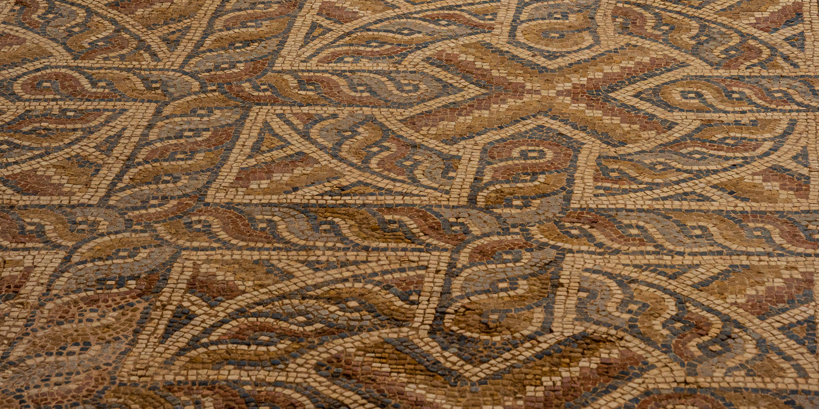
Laodicea corresponds to the biblical Laodicea – we take the excavation site with us as we drive away from Pamukkale. Hardly any visitors, we are almost alone. But that’s not the only reason we are enthusiastic. Over the past nine years, many columns have been re-erected and what is perhaps the oldest church in the world, built around 320 AD, has been made accessible again. Reconstruction work is still in full swing, so it will certainly be worth a visit again in a few years’ time.
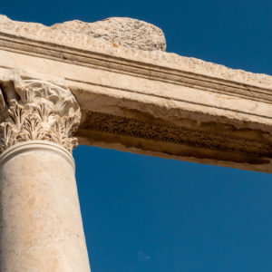
We start our visit through the Syrian Street with its beautiful columns, which proclaim the wealth of the former 5 km2 city.
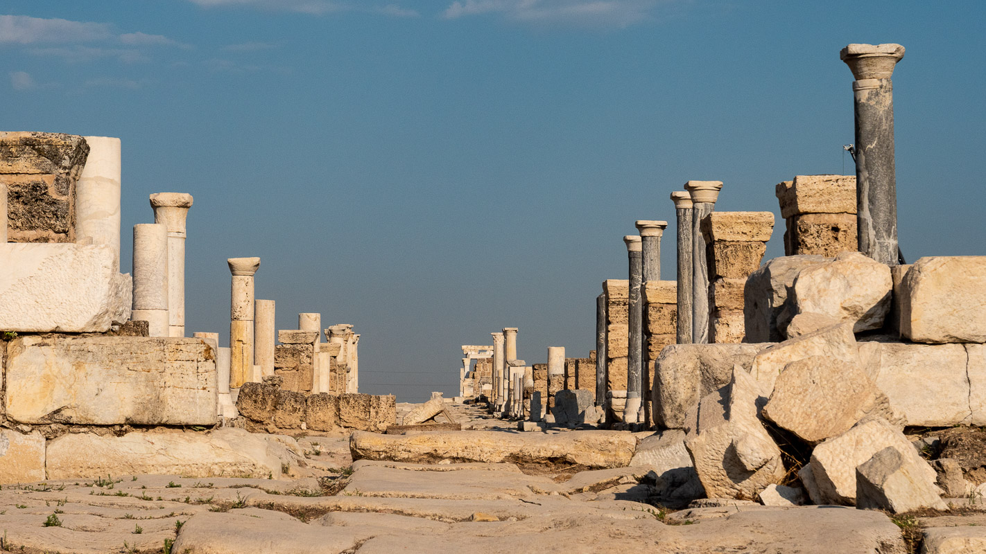
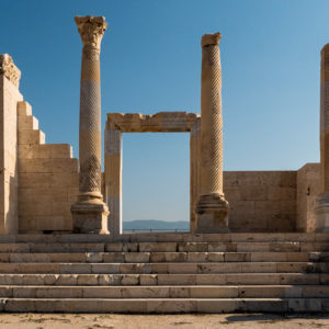

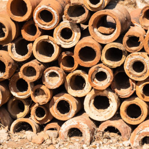
The Laodicea church also shows how advanced urban planning was at the time. The city had a central fresh water management system and – like Ephesus – a sewage system. The water supply through the clay pipes was also uncovered. Surely this contradicts the Neanderthal theory that we are the most highly developed civilization?
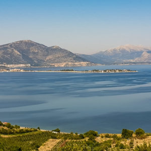
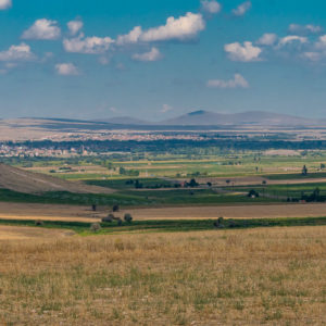
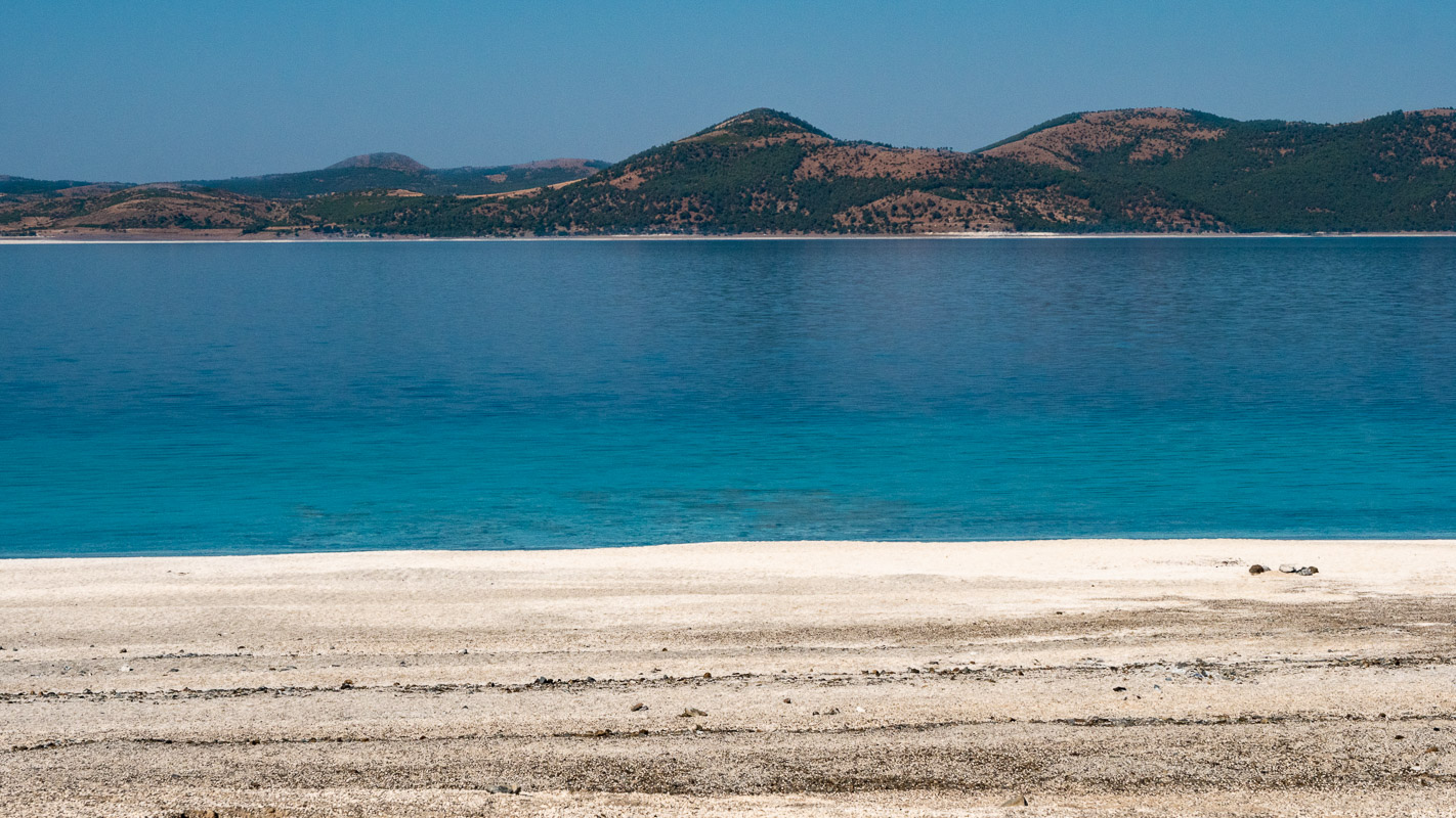
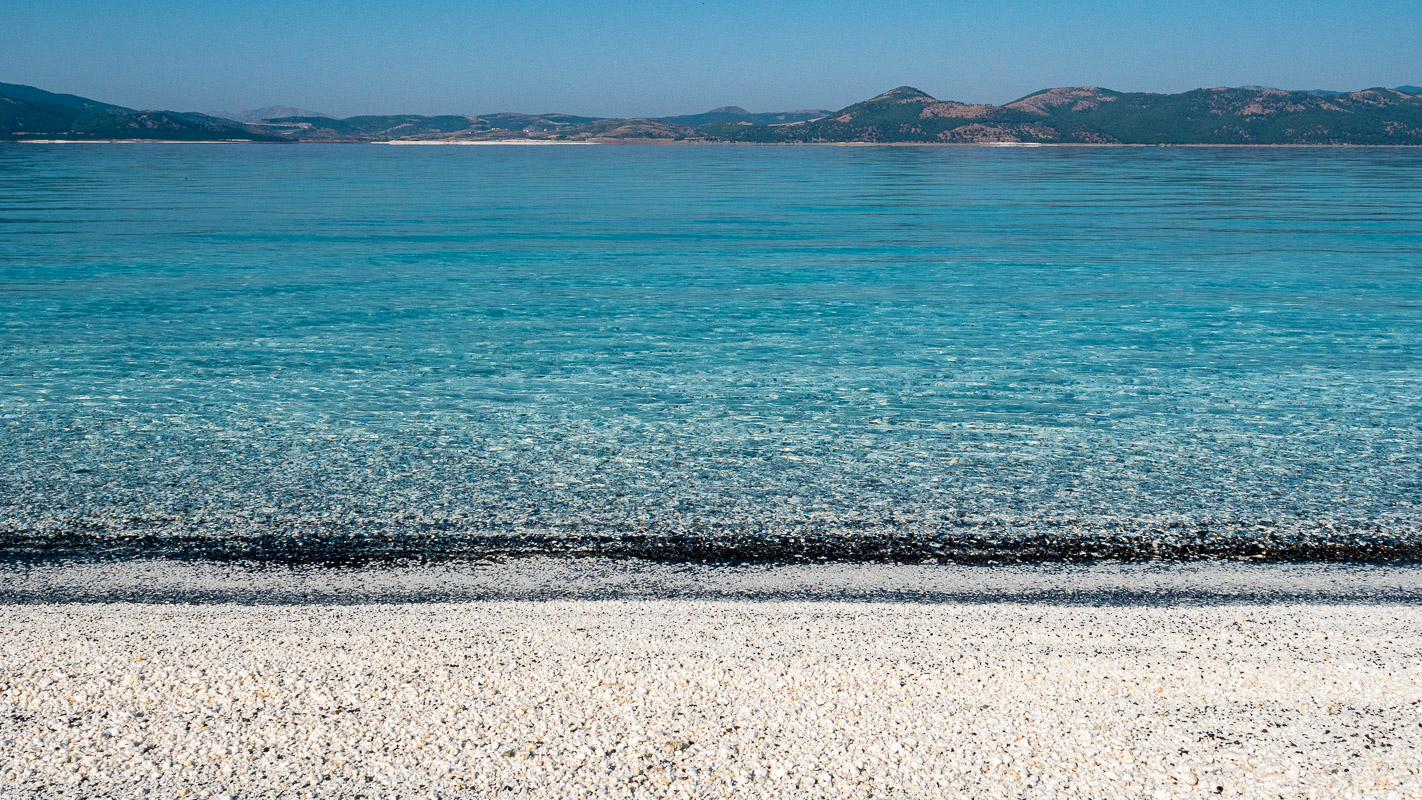
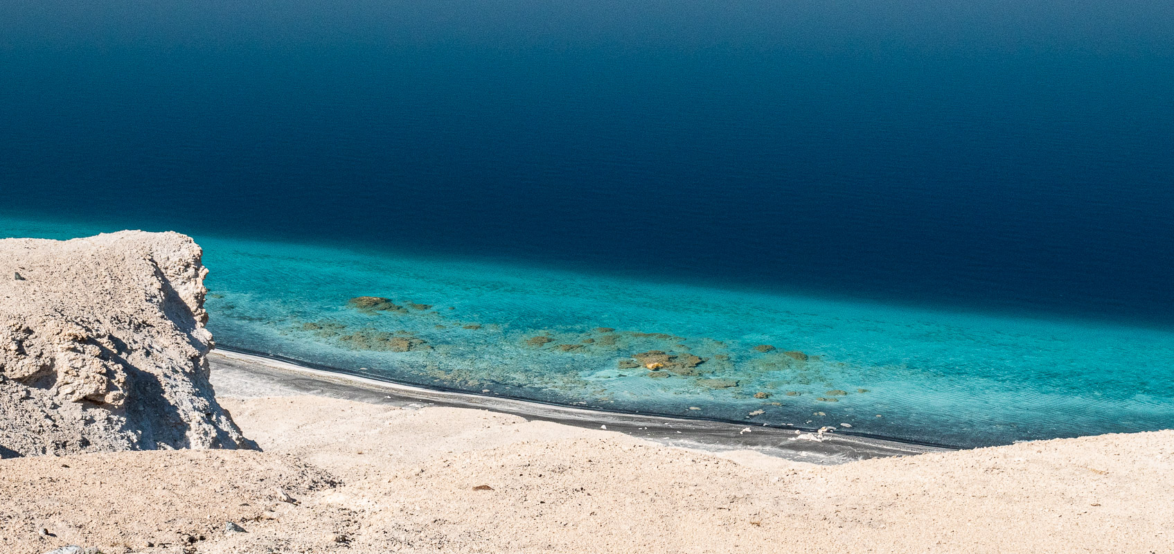
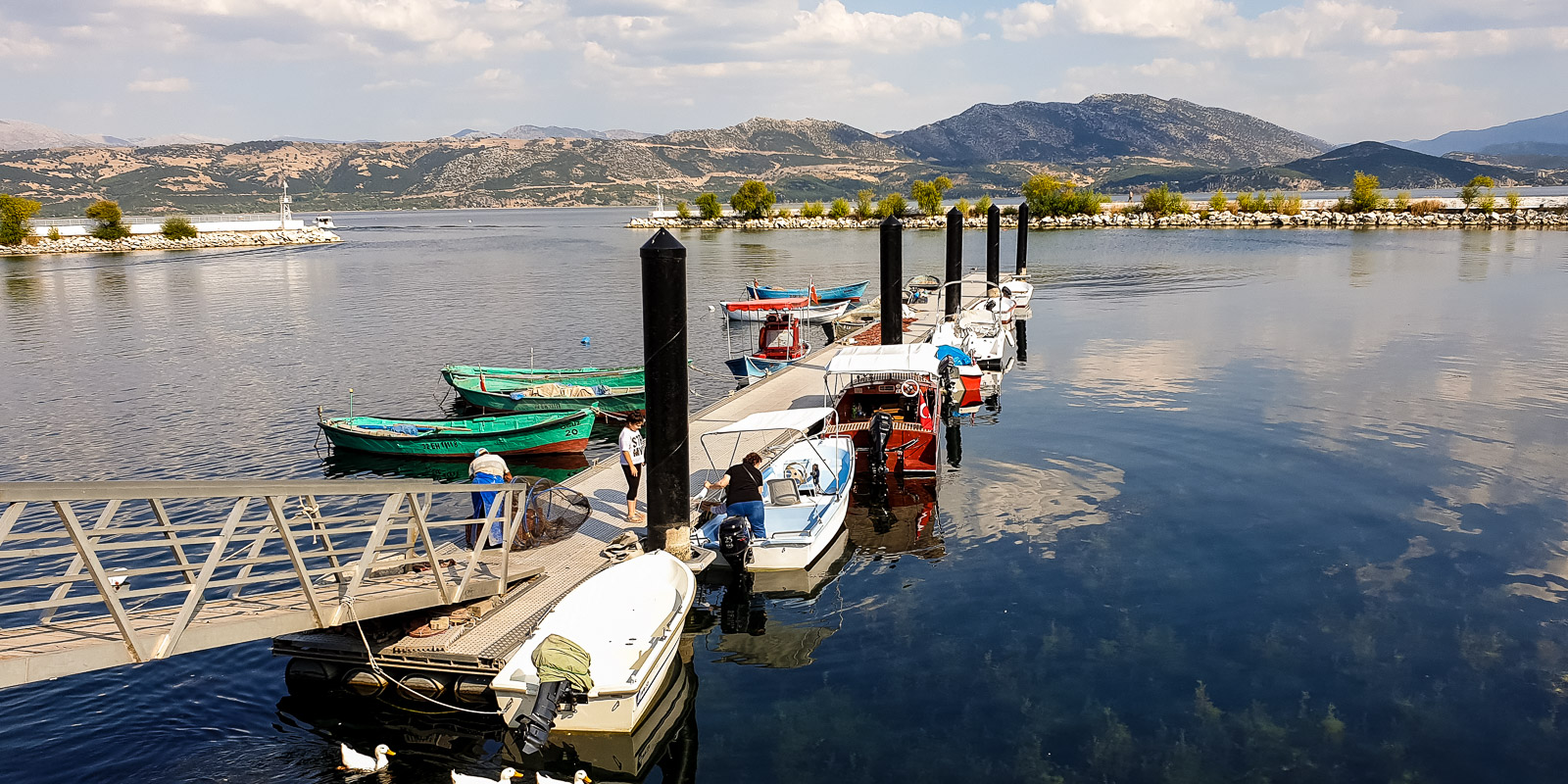
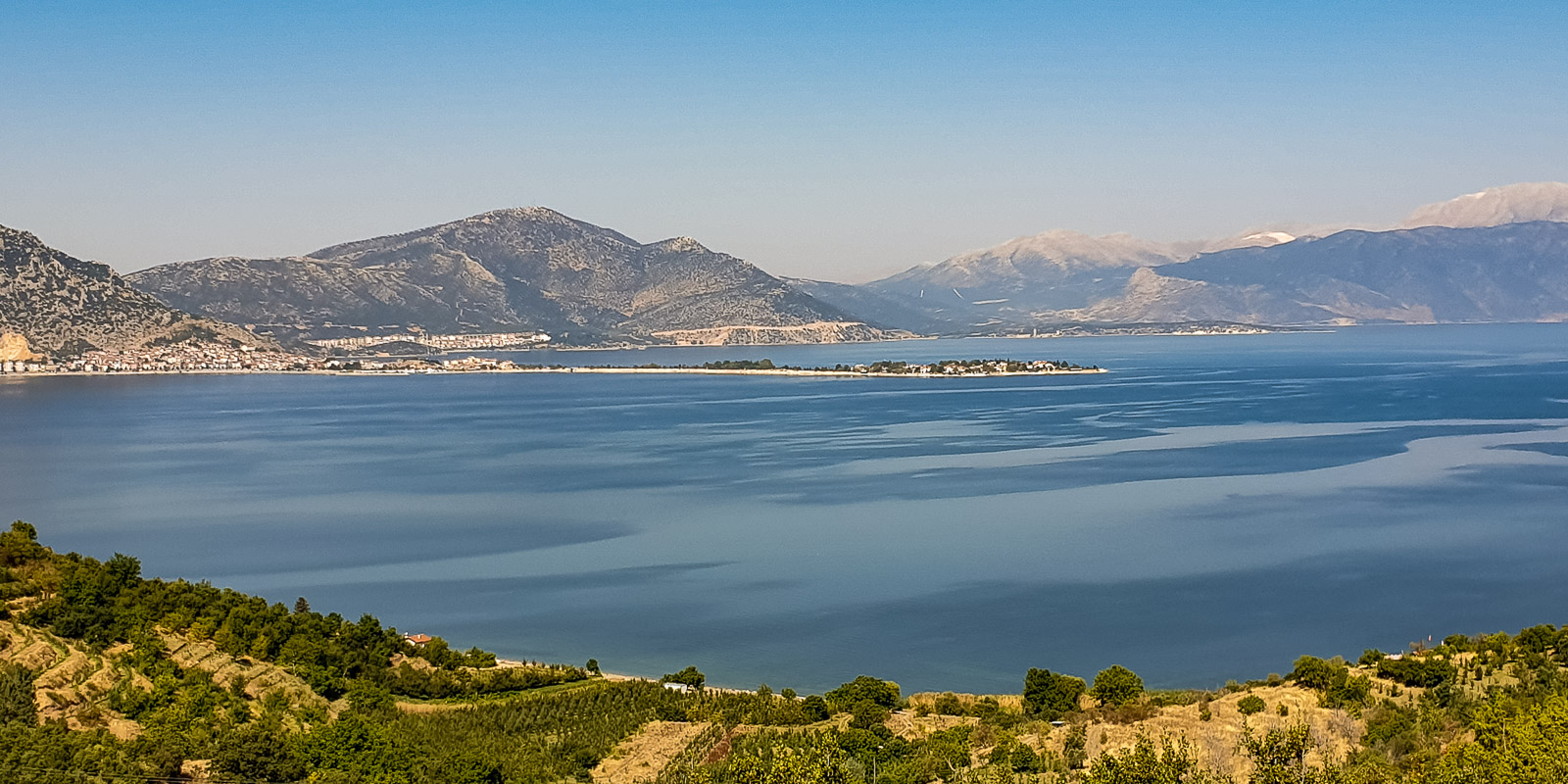
Lake District
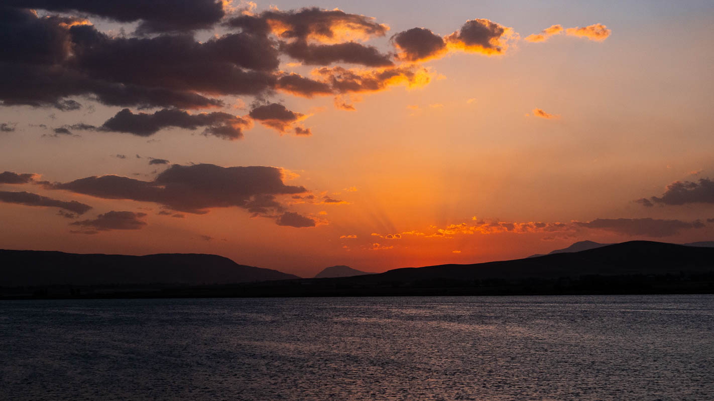
Salda, Yarisli and Burdur Gölü
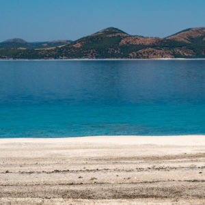
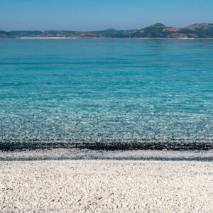
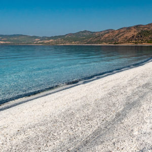
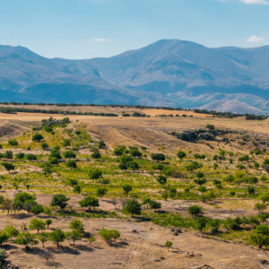
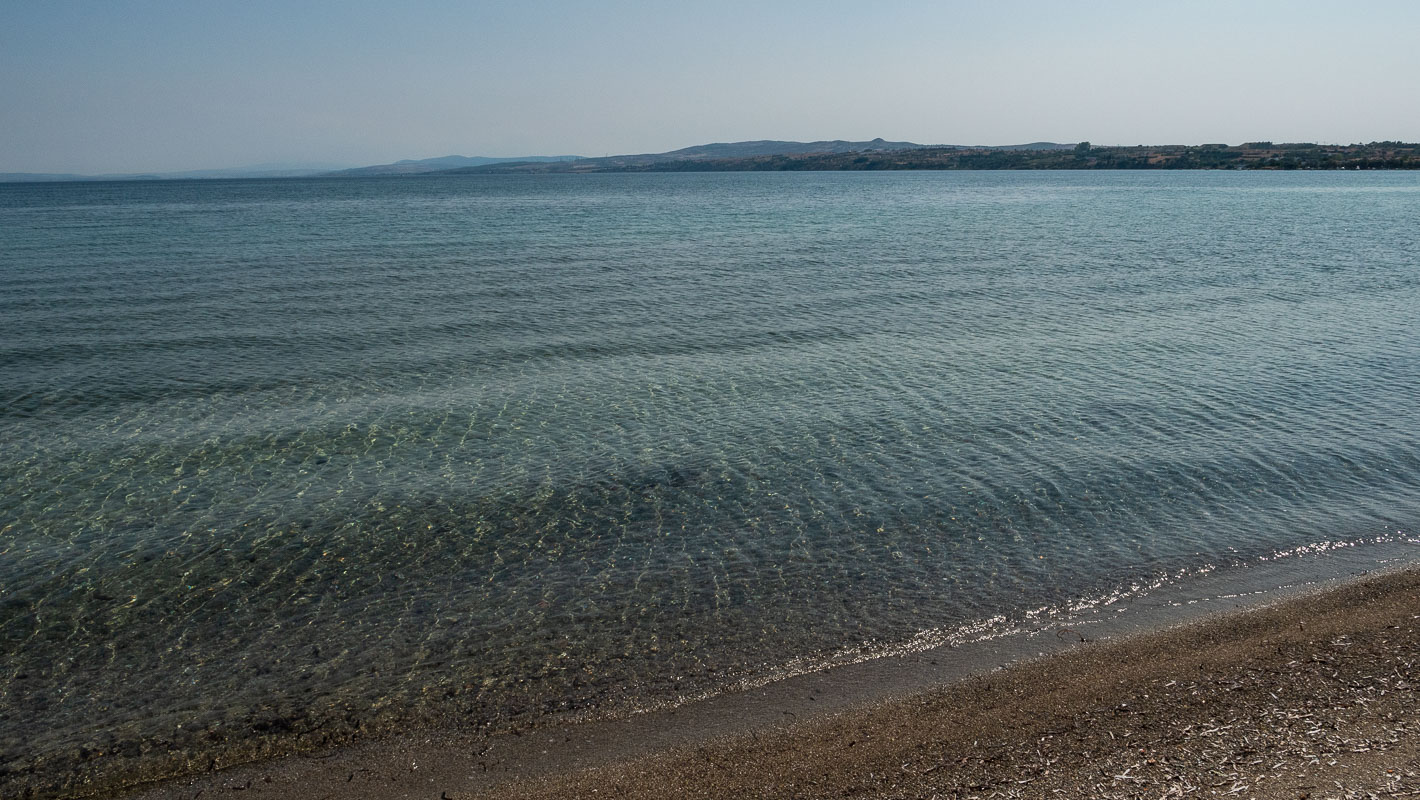
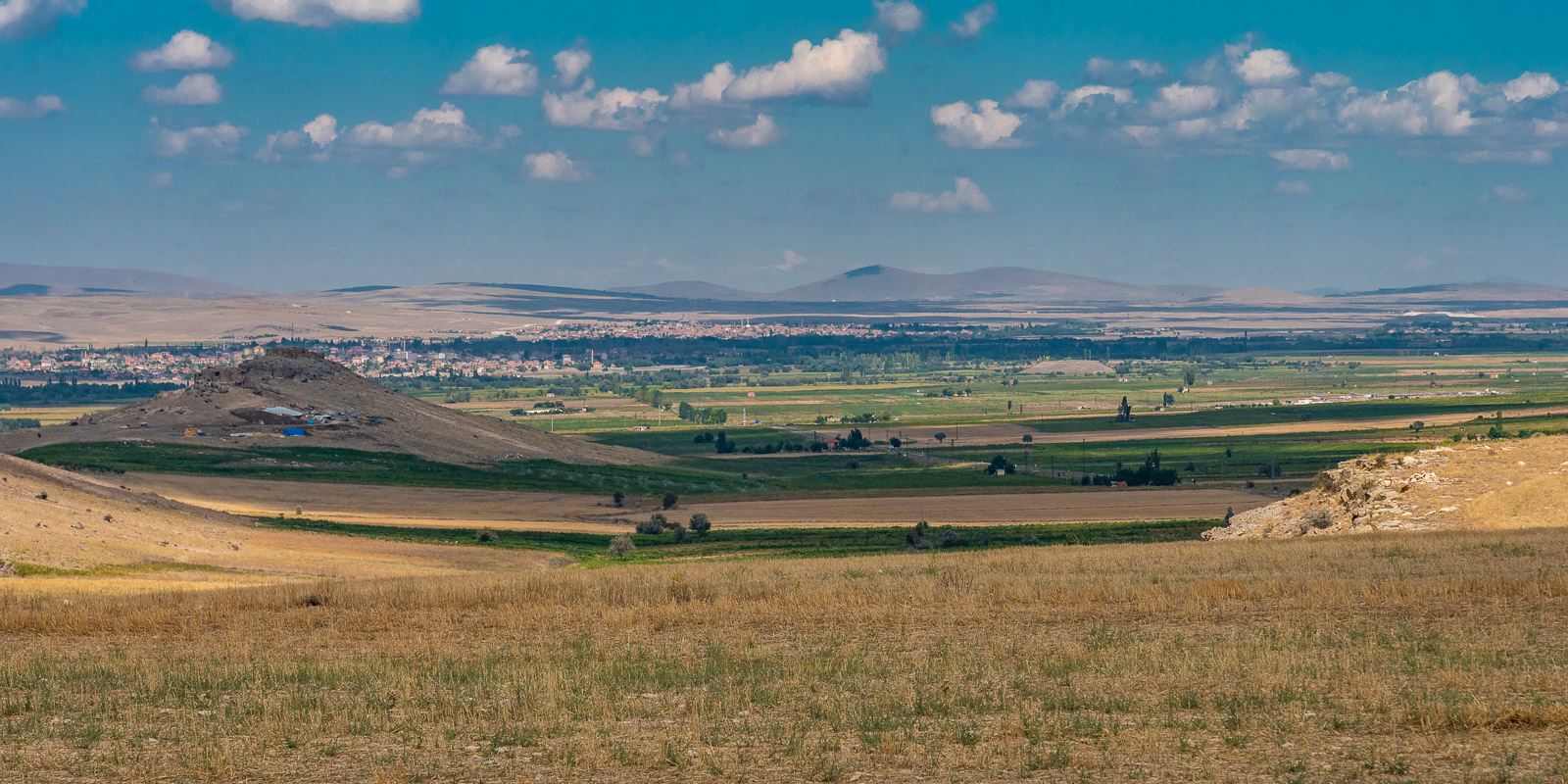
When planning this part of the trip, I became aware of the lakes between Denizli in the west and Konya in the east. I never knew that Turkey had so many lakes. So that’s where we want to go. Each of the lakes has its own color and ambiance.
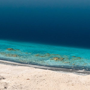
Salda Gölü, a crater lake near the village of Salda, impresses with its deep blue and turquoise color. It is not surprising that the main beach at Salda is called “Maldives Beach”.

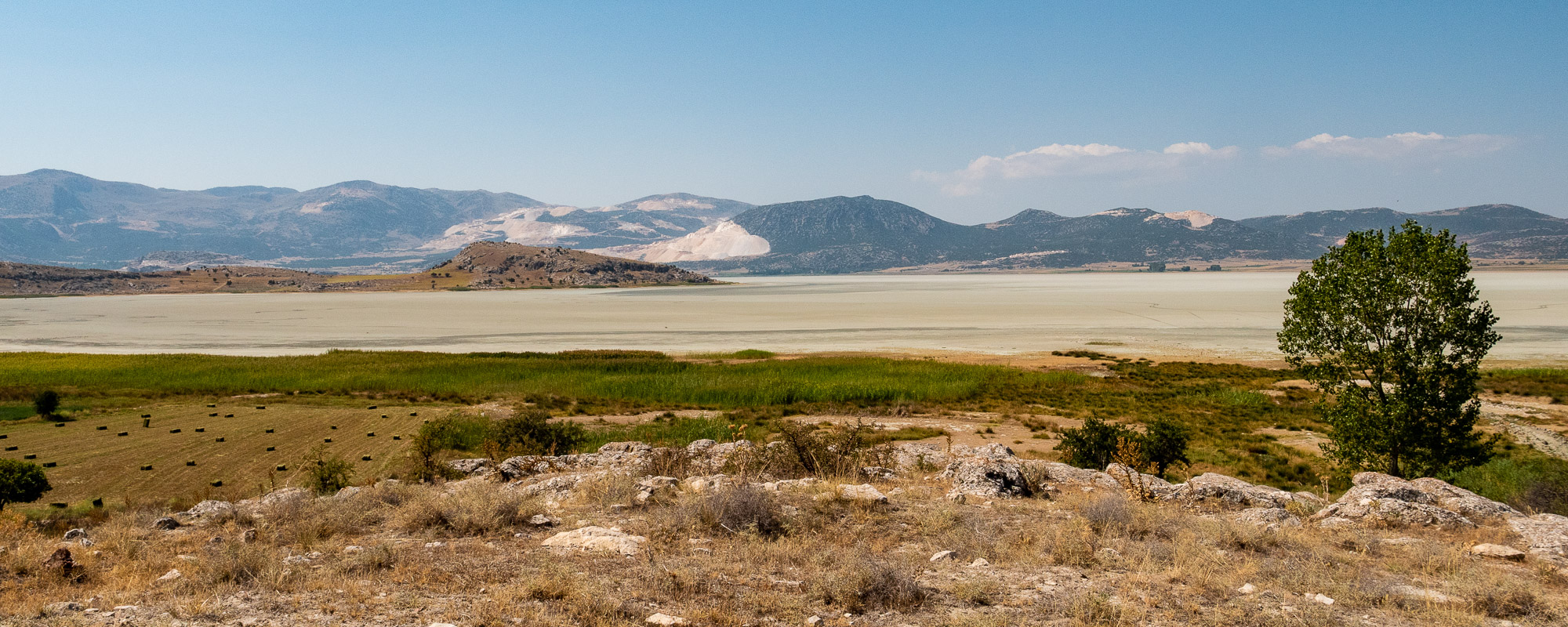
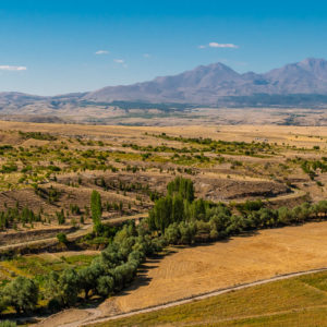
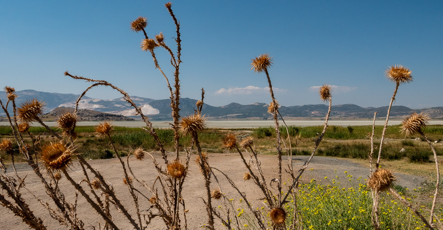
The Yarisli Gölü is almost dried out towards the end of the summer and presents itself in pastel colors. There are said to be flamingos here in the winter months. In any case, after the village of Yarisli you can drive to an observation post on the lake. The scars are carved into the mountains all around. The marble quarries glow in bright white.
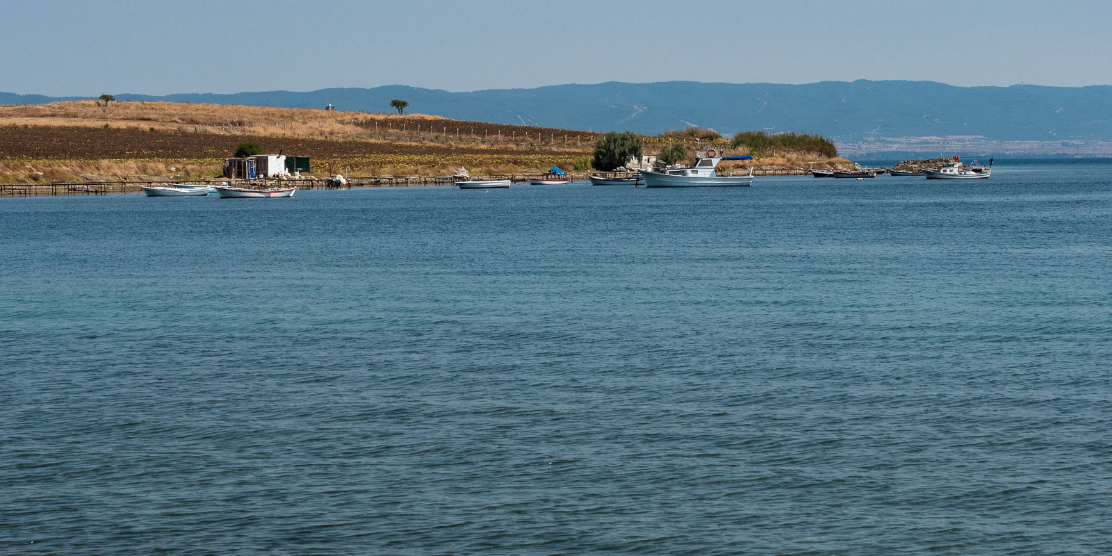
A little later we stop for lunch at Burdur Gölü, which is also popular with ornithologists. But beware, the ground along the lake is not as stable as it looks.
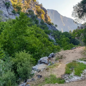
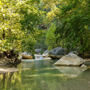
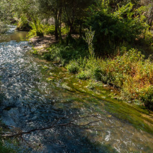
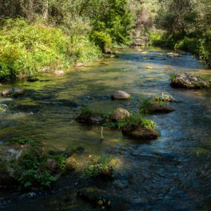
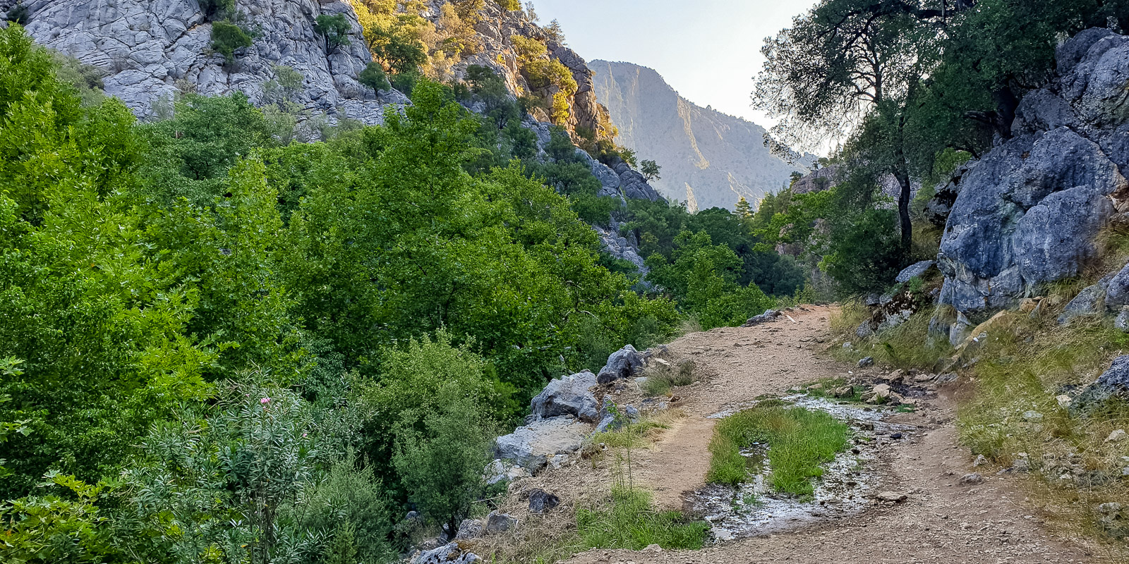
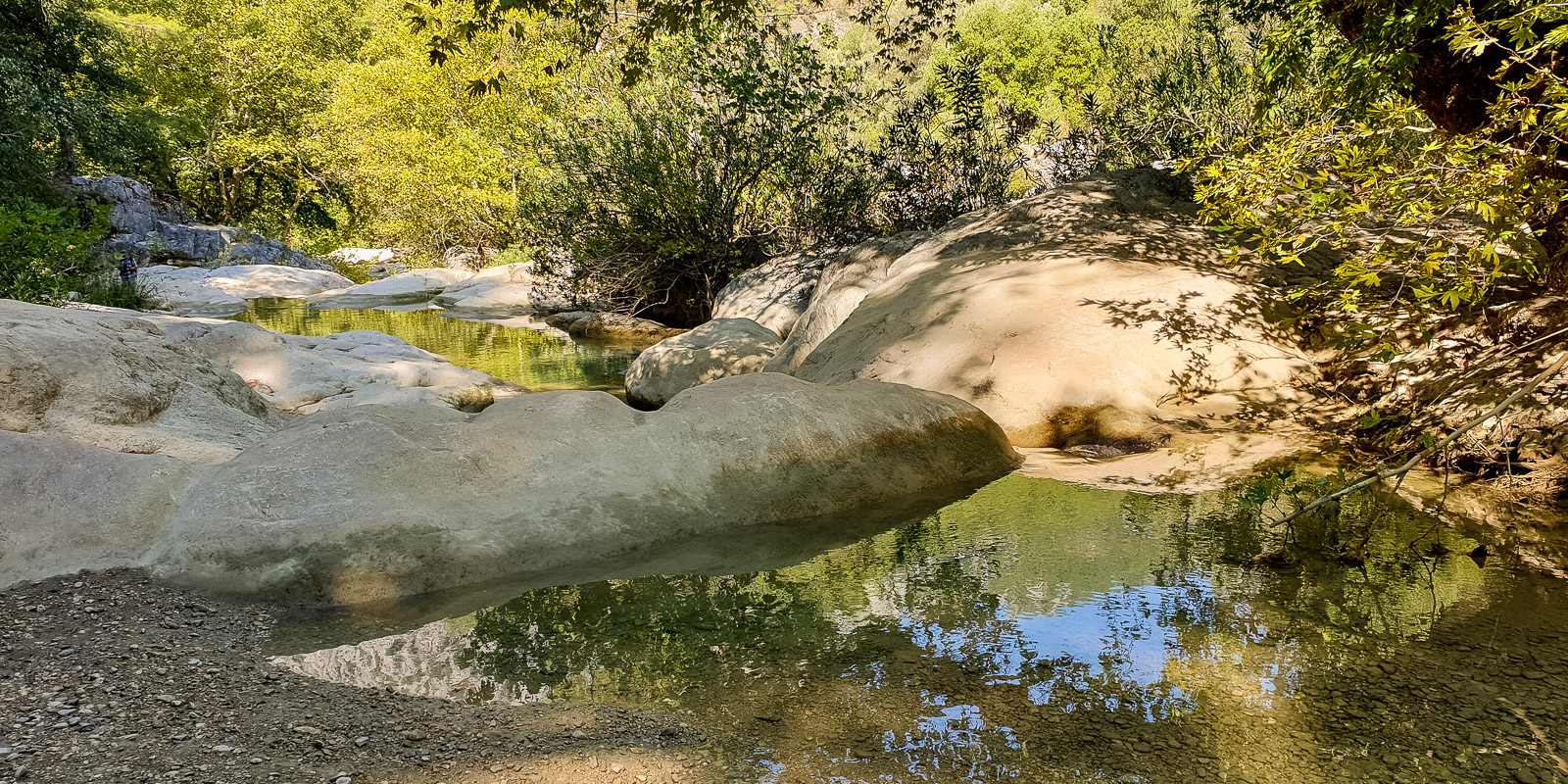
Yazili Kanion
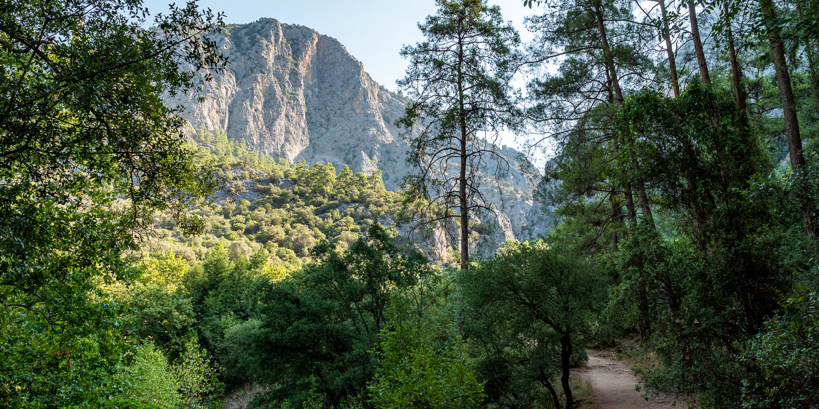
From Sald Gölü onwards, the journey continues through increasingly rural terrain and on road 15-25 between Taskapi and Yesilbaskoy over a pretty little mountain pass. The road 32-26 winds narrowly and steeply up into the mountains and back down into the huge rocky basin of the Yazili Kanion. Here in parking lot no. 2 we experience the most oppressive night of our trip so far at about 38° and no wind…
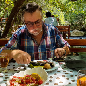
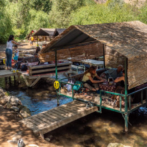
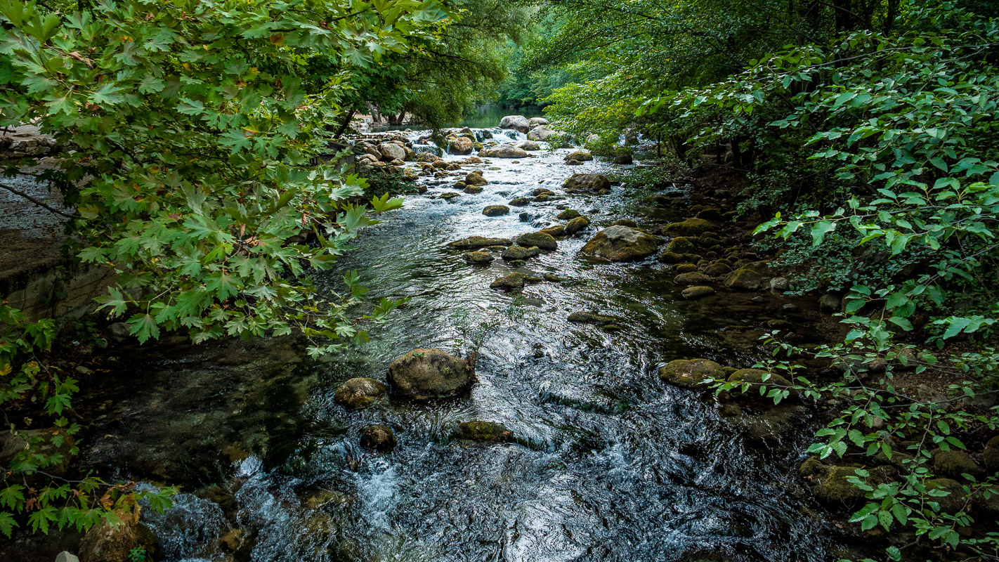
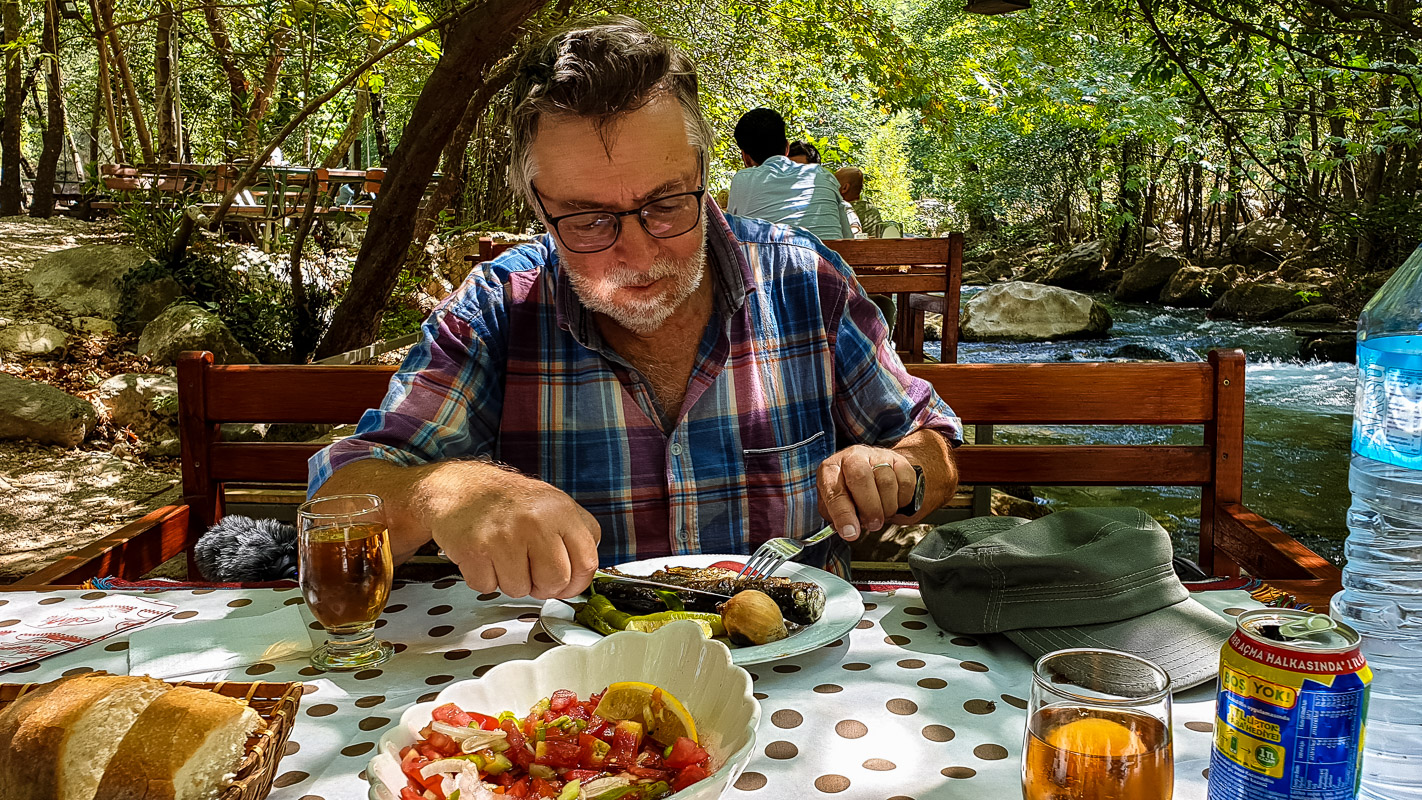
Nevertheless, we take our time early in the morning to hike into the gorge. At the beginning we are almost alone, later busloads of mostly Turkish tourists hike into the canyon. We enjoy the sound of the cool water and, at the end of the hike, treat ourselves to a wonderfully tasty grilled trout in the improvised open-air restaurant.
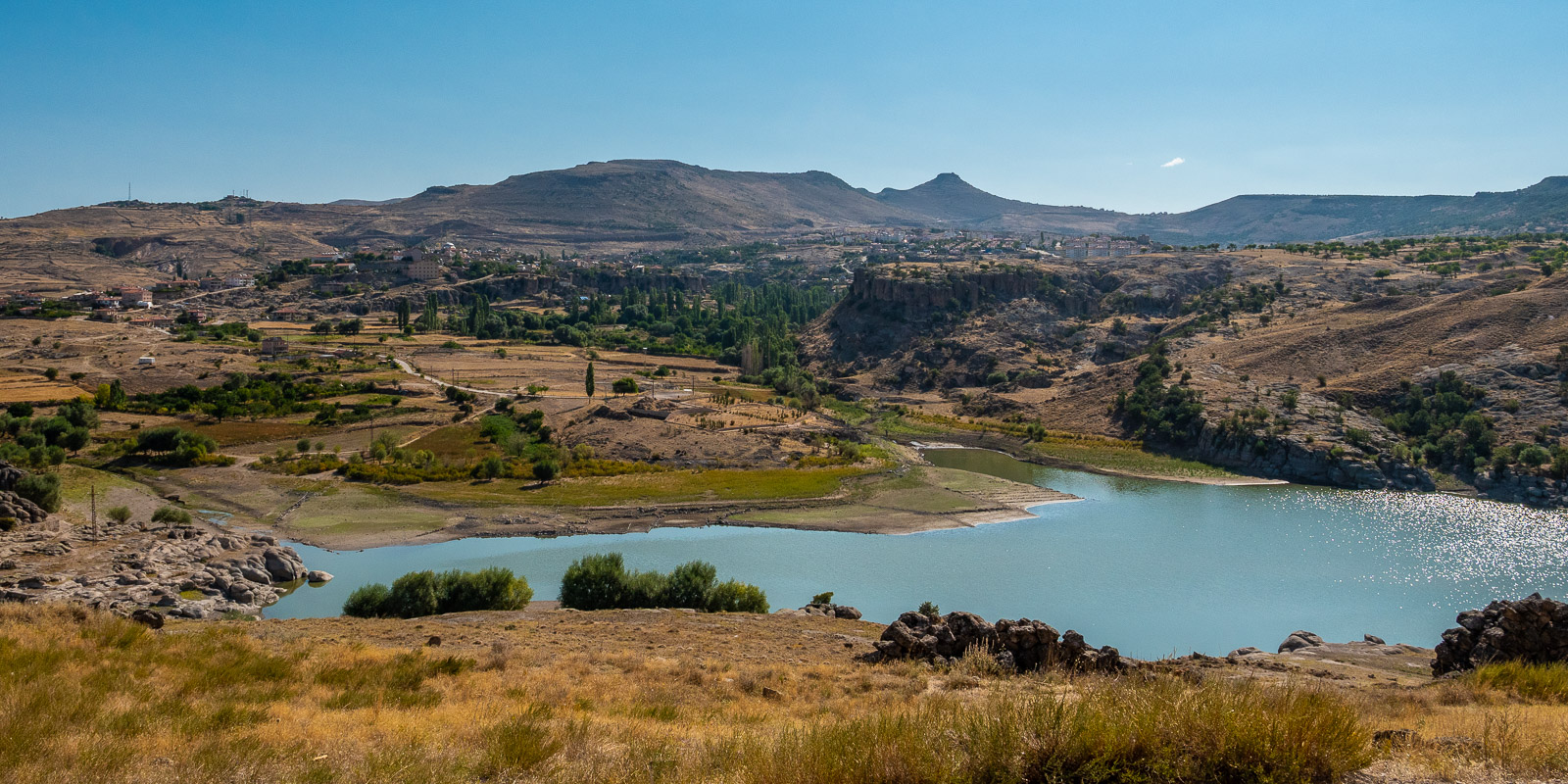
Egirdir and Beysehir Gölü
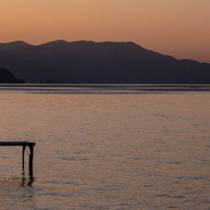
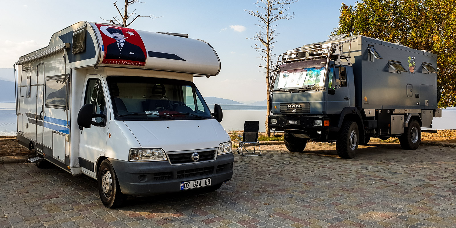
Behind the small town of Egirdir, on the way to the peninsula, we find a quiet parking lot where Turkish campers with their motorhomes can park for free. We join them and are warmly welcomed. We like it here so much that we abandon our plan to spend the night here twice.
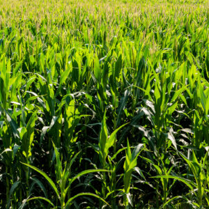
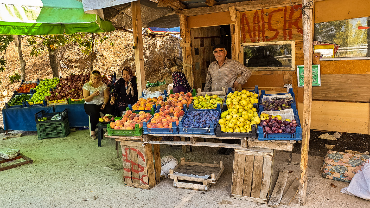
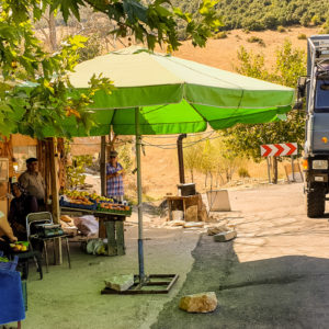
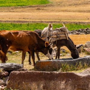
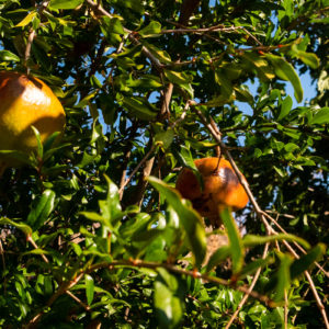
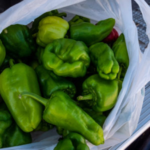
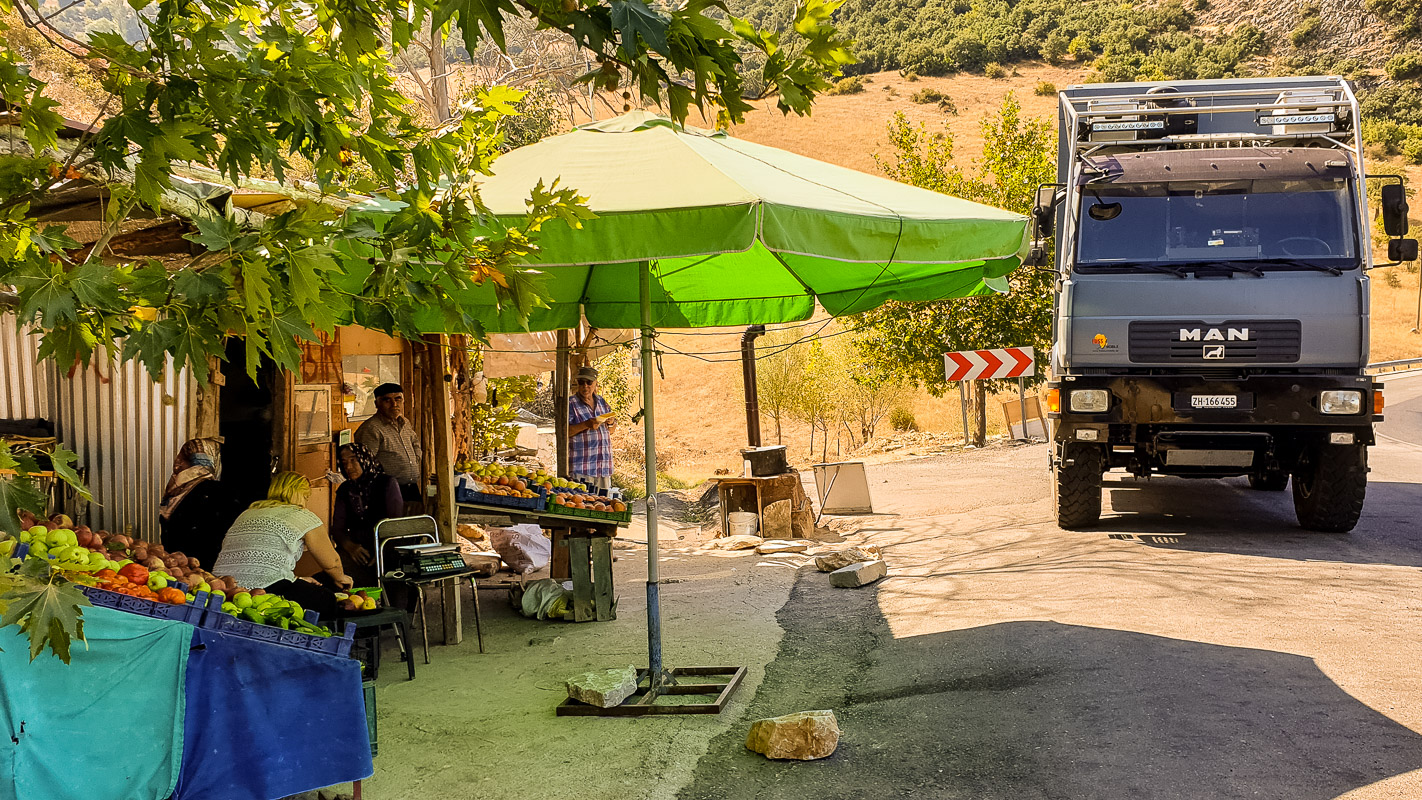
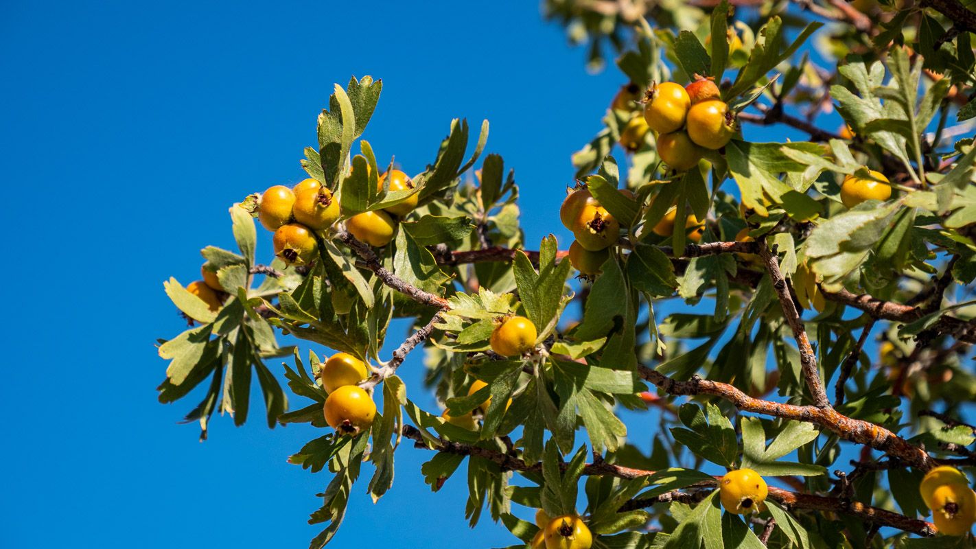
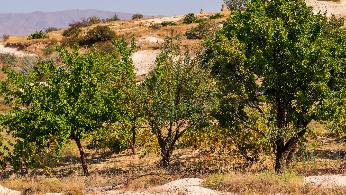
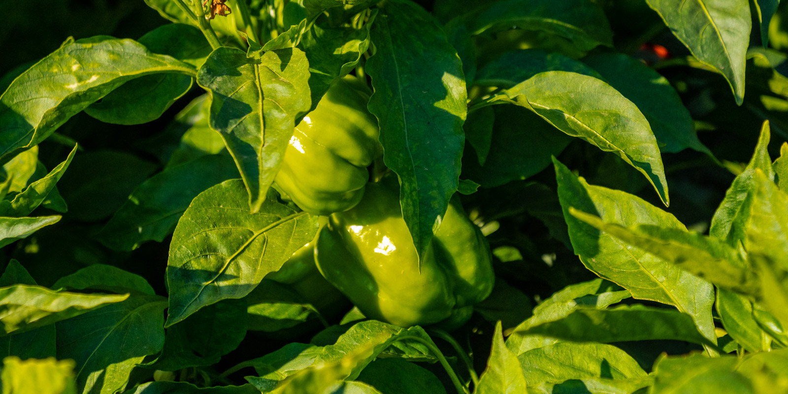
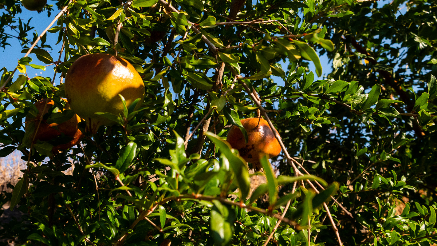
Between Egirdir and Beysehir Gölü, we stop at the roadside to pick up some fruit. Wonderful, the fresh ripe fruit and fresh vegetables everywhere. A friendly older couple also offers us boiled corn on the cob, which tastes great seasoned with salt.
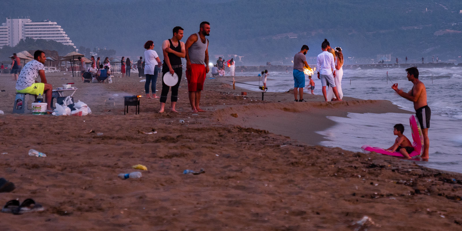
At Beysehir Gölü we spend a night on Karuburun beach. It’s a shame that this otherwise beautiful place is so cluttered. Nevertheless, some bridal couples don’t miss the opportunity to stage their wedding until late into the night.
Video
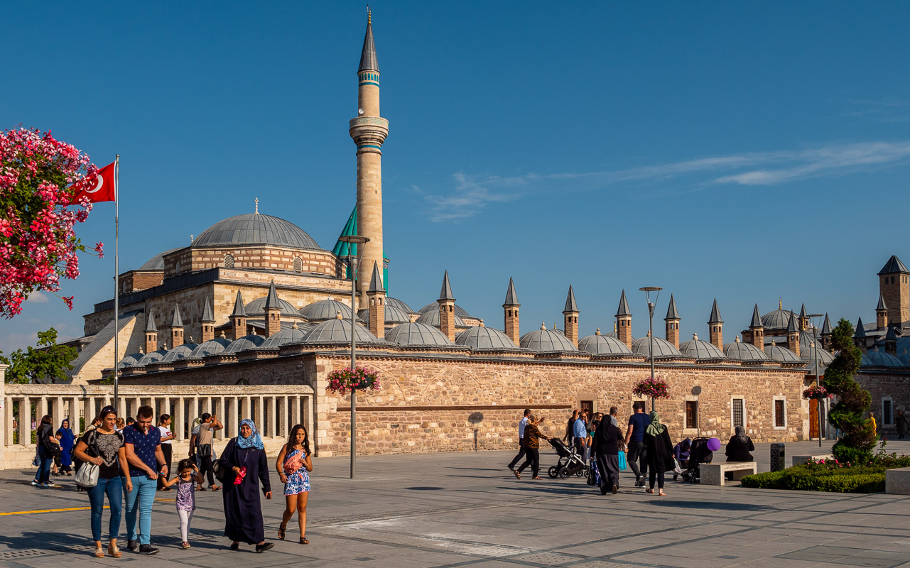
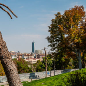
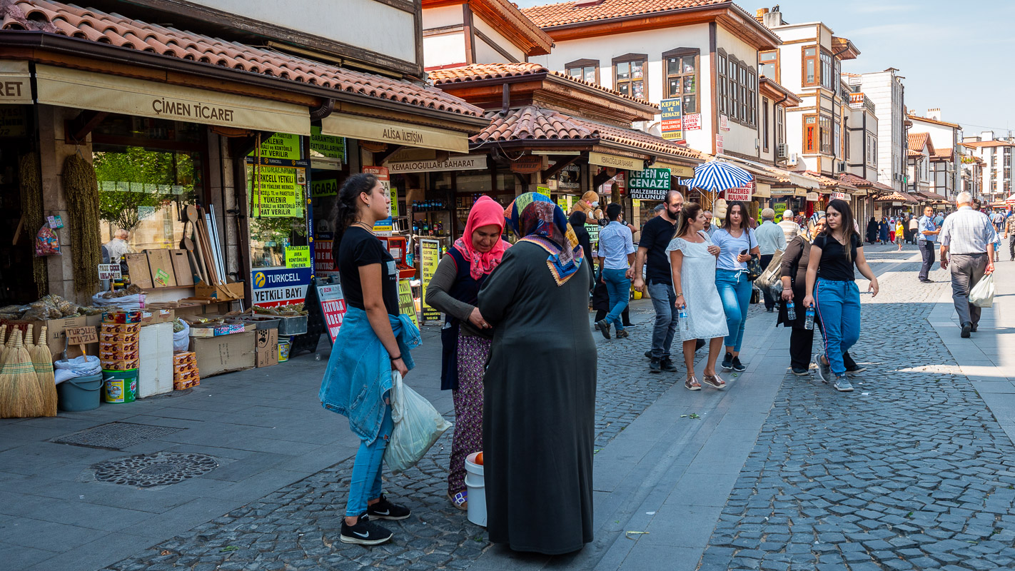
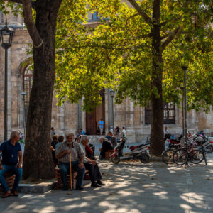
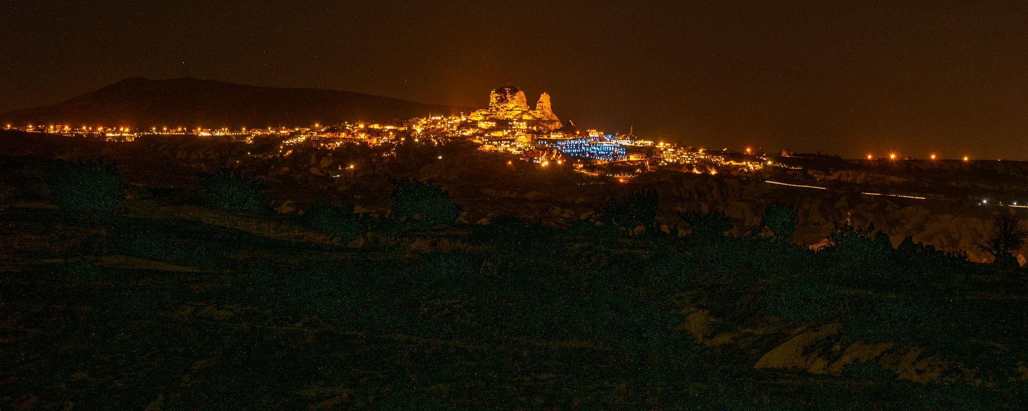
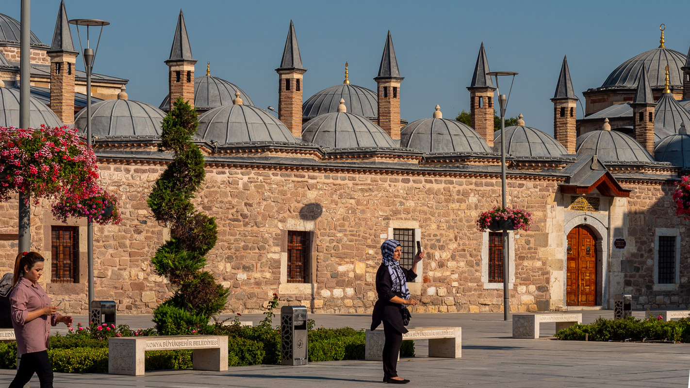
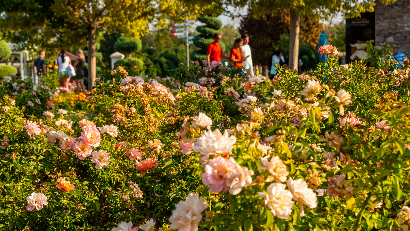
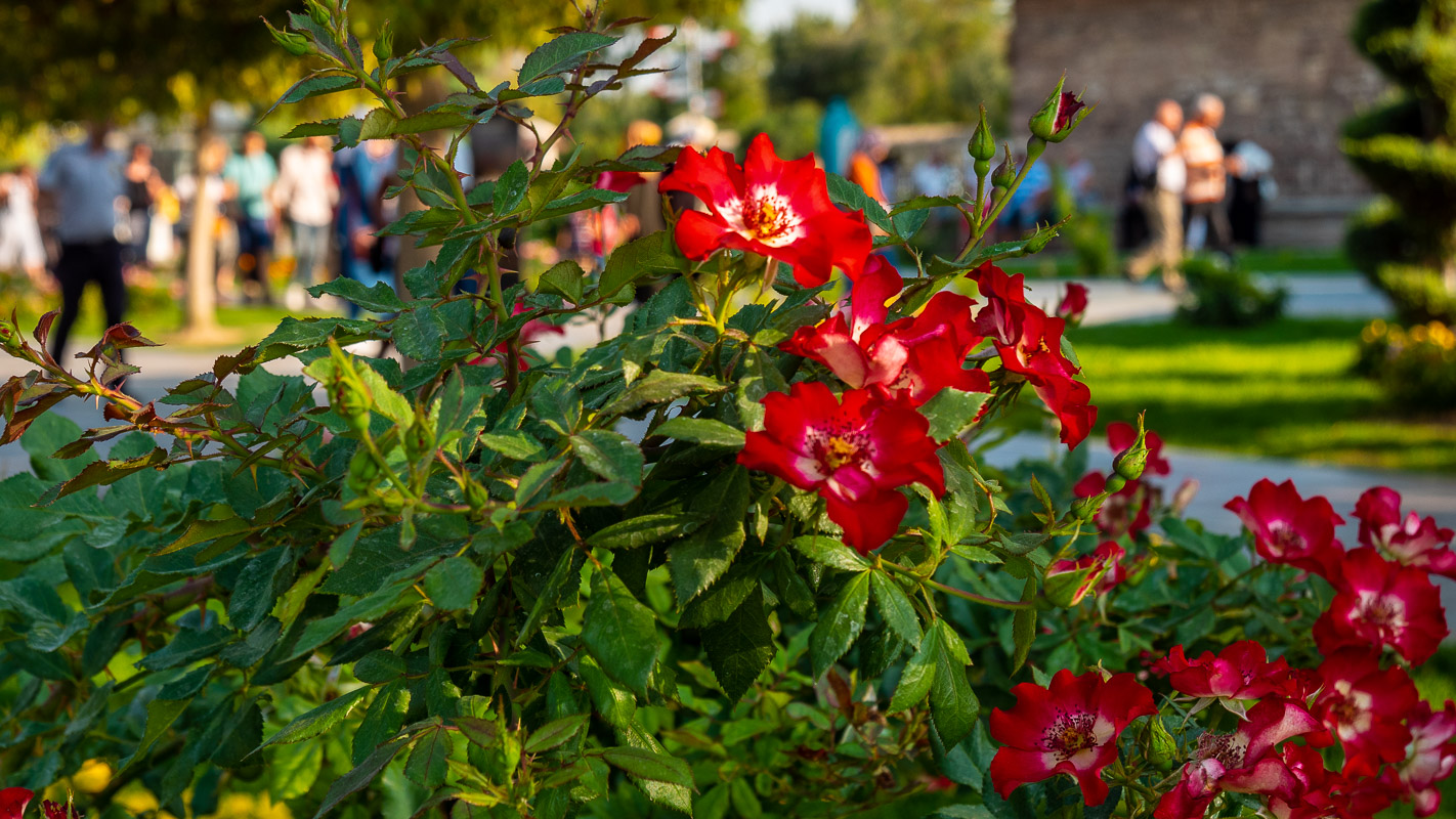
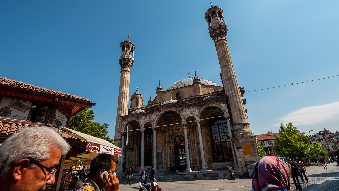
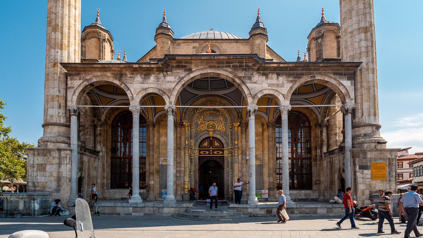
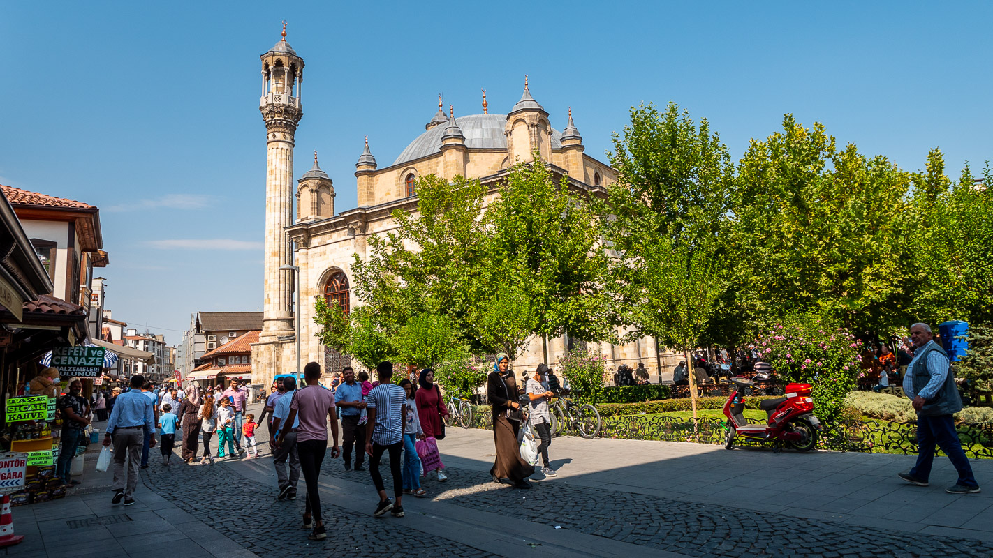
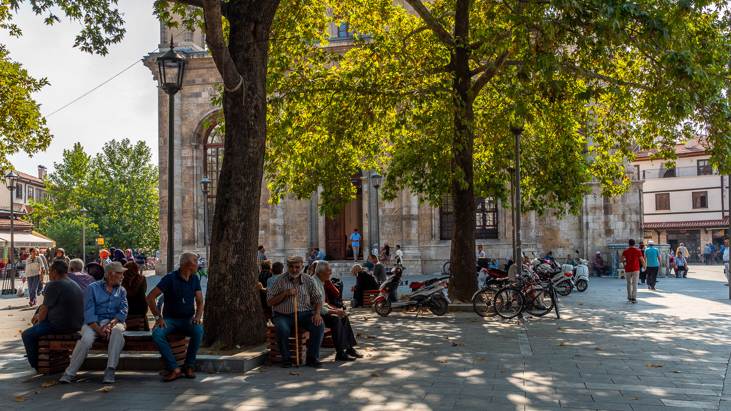
Konya
The conservative metropolis of Konya – the old Iconium – is regarded as the country’s guardian of morals, according to our “Müller Travel Guide”. In any case, it is rich in trade and industry, which is reflected in the excellent road system.
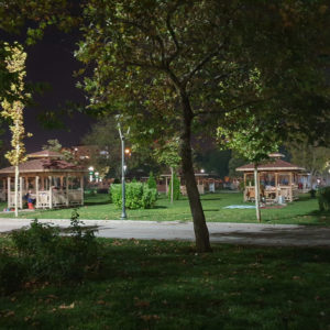
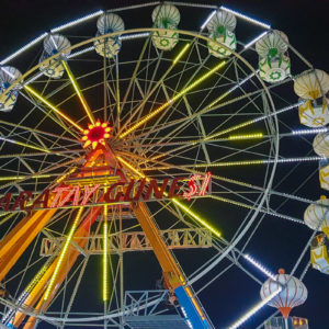
The city of Konya has set up a free motorhome parking space (Karatay Belediyesi Karavan Parki). Coordinates: 37.86947, 32.55037. Each pitch has water (chlorinated) and electricity. There are also clean toilets and showers. You can stay up to three nights. Unfortunately, the beautiful and well-kept pitch is located directly at a major road junction and is therefore quite noisy during the day and at night. Free registration takes place right at the entrance to the municipal amusement park (Karatay Belediyesi Sehir Parki) with pick-nick points and many carousels and rides.
You can also order a cab at the entrance to the park – you might even get a cay – and you can reach the city center within 10 to 15 minutes.
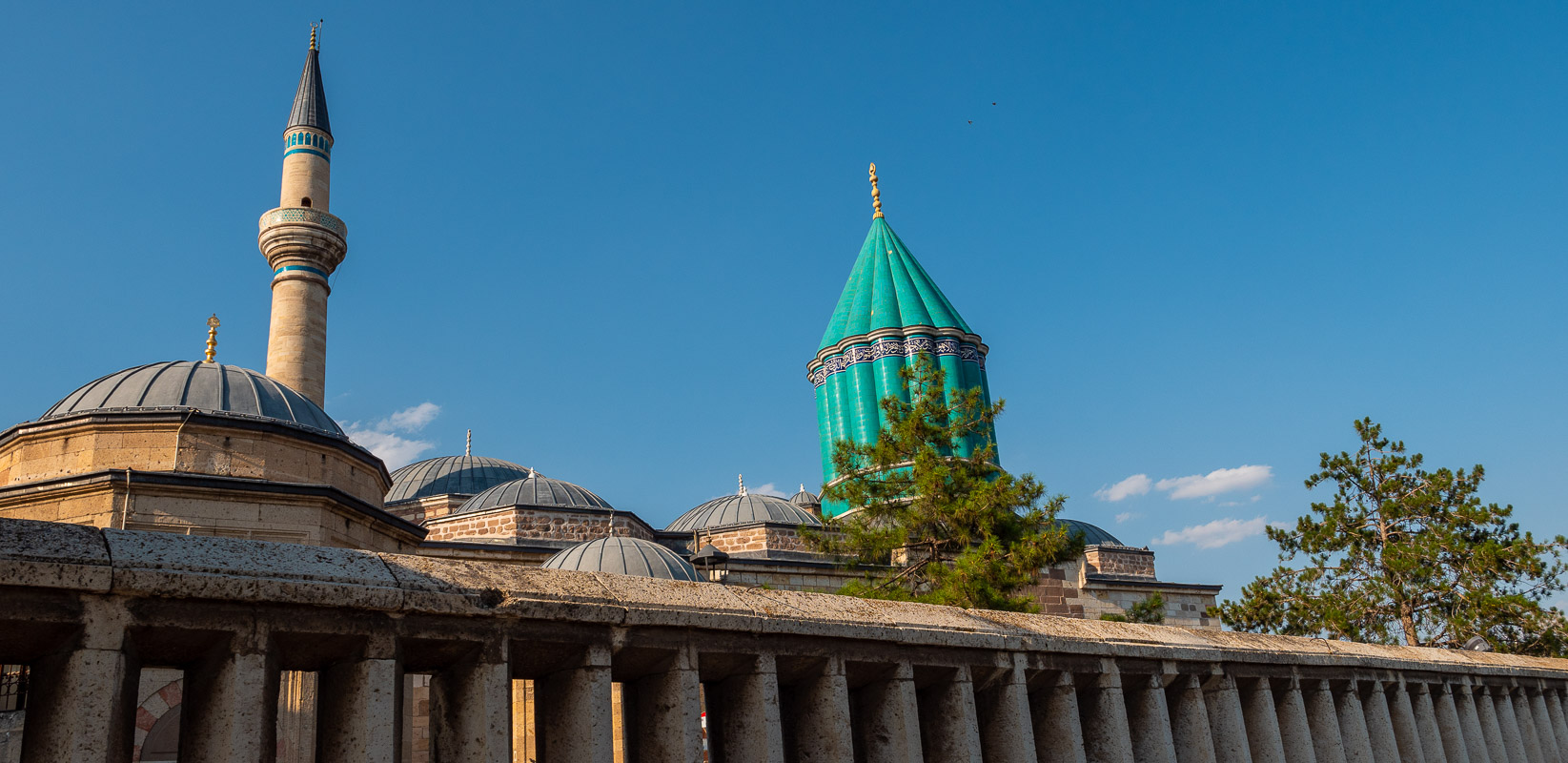
Mevlana Monastery
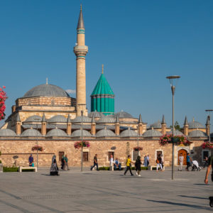
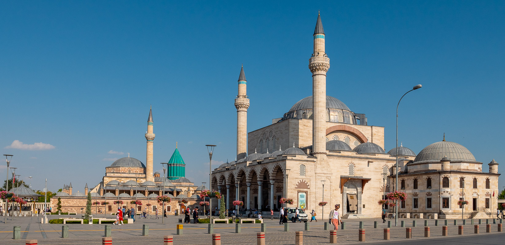
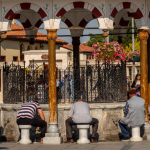
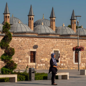
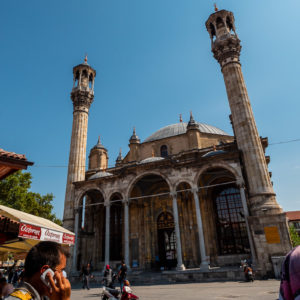
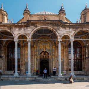
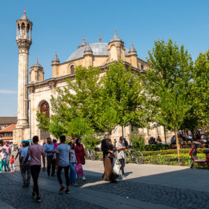
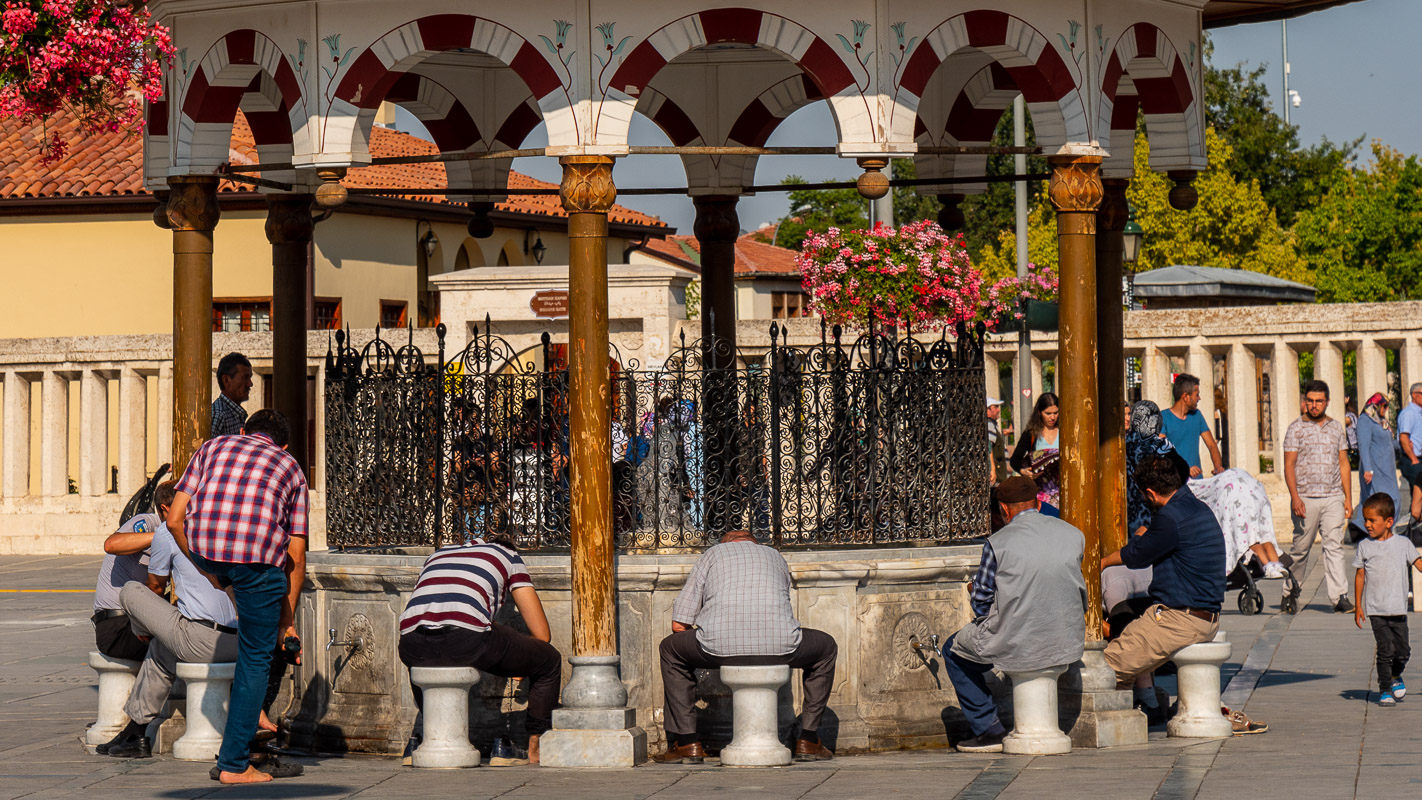
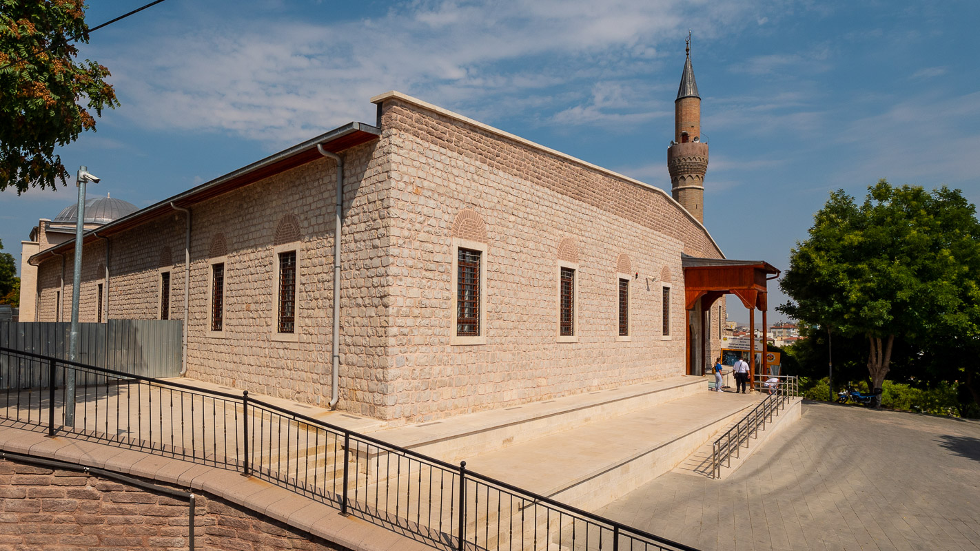
Our first visit to the city begins at Meydan with the imposing Selimiye Mosque and the Mevlana Monastery.
The picture on the right shows the Selimiye Mosque with its typical Ottoman architecture and open porch, and the Mevlana Monastery with its turquoise dome in the background.
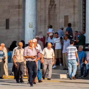
Meydan, the large square, is a colorful but quiet place. After prayer, the men stream out of the mosque, engrossed in conversation, while others wash their feet in the “holy” water, fill up pet bottles or drink from the fountain.
Unfortunately, we are not allowed to take photos inside.
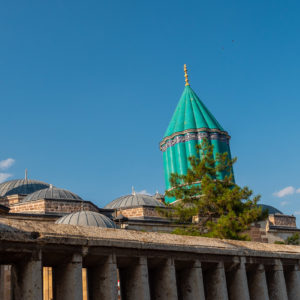

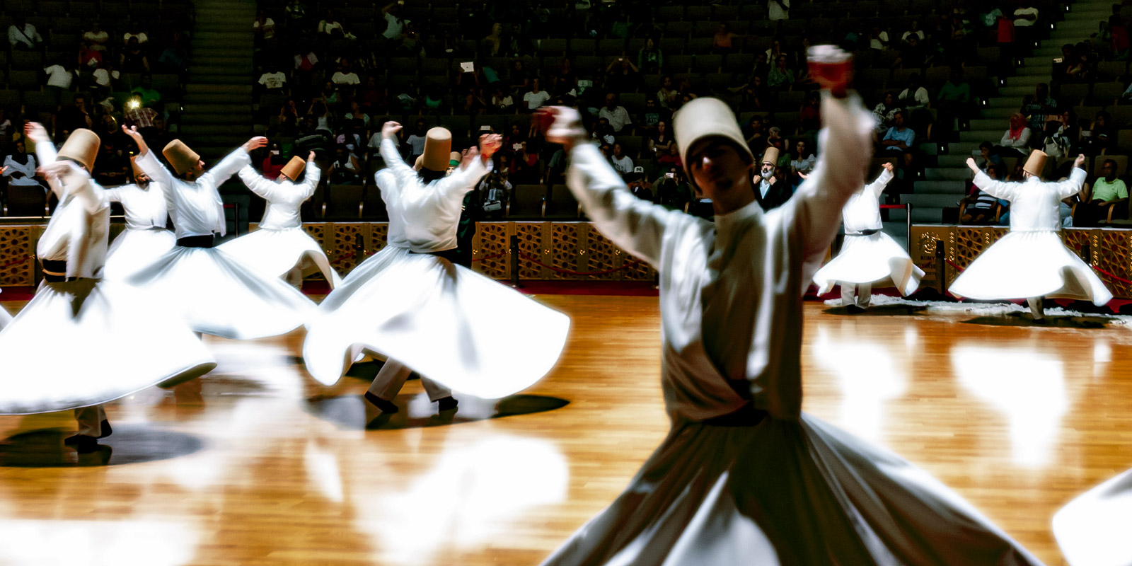
The “Brotherhood of Dancing Dervishes” was founded by the Afghan-born Islamic mystic Calaleddin Rumi. He was called “Mevlana – our master” by his followers.
This Islamic current strives for union with Allah through the eradication of the self. Spiritual contemplation, austerity exercises and ritual dances – the dervish dance – served this purpose. For over 650 years, the Mevlana Order had a great influence on all sections of the population, but especially on those in power. As the order opposed the reforms of the new Turkish Republic, it was banned in 1925 like all other Sufi brotherhoods. A year later, the Mevlana Monastery was reopened as a museum.
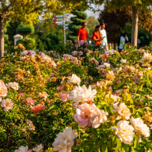
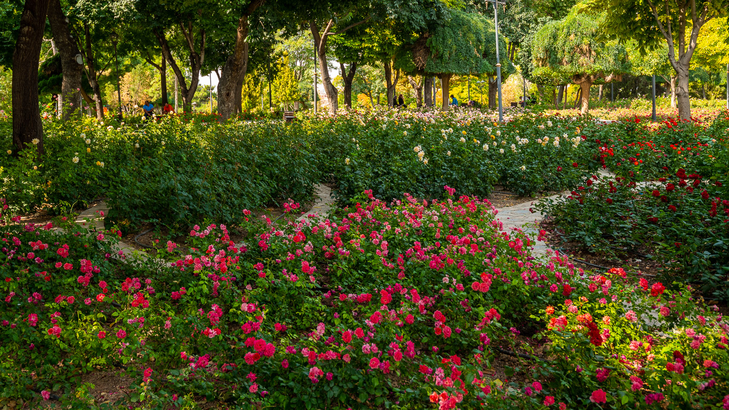
You can watch the famous dervish dances in Konya at the Mevlana monastery in the rose garden from Thursday to Saturday evening. We have dispensed with this and show a picture of Hulki Okan below. The gray cylindrical cap represents the tombstone, the white, swirling skirt the burial shroud of the dervish who died in himself.
Alaaddin Tepesi
Unfortunately, the interesting Selcuk excavations on the castle hill are closed due to construction work, which is why our visit is shorter than planned. We see the Alaaddin Keykubad mosque in a simple, typical Syrian-Arabic style and the beautiful, well-tended gardens. Afterwards, shopping is on the agenda.
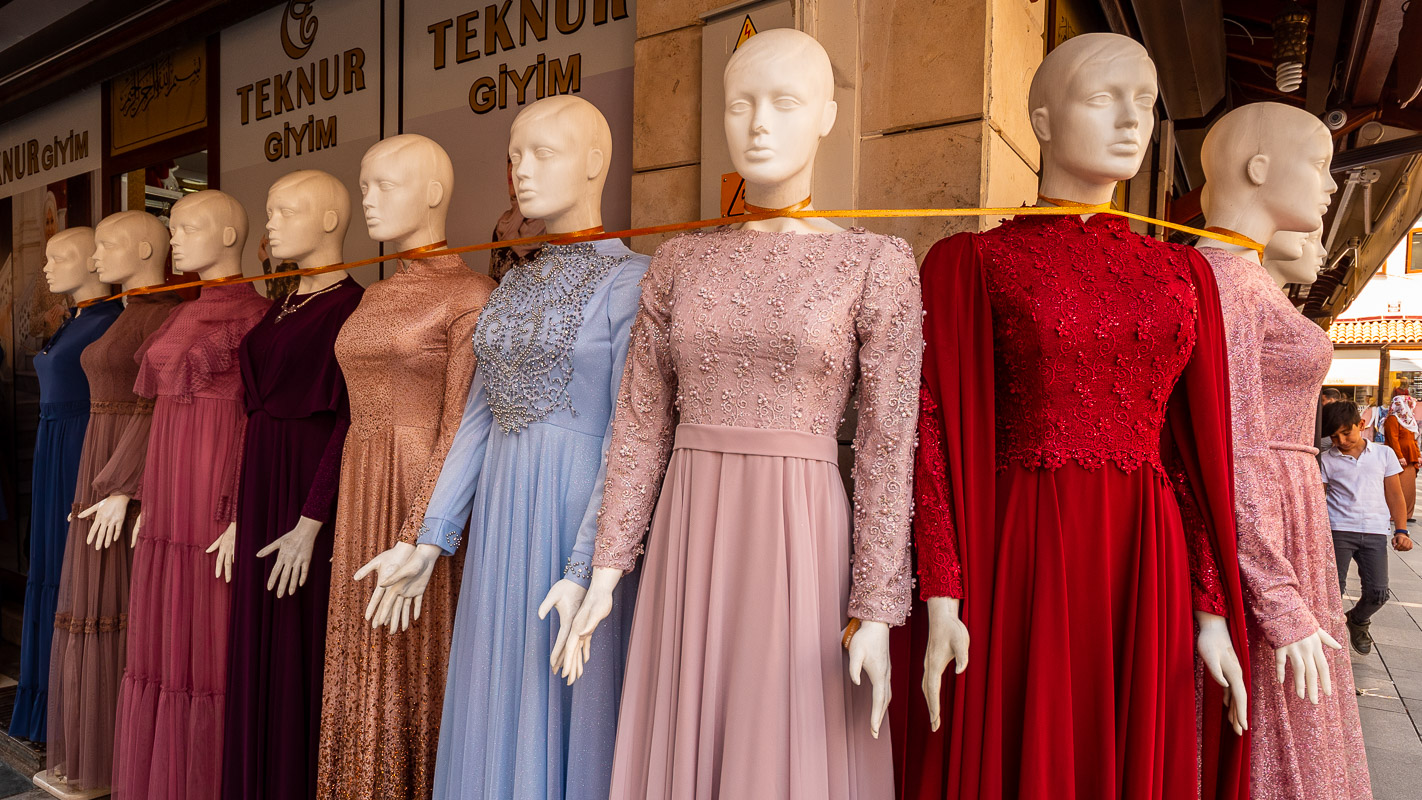
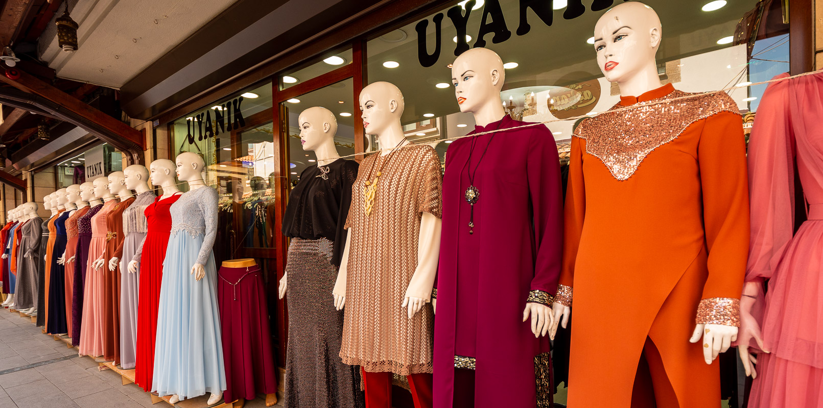
Shopping
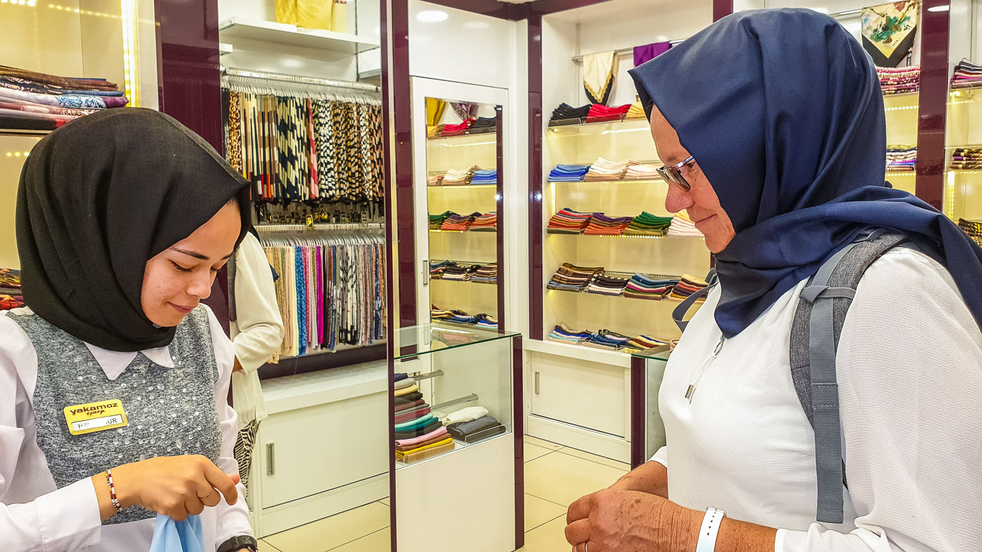
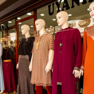
It takes us a while to find a store that sells conservative women’s clothing that Verena needs for Iran. We find what we are looking for at “OBJE” on Atatürk Caddesi, near the junction with Alaaddin Bulvari. The sales staff are initially very reserved towards us – they are reluctant to serve us. Finally, one of them plucks up the courage (the one in the pink dress) and in the end all the sales clerks are standing around us, laughing and friendly.
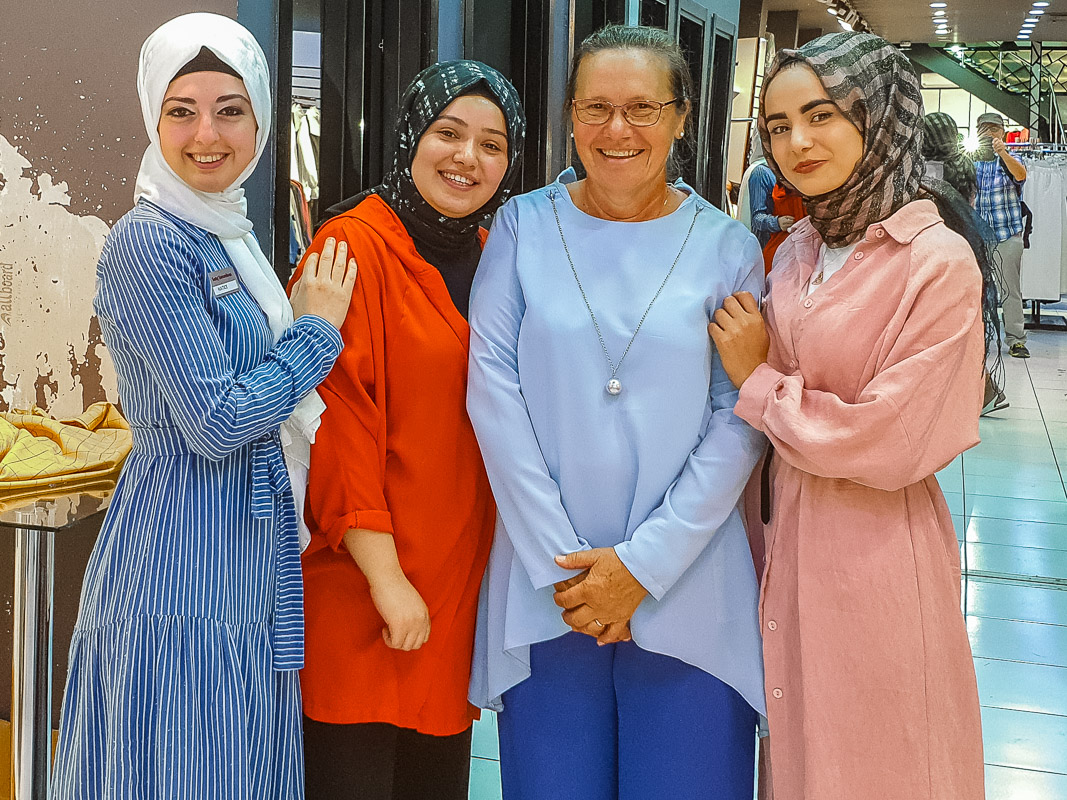
The “headdress” is still missing. One of the sales clerks takes us there, just around the corner. The headscarf and the headband with integrated accentuation at the back of the head follow here. (Beauty must also suffer in Islamic countries)
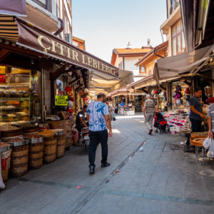
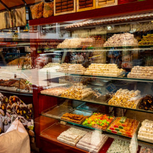
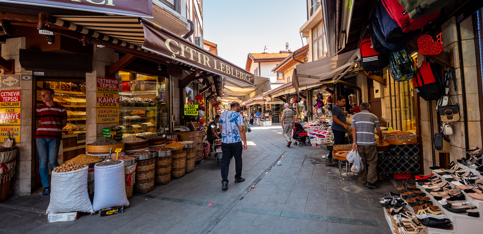
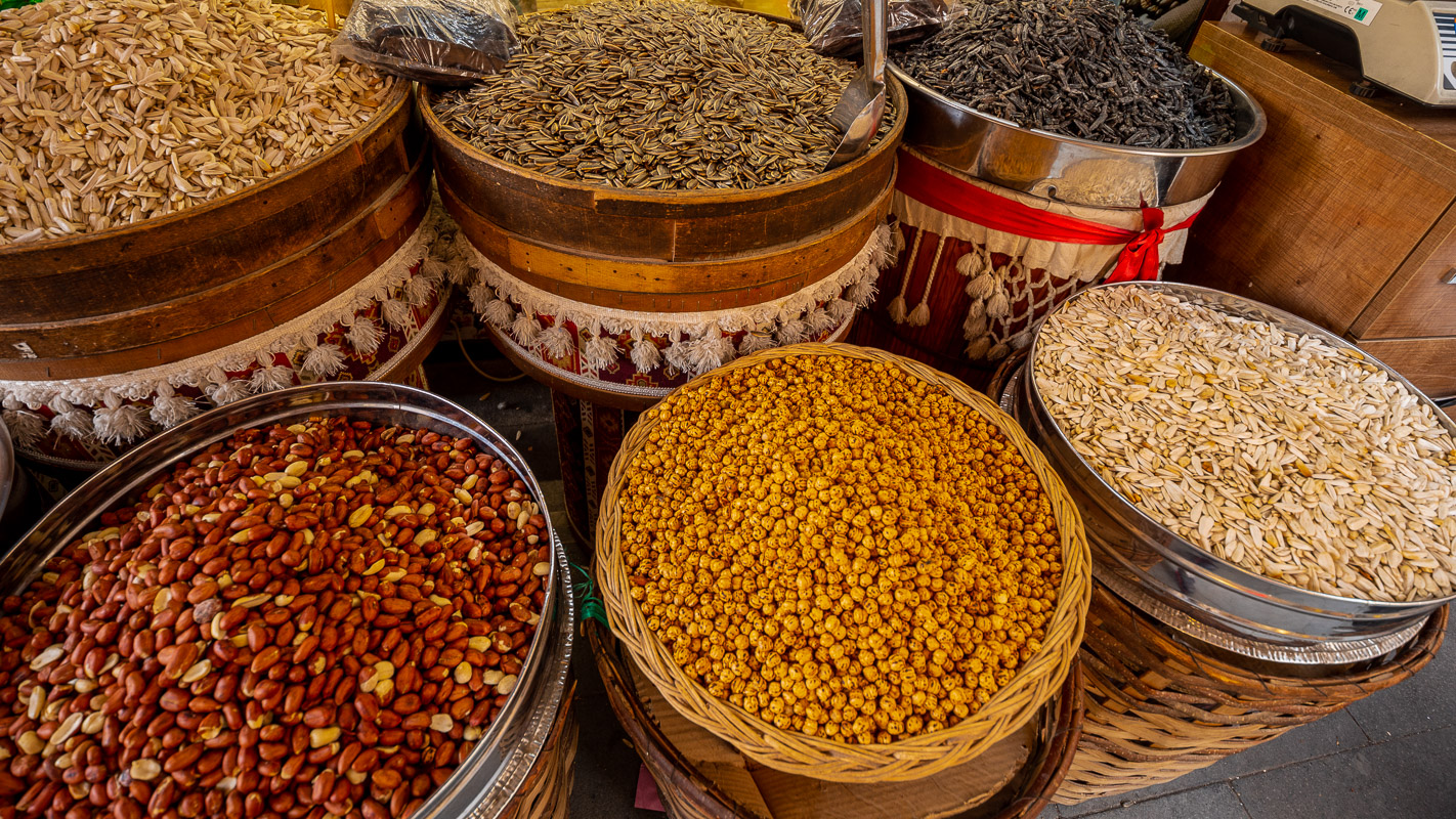
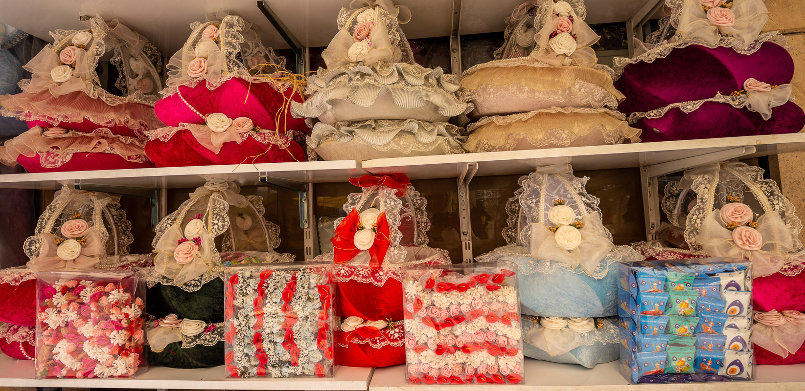
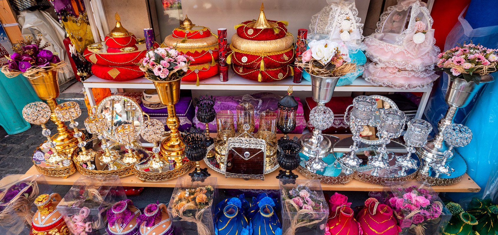
Bazaar quarter
Finally, we stroll through the “tidy” bazaar district with the Aziziye Mosque, which has been rebuilt in the Rococo style. The advertising brochure mentions the bazaar as a place where bridal couples in particular would go shopping.


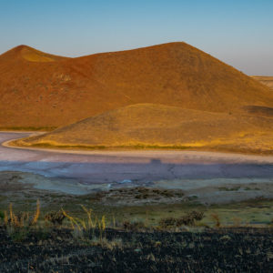
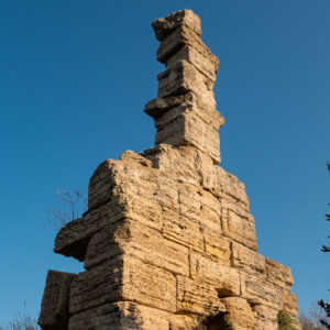
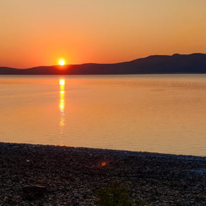
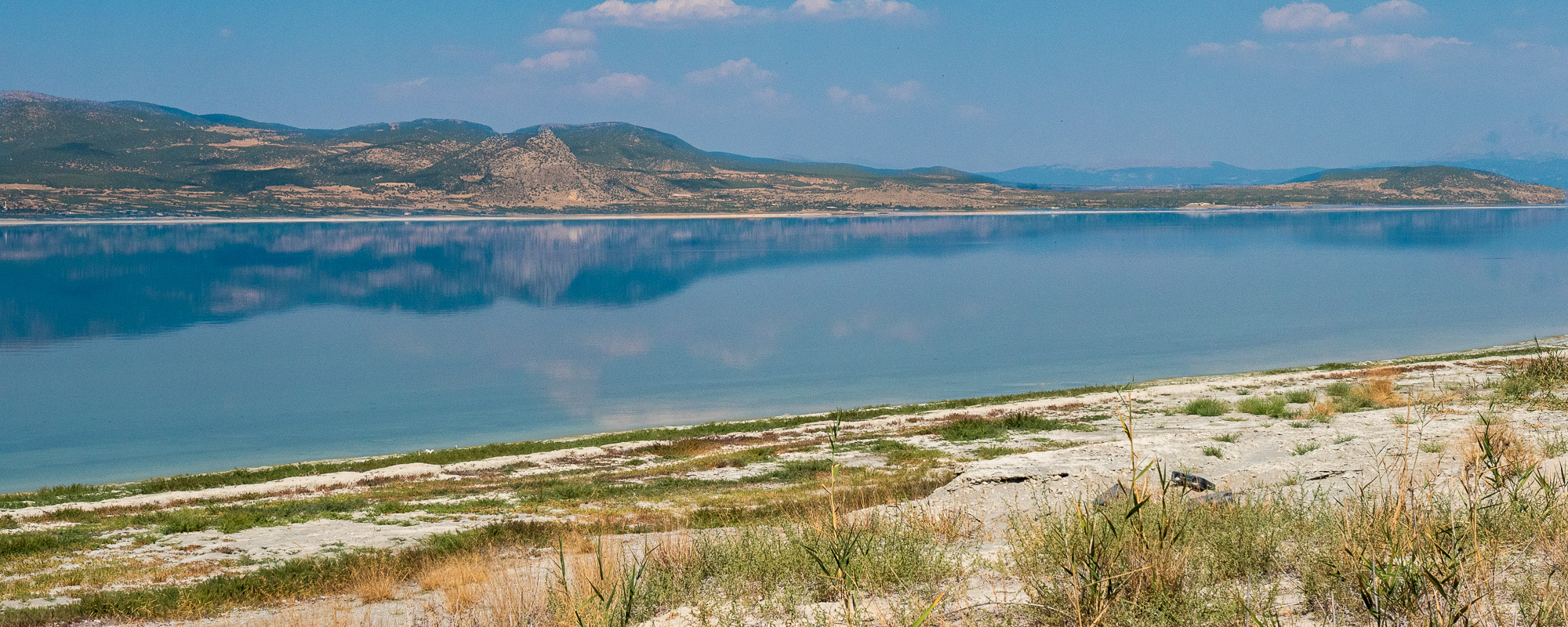
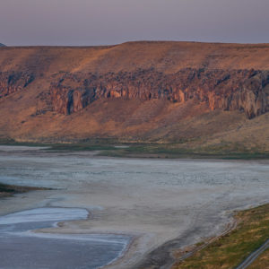
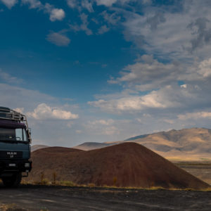
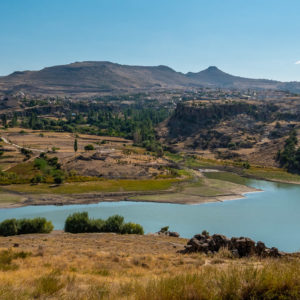
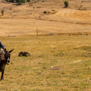
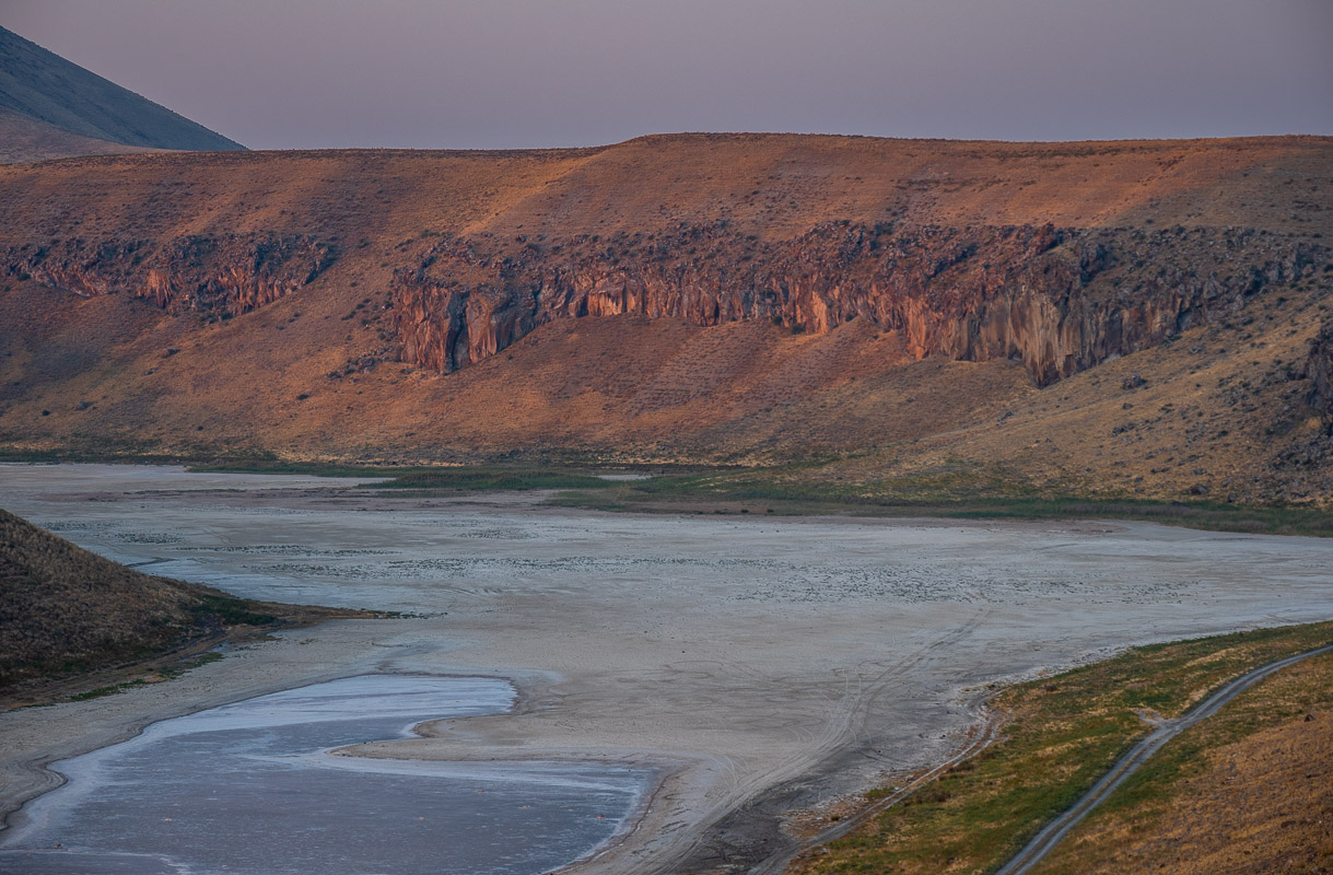
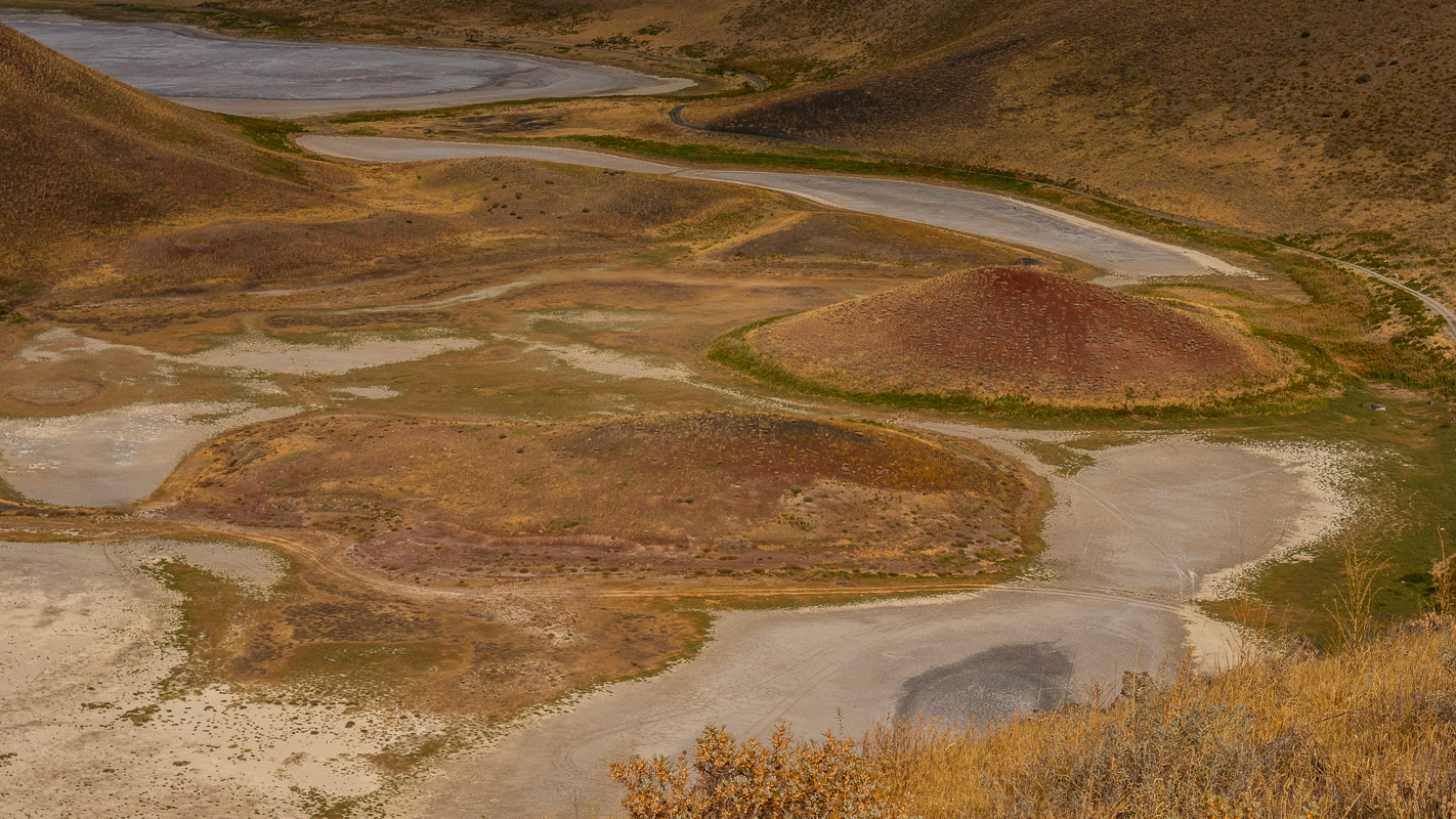
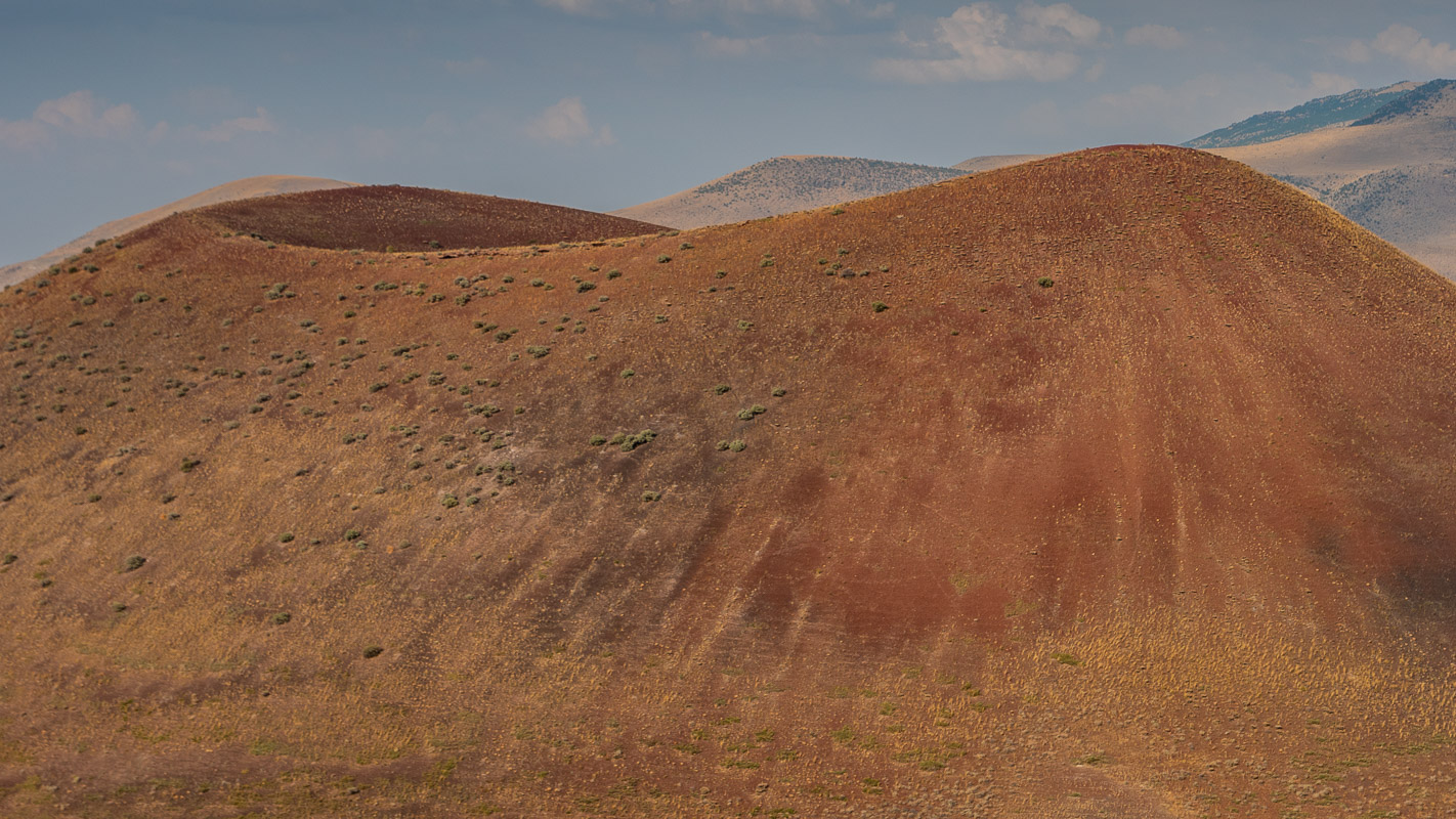
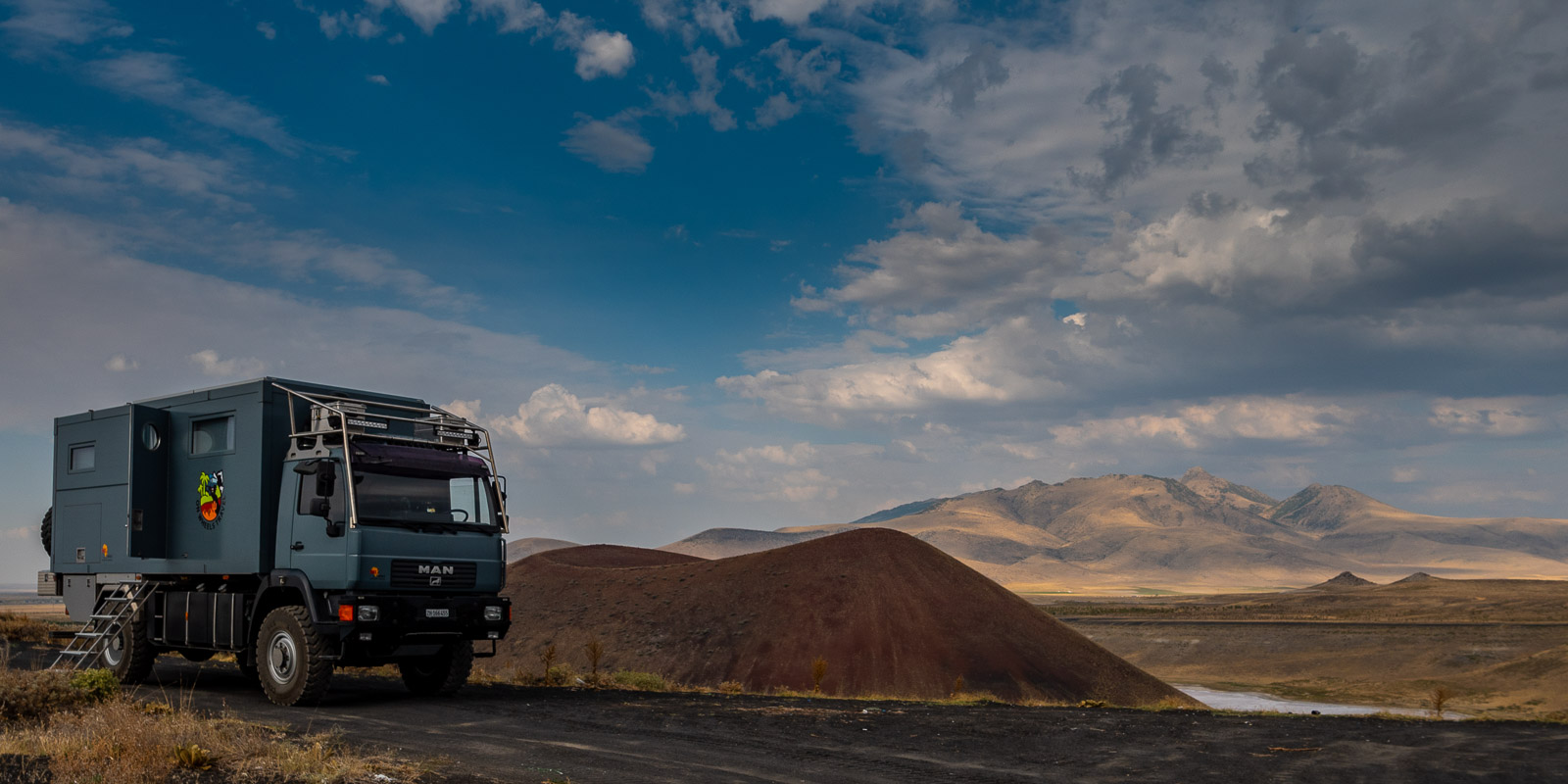
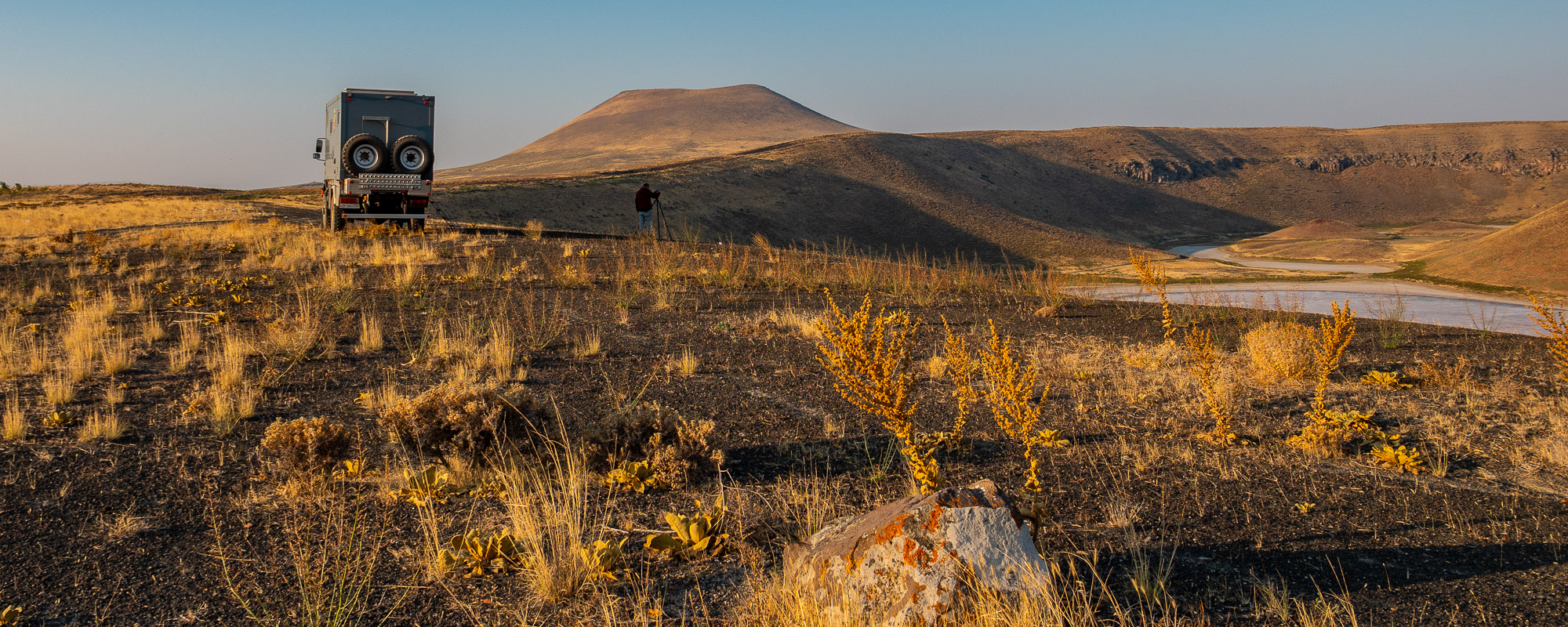
Meke Gölü
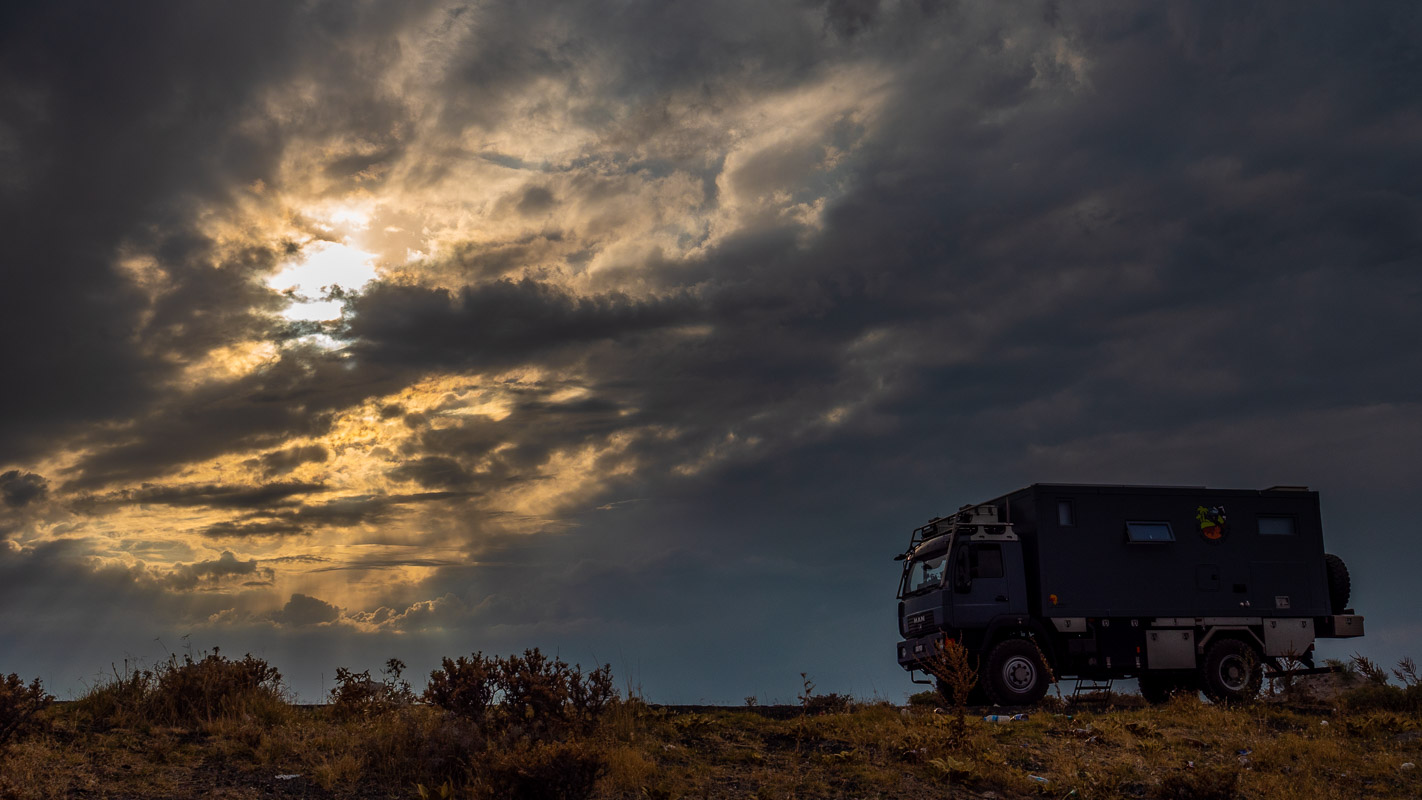
Enough of the city – we have finally reached Meke Gölü at an altitude of around 1000m. However, all that can be seen of the Gölü (lake) around the Meke volcano is a dried salt crust, as the lake often dries out in the summer months. Nevertheless, the volcano within the volcano is impressive. It is said to have been created by a double eruption. We enjoy the (temporary) peace and quiet on the crater rim. A bad weather front soon passes, bringing a few drops of rain during the night.
You should not stay overnight on the crater rim, according to iOverlander. So we set off at dusk to look for a place to spend the night.
After a nice encounter with a boy and his uncle smelling of whisky, a Turkish car actually wants to overtake us on the narrow, single-lane gravel road. It honks and flashes like crazy. We stop at a bulge. He drives right next to us, gets out with his colleague – stands in front of our MAN and takes two or three photos, waves cheerfully, gets back in and drives back to his evening party place.
We experience these and similar situations almost every day. People often wave to us in the fields, at the side of the road or from overtaking vehicles. Sometimes the driver of the overtaking vehicle even leans out of the window so that he can see us from the front.
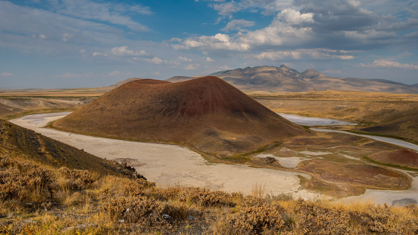
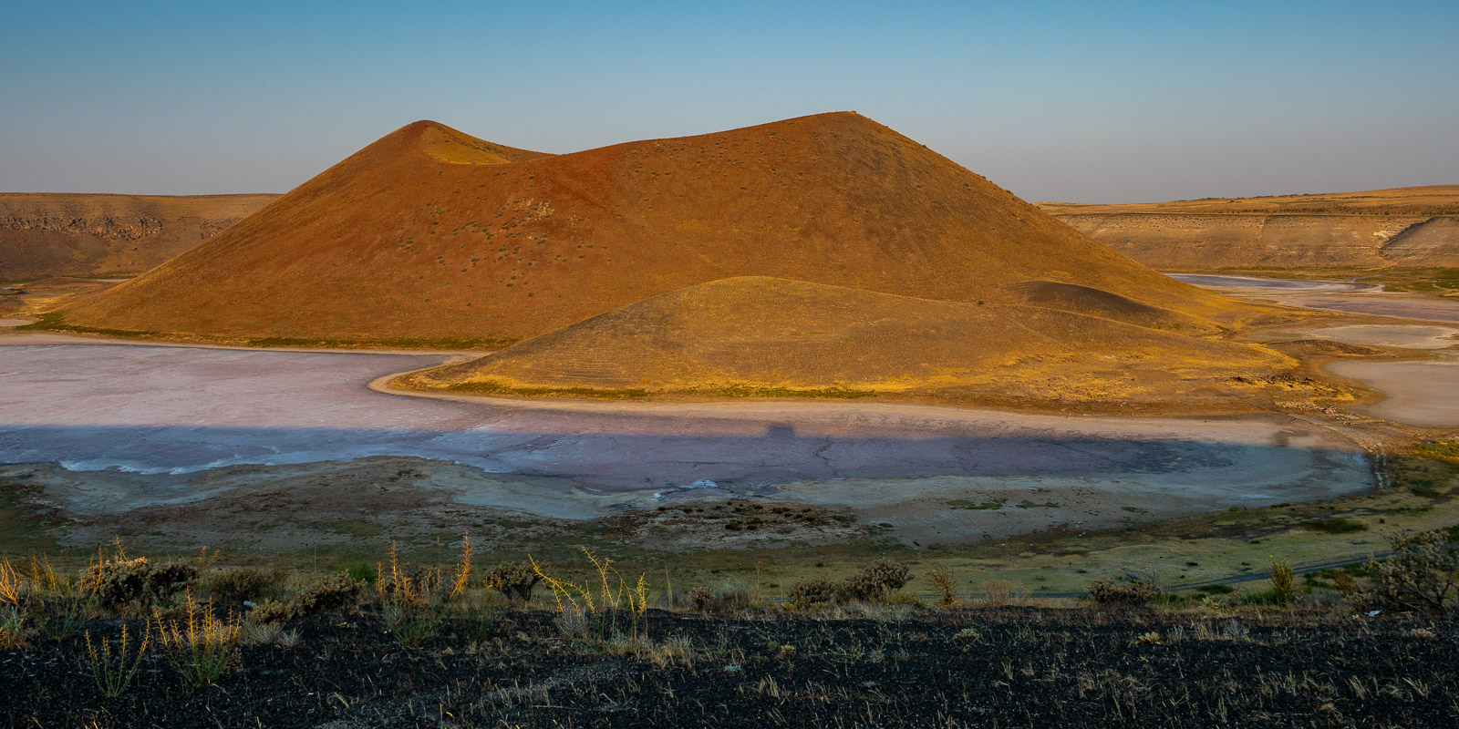
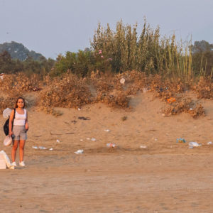
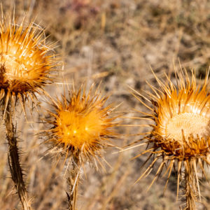
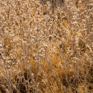
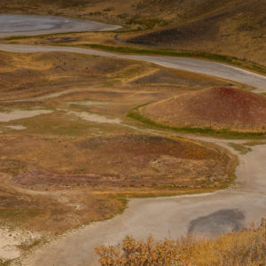
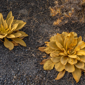
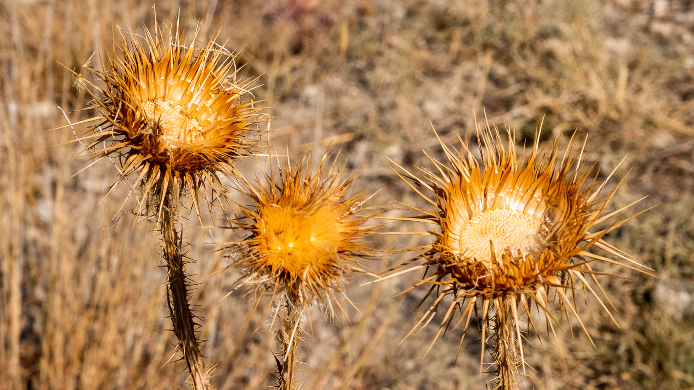
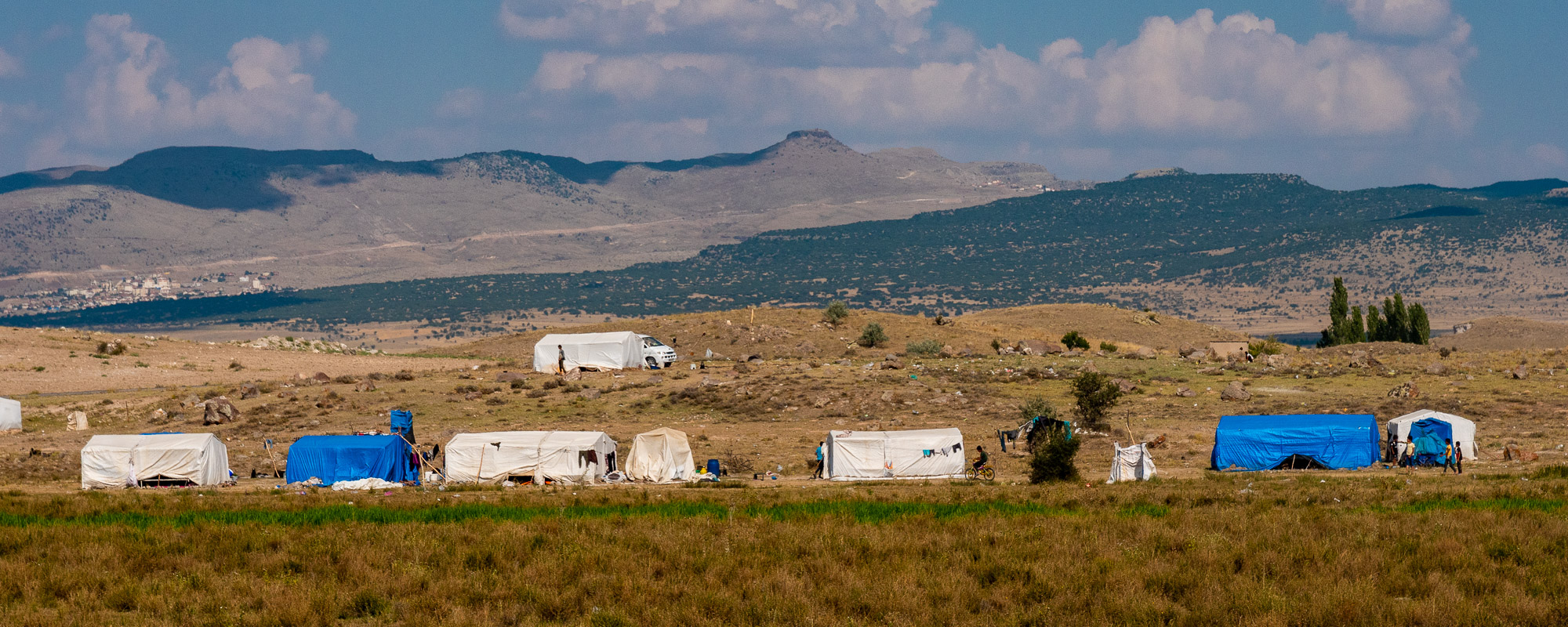
A pro pos evening party. A rather unpleasant phenomenon are the evening parties in beautiful, remote places, such as the Meke Gölü. Passenger coaches arrive at these locations in the evening and at night until 3 a.m. or even later. It is then a constant coming and going. It’s often not very loud, but if we’re standing there too, we’re usually scrutinized with the spotlights. Yes, once someone stood right in front of us, probably to be able to read our license plate, etc. That makes you feel unsafe and disturbs your sleep. But even worse: as beautiful as Turkey is and as lovable as the people are, there is often a lot of garbage in the most beautiful places, unfortunately also at the top of the crater rim, around the volcano. slightly less in the east than on the west side.
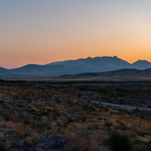
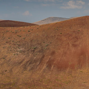
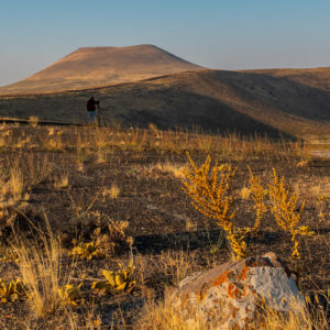
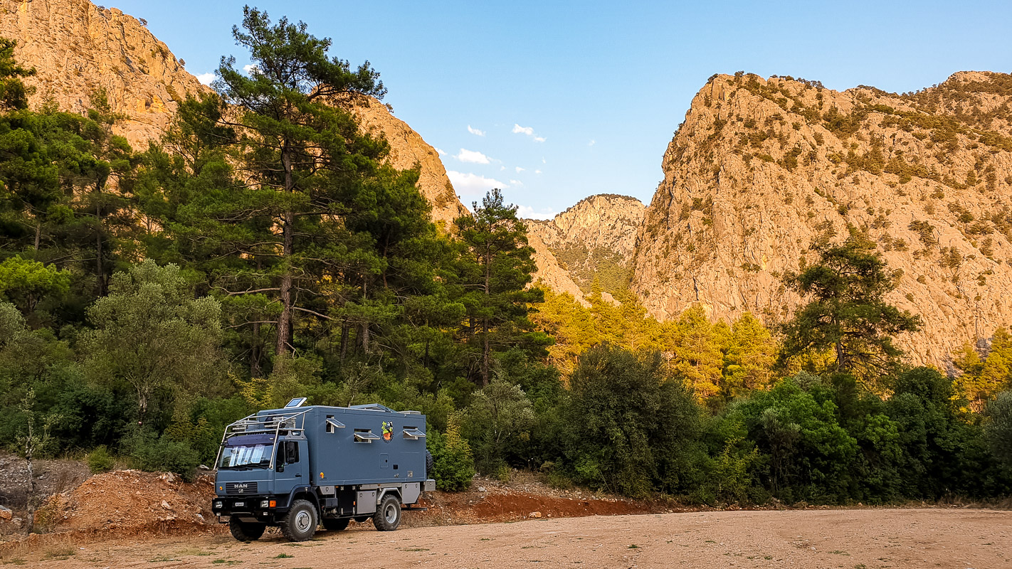
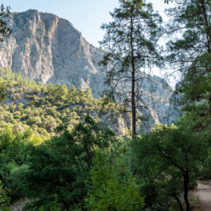
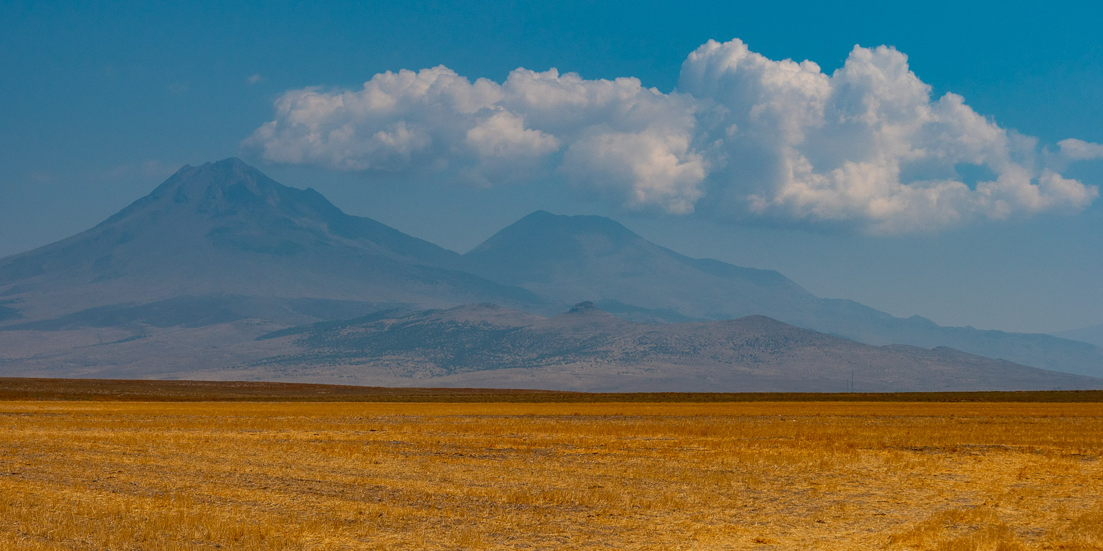
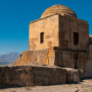
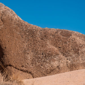
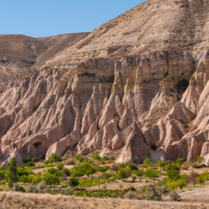
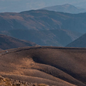
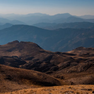
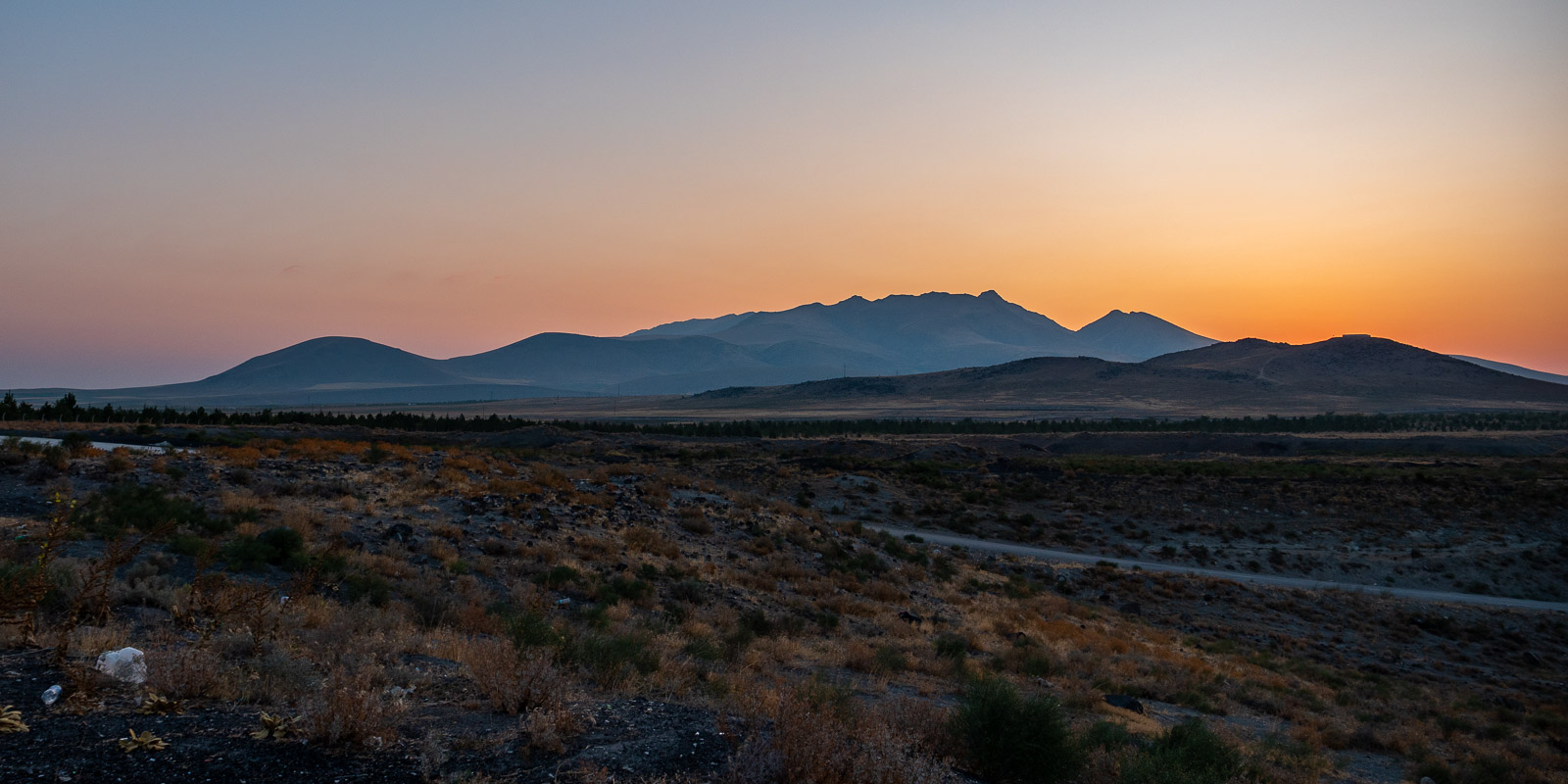
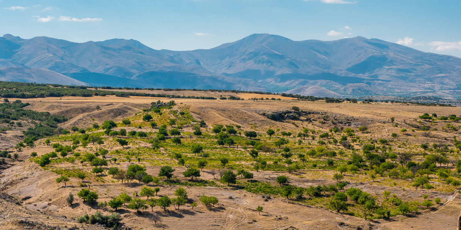
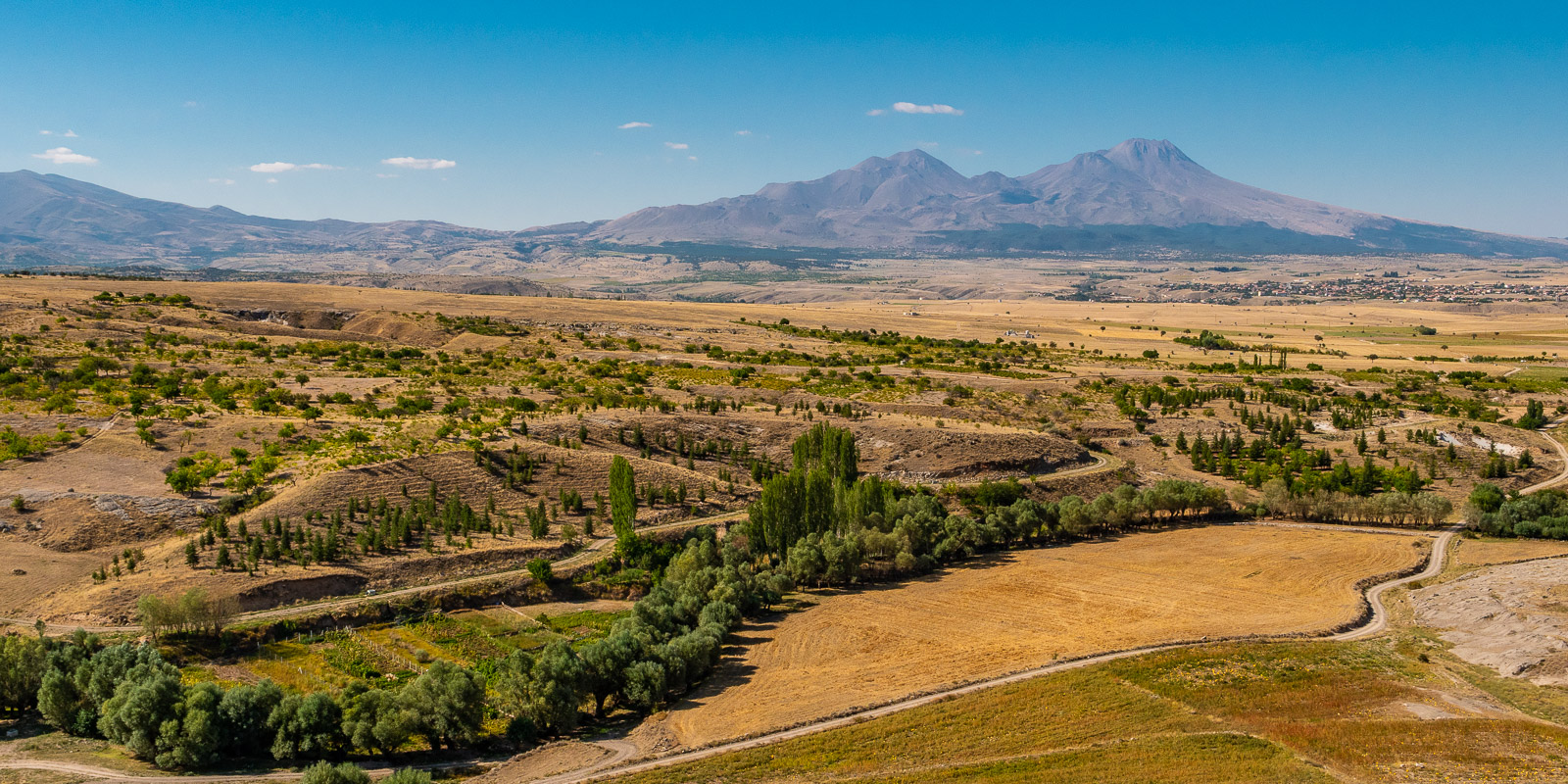
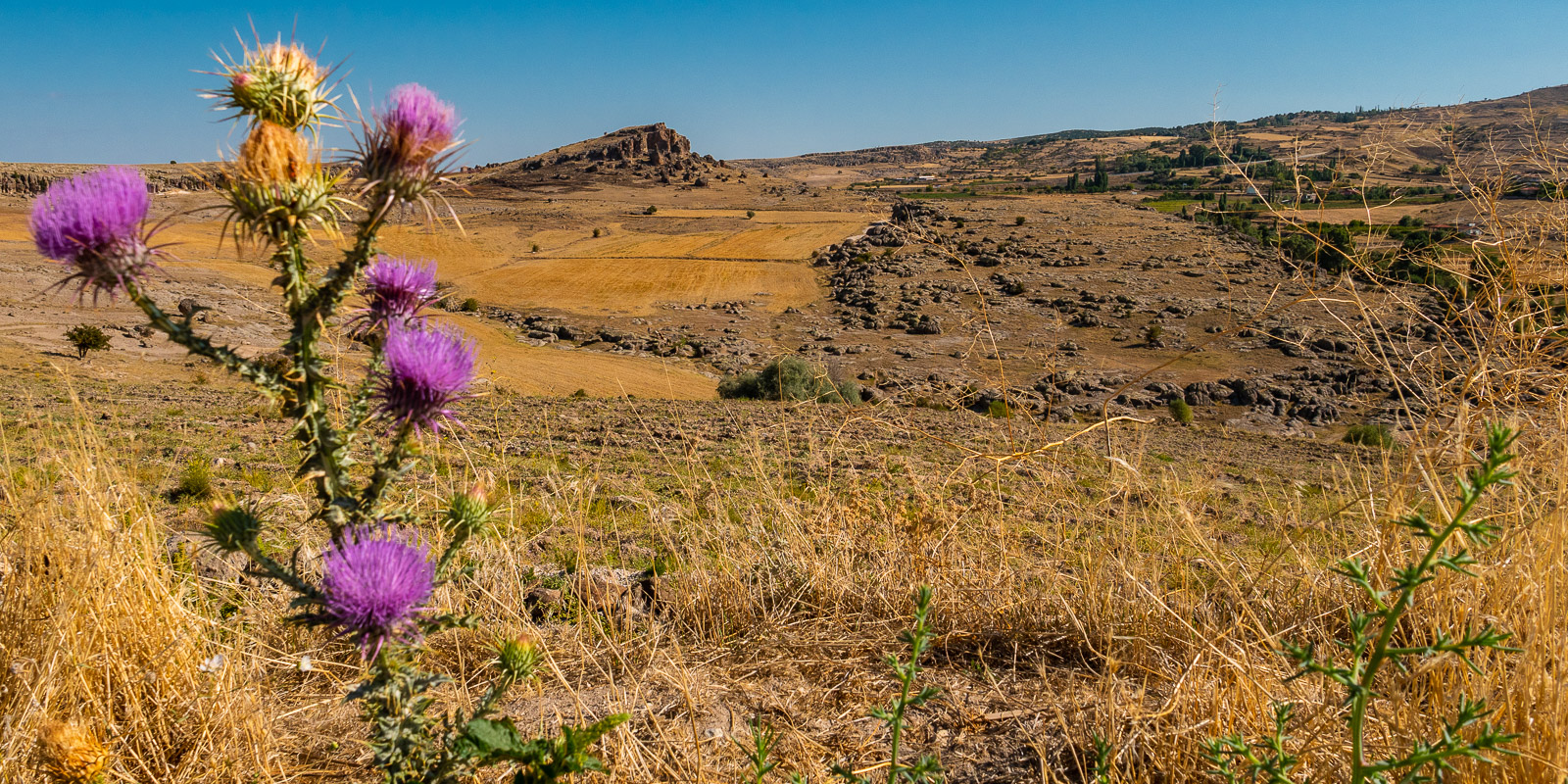
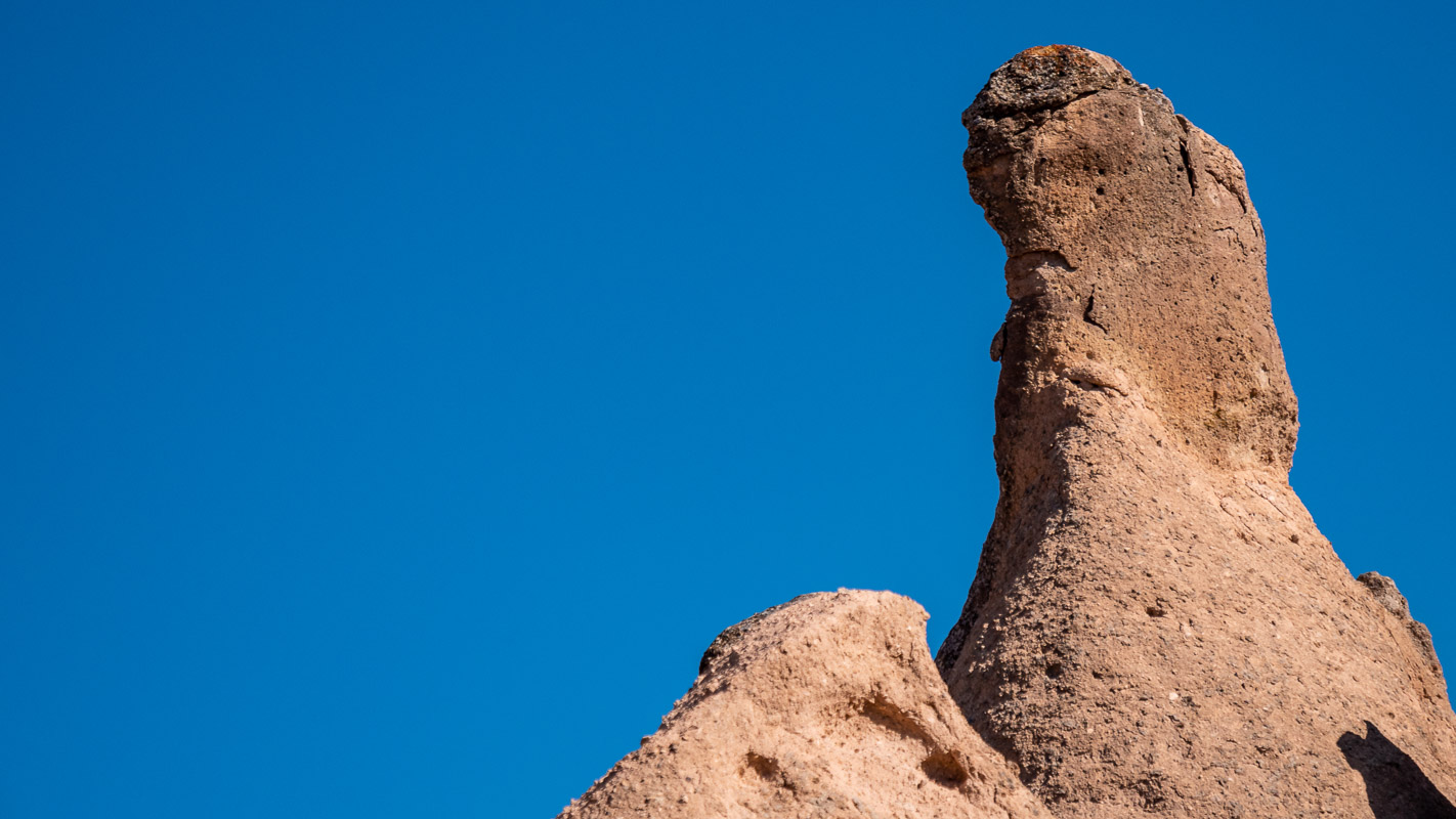
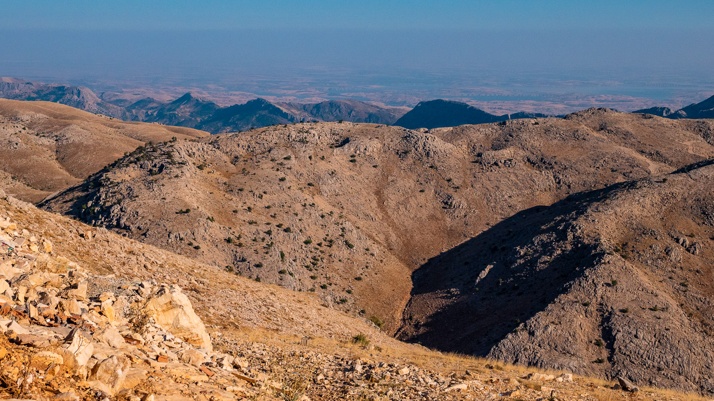
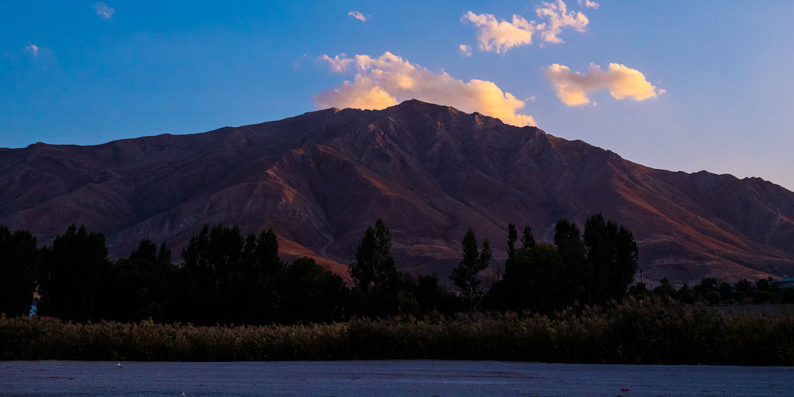
Hasan Dagi
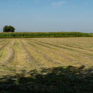
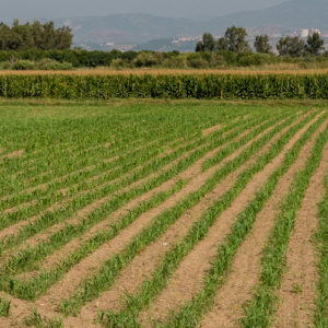
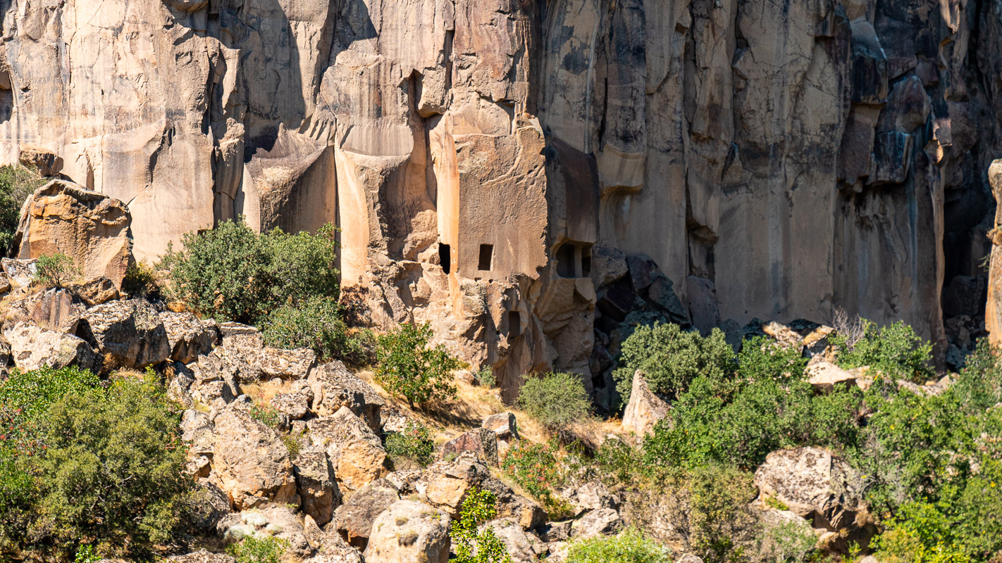
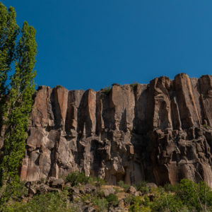
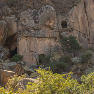
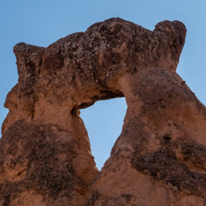
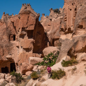
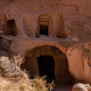
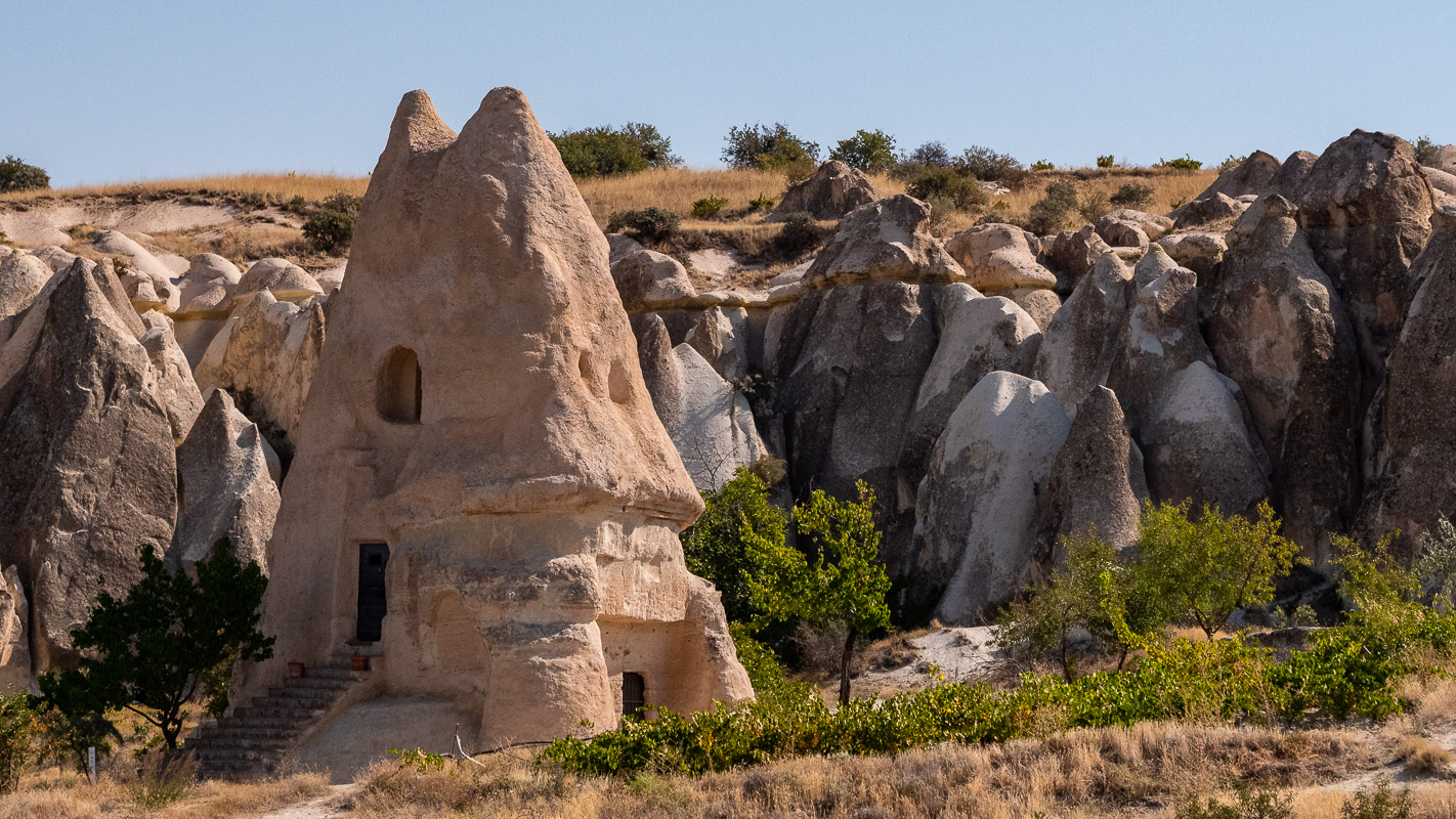
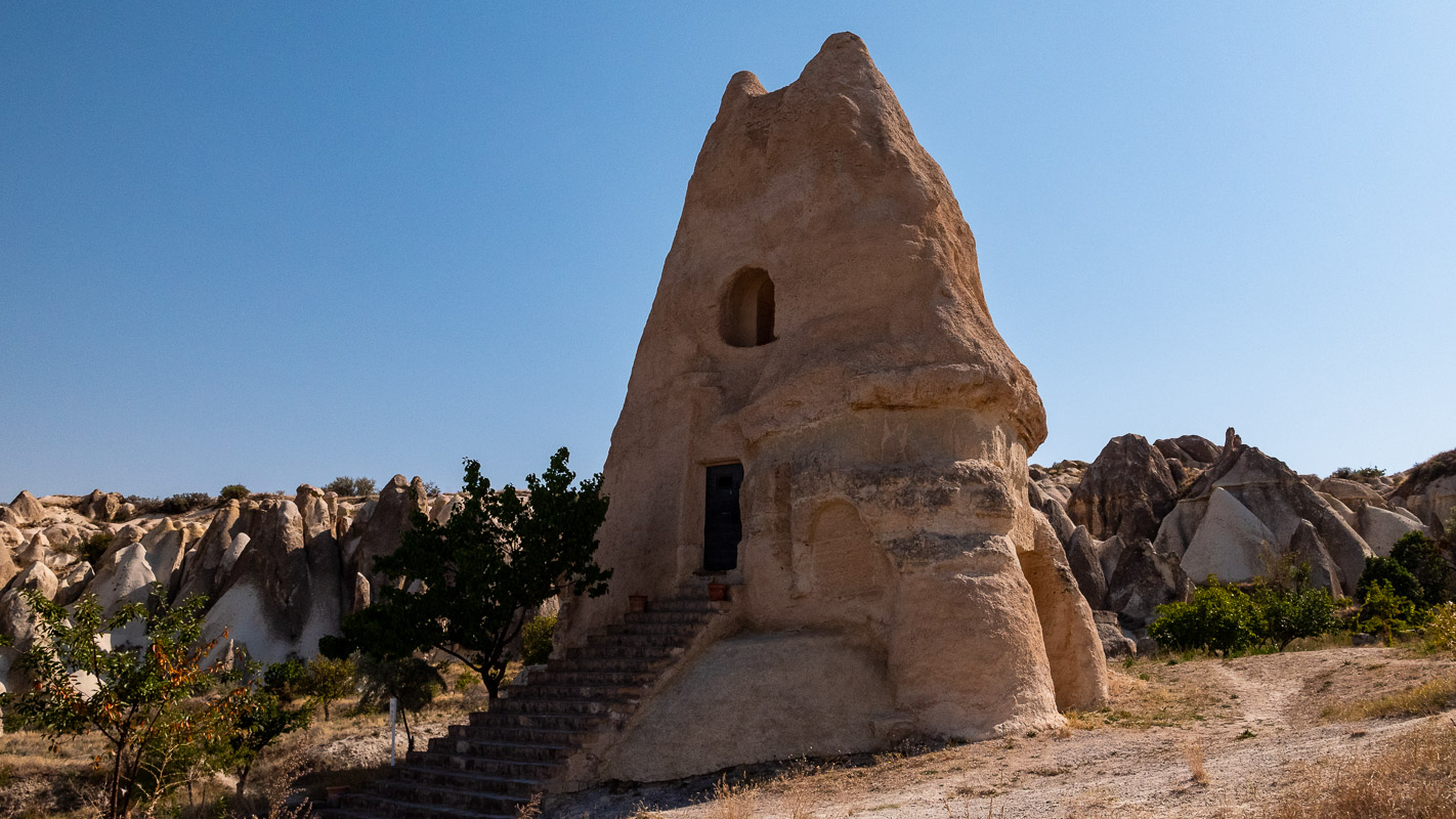
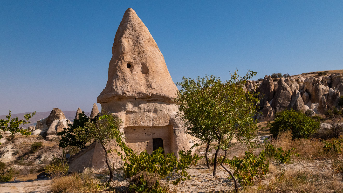
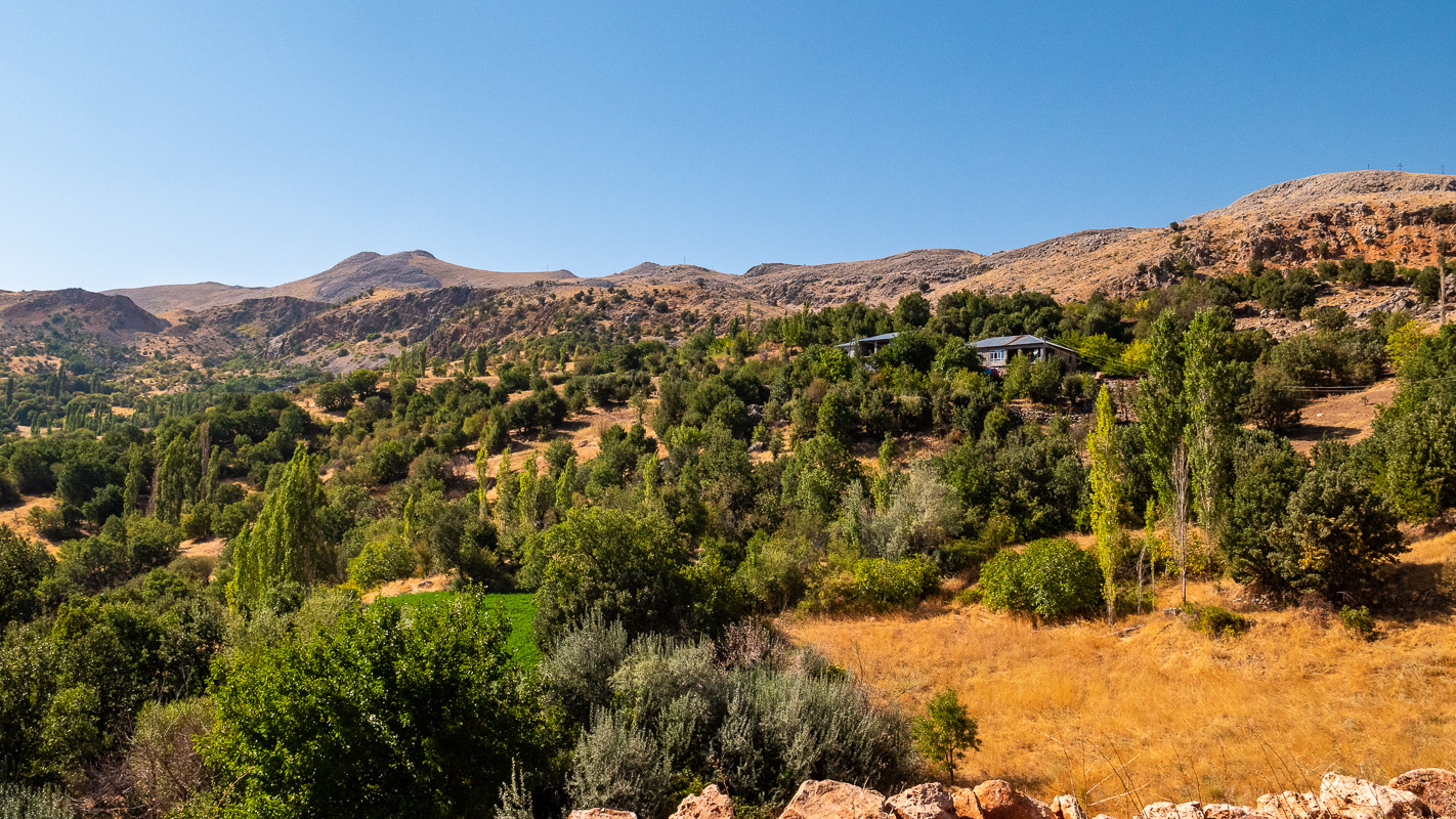
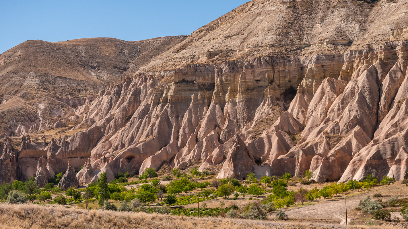
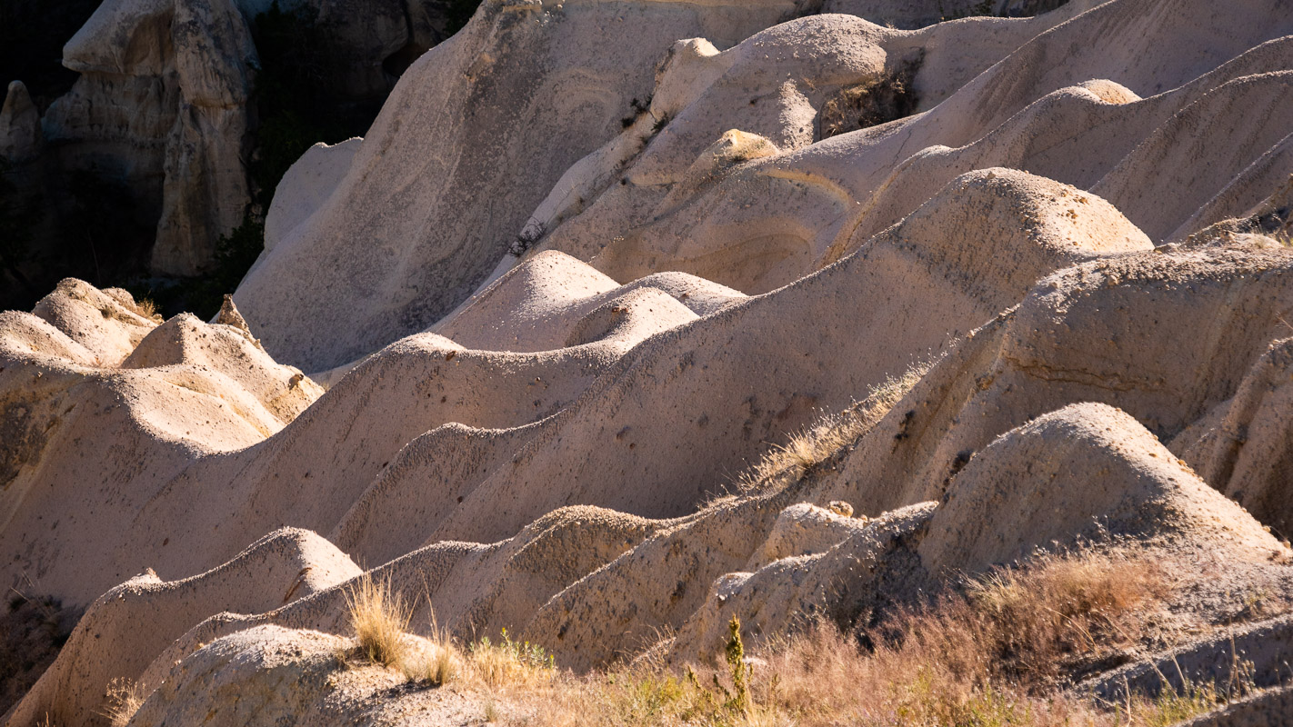
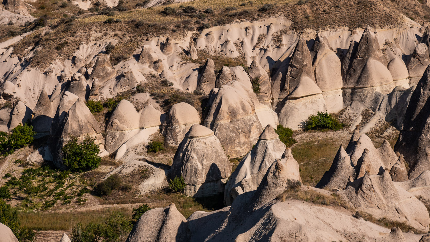
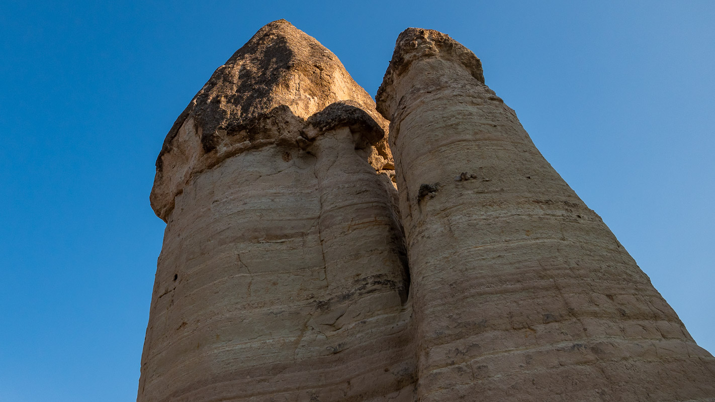
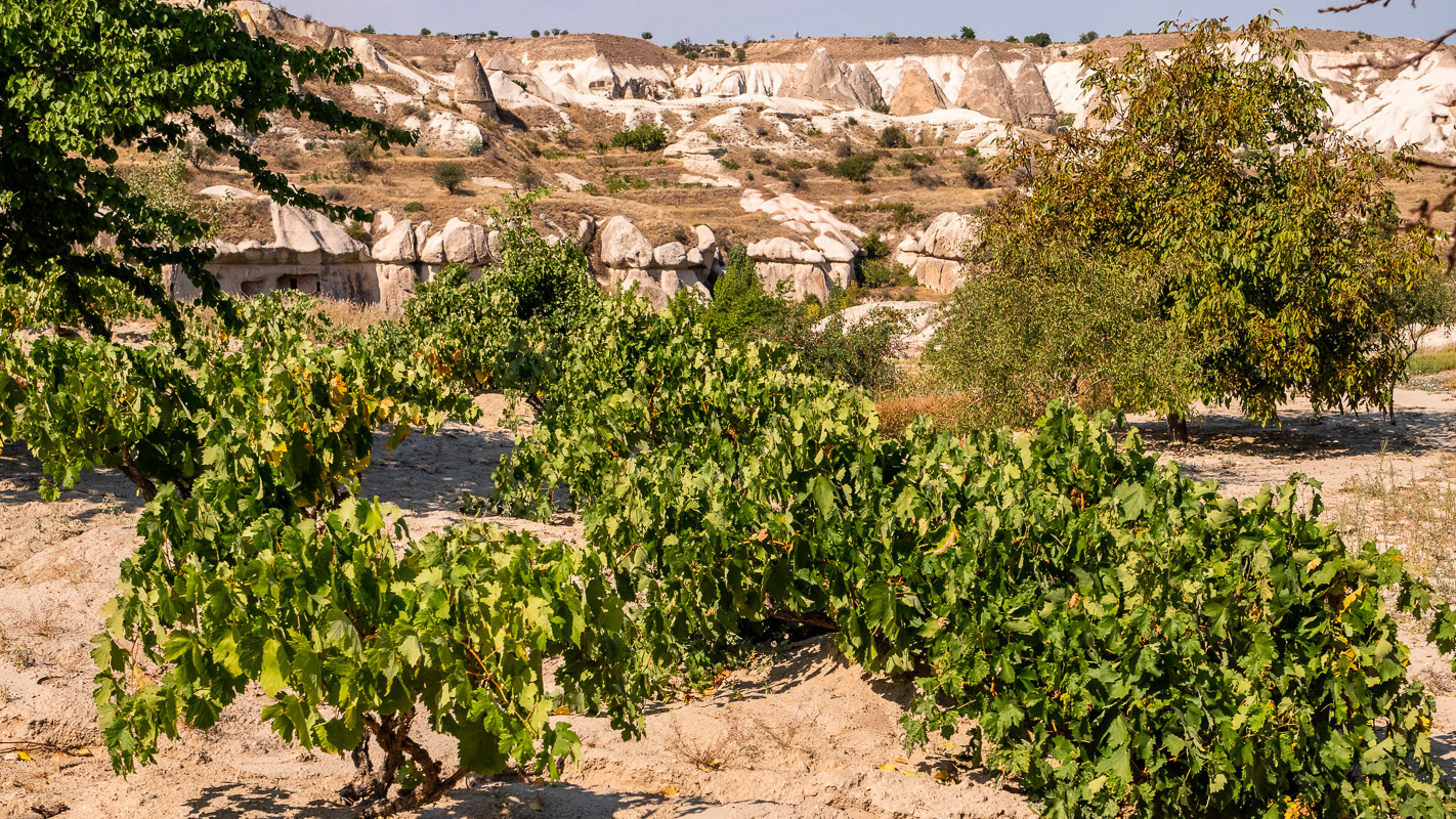
The journey continues on minor roads to Hasan Dagi and from there to the Ihlara Gorge. Hasan Dagi is located on the periphery of the Cappadocian highlands at altitudes of around 1200m. Together with two other volcanoes, it is considered the “creator” of the Cappadocian landscape, as the ejected ash rain became tuff, which is easy to work. Settlements and churches were carved into the rock in Byzantine times and even earlier in this sufficiently solid but not too hard rock.
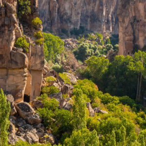
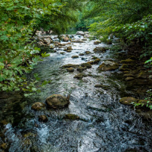
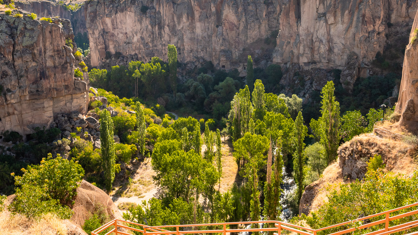
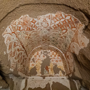
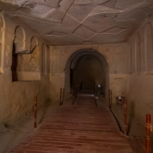
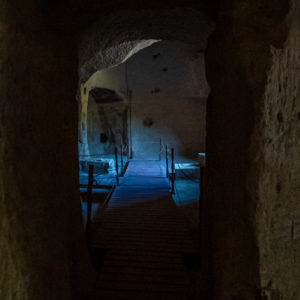
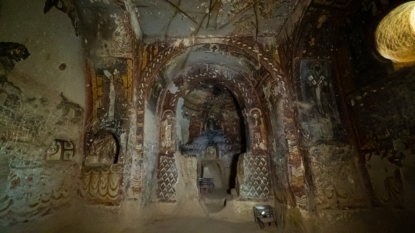
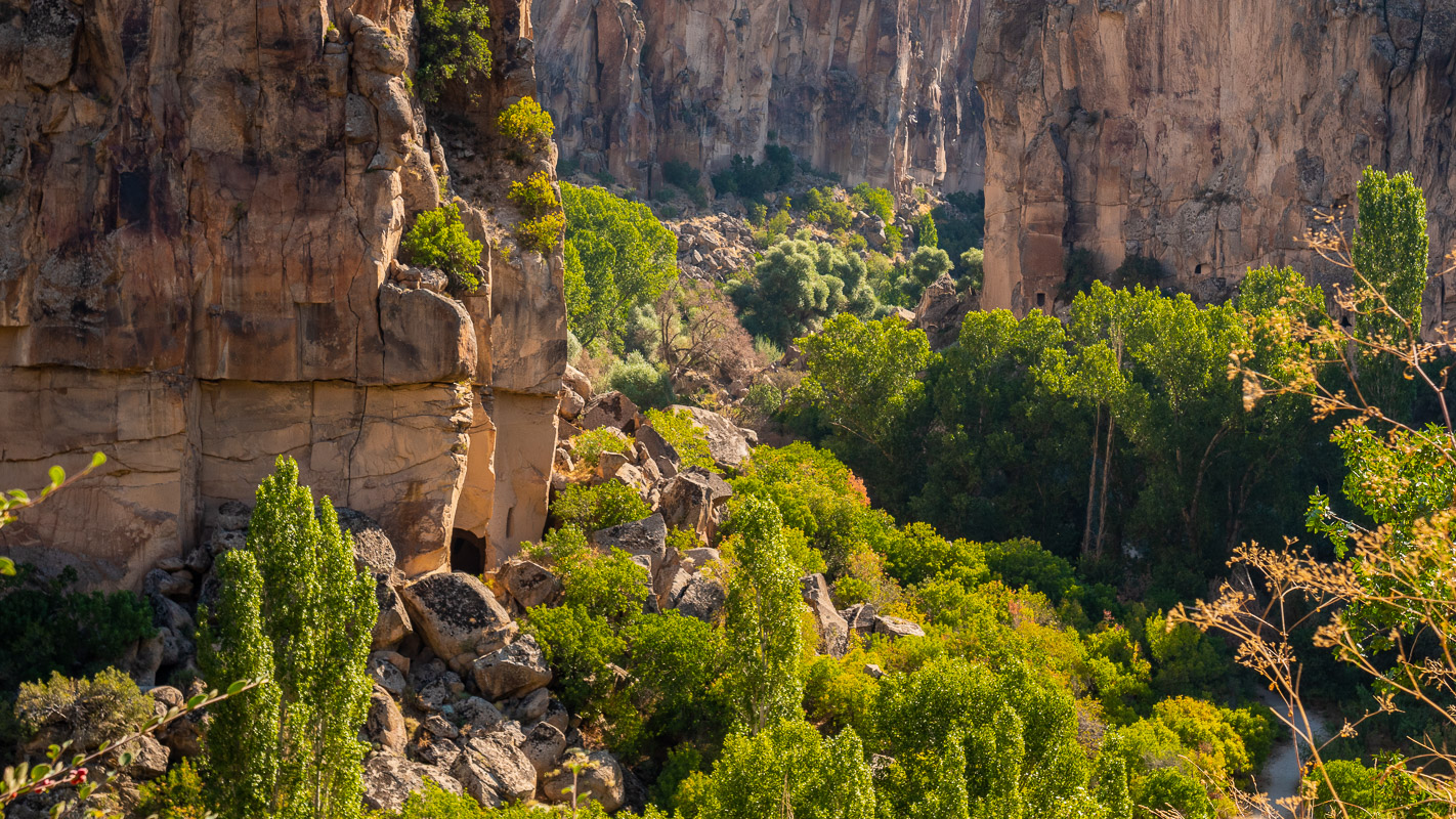
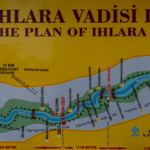
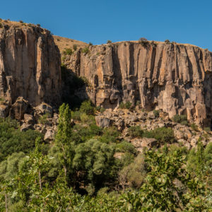
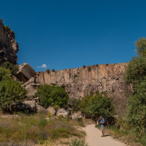
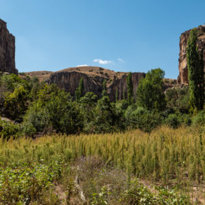
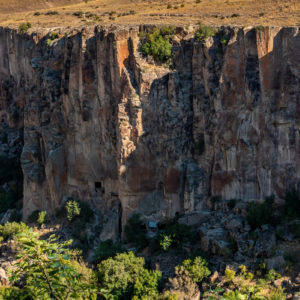
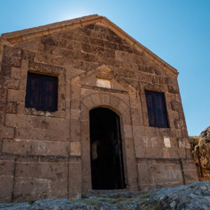
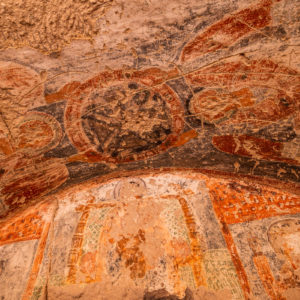
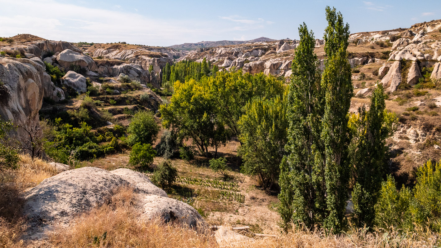
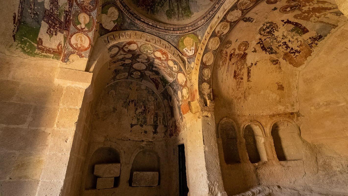
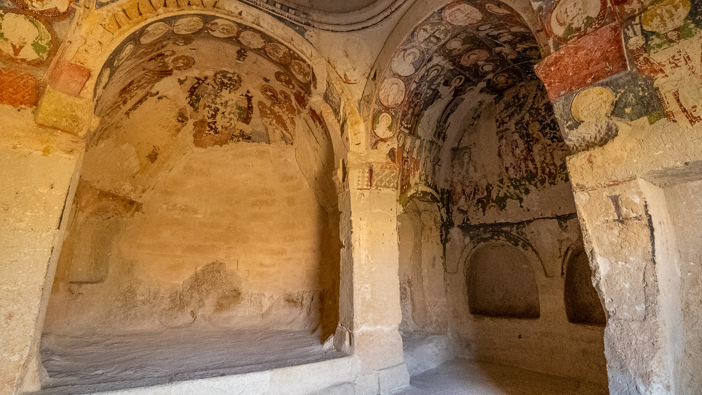
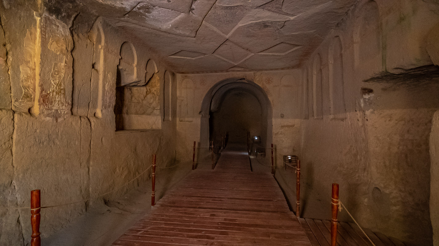
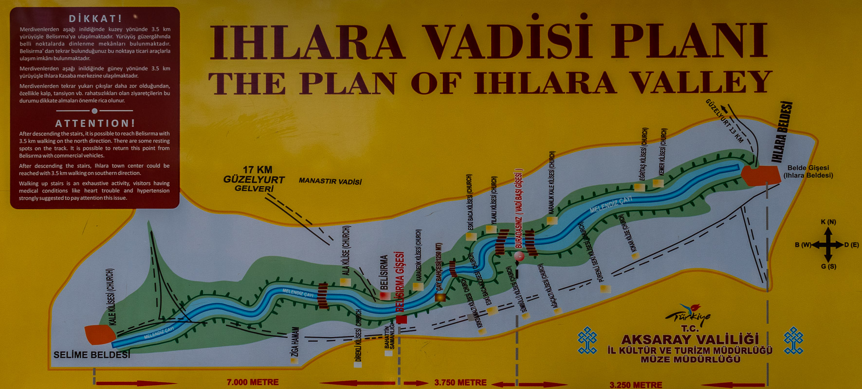
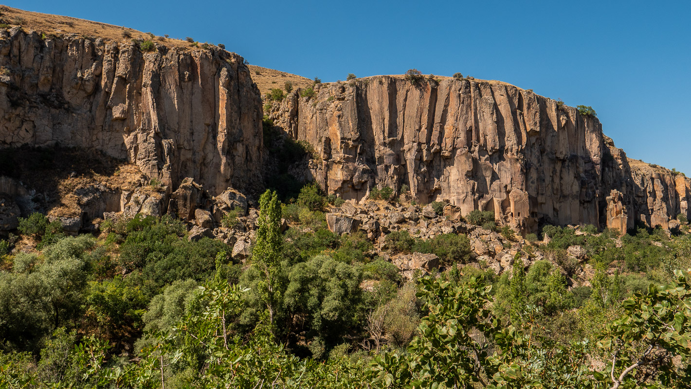
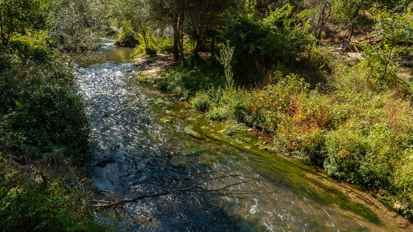
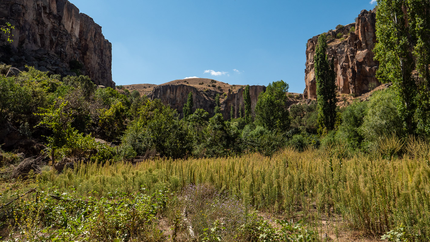
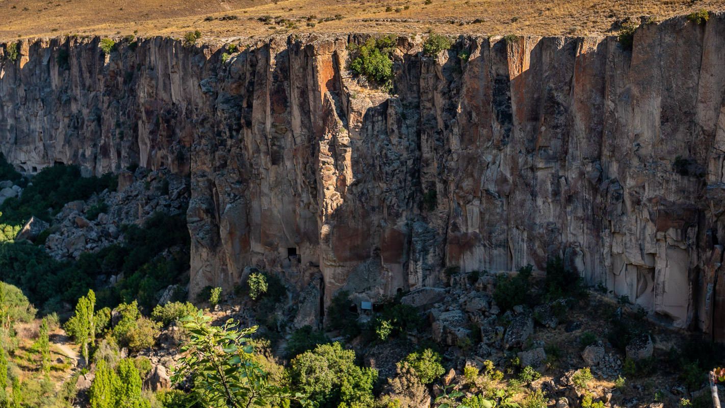
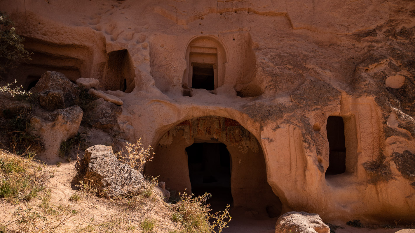
Ihlara Gorge
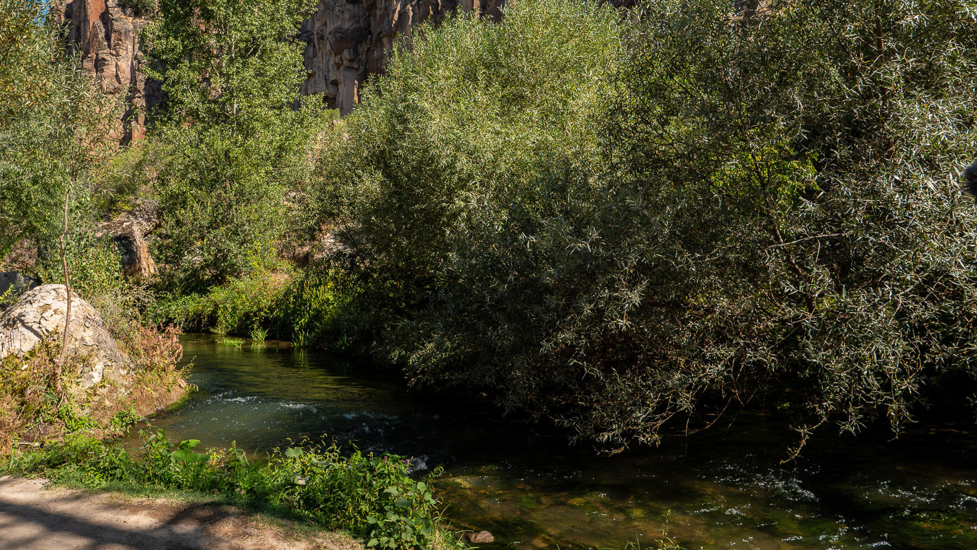
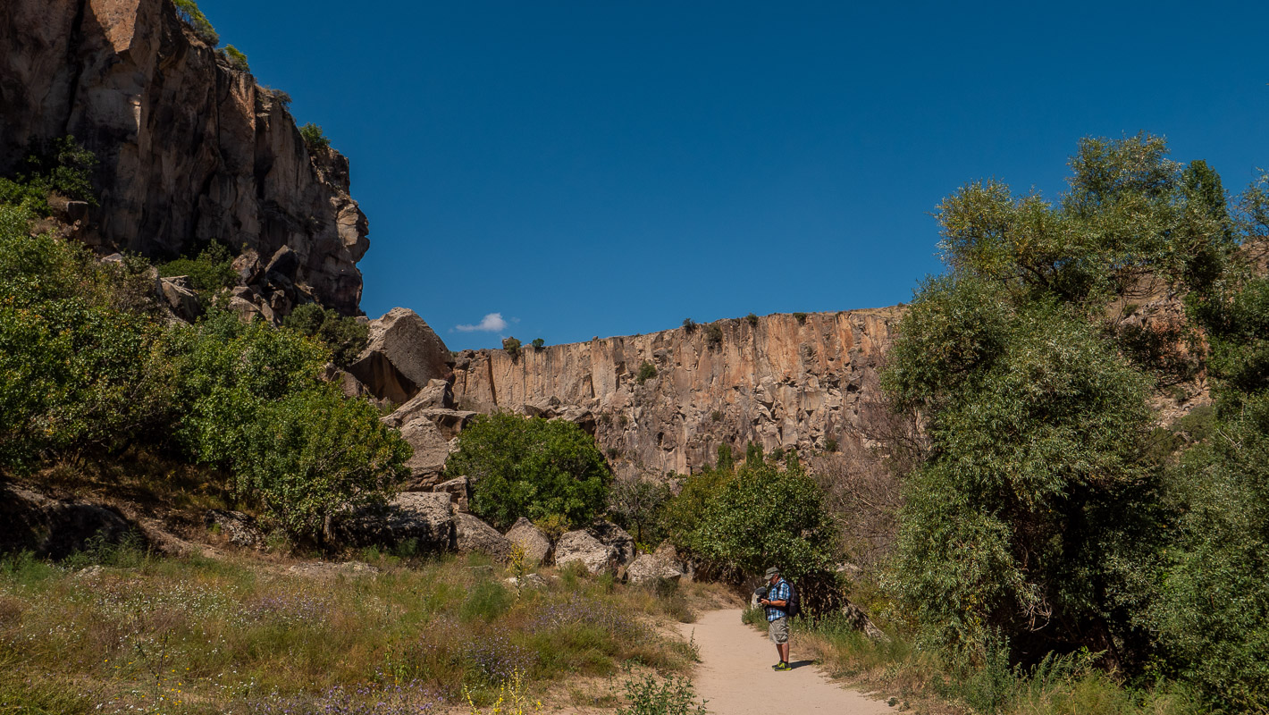
On the way to the heart of Cappadocia, we pass the Ihlara Gorge – a jewel in the Cappadocian steppe. The gorge is up to 150m deep with steep walls. The Melendiz river probably originally ran underground, eroded the soft rock more and more and finally formed this gorge, whose rock walls rise up to 150 meters, by the collapse of the ceiling.
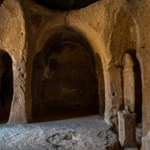
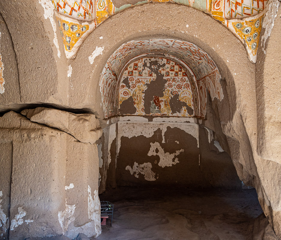
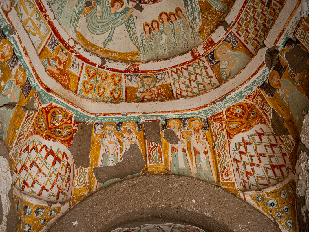
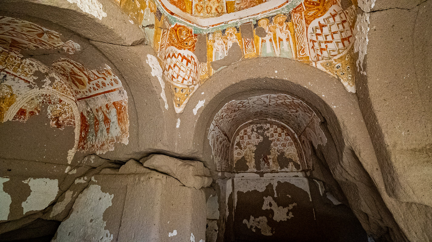
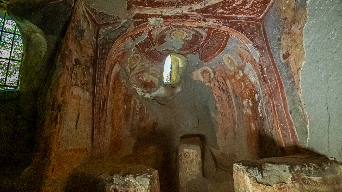
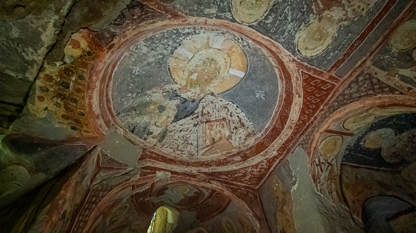
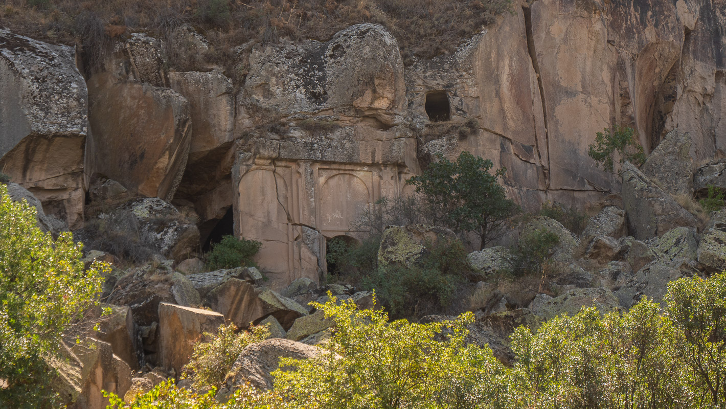
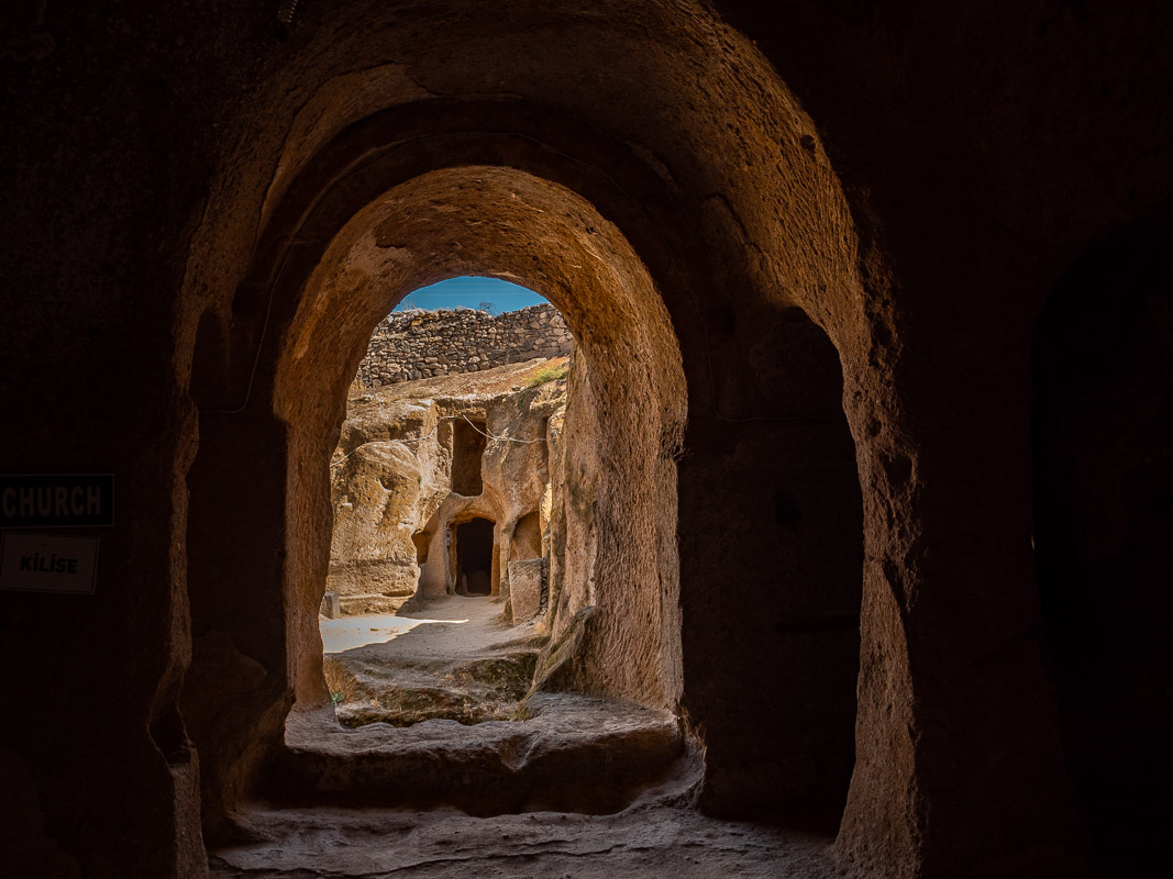
Around 800 AD, Byzantine monks sought protection from persecution by the increasingly invading Arabs and settled in the Ihlara Gorge. Around 50 rock churches have been found in the gorge to date. Some of them are accessible. We will limit ourselves to the three best-preserved churches.
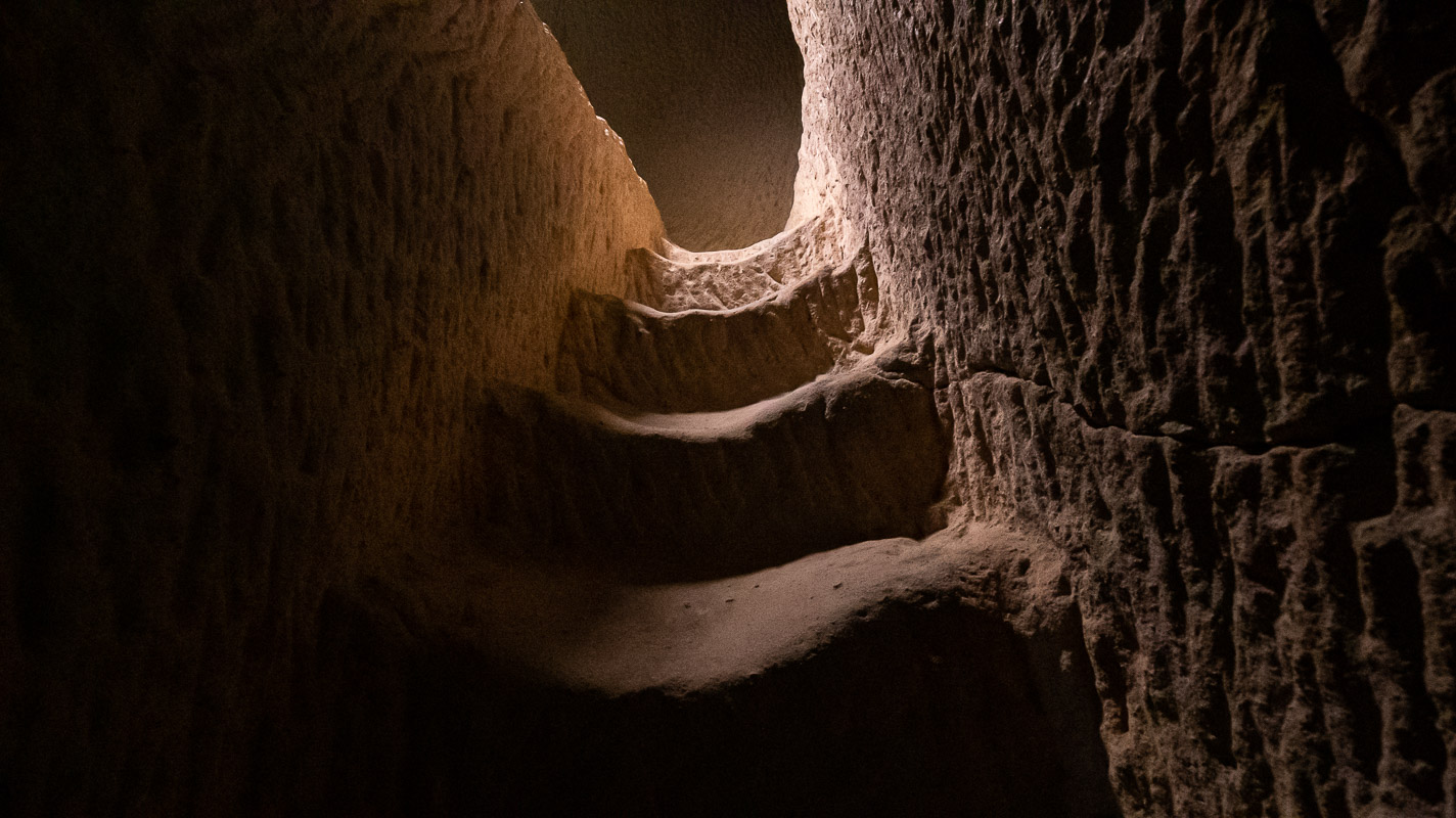
Over 300 steps take you down more than 100 meters into the gorge. But that sounds worse than it is, as the steps are very pleasant to walk on.
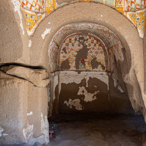
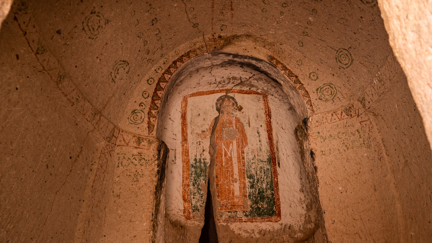
Agacalti Kilisesis
It is considered to be the oldest church in the valley and was probably painted in pastel colors by an inexperienced hand. The pictures show the resurrection of Jesus.

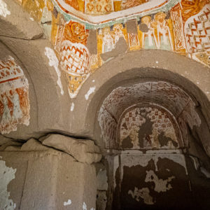
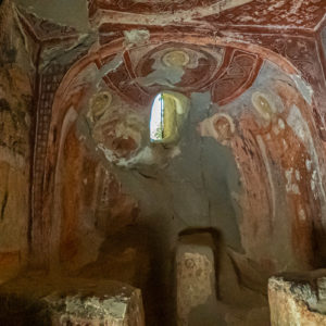
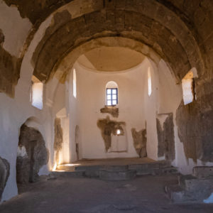
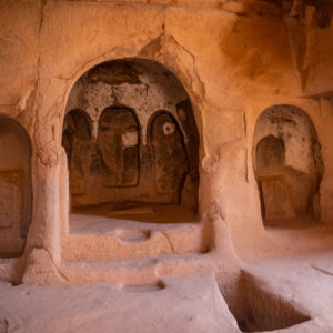
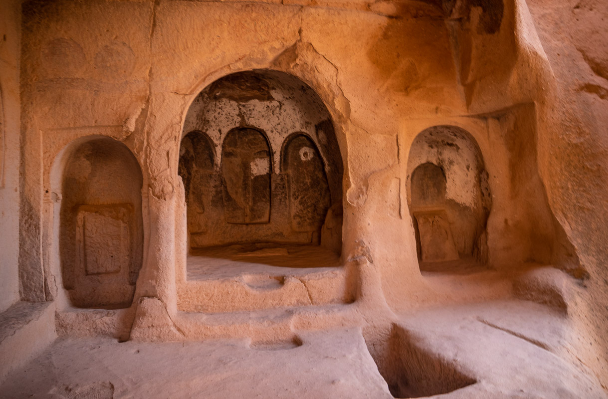
Sümbüllü Kilise
It has a hewn exterior façade. The interior was once decorated with ornaments. Frescoes can be found in the small chapel next door. The actual church interior was located on the upper floor, which is accessible via a narrow, well-worn staircase.
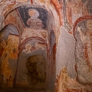
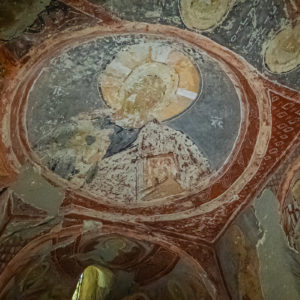
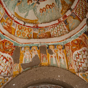
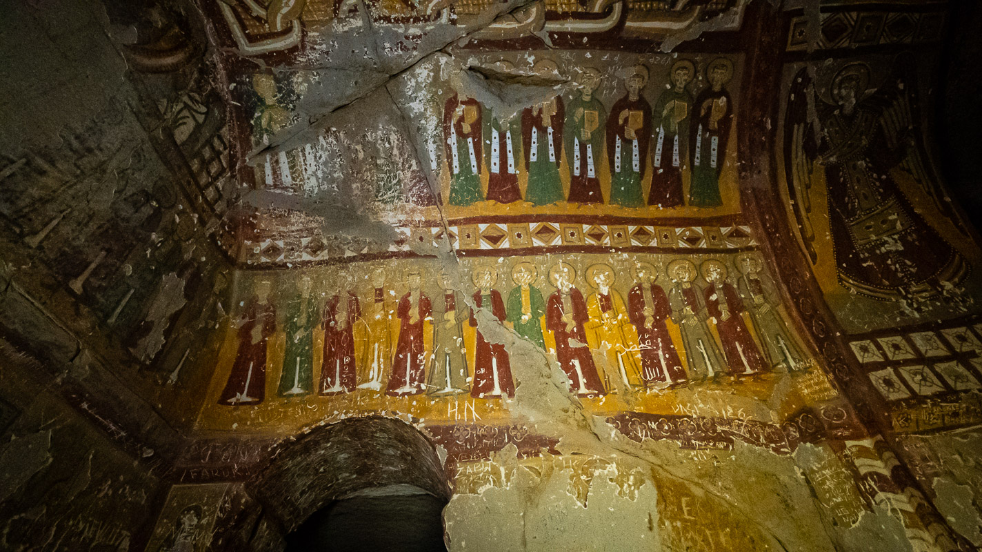
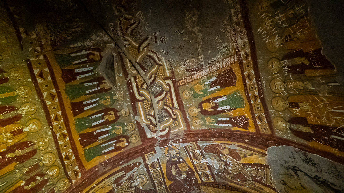
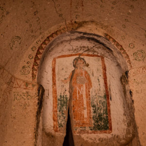
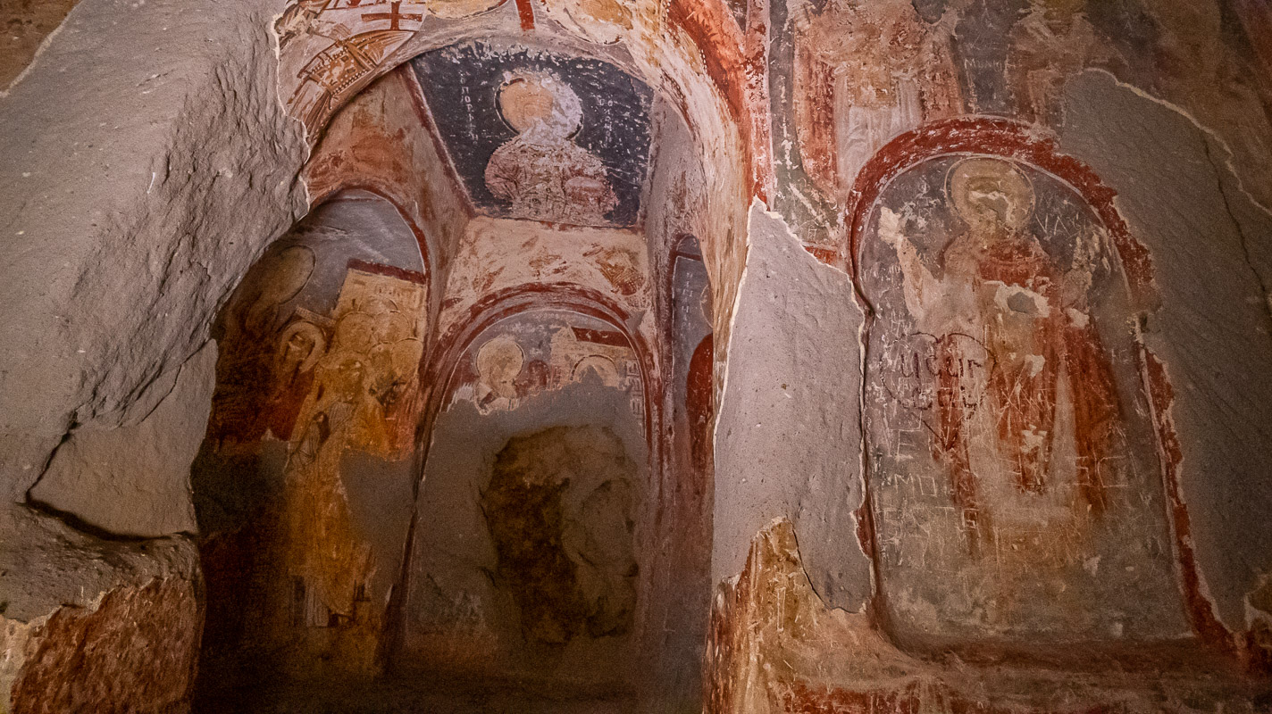
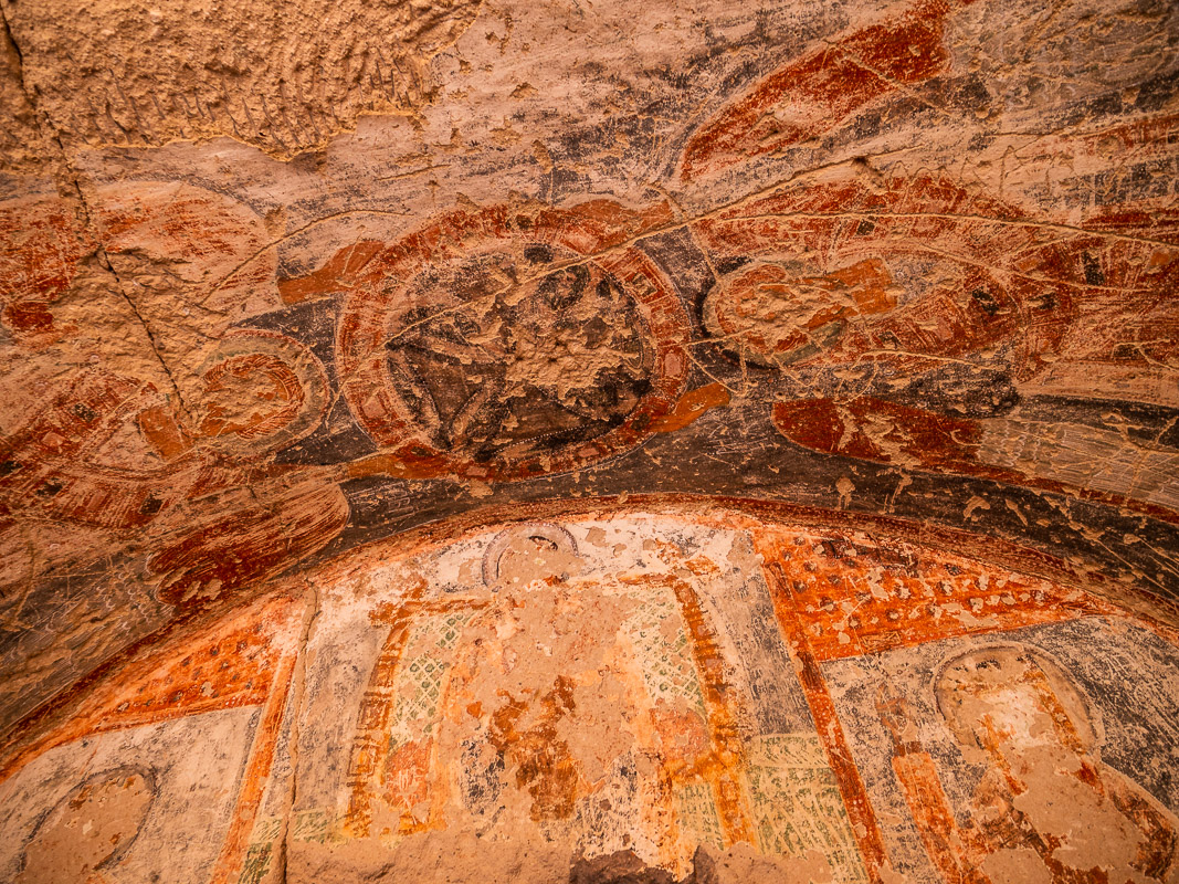
Yilanli Kilise
It is the largest of the churches visited. Their interior décor is painted in bold colors. But it is pitch black in this church and we can only take photos at all thanks to an LED spotlight. The pictures show all kinds of “saints” and martyrs as well as an angel with a pair of scales in which sins are weighed.


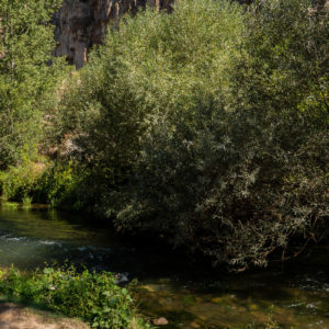
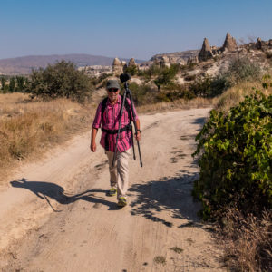
Hike through the Ihlara Gorge
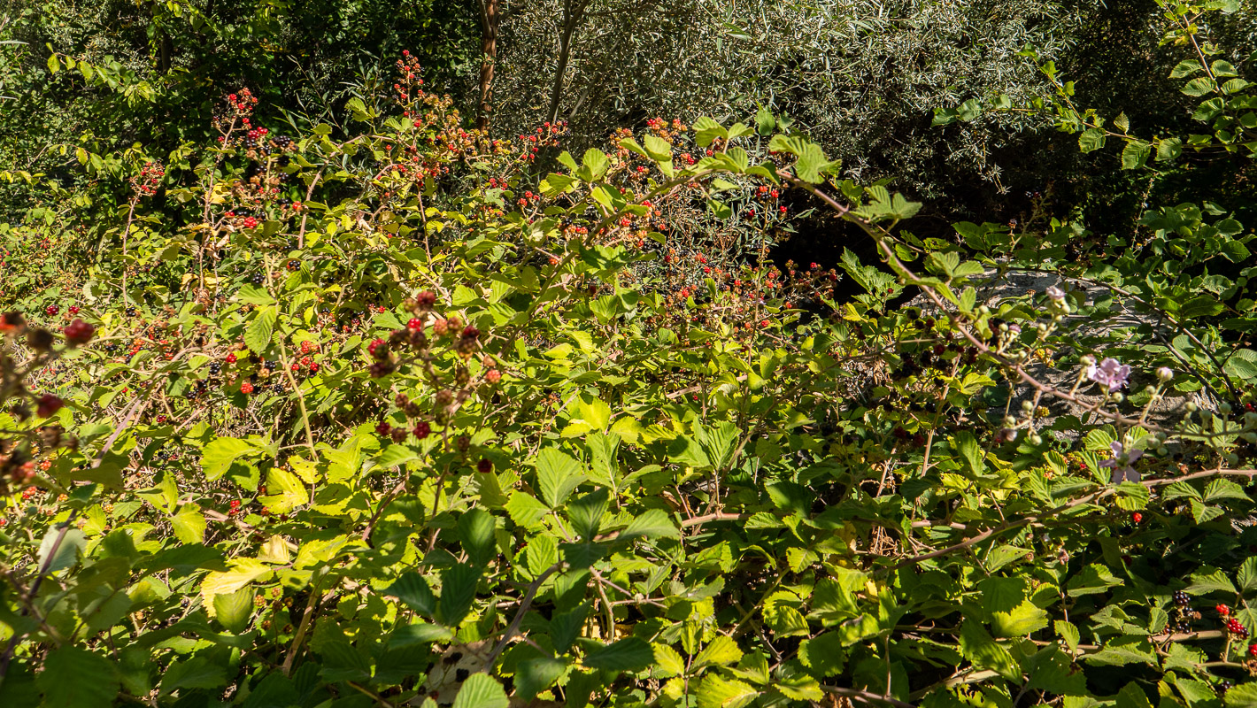
After visiting the church, we enjoy the 3 km hike down the gorge to the village of Belisirma, from where we take a cab back to the main entrance for 25 lira. The gorge is densely overgrown and the flowing water is good after many dry landscapes. In the middle of the nature reserve we come to a “buffet” – 1001 buffets, we think. You can hardly go anywhere without there being someone there who wants to do business with a buffet. This is also the case here. Fruit juices, drinks and small meals are served.
On the way to the heart of Cappadocia
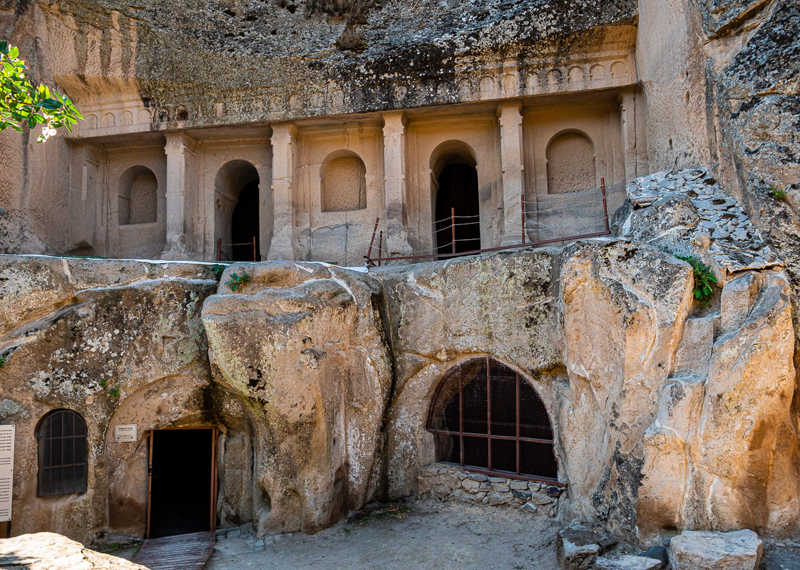
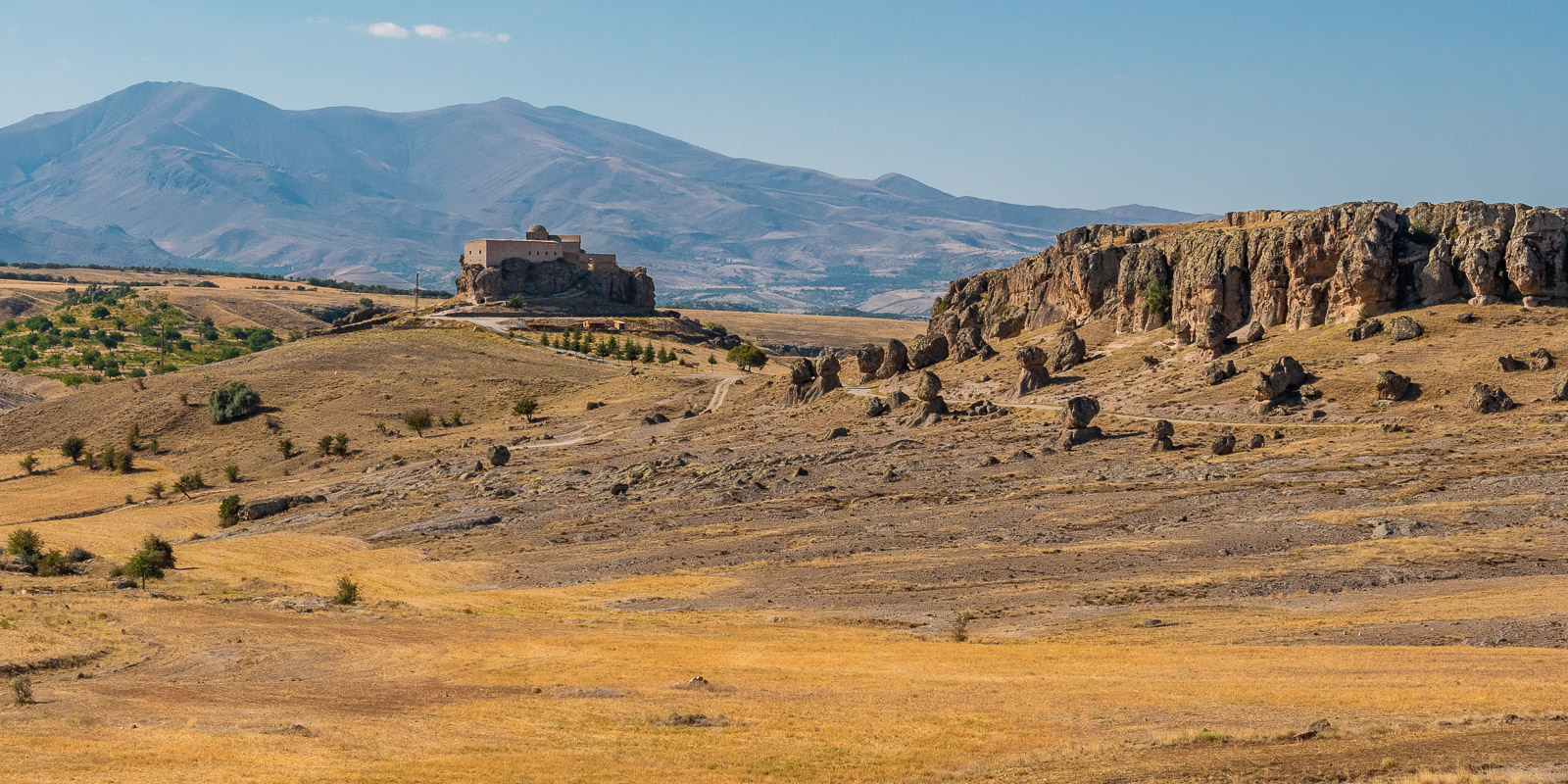
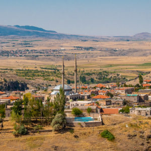
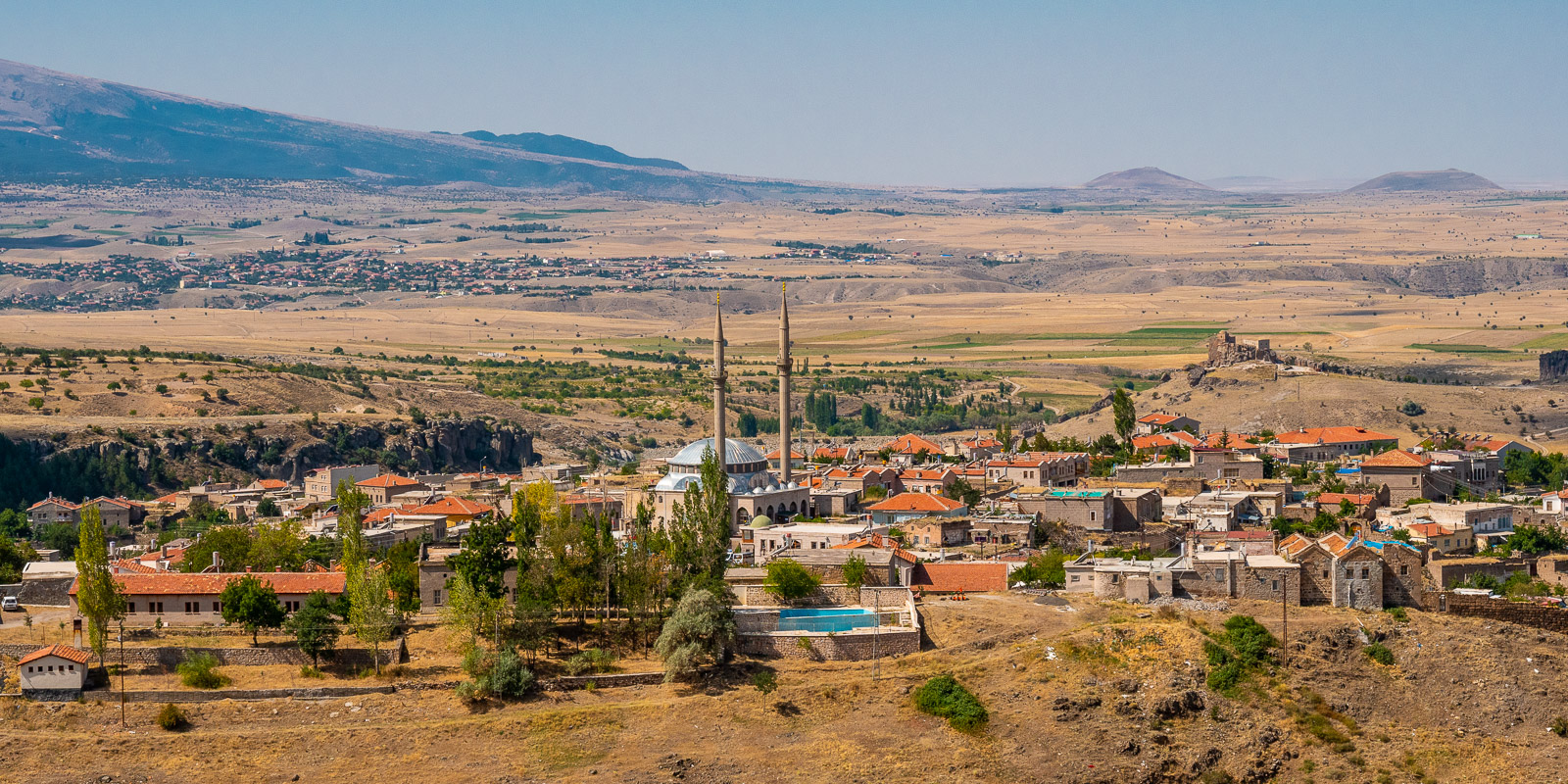
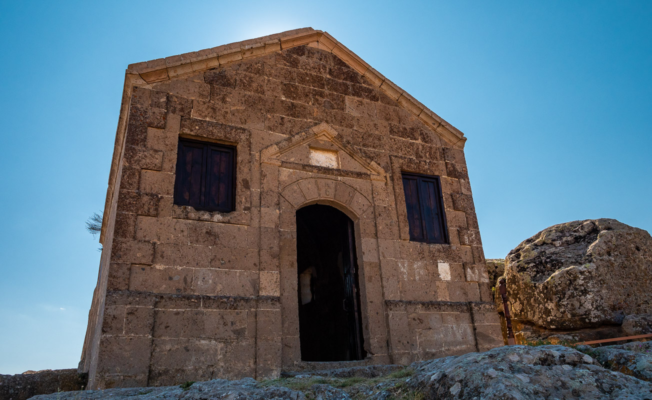
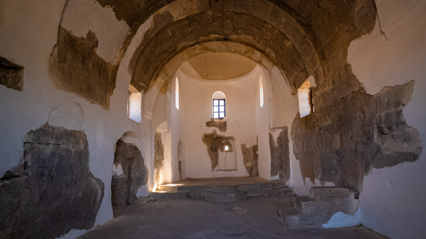
Güzelyurt
Until the First World War, 1000 Greek and 50 Islamic families lived together in Güzelyurt. Next to the monastery valley, which we did not visit, is the Yüksek Kilise, also known as Analipsis Church, in a beautiful landscape. It was built towards the end of the 1800s, has several monks’ cells in an adjoining building and is still in fairly good condition. The frescoes have been painted over in white so that it looks like a simple mountain church without embellishments. We enjoy the peace and quiet and the sweeping views as far as the Hasan Dagi volcano, which helped to shape this landscape.
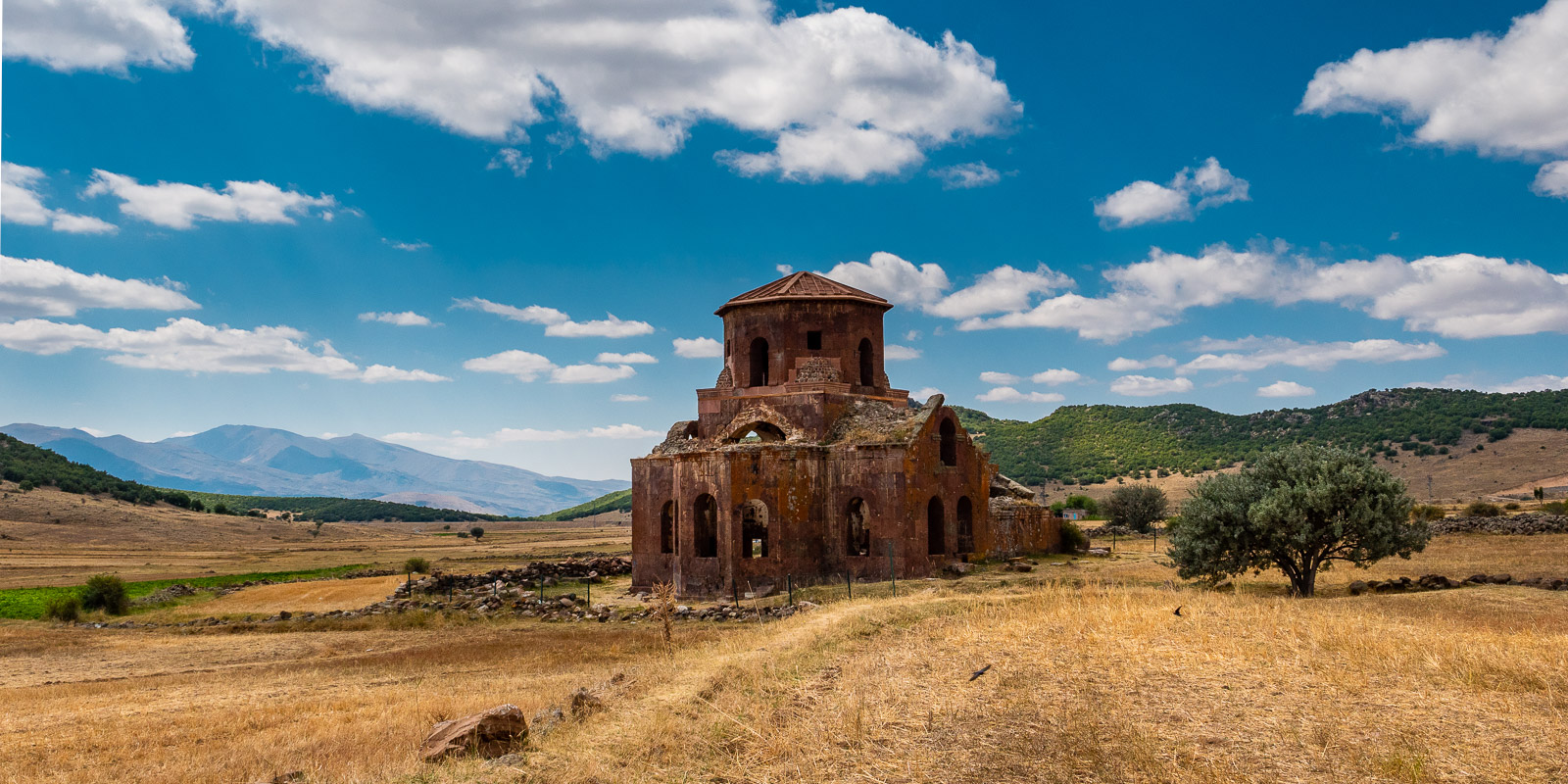
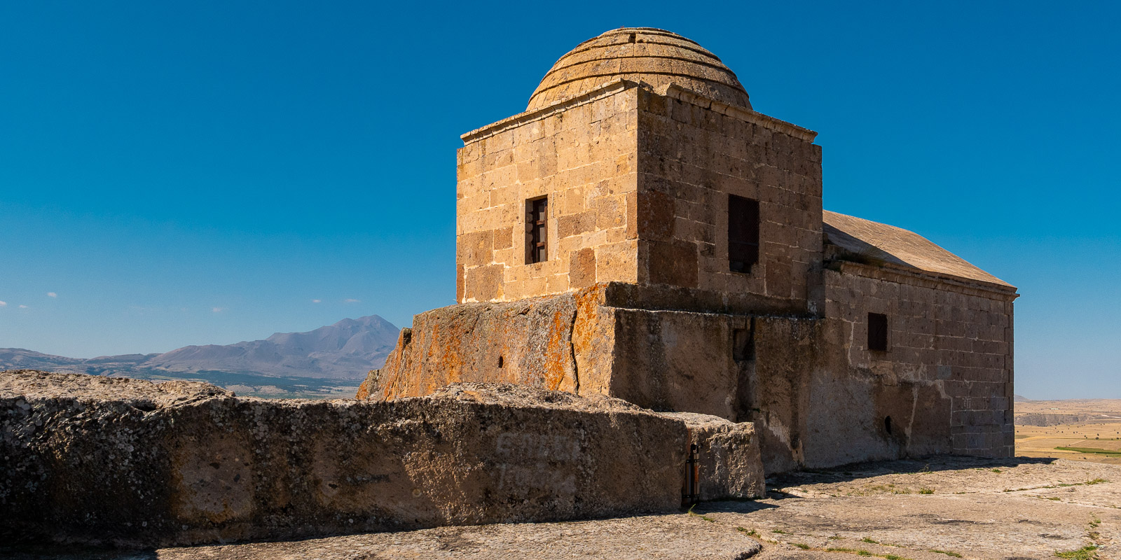
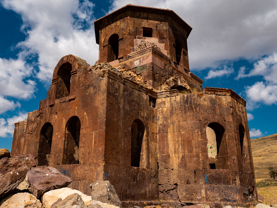
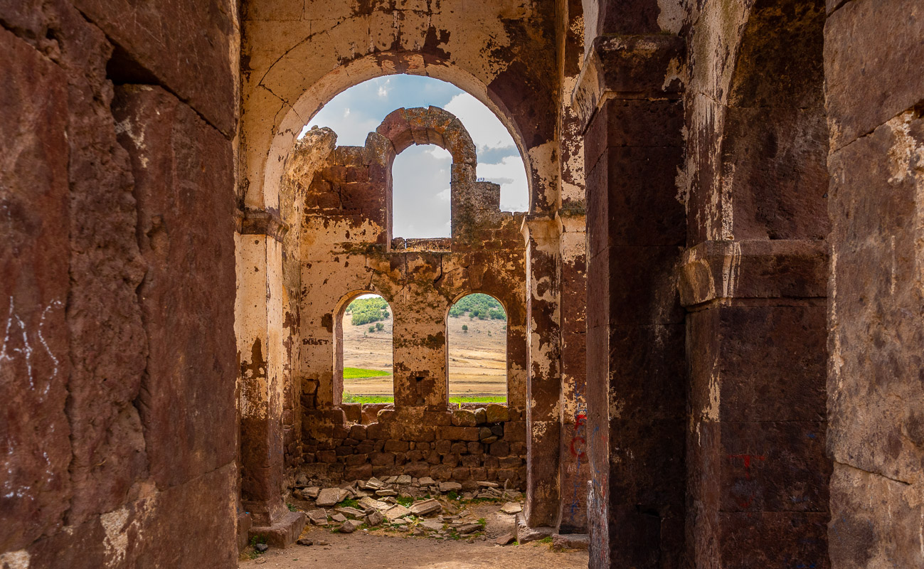
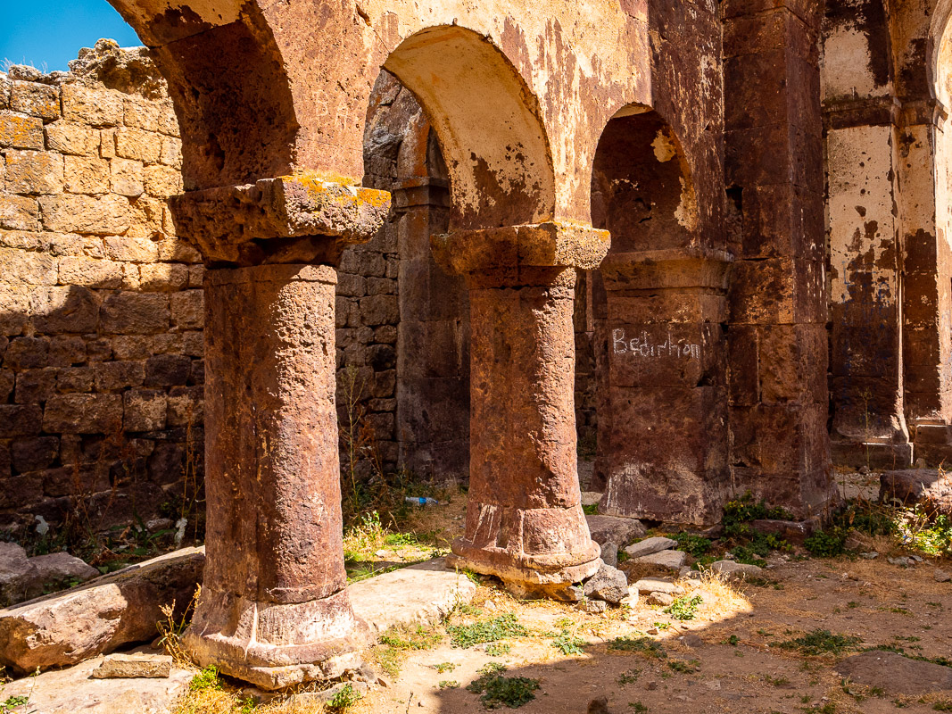
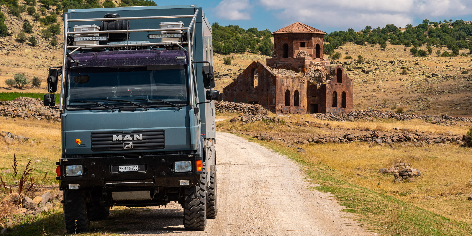
Ennet the 1770m high Sivrihisar Pass, on the left hand side on an open field stands the Red, the Kizil Kiliese, a Byzantine long cross church built between the 5th and 7th century. It still stands, but is no longer in good condition and spray-painted lettering adorns the once pretty building. All in all, however, it is also synonymous with transience. What’s more, the countless cave and free-standing churches raise the question: How many churches do people need?
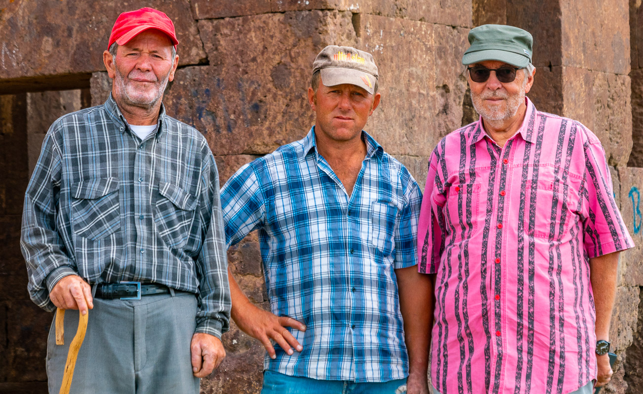
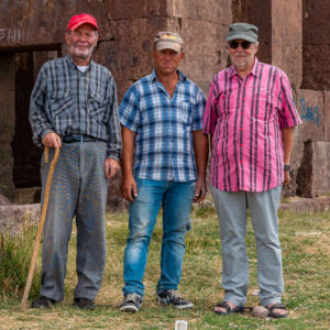
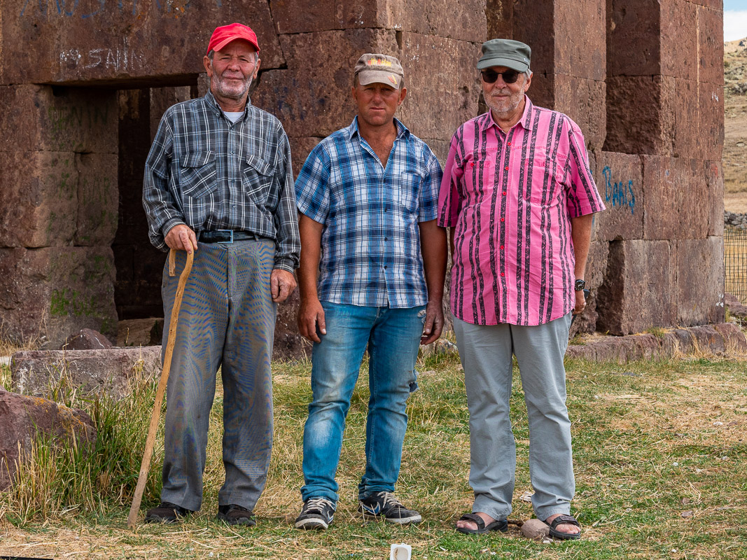
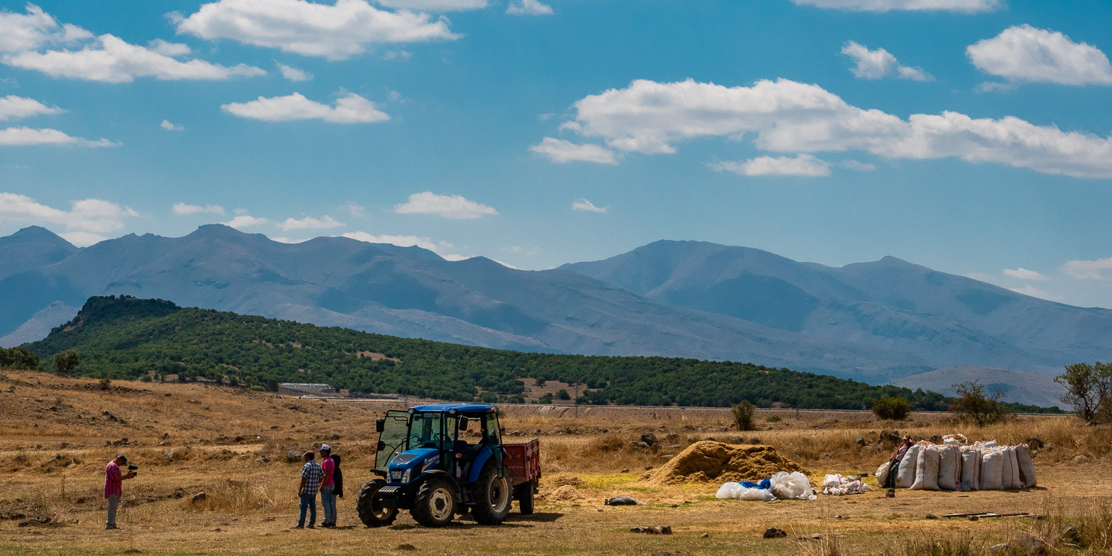
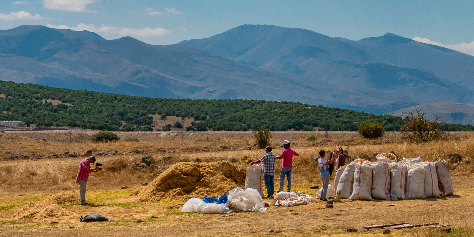
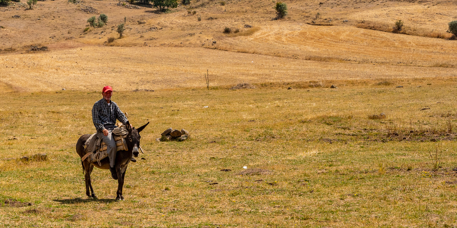
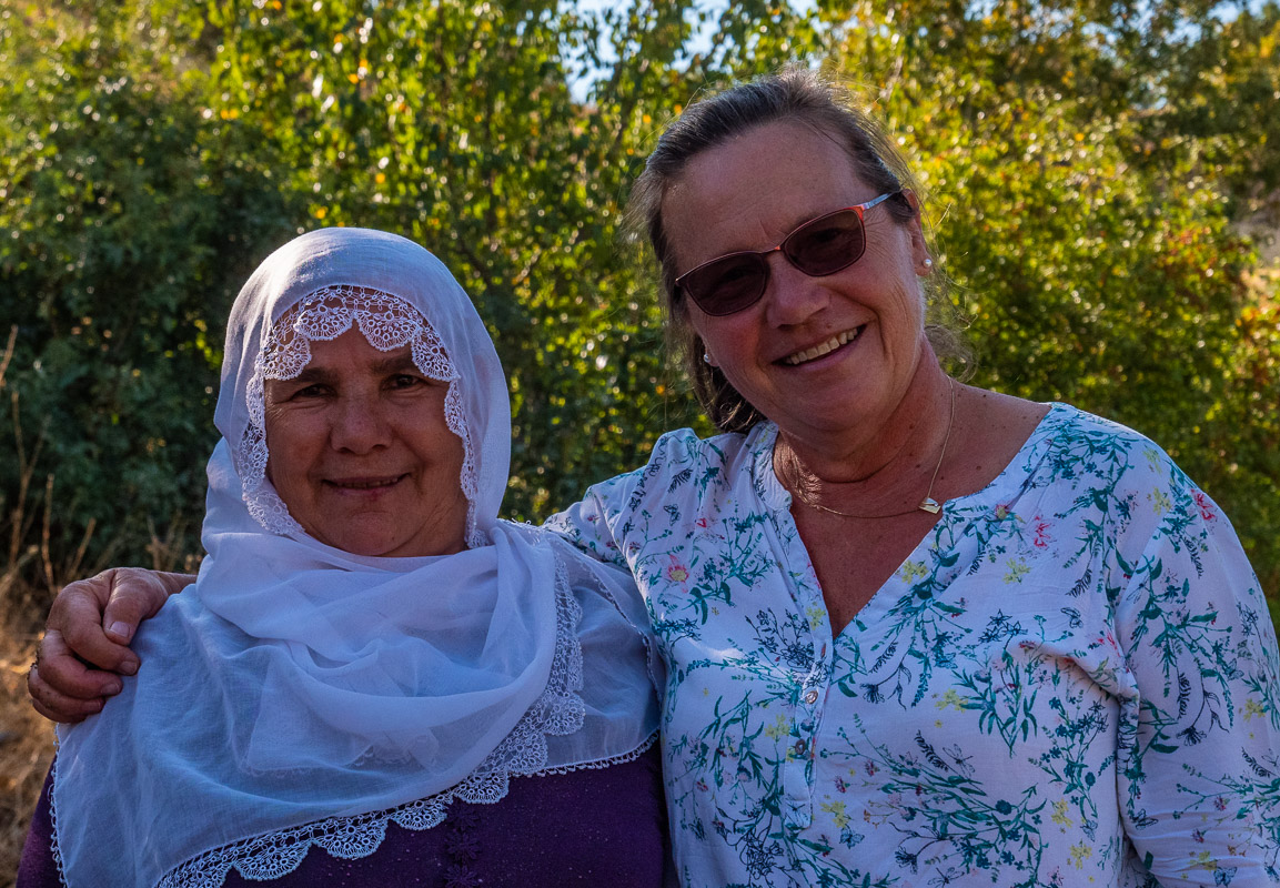
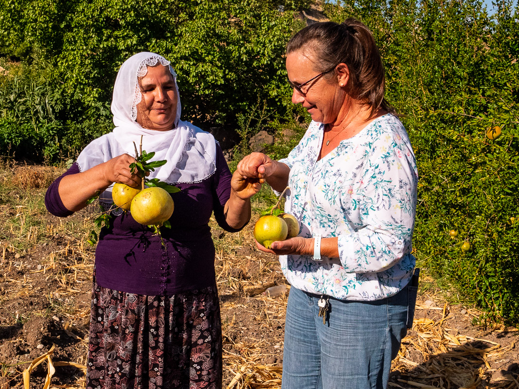
Cordial people
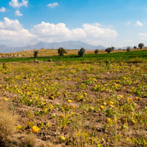
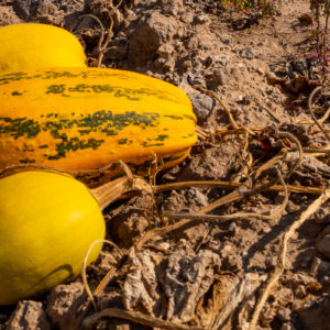
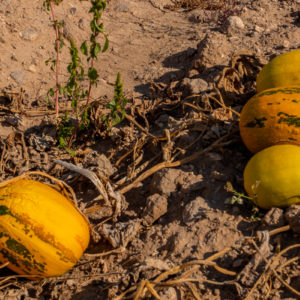
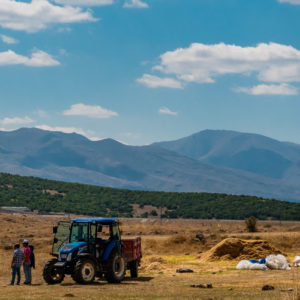
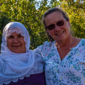
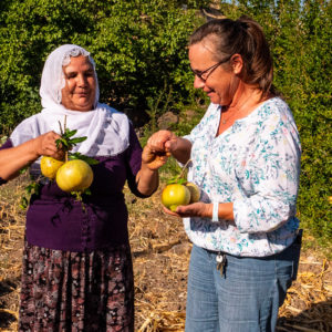
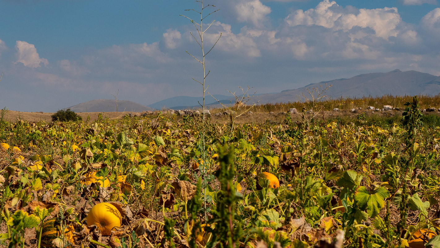
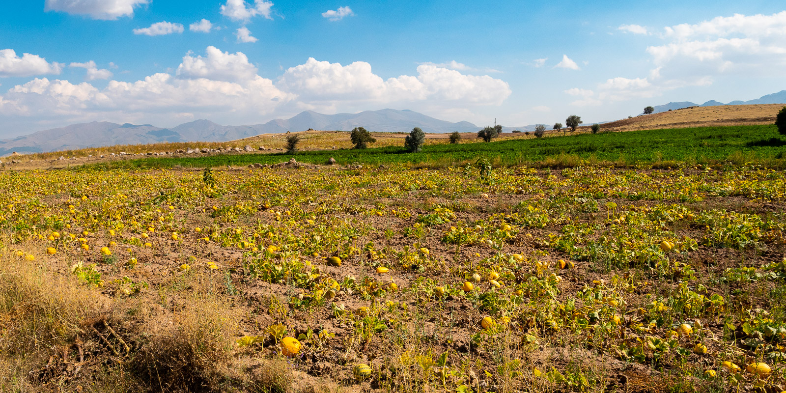
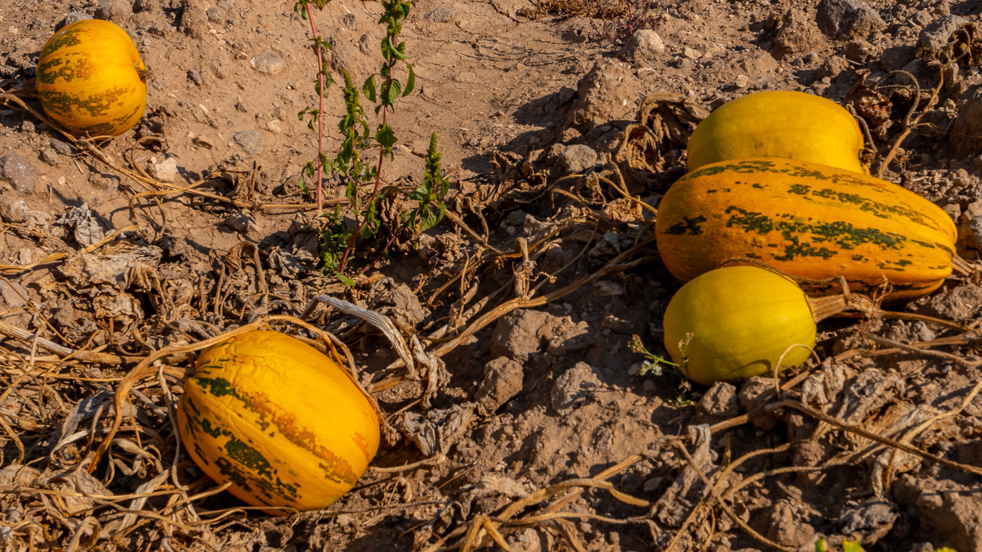
At Kizil Kiliese, we once again meet warm-hearted people. Simple farmers tend a few kitchens and fill sacks with chaff from the grain harvest. We have had similar lovely encounters before. A farmer who spontaneously gives us a melon for no reason, another who greets us as we stand in a field taking photos, nomads who wave warmly to us and many more …

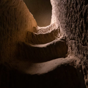
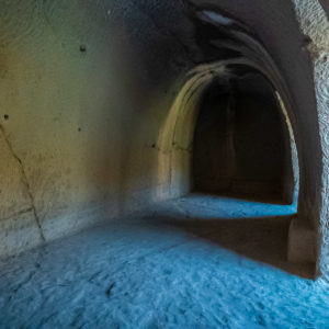
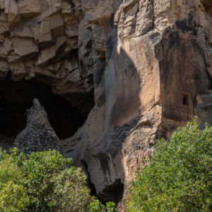
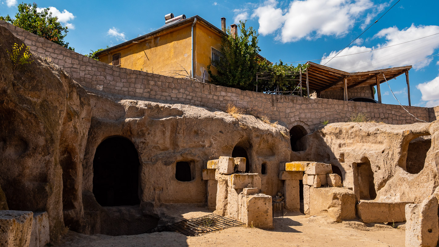
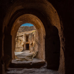
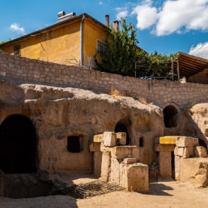
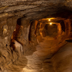
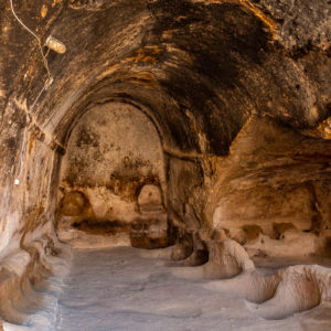
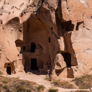
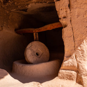
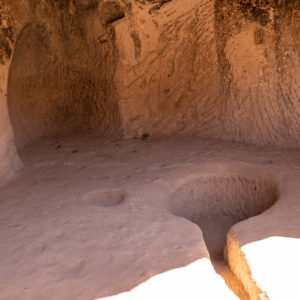
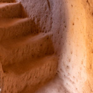
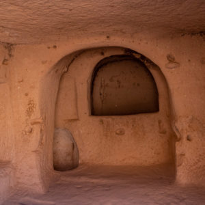
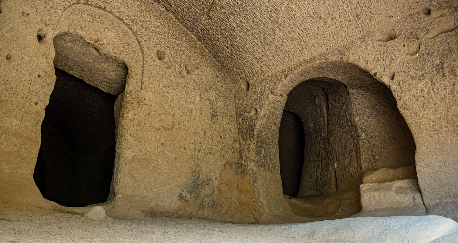
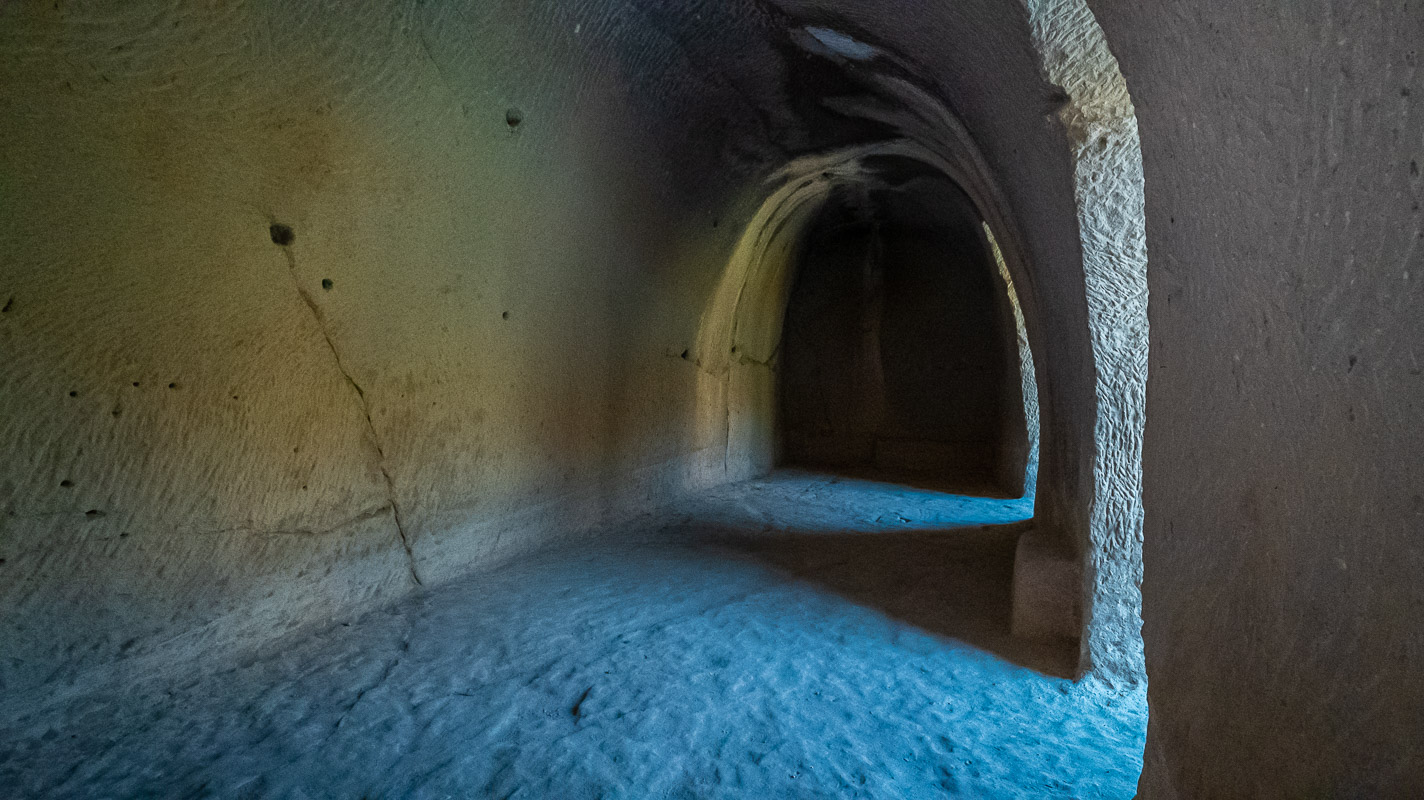
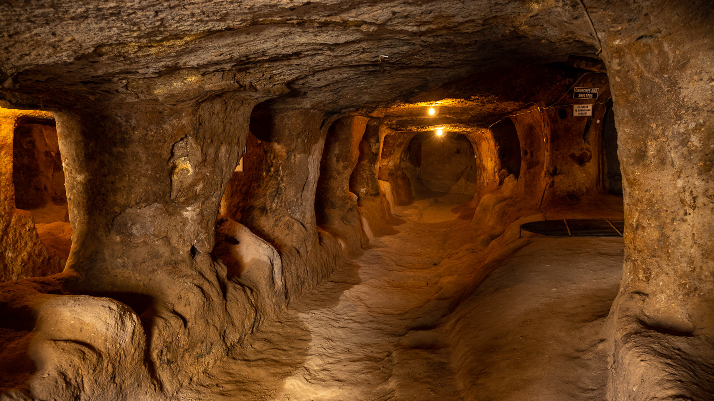
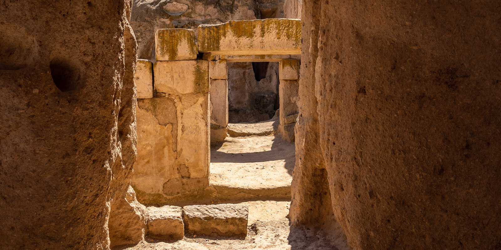
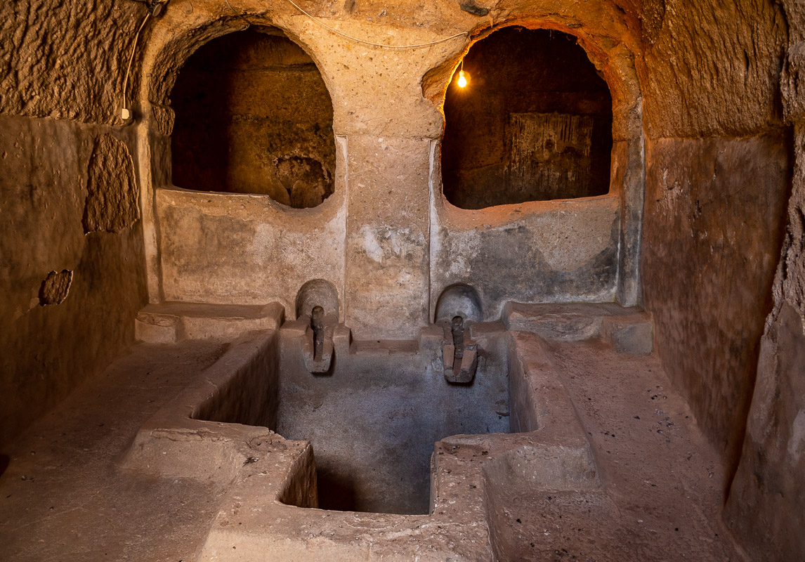
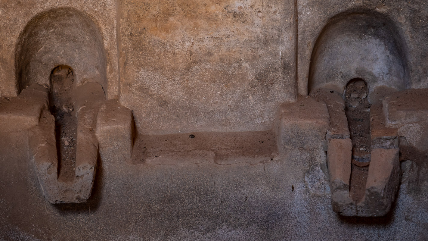
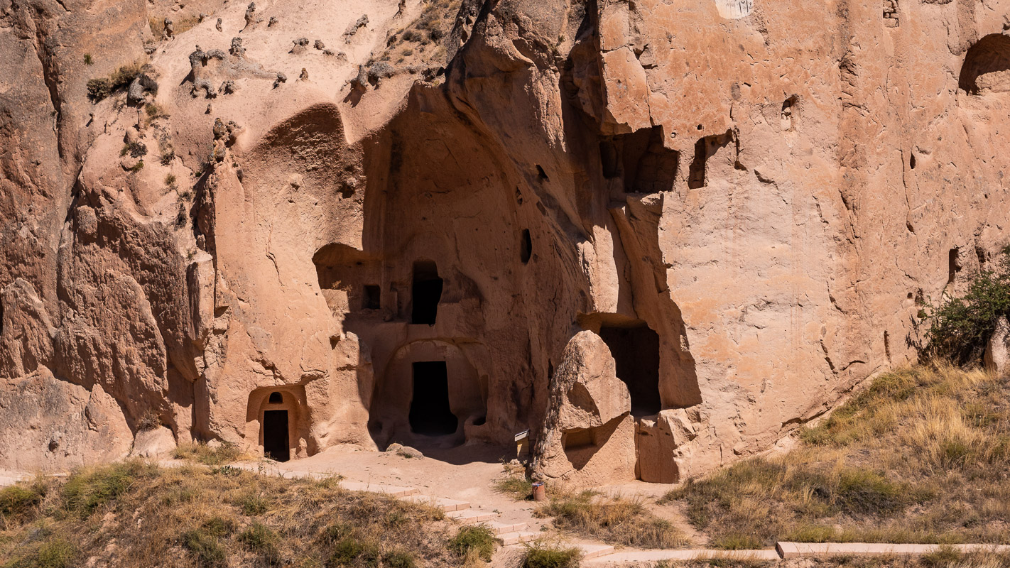
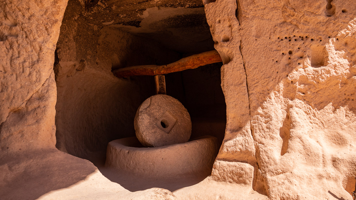
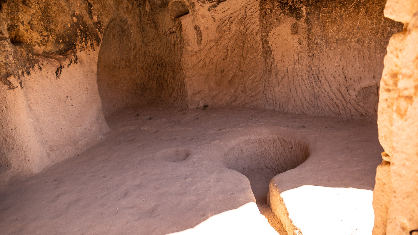
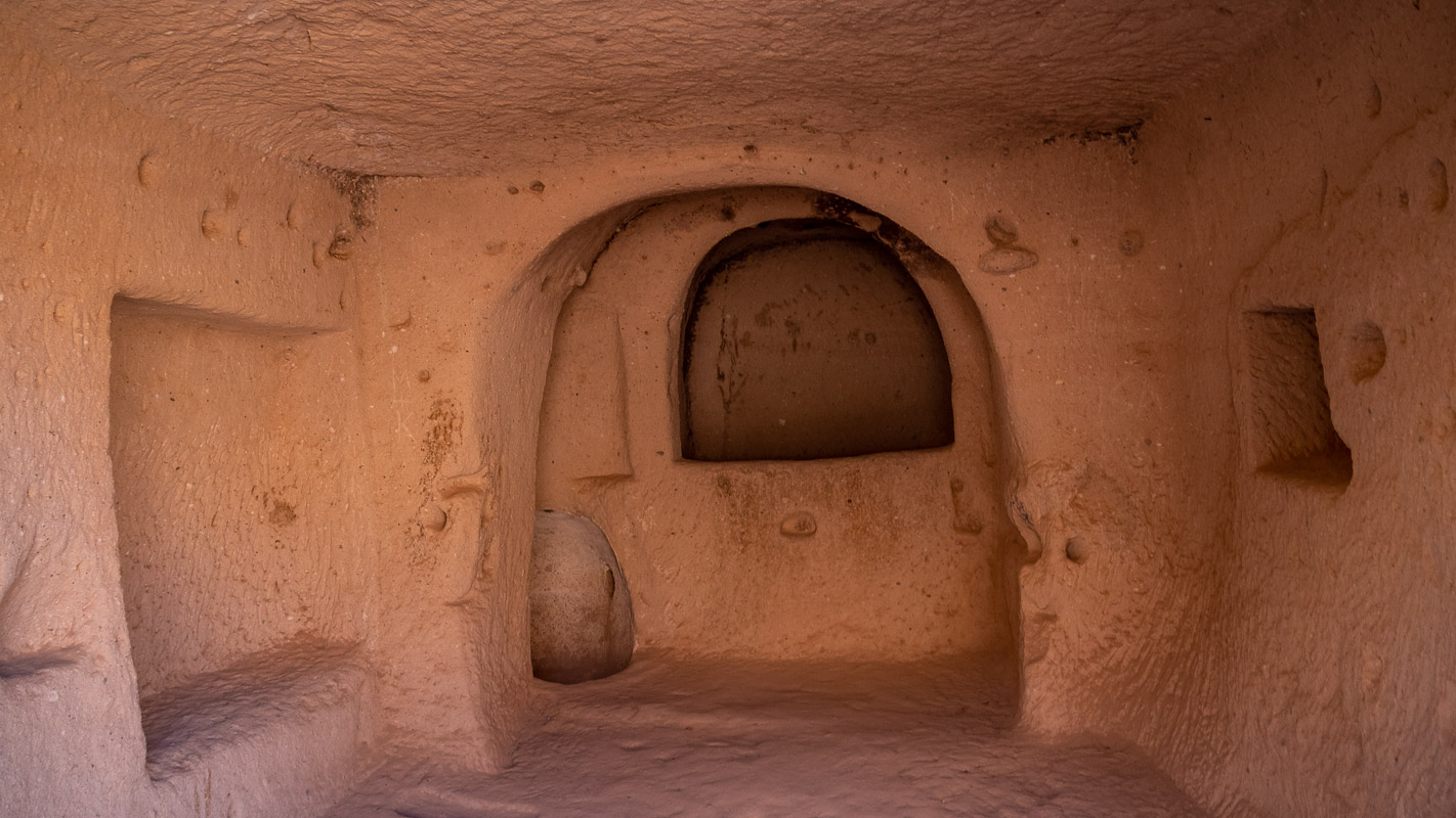
Gaziemir underground city
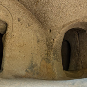
There are underground towns not only in the heart of Cappadocia, but all over the region. Well, we think the word “city” is a bit of an exaggeration and would rather call it an underground settlement. The one in Gaziemir is well worth seeing, not least because the ceiling has partially collapsed, giving you a better idea of what a mole settlement looks like.
The stables offer space for at least 25 animals, each with its own feeding trough. For passing caravans there are guest stables for camels, a large kitchen, a wine press and much more. The way to the church was not far, as it was carved into the rock right next to the winery. Anyone who thinks that it must have stunk down here is mistaken, because the entire facility was ventilated and vented over several floors using a sophisticated system.

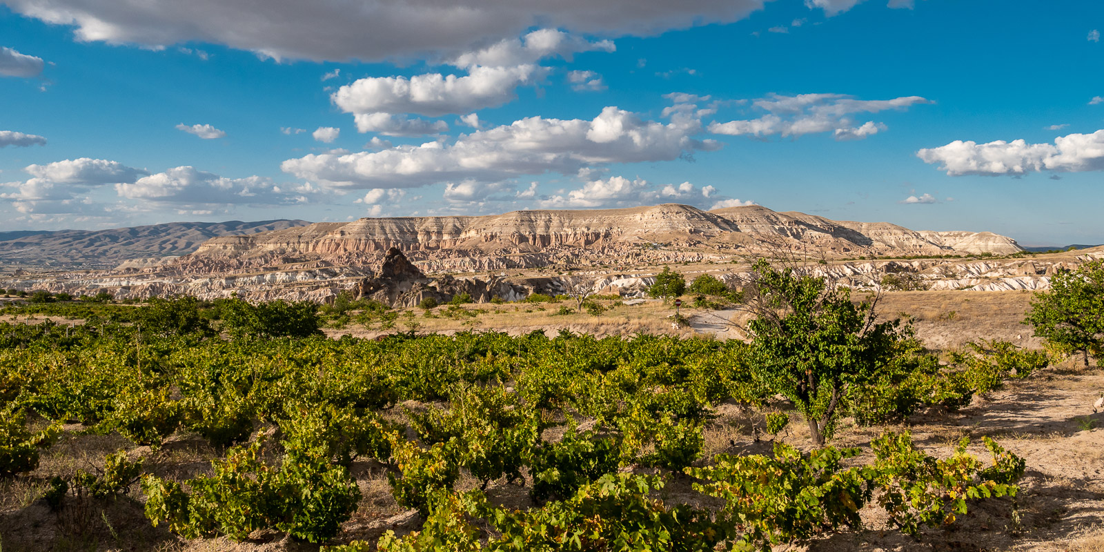
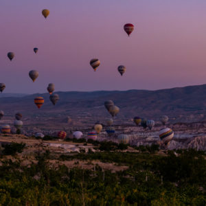
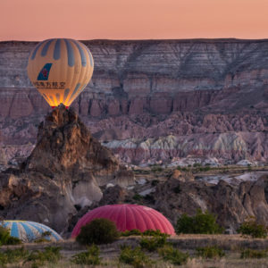
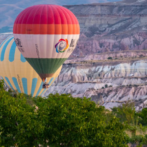
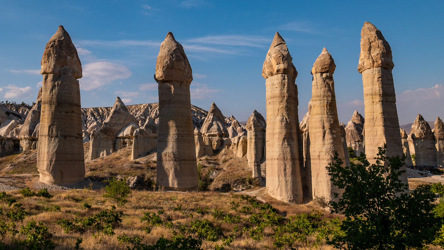
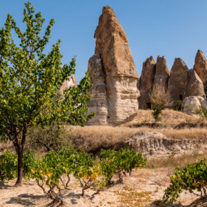
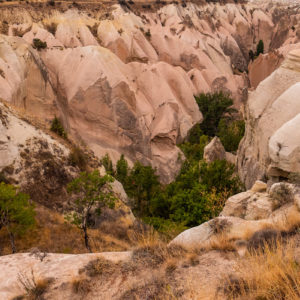
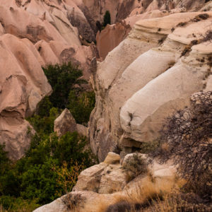
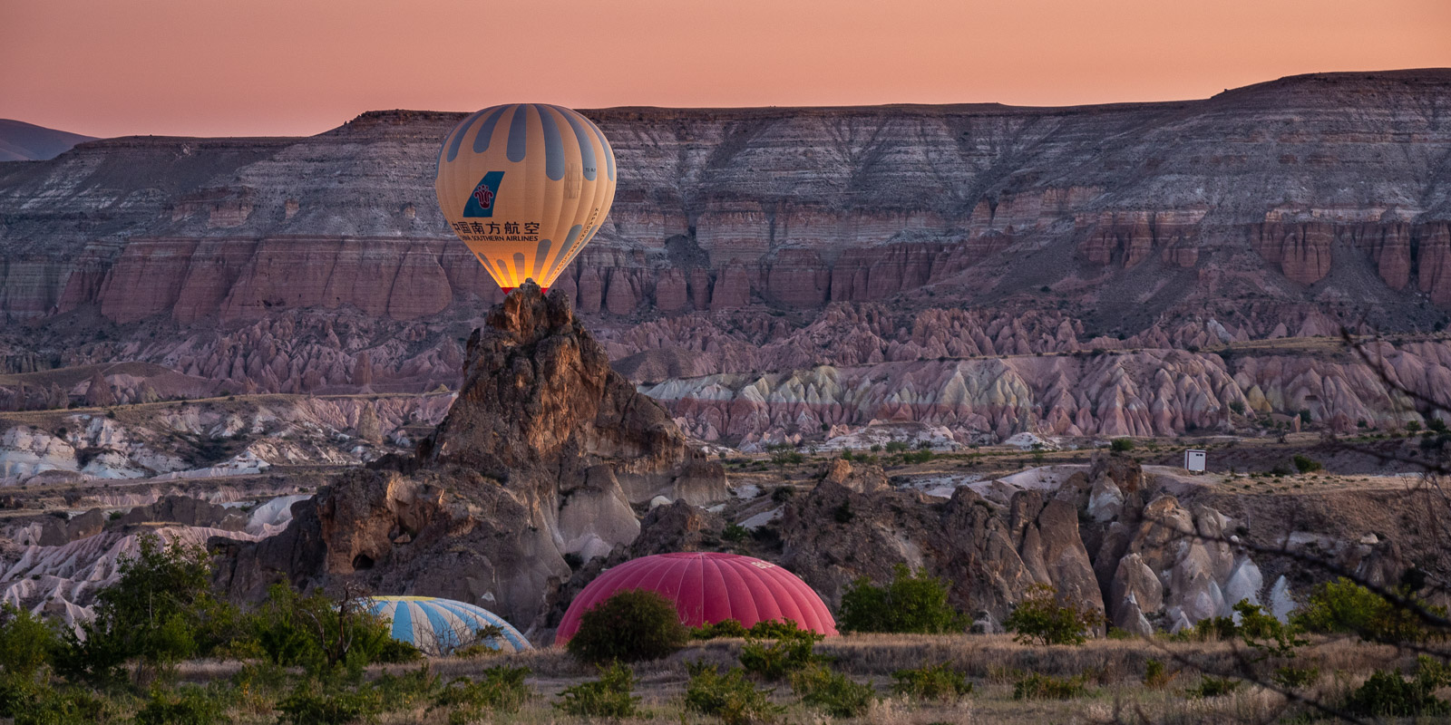
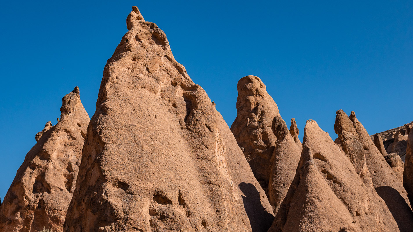
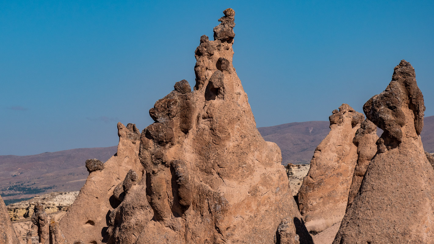
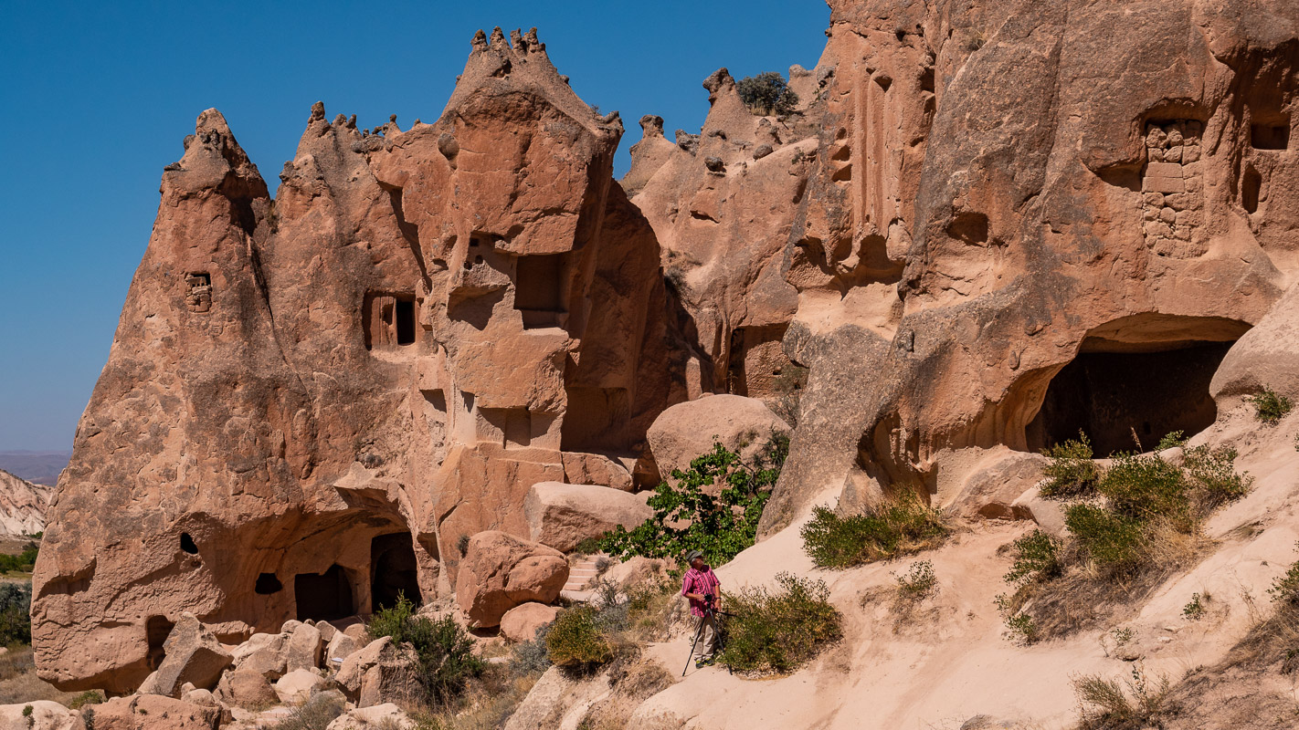
The heart of Capadocia
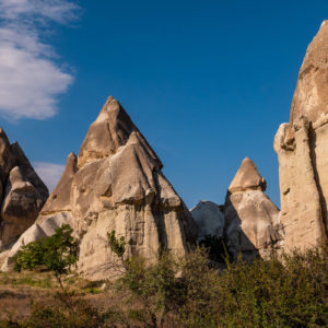
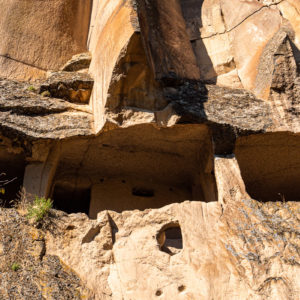
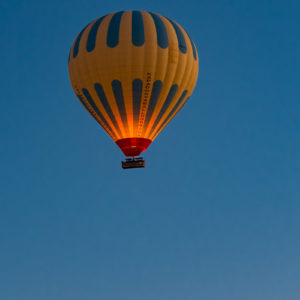
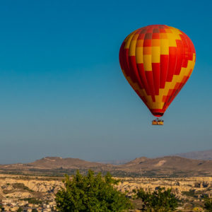
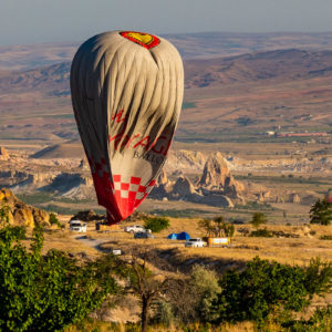
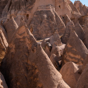
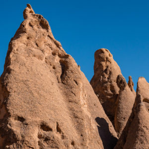
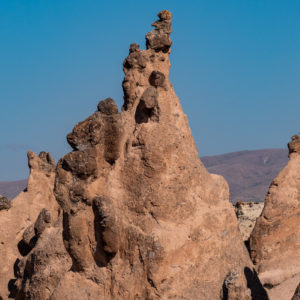
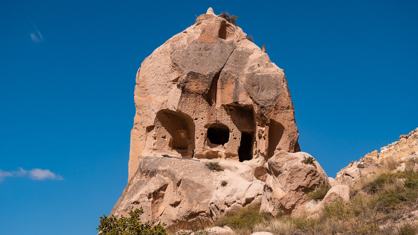
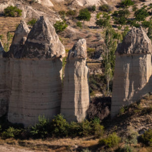
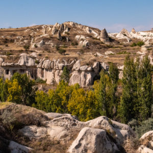
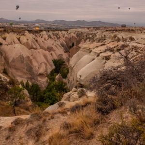
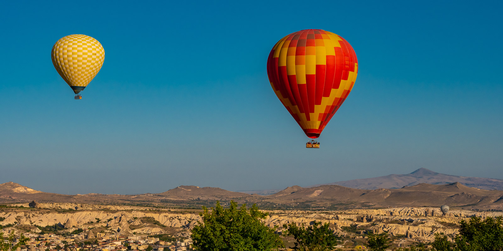
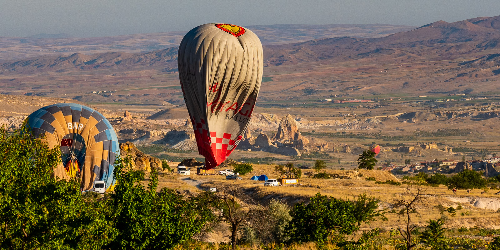
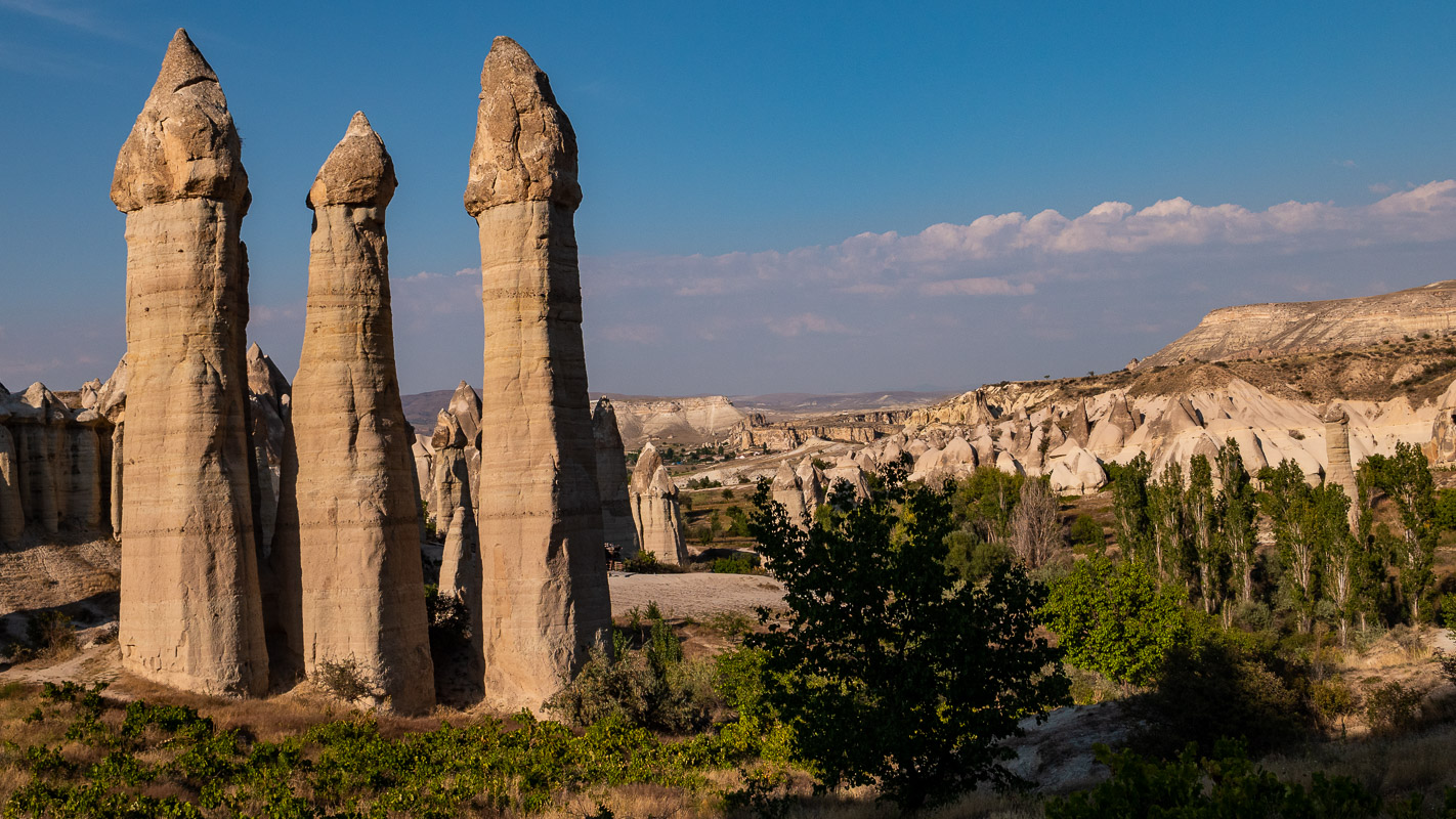
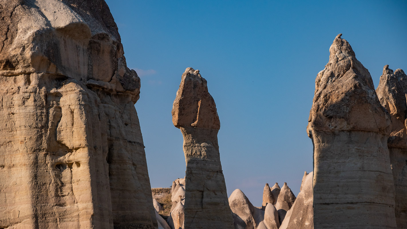
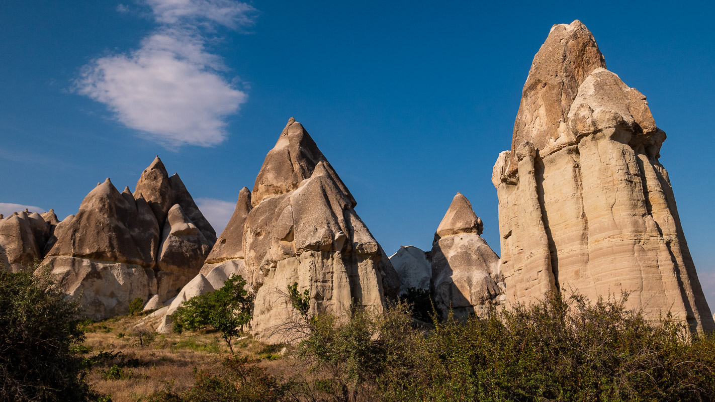
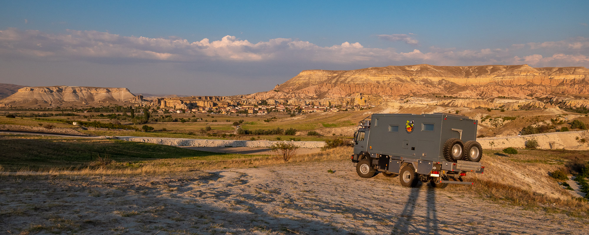
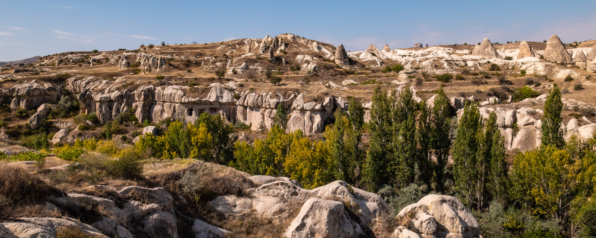
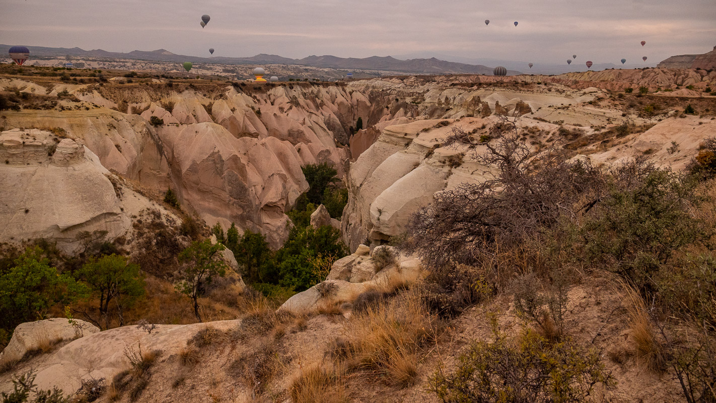
The heart of Cappadocia includes not only the most famous village of Göreme, but also half a dozen villages and small towns. This region is so fragmented that it is not easy to find your bearings at the beginning. The region consists mainly of a high plateau of tuff, which has been eroded at its edge, creating valleys of various colors and sculptures, and is still in the process of being formed. At the same time, this tuff was used to carve dwellings, workrooms and churches. These provided ideal hiding places on the one hand, but also air-conditioned rooms in summer and winter on the other. The region lies at an altitude of around 1200m. It gets very hot in summer and very cold in winter.
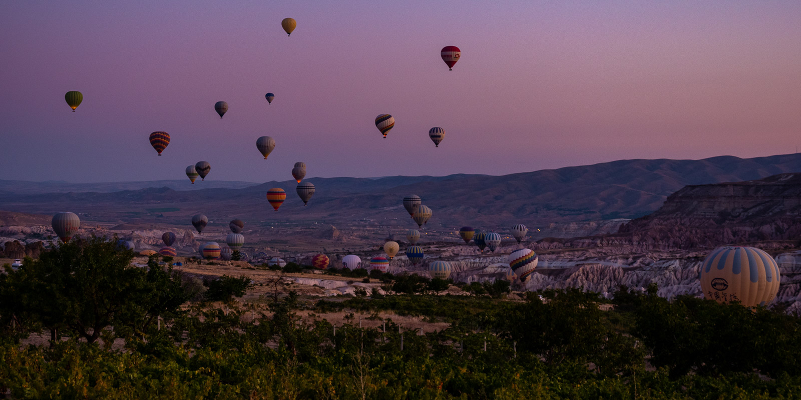
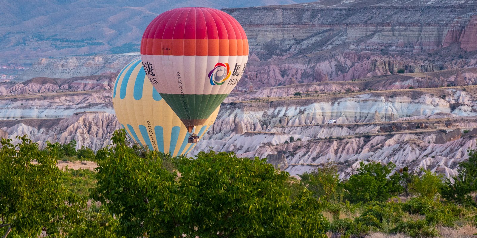
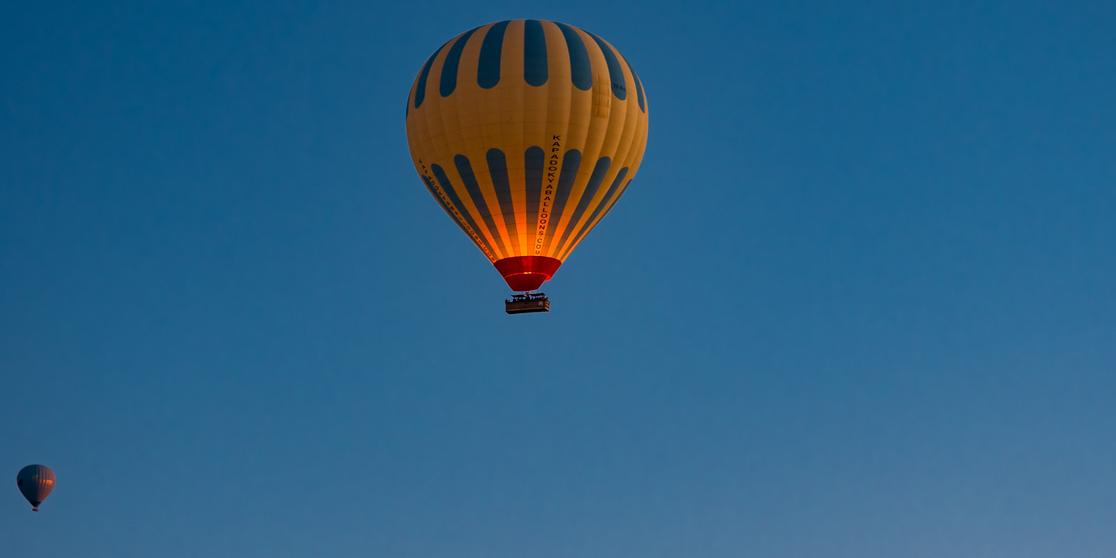
We first drive to the beautifully situated Kaya Camping, which has a really good infrastructure. Early in the morning, we are treated to a first-class spectacle as the 100 or so hot-air balloons glide almost silently over the landscape.

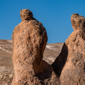
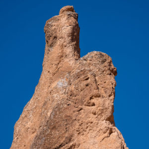
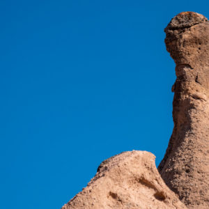
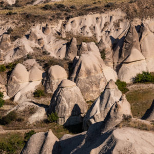
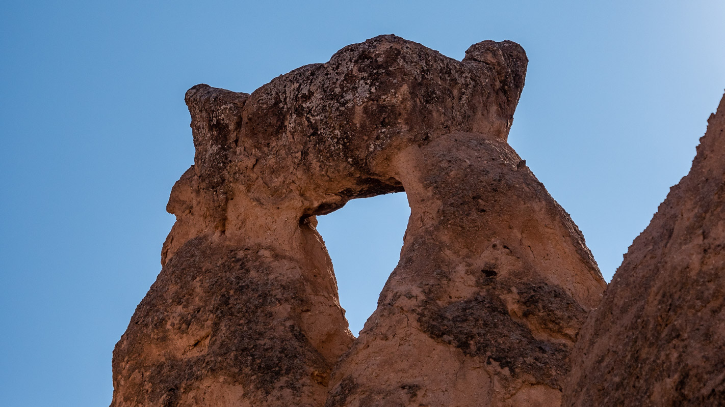
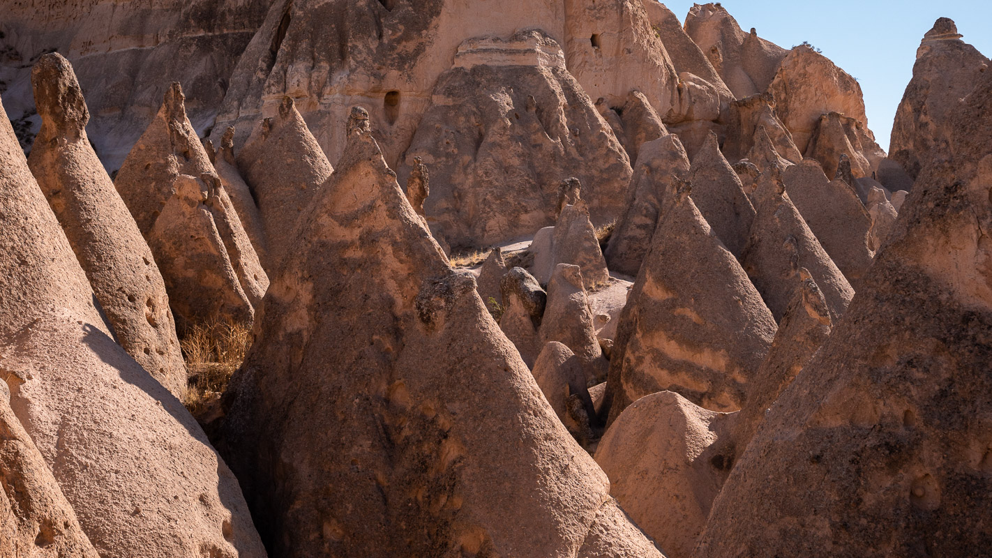
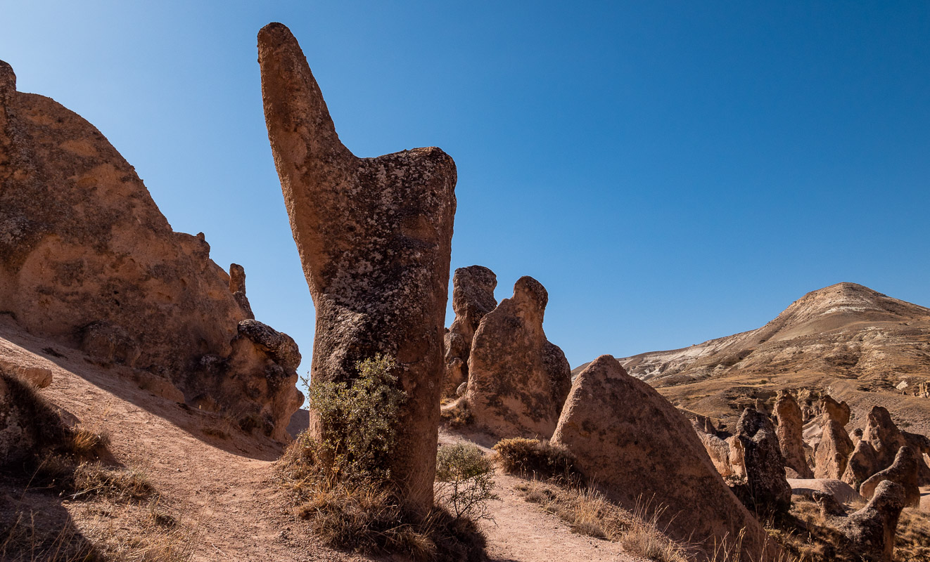
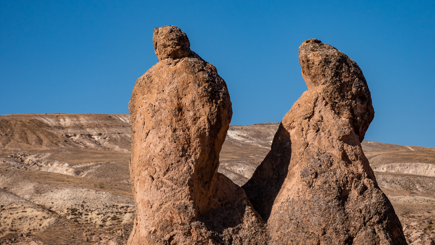
Devrent Valley
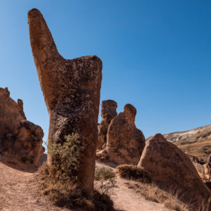
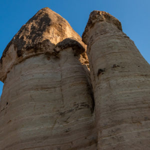
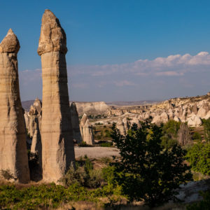
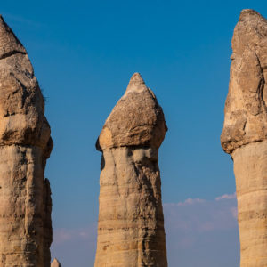
After a two-day stay at the campsite, we are drawn to the “freedom”. First we visit the Devrent Valley with its fairy chimneys. We didn’t see any fairies, but we did see some sculptures resembling a seal, camel, index finger, etc.

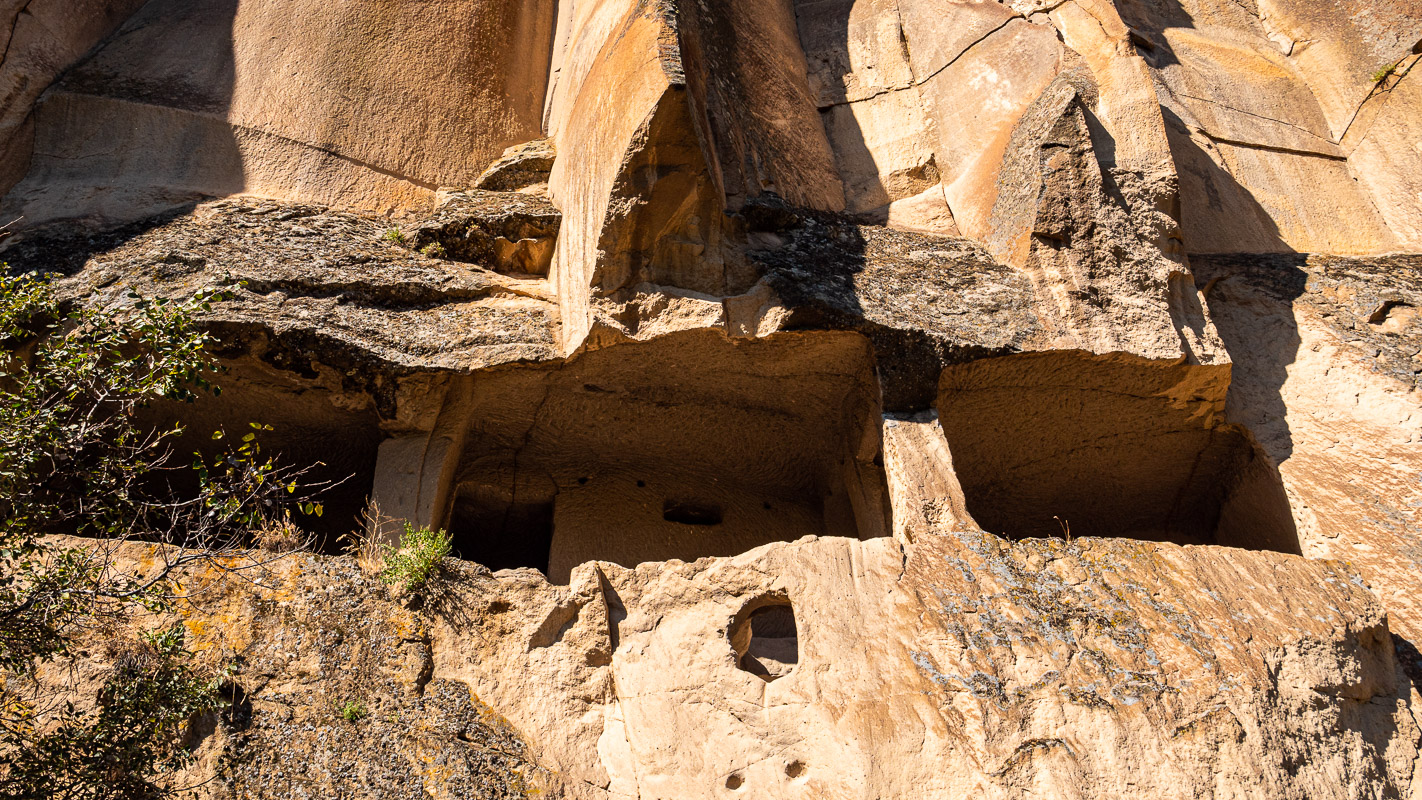
Zelve Open Air Museum
If you still want to see the apartments and churches of the Zelve Open Air Museum, you should hurry. Erosion plays a major role here, with entire rock faces breaking off. This is also the reason why you can see many apartments in the cross-section and why part of the area has already had to be closed.
Romans, Byzantines, Seljuks, Ottomans and Turks lived in the caves. It was not until 1953 that the last inhabitants moved out, as life in this rocky corner became too dangerous due to erosion.
An angel story
We spend the night at a campsite above Love Valley. But at night, so many Turkish cars drive past us on this dirt and dust road – up and down – that it becomes uncomfortable. At midnight, when a dear colleague stands right in front of our vehicle and lights us up with his headlights for the longest time, we are definitely no longer comfortable. We saw a “parking lot” in nearby Cavusin and that’s where we want to go now. However, this turns out to belong to a ceramics store, so it doesn’t work. On closer inspection, the “parking lot” opposite is a road junction. We drive in there. Suddenly a dark figure appears and tells us to stop. We are already expecting to be sent away again. But the opposite happens. He makes a sleeping motion with his hands, we nod, whereupon he shows us a hollow on a dirt road where we can spend the night and finally get a good night’s sleep.
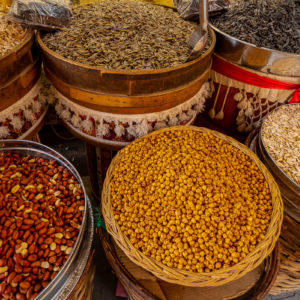
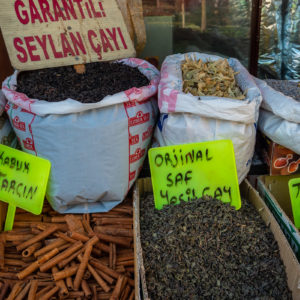
Market in Avanos
There is a lovely market in Avanos on Fridays, which is well worth a visit. Lots of fresh vegetables, fresh fruit, nuts, spices, household and other goods. The large parking lot, where “big rigs” can also drive up and park without any problems, is located in the center, right next to the market area to the east. Unfortunately no pictures.
Love Valley
We hike through the Love Valley in the light of the evening sun. As is the case everywhere, we are not alone. And even though driving would be prohibited, vehicles drive through the valley and a “buffet” is even set up again at one of the beautiful fairy towers in the middle of the nature reserve. It’s a shame that you can’t even leave nature, nature. In our view, this detracts somewhat from the experience.

Hike through the Zemital
A final hike takes us through the beautiful and peaceful Zemi valley with its plantations and the famous El-Nazar church.
Part of the front of the El Nazar church had also collapsed, but this fairy-tower church has been lovingly restored and, in our opinion, is well worth a visit. The guard opens the church for us and when we don’t come out for a long time because we are taking photos and filming, he looks at us a little grumpily and says that photography is forbidden in the UNESCO World Heritage Site…

Sunset Point
We spend the following nights near Sunset Point, above the Red Valley. Here we remain unmolested. After the hike to the Zemi Valley, the weather changes and it’s time to say goodbye to Cappadocia.
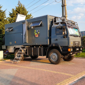
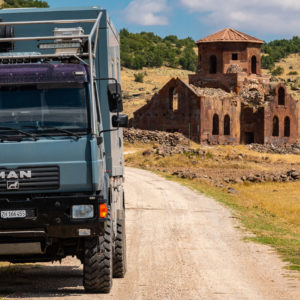
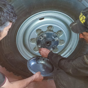
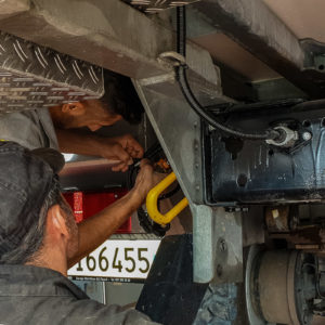
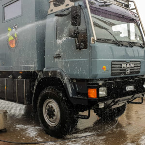
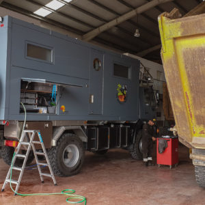
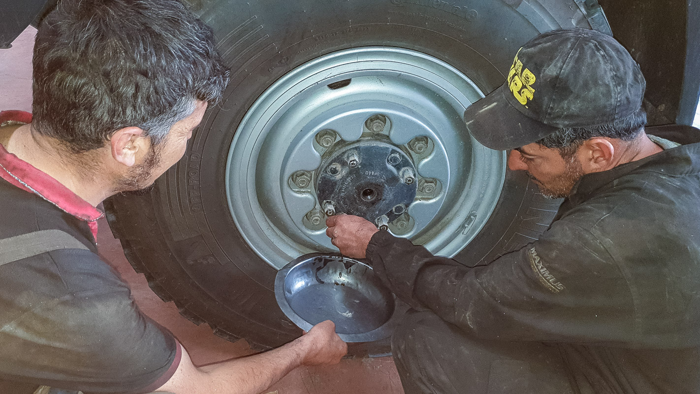
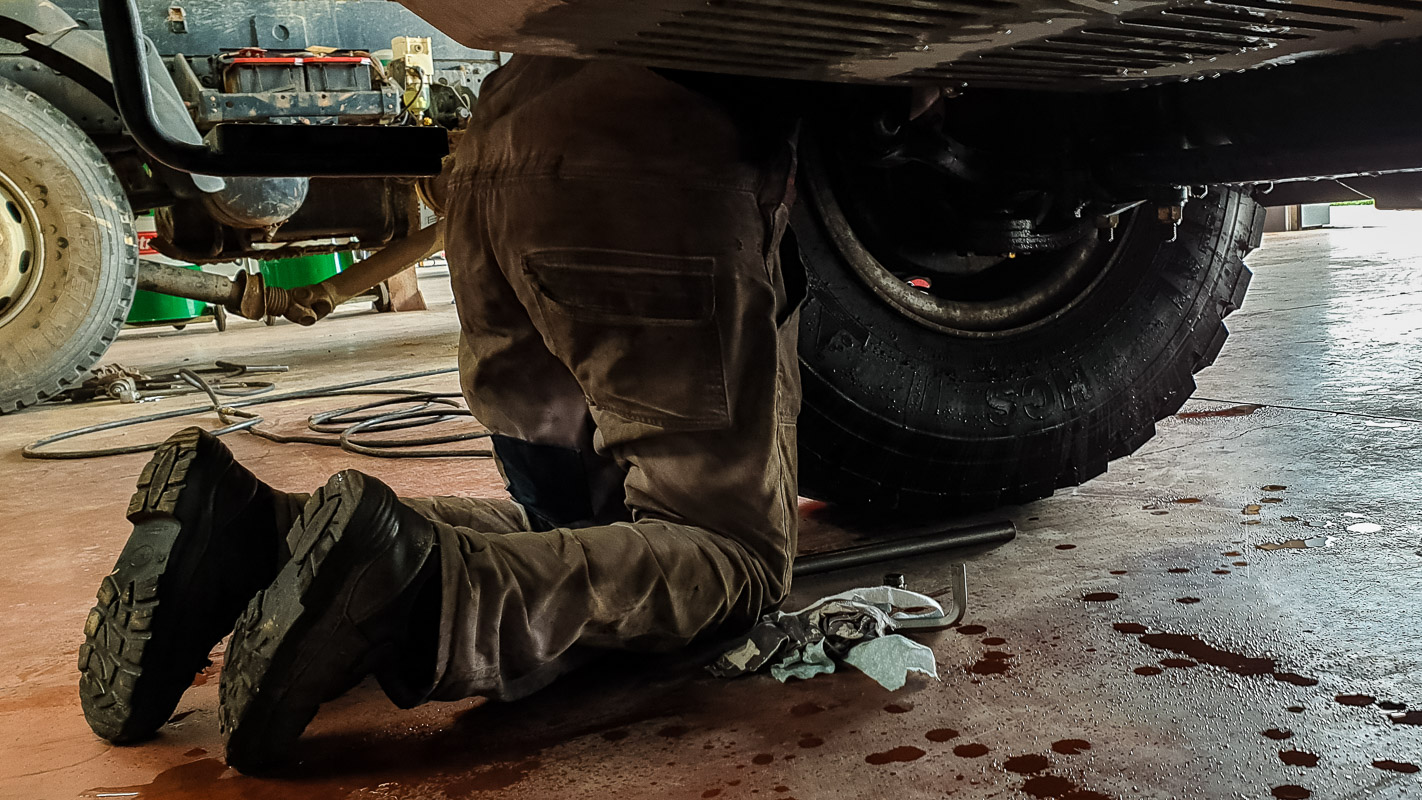
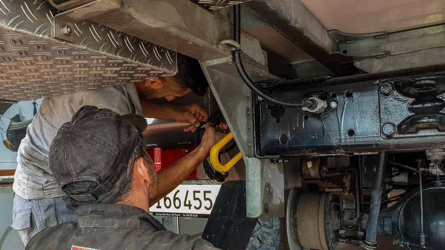
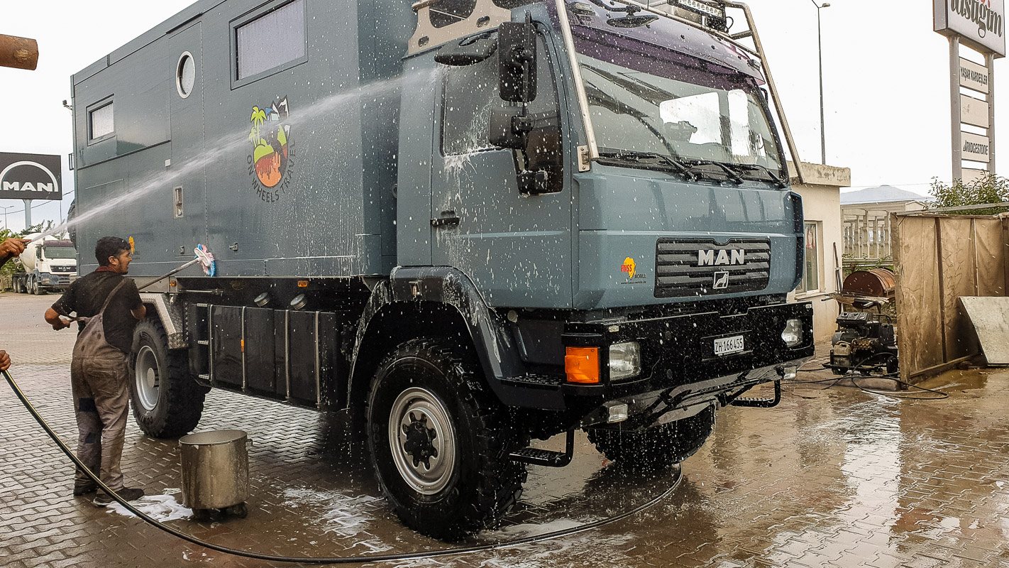
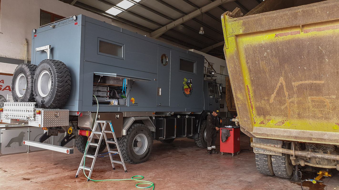
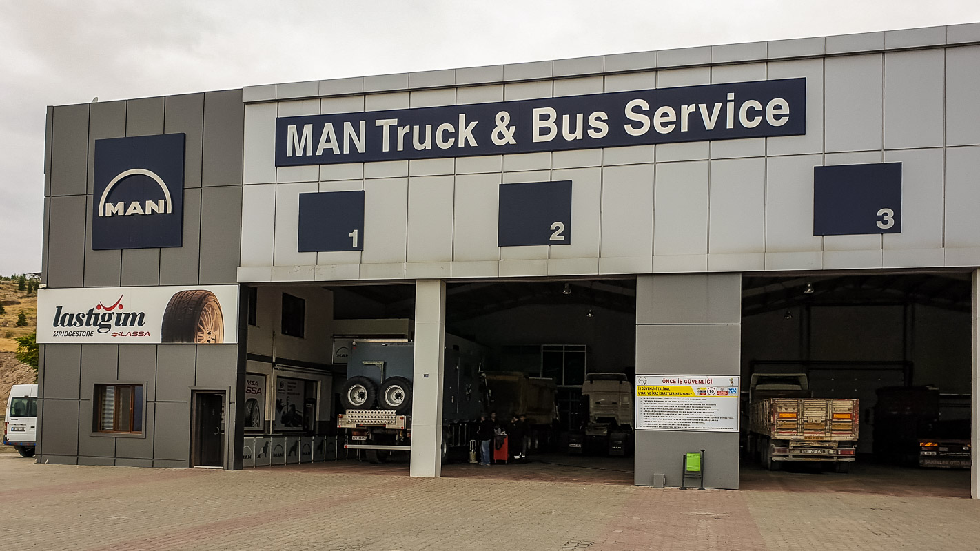
Yaşar Kardeşler MAN Servisi – Kayseri
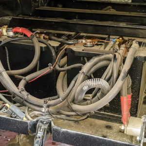
Our next stop is Kayseri and the MAN workshop of Yasar Kardesler. Here we give our MAN a breather and have some work done for 6230 Turkish lira (100 euros):
- Top up the oil in the planetary gears on the front axle – the oil is drained and completely refilled
- Top up oil at the kingpins
- Thorough vehicle wash
- Lubricate cardan shaft
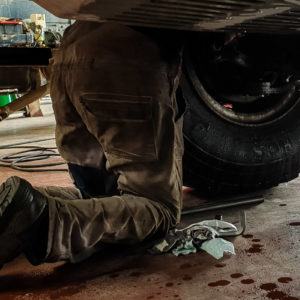
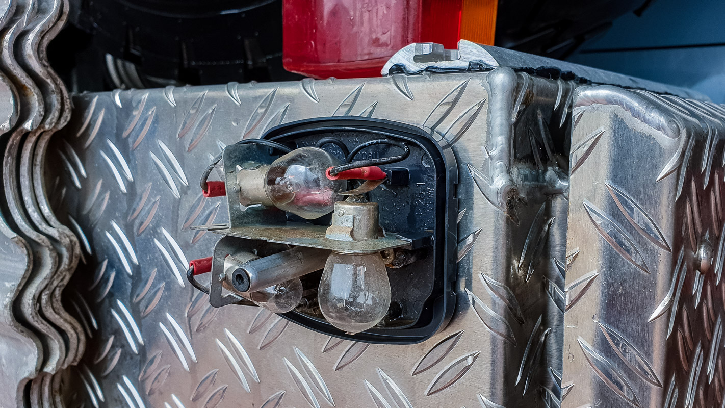
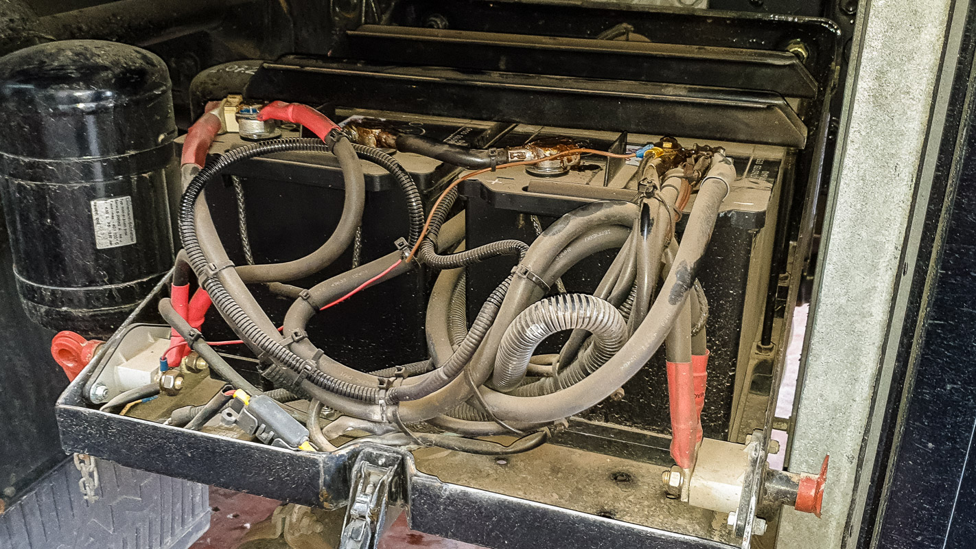
Additional work carried out free of charge:
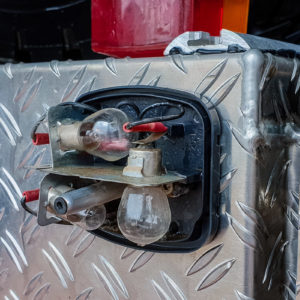
- Light checked
- Contacts on the vehicle batteries checked
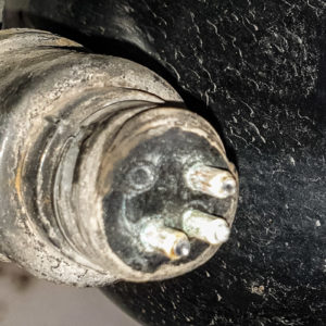
- Endangered electrical cable protected
- Defective rear lamp repaired
- Engine oil topped up
- Windshield wiper water refilled
- Air pressure indicator, plug treated with contact spray
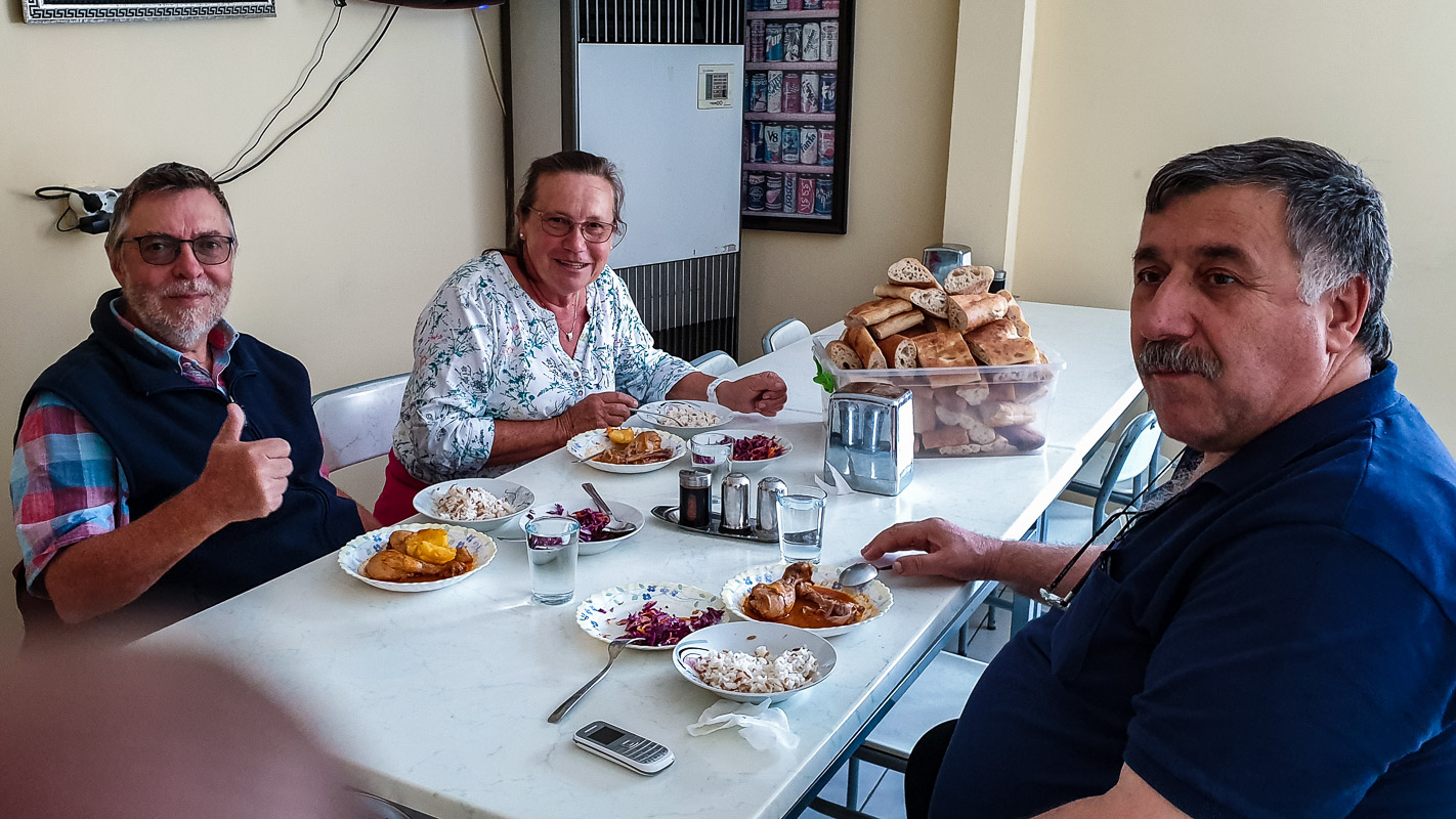
We were also invited to lunch free of charge and driven to a butcher’s shop by the boss, where we were able to buy Kayseri’s famous meat products without having to drive into the city. Good mechanics who really took care of the vehicle. Communication was only possible through Google Translate. Once the chief mechanic wrote me the following: …but you did this, you artist you!
All very pleasant. New tea (Cai) was served every 15 minutes. So we can only recommend it (yes, even the tea). Many thanks to the Kardesler company!


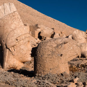
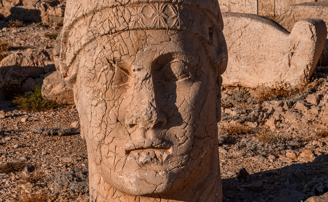
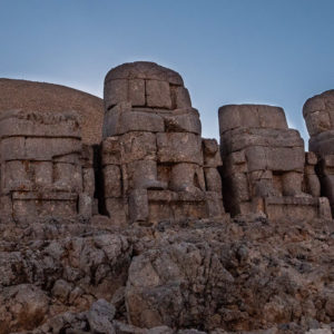
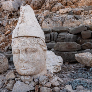
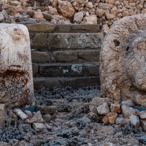
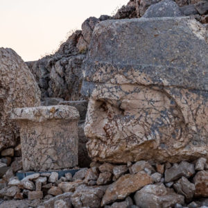
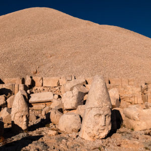
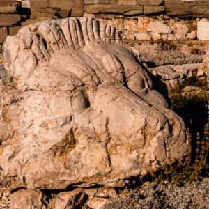
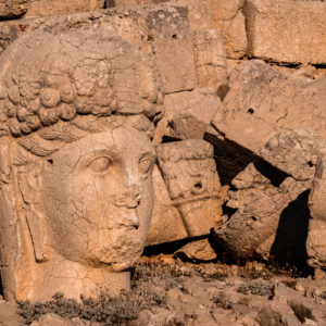
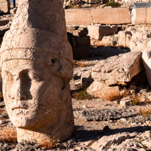
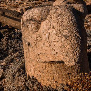
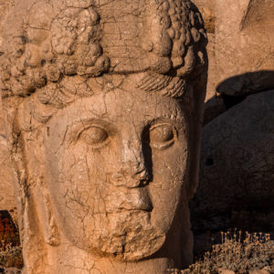
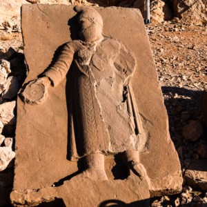
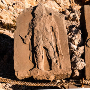
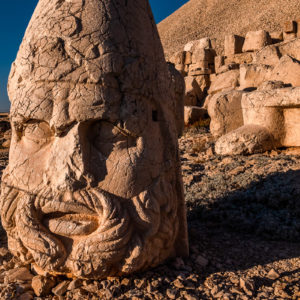
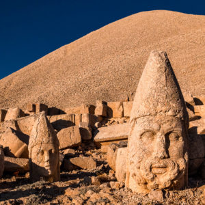
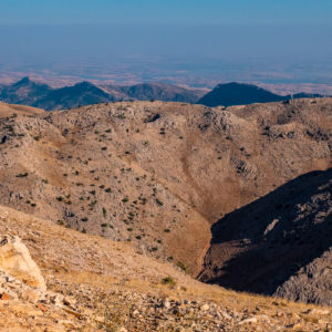
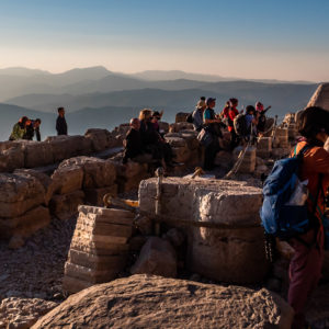
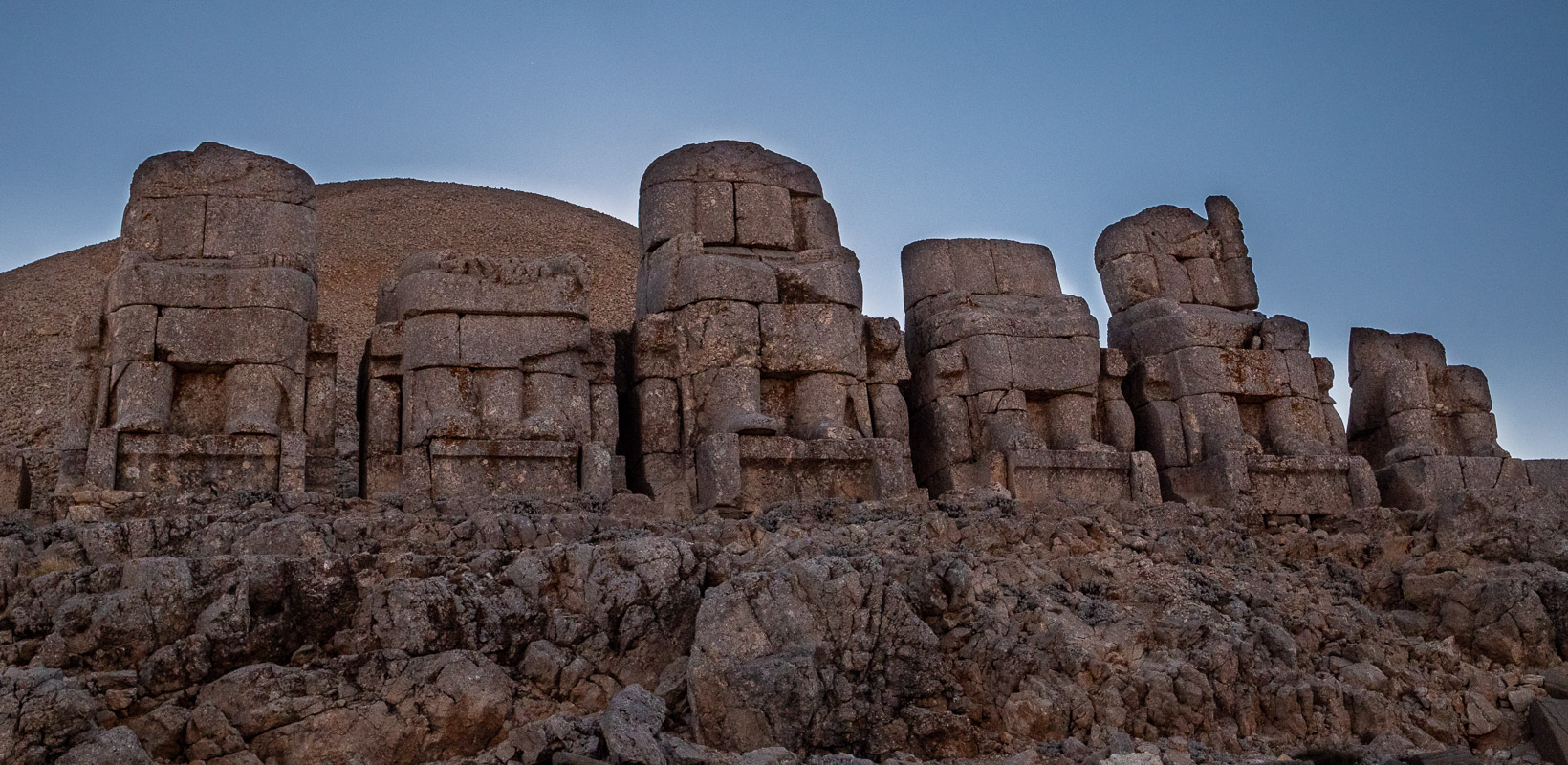
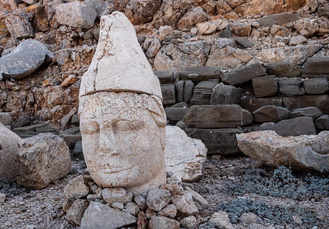
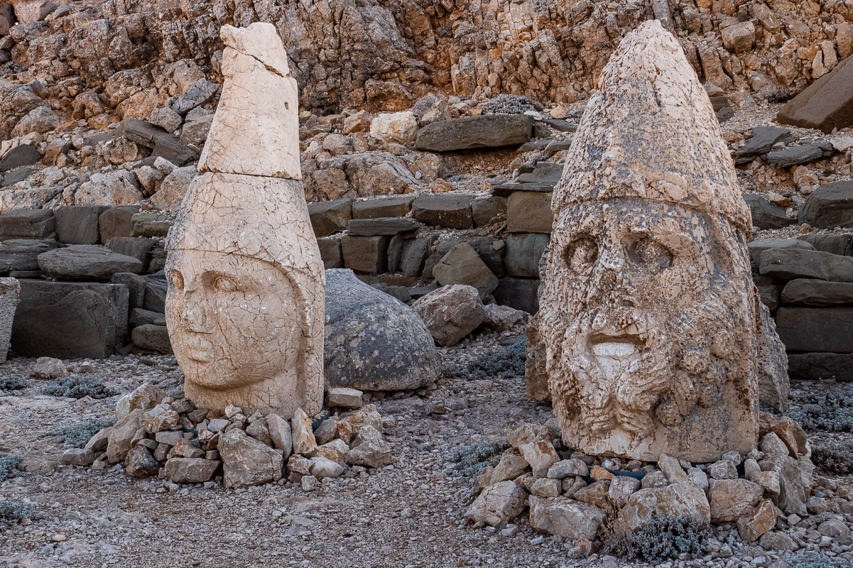
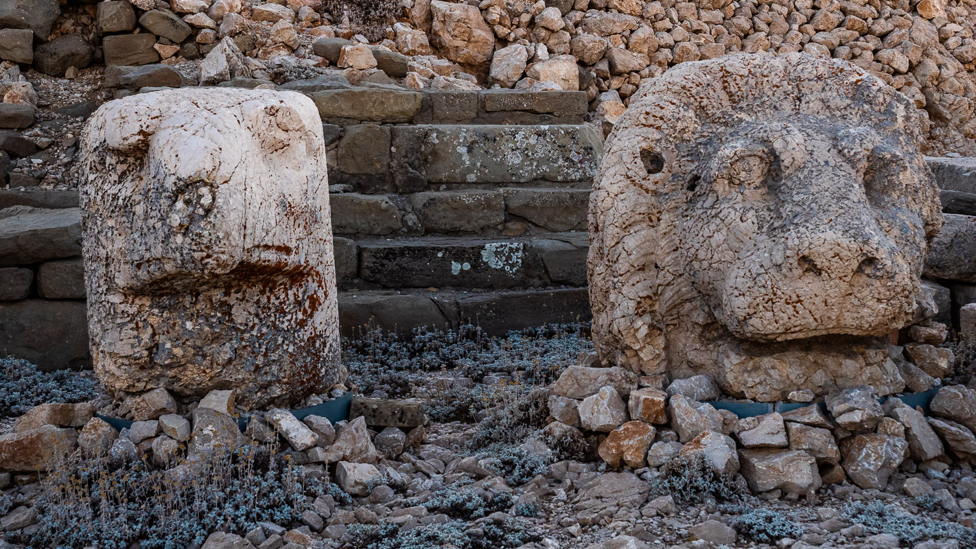
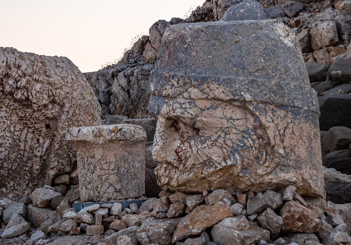
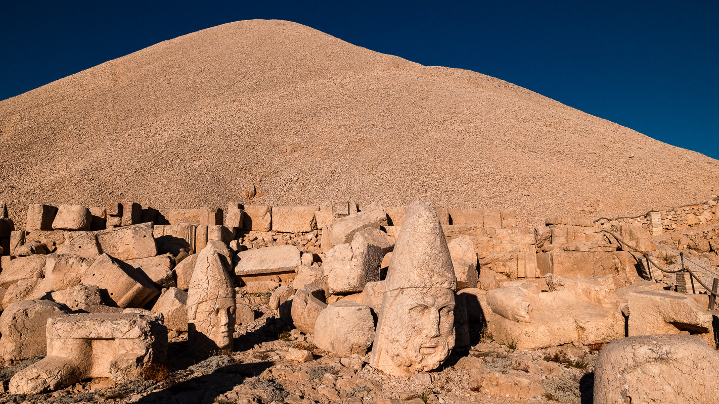
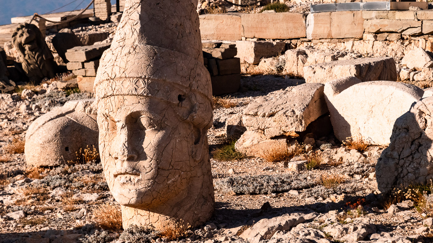
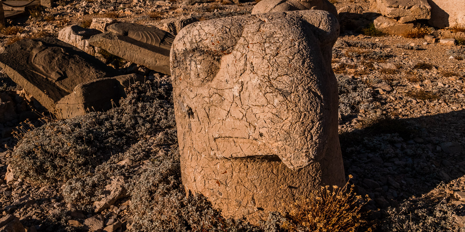
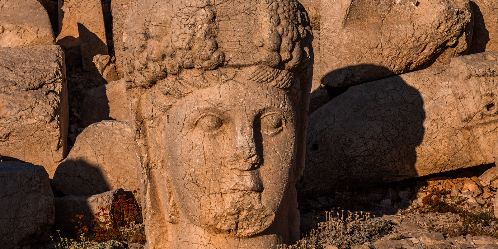
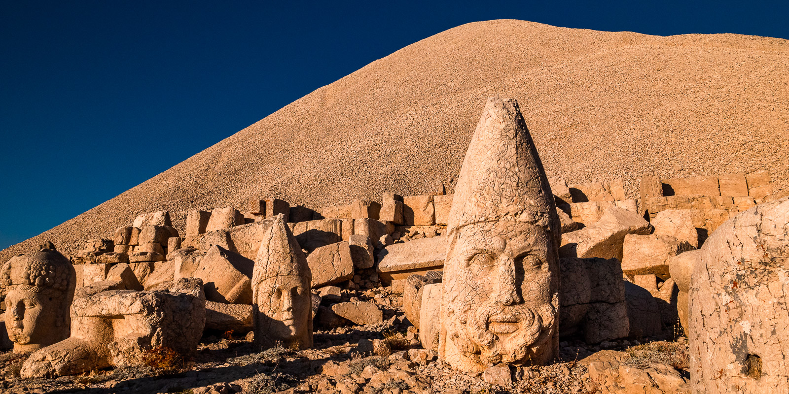
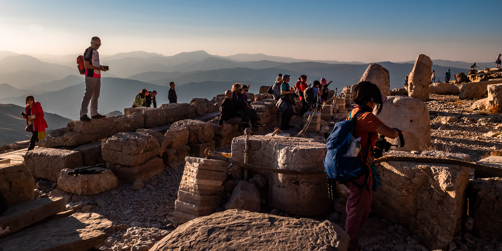
Nemrut Dagi – the mountain of the gods
Nemrut, or “Nimrod” in German, was the first great tyrant on earth. He was probably also the builder of the Tower of Babel and the first idolatrous cult arose around him. It is therefore not surprising that the mountain of the gods bears the name Nimrod. The largest burial mound in the world is located on the summit of this mountain at an altitude of 2150m. Stone gods guard the burial mound, the tumulus heaped up from gravel. However, the heads of the gods no longer lie on their bodies, but on the ground. Antiochus I (69 to 34 BC), who was buried here, guards his own tomb as a god of stone, together with Heracles, Apollo, Zeus and Tyche of Commagene. The stone-carved guard is located on both the west and east terraces, whereby the east terrace still has a fire altar.


As we reach the mountain a little earlier, we think we will only have to share the mountain with a few others. But then the crowds arrive just in time for sunset.
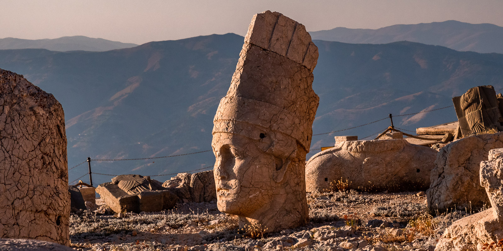
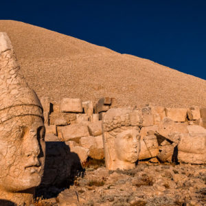
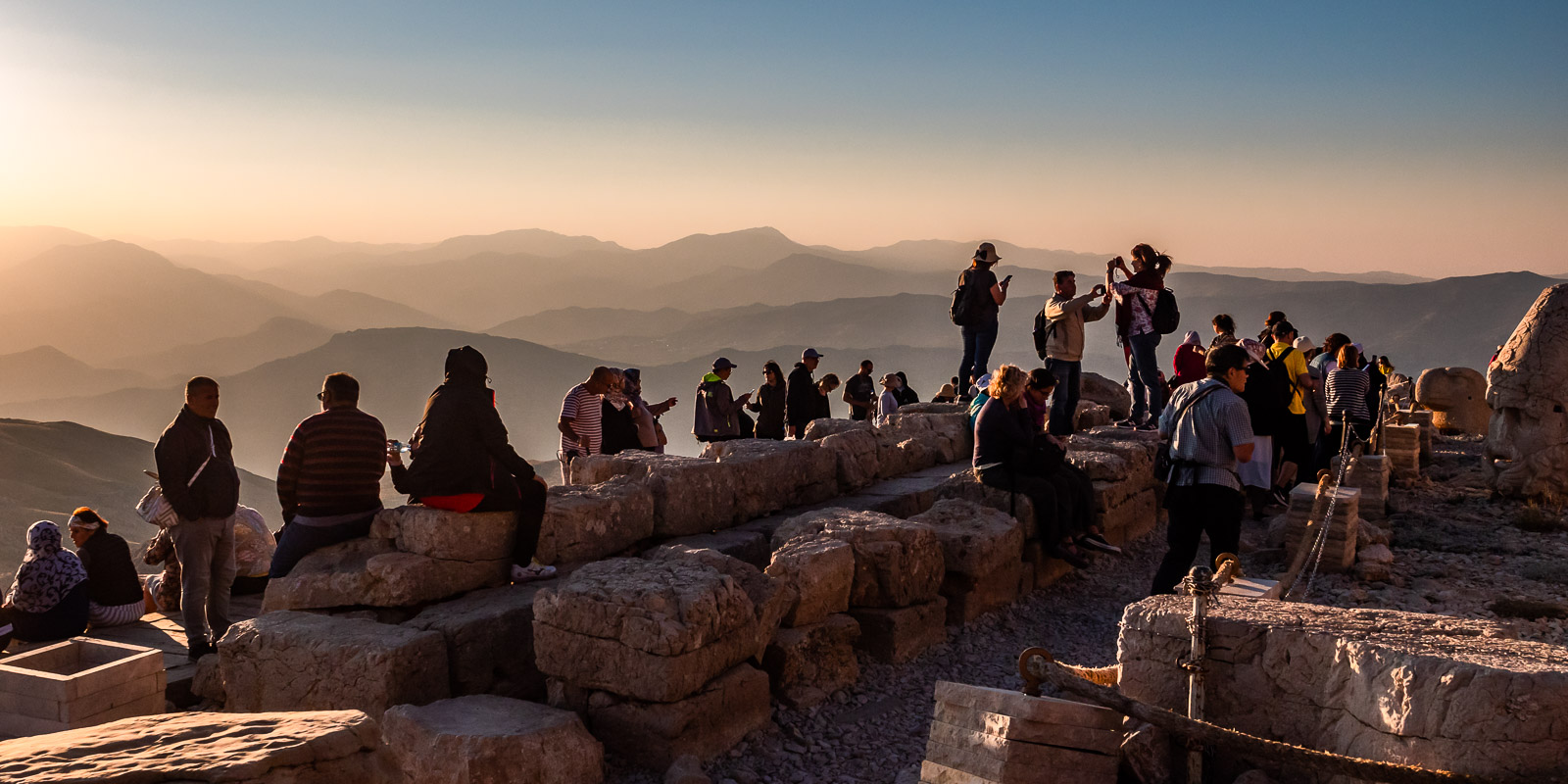
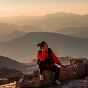
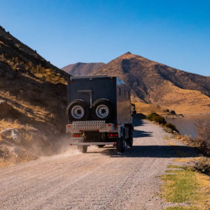
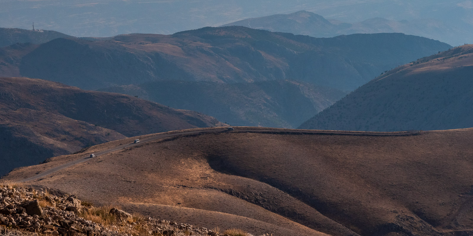
We drive up the mountain from the south-east, take the steep but paved road through Karadut to the Karavanserai guesthouse at an altitude of around 1300m, where we stay for two nights and enjoy the view. We pay 100 lira for a cab to take us to the summit of Nemrut.

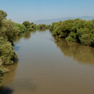
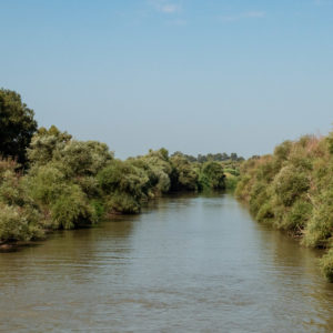
Euphrates and Tigris
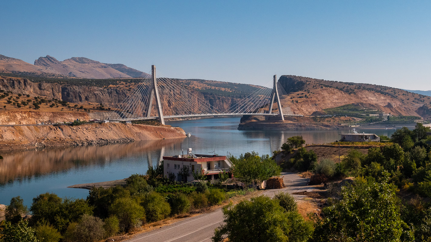
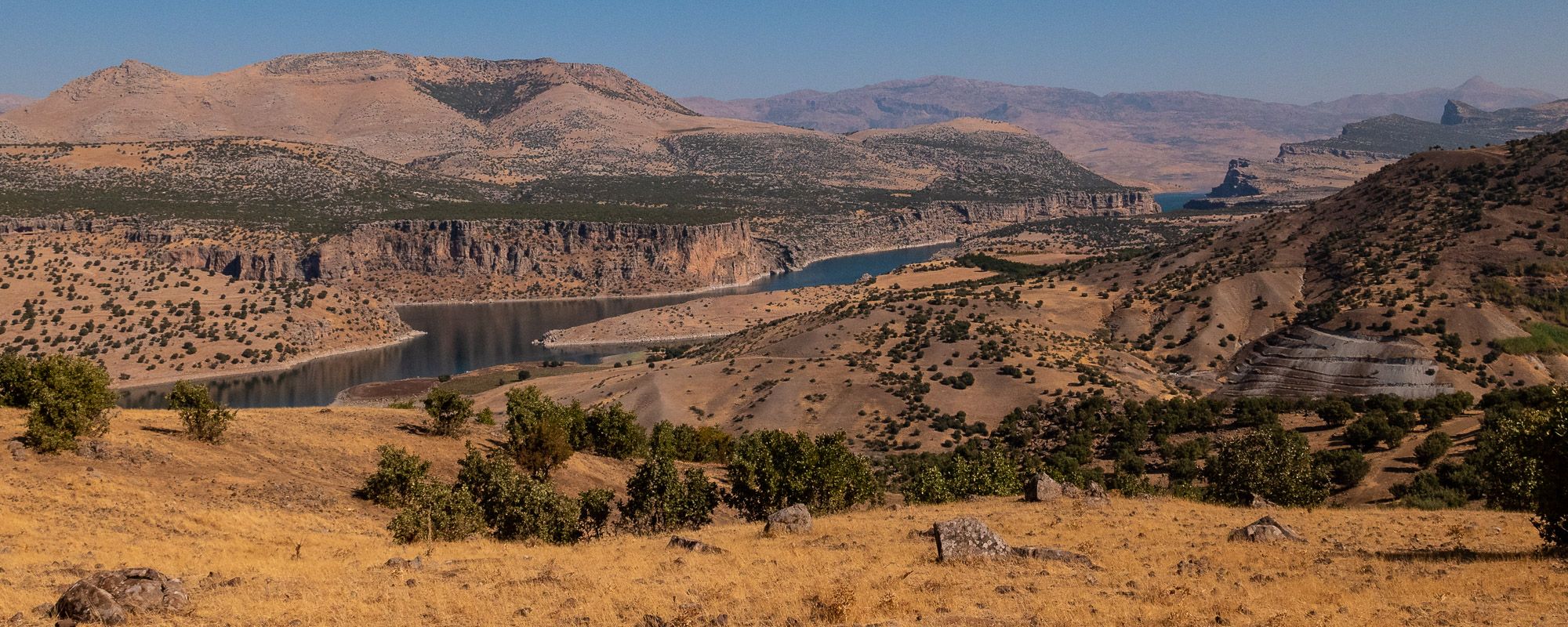
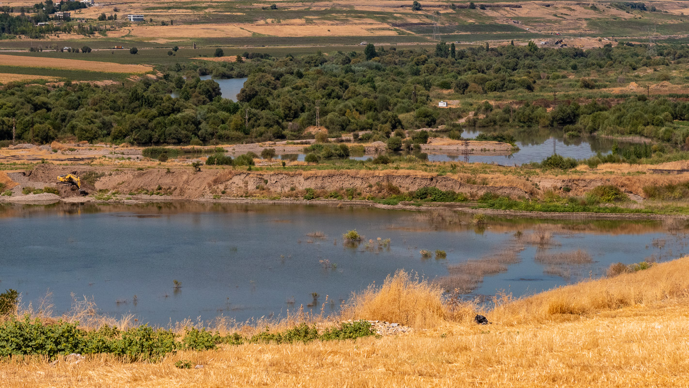
After visiting Nemrut Dagi, we head straight east. We don’t miss out on a short stopover at the two ancient rivers Euphrates and Tigris. Both rivers flow from the Anatolian highlands down to the Mesopotamian plain. They played an important role in ancient times and perhaps still do today, as they are dammed by Turkey. The ancient civilizations in Mesopotamia (Mesopotamia) were only possible thanks to the Euphrates and Tigris rivers.
Euphrates
The Euphrates is called “Firat Nehri” in Turkey and has merged here into the “Atatürk Reservoir”. With its longest tributary, it is 3380 km long. It rises in the inner Taurus Mountains, flows through the Mesopotamian plain, Syria and Iraq, and finally pours into the Persian Gulf.
Encounter “in the bush”
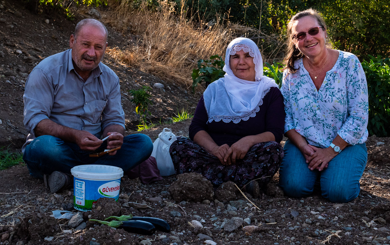
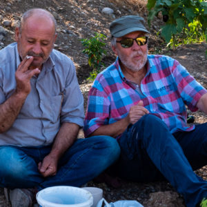
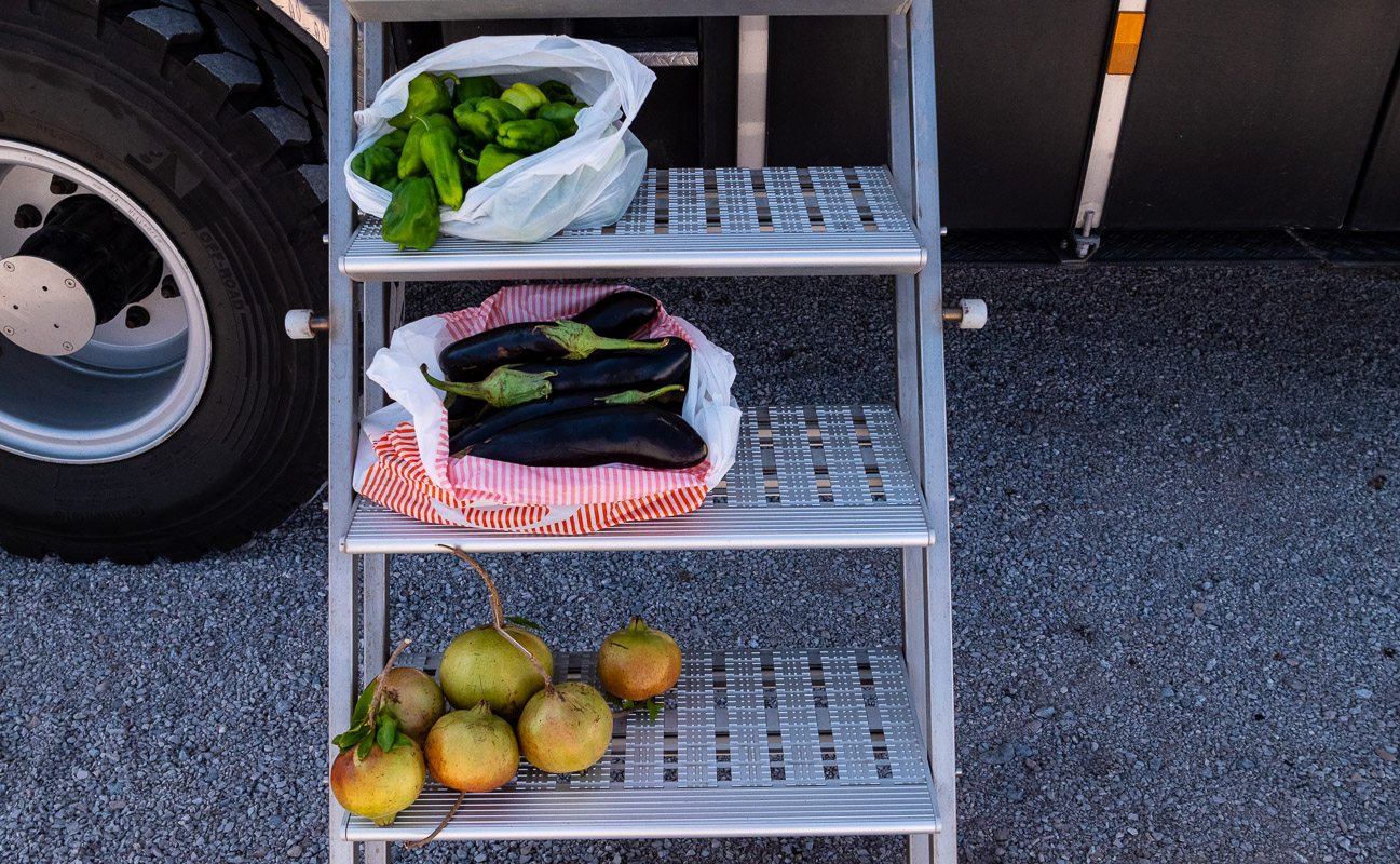
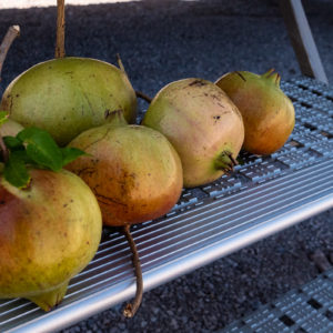
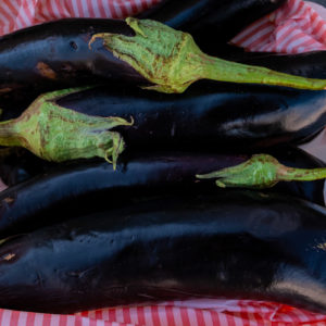
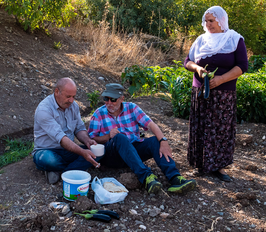
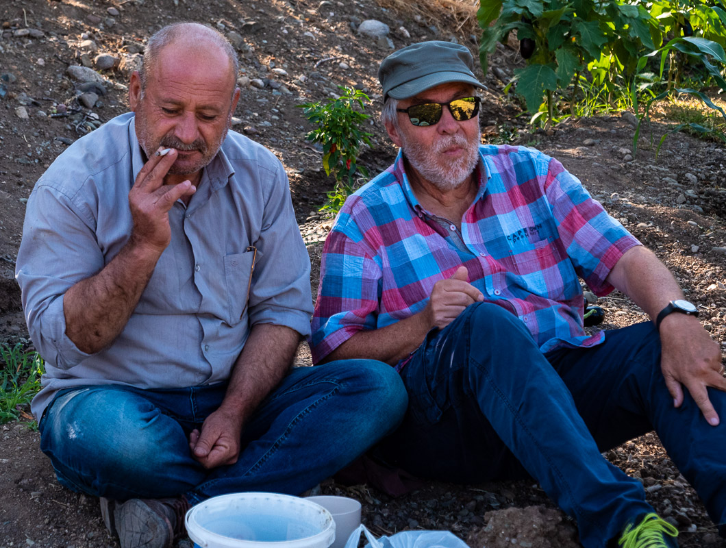
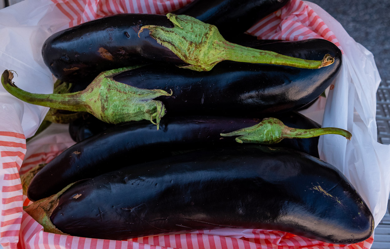
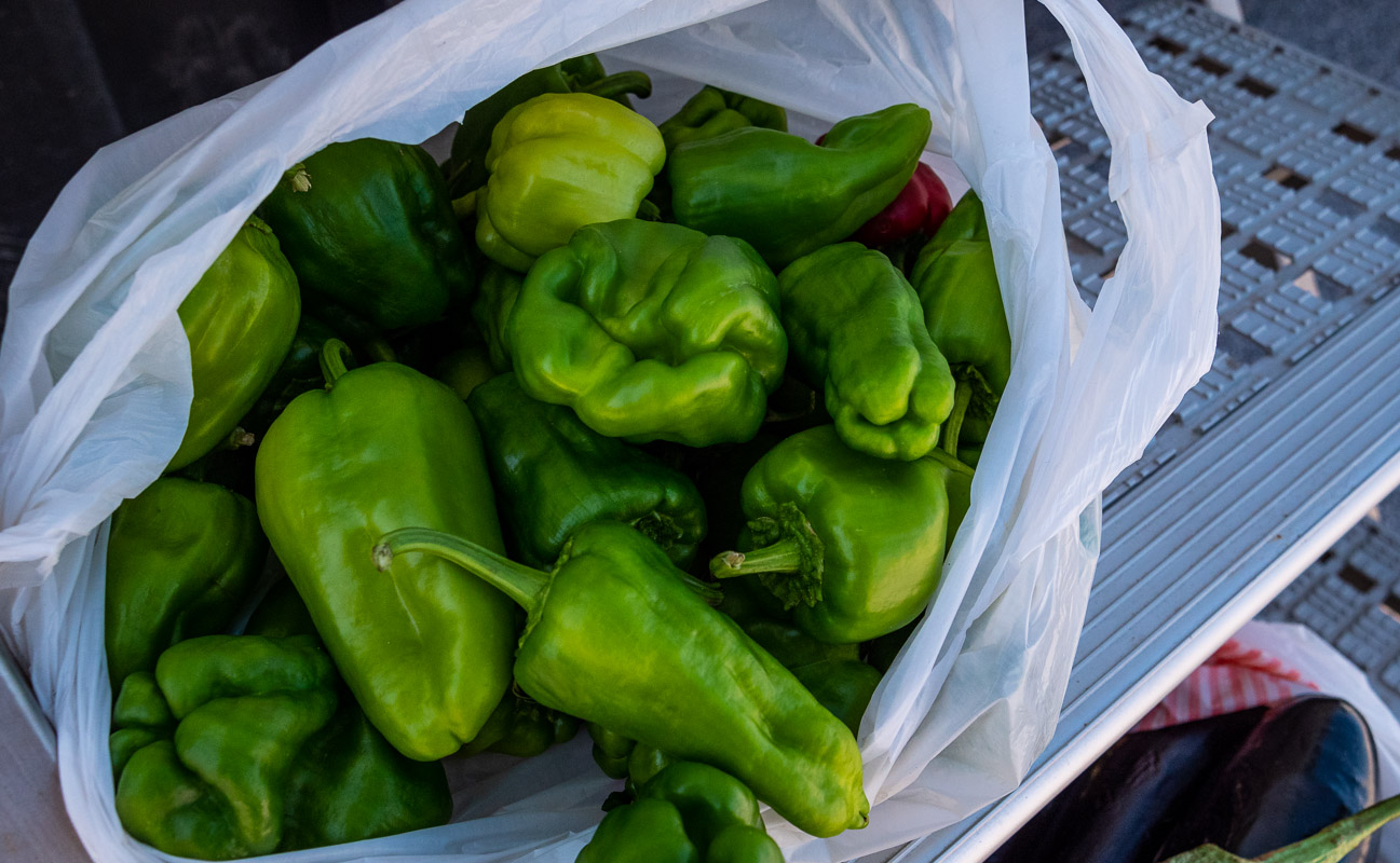
While I’m filming the Euphrates, I hear my wife’s voice and that of a man. What’s going on? I look for her and find her behind bushes and trees at the edge of a vegetable field together with a couple of farmers. The two loved ones shower her with the vegetables they have planted themselves. When I turn up, the man offers me a cigarette and I have to try the homemade sheep’s cheese. The longer we stay with them, the more they stuff our plastic bags full of vegetables. Communication with Google Translate does not work because they apparently find reading and writing difficult. We try to tell you that we don’t have children at the table to eat with us. Finally, we return the favor with a Swiss chocolate and say goodbye with a mutual hug (man-man, woman-woman).
Tigris
After passing through the ultra-modern Kurdish city of Diyarbakir, we cross the Tigris, known here as Dicle Nehri. Unfortunately, we can’t really get close to the river and don’t want to take a detour as we want to get as far as Lake Van today.
Somehow I’m not in such a good mood today. My right calf hurts and I don’t know whether it’s a thrombosis or just a pulled muscle from the last hike. The road from Diyarbakir to the mountains is difficult to drive. Constantly driving up and down, with the gradient being so steep that I often have to downshift so that the dynamic pressure brake holds the vehicle. We clearly miss a retarder brake. In addition, the entire route is undulating, so that the vehicle is constantly bobbing up and down. Simply tedious. But we pull through and finally end up in Bitlis.
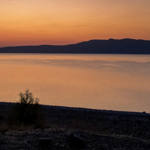
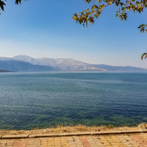
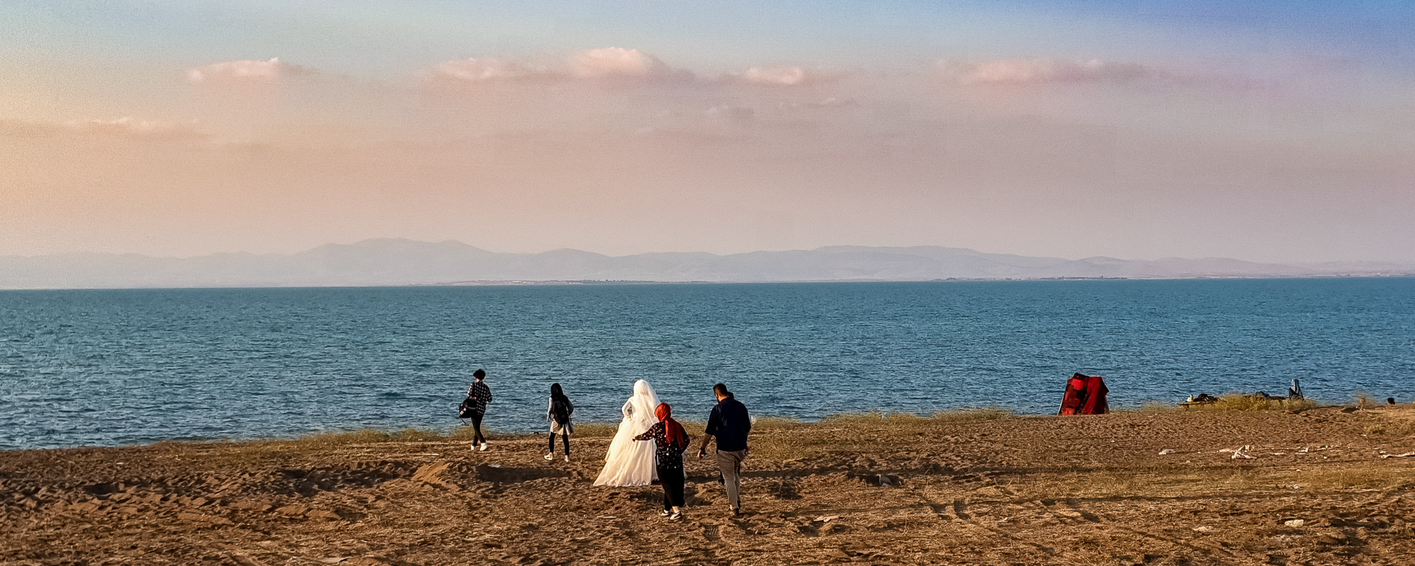
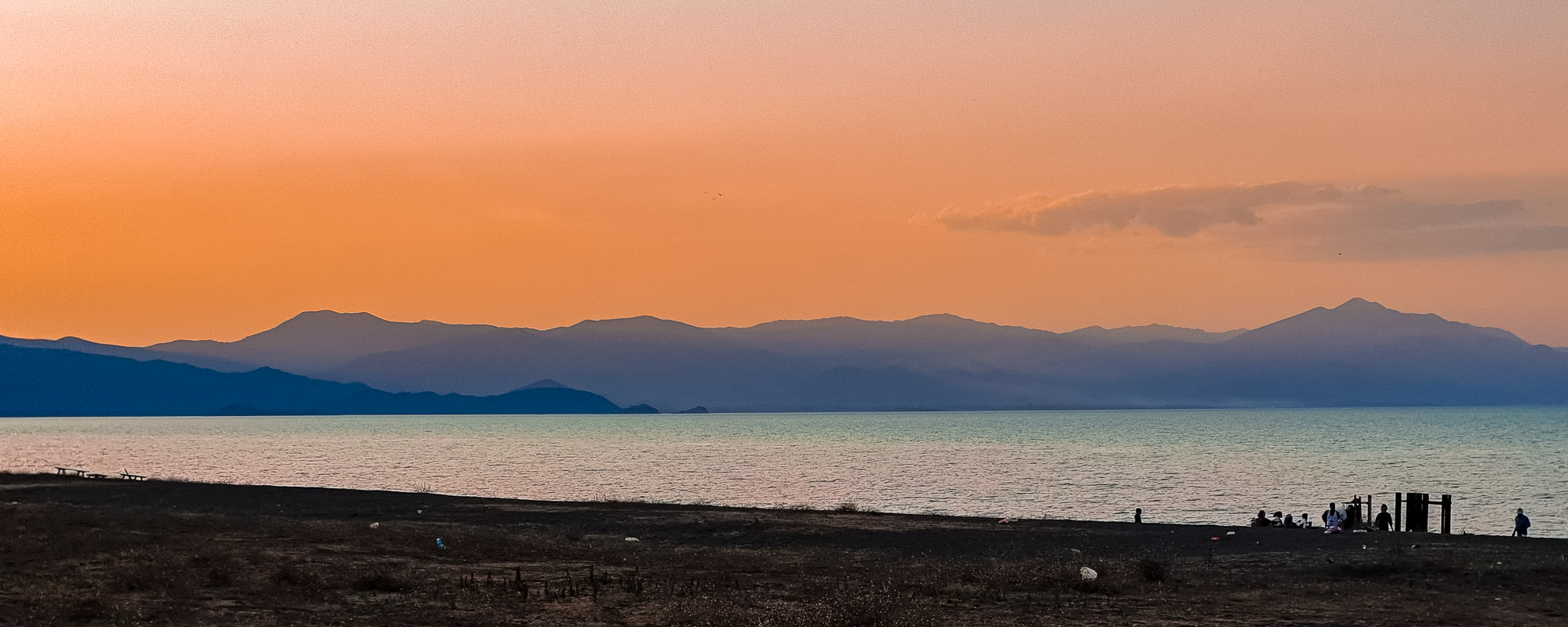
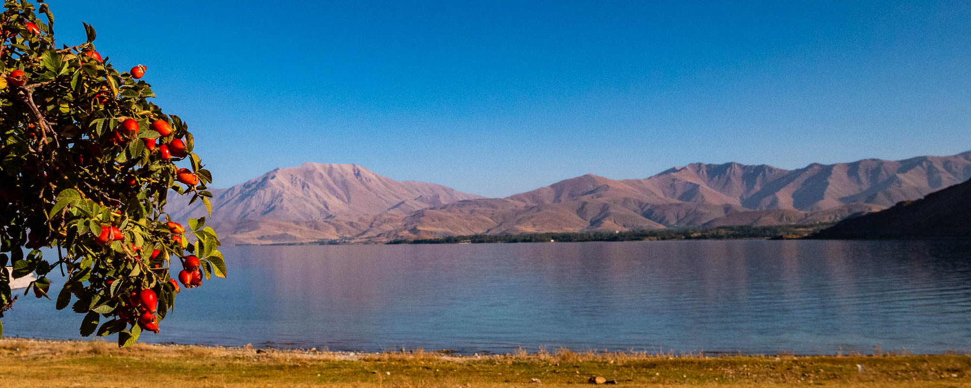
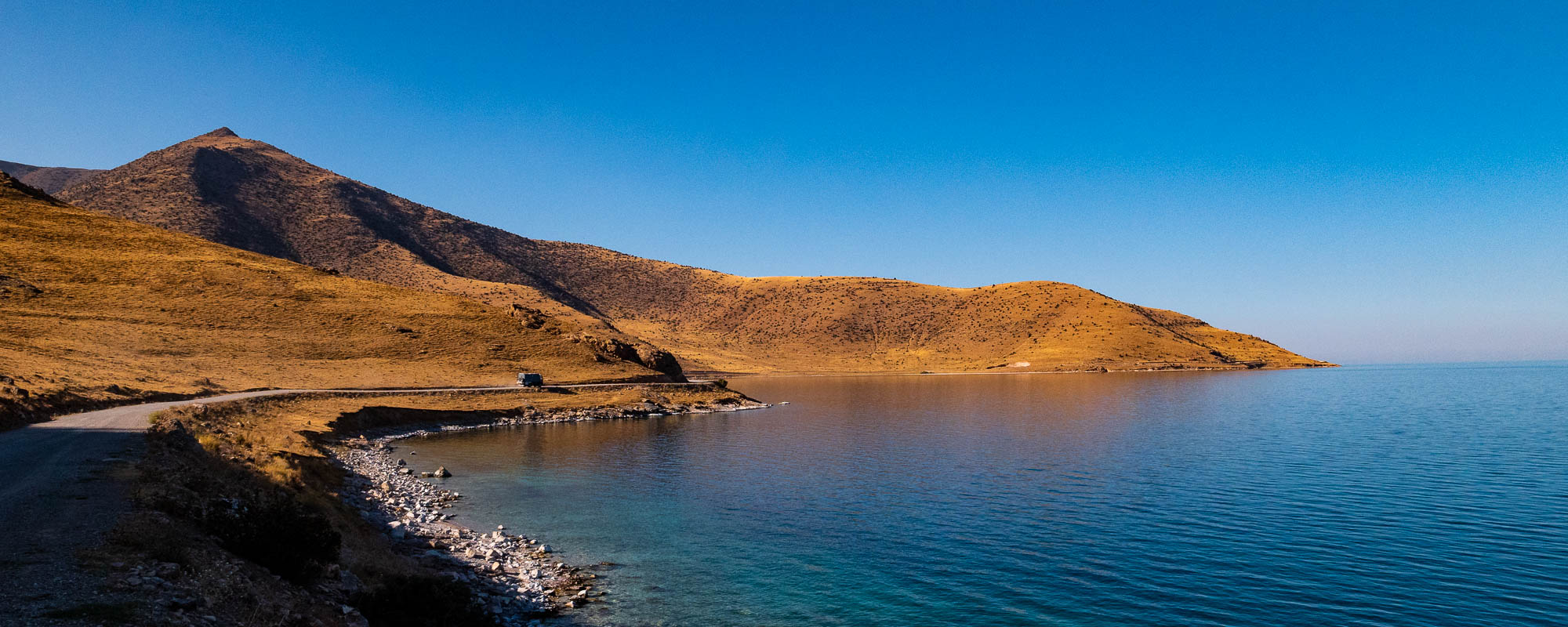
At Lake Van
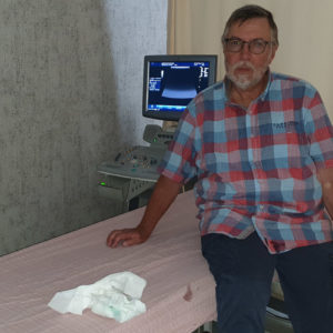
Finally the time has come and we are at Lake Van, more precisely in Tatvan. I’ve always been fascinated by this lake and now we’re here! But I’m not entirely happy. My calf on my right leg still hurts and we think we can see a slight blue discoloration, which could be an indication of a thrombosis. We are unsure. Back in hospital with long waiting times? Where to? On the other hand, we don’t want to enter Iran in the uncertainty.
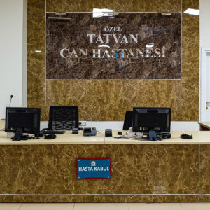
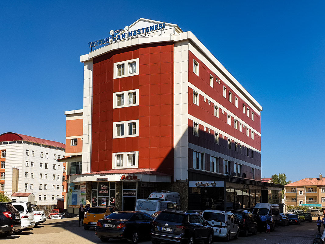
Tatvan Can Private Hospital
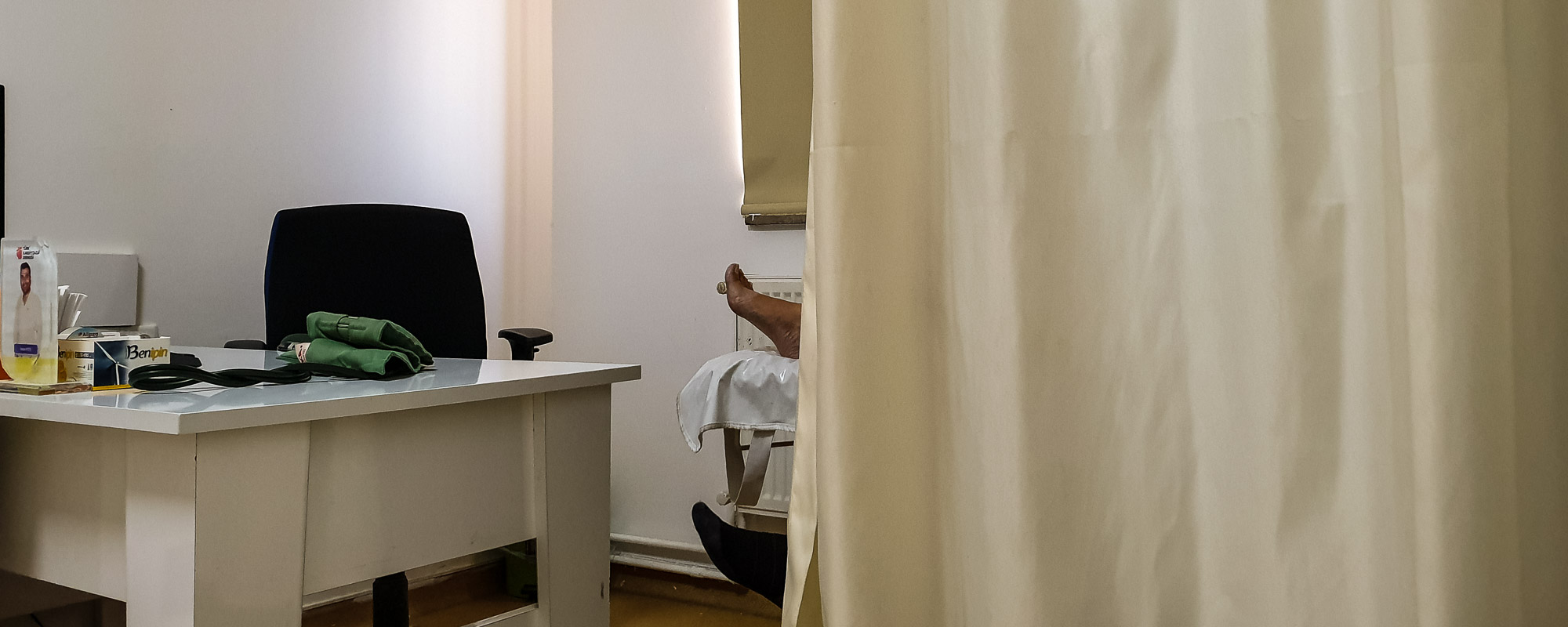
We discover a small private hospital on Google Maps – and drive there. It doesn’t look very promising from the outside, but inside it looks clean, tidy and well-kept. As the lady at reception doesn’t speak English, she sends for another lady, who doesn’t speak English either, but leads us to a young, dynamic gentleman in the hospital. It’s the hospital director himself and he speaks fluent English. After a brief consultation, he takes us straight to the cardiologist who is responsible for my examination.
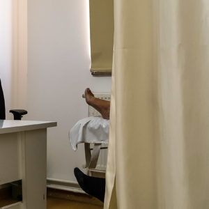
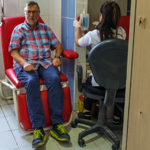
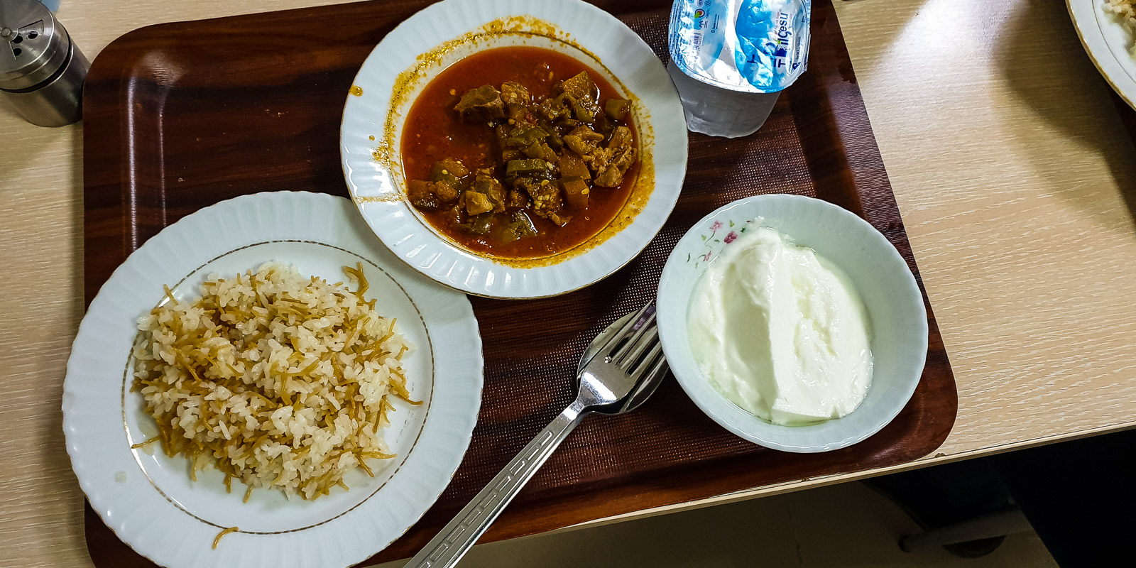
I don’t have to wait long. Of course, as a cardiologist, he also listens to my heart, checks my calf and orders a blood test and an ultrasound scan of my veins. Everything is well organized and documented accordingly. The vein examination is negative, which is positive in medical terminology. We still have to wait for the laboratory results. Meanwhile, the director invites us to a tasty lunch in the canteen and then to coffee in the cafeteria. Finally, I receive the final report: no thrombosis and a prescription for an ointment and painkillers.
Many thanks to the director, Şener Akbay, and to the cardiologist, Dr. Kenan Ates, and the hard-working staff at the hospital.


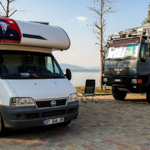
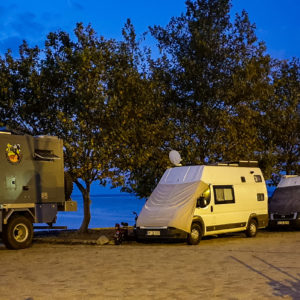
Deniz Camp Gevas
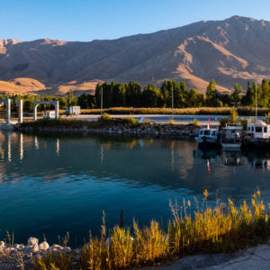
The Deniz Camp is more of a huge excursion restaurant with standing room for campers. Thanks to the newly created space at the small harbor, we can stand directly on the lake away from the restaurant. Here we prepare to enter Iran and enjoy a few sunny days by the lake. We also fix the blocked toilet, fill up with water and diesel, buy the last of the food and then set off on the 140 km journey to Kapiköy, on the Iranian border.

1 Comment. Leave new
Hi Ernie this is a great trip, good luck. We are back at home after our tour of France.