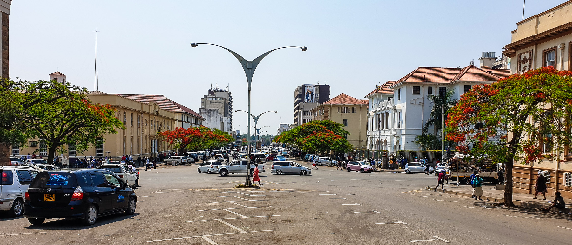
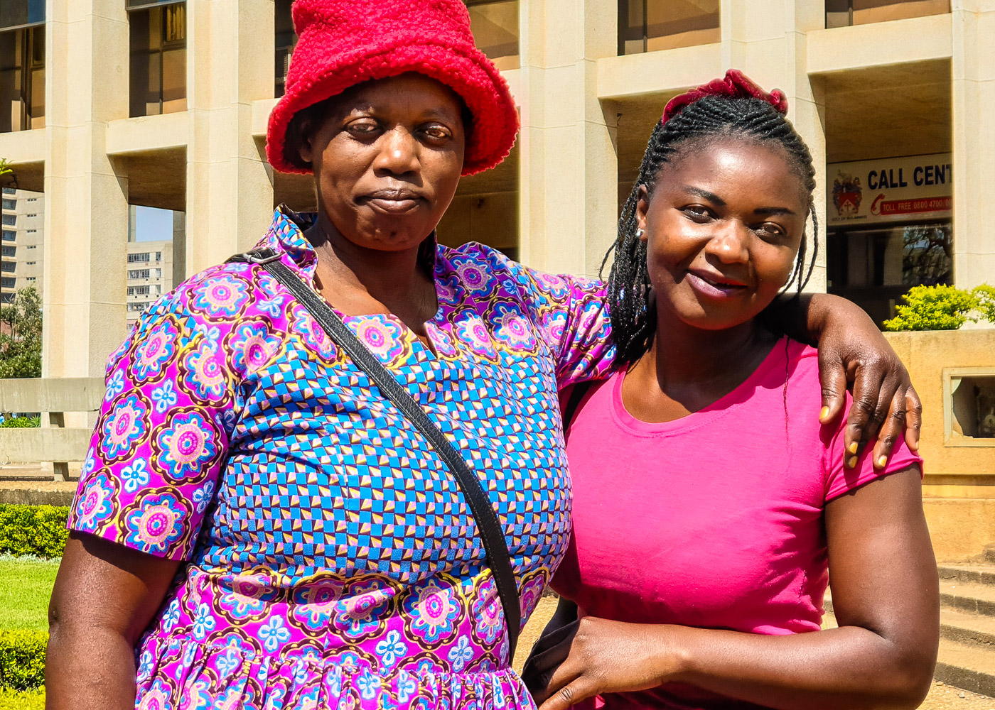
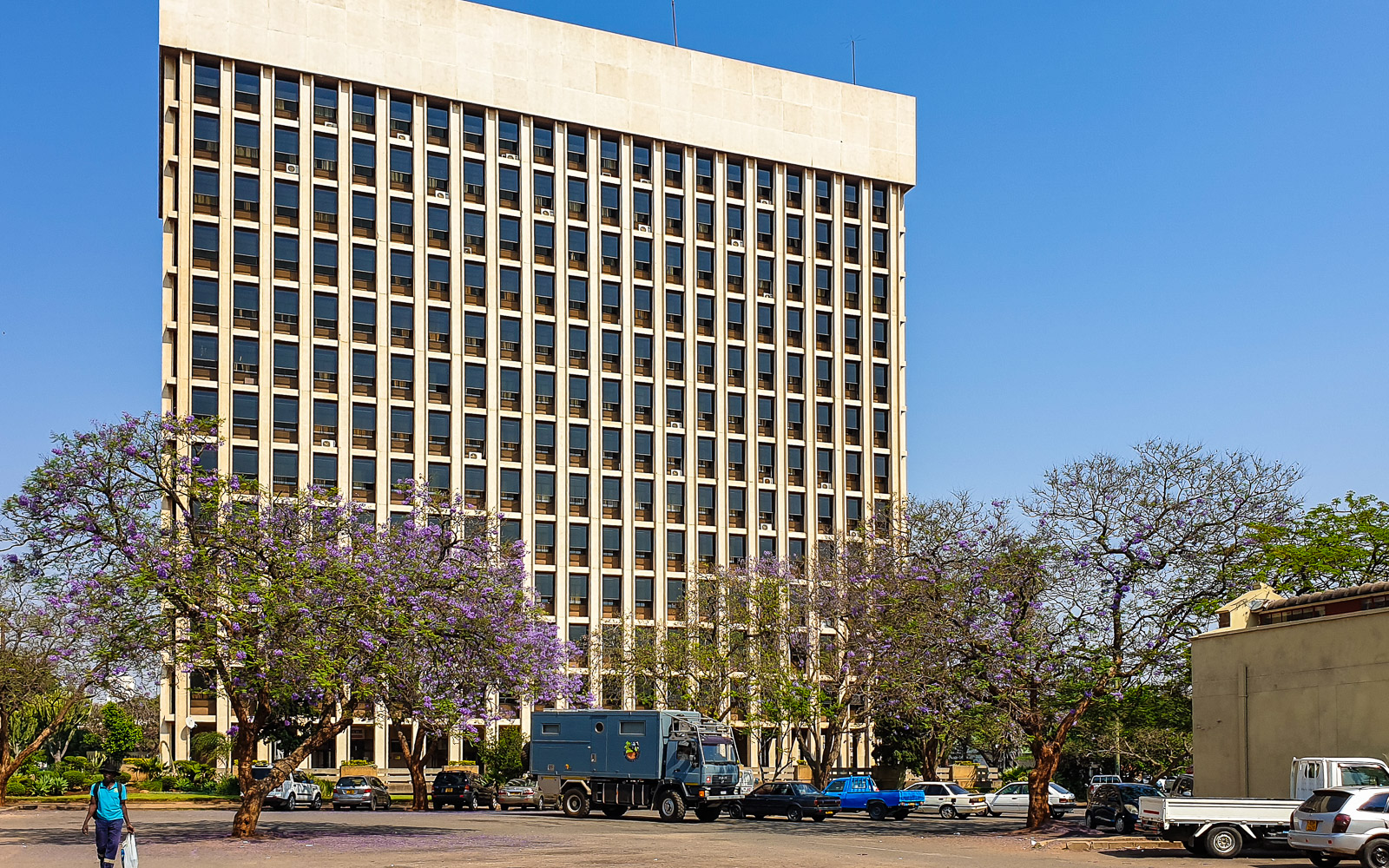
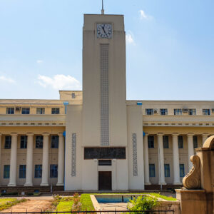
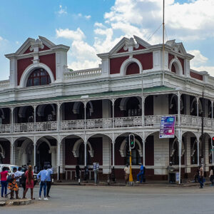
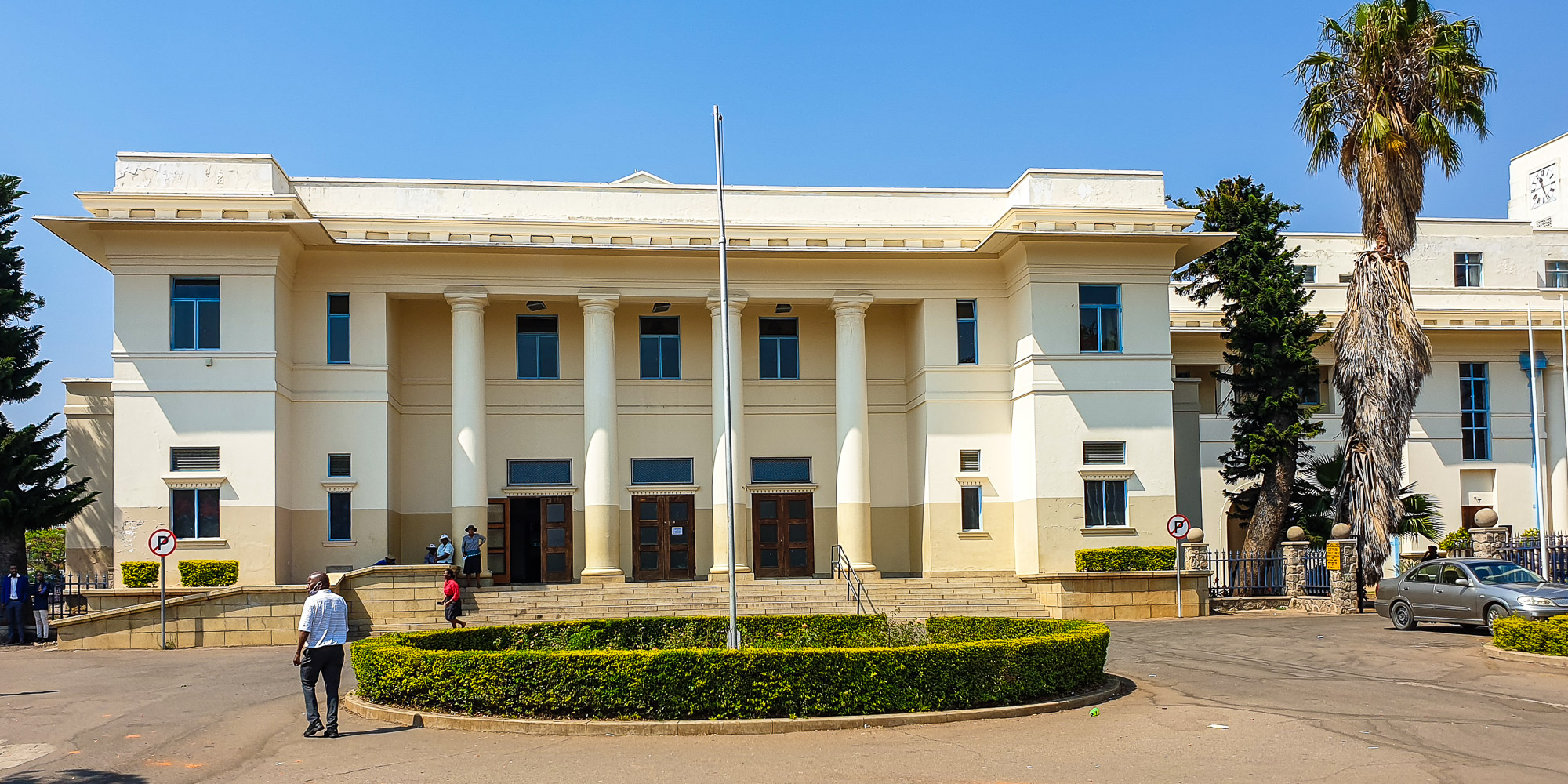
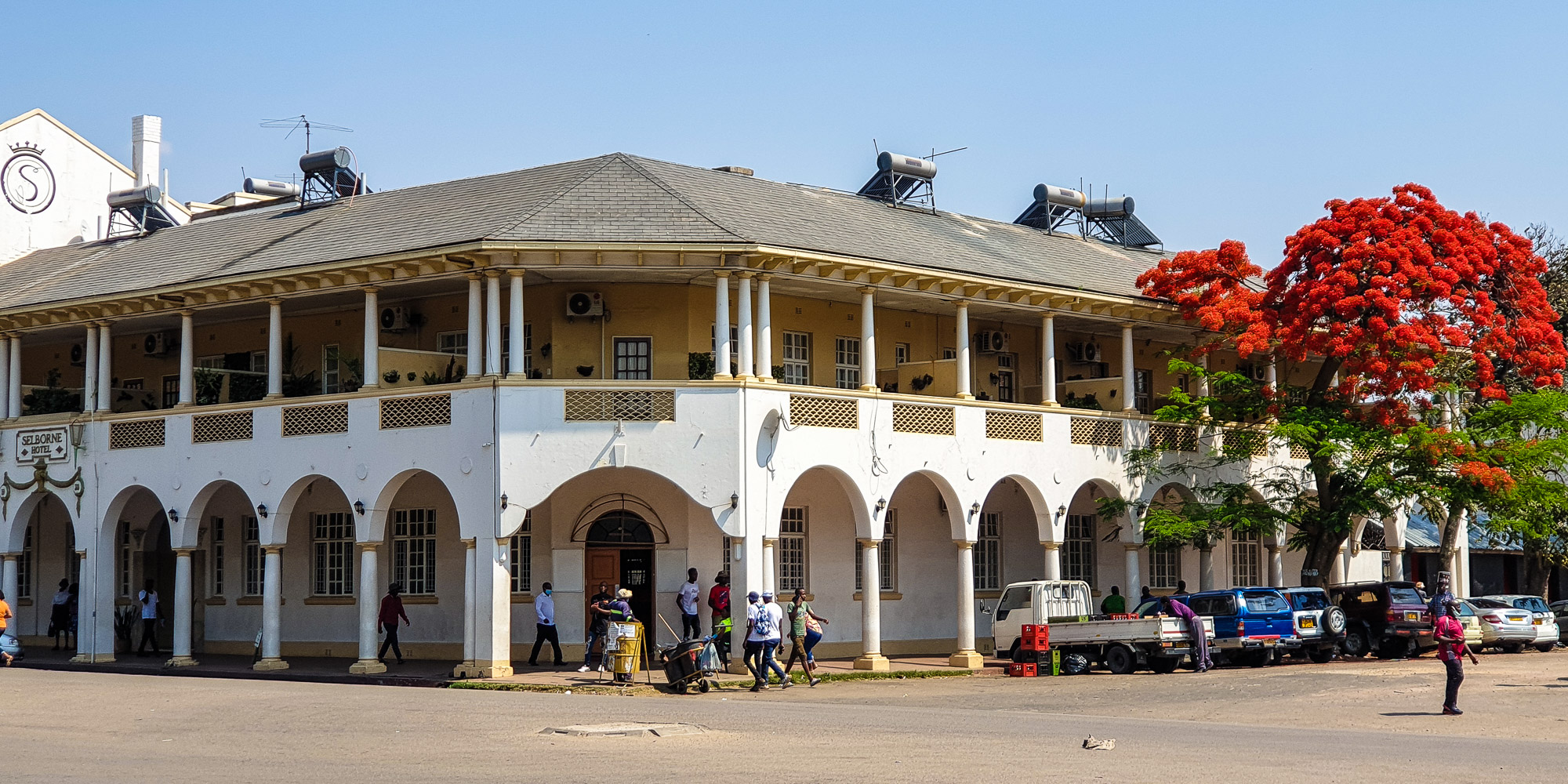
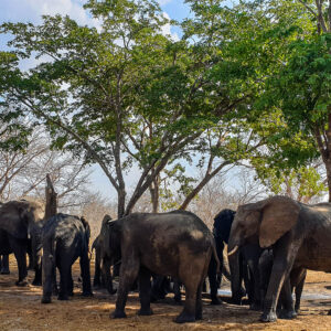
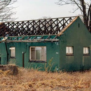
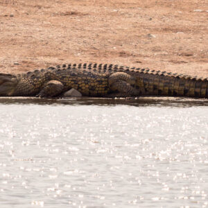
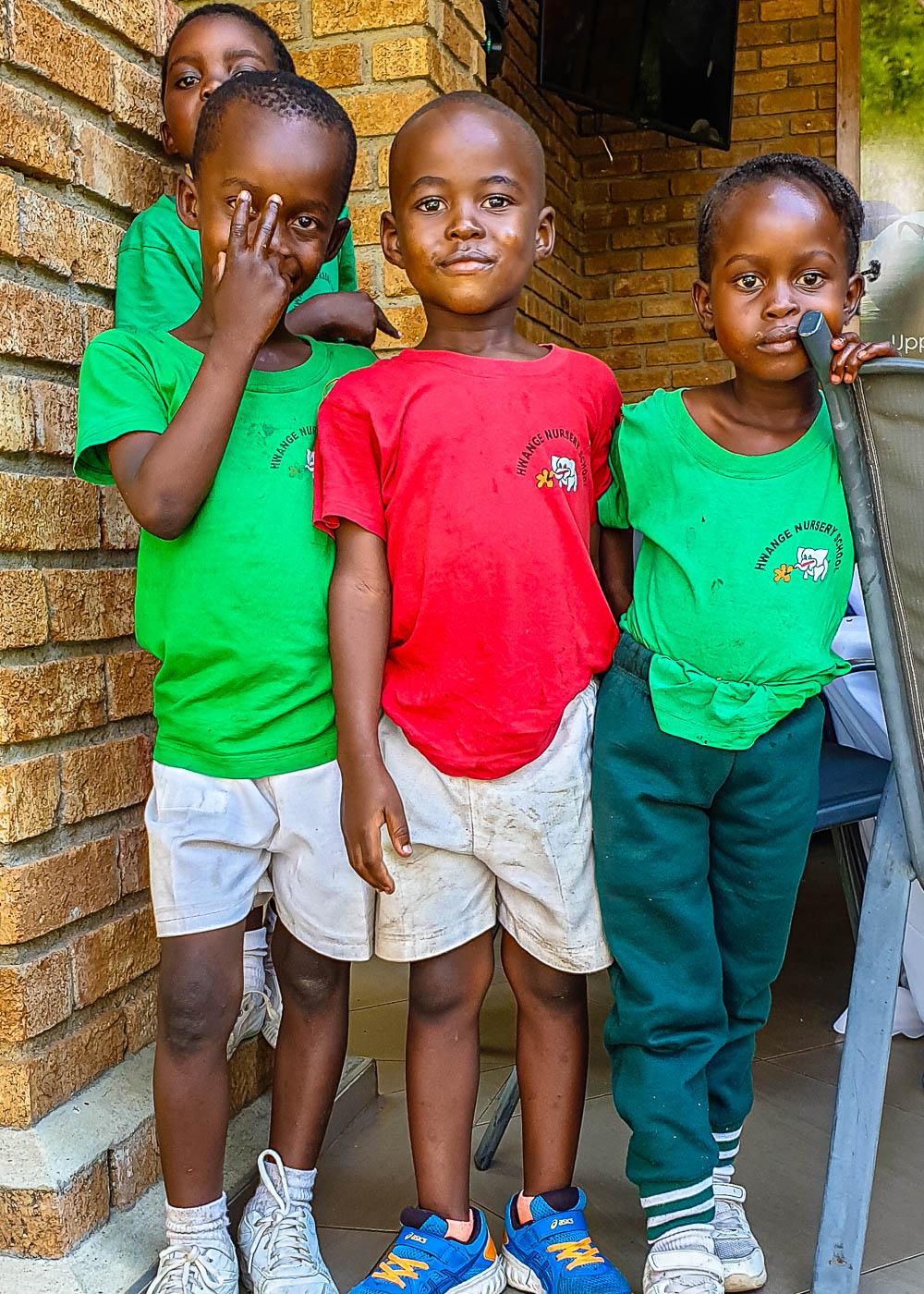
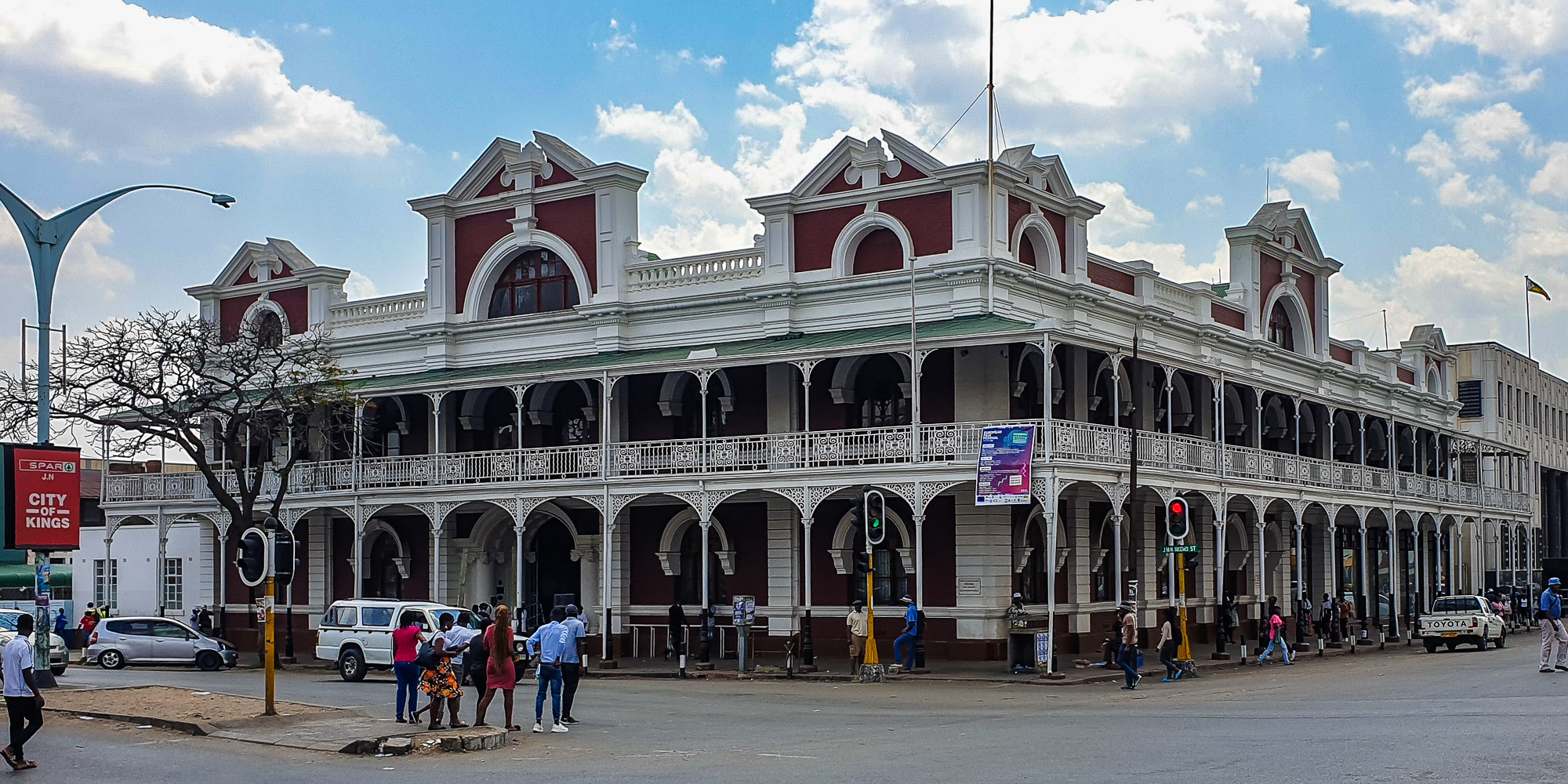
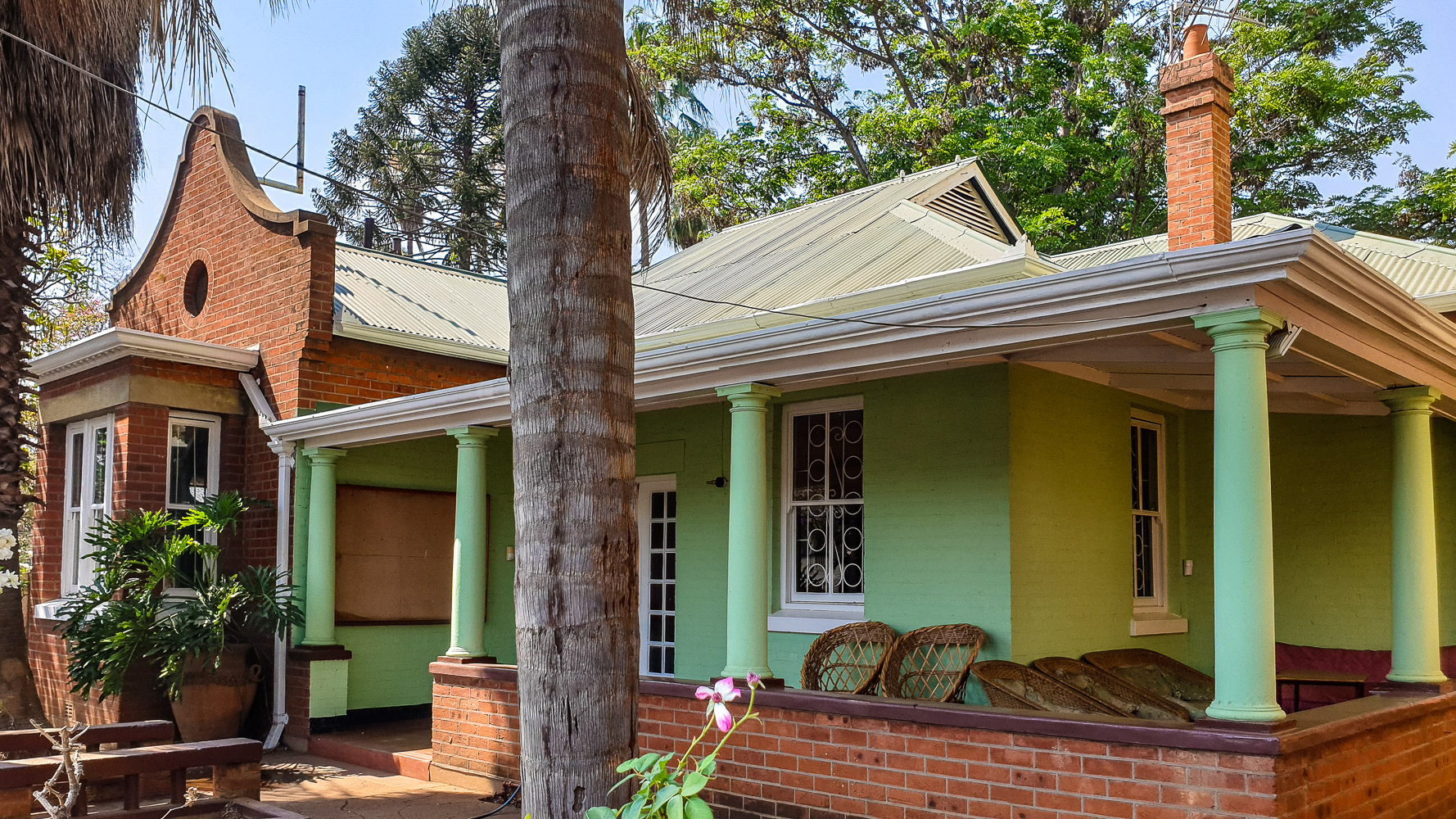
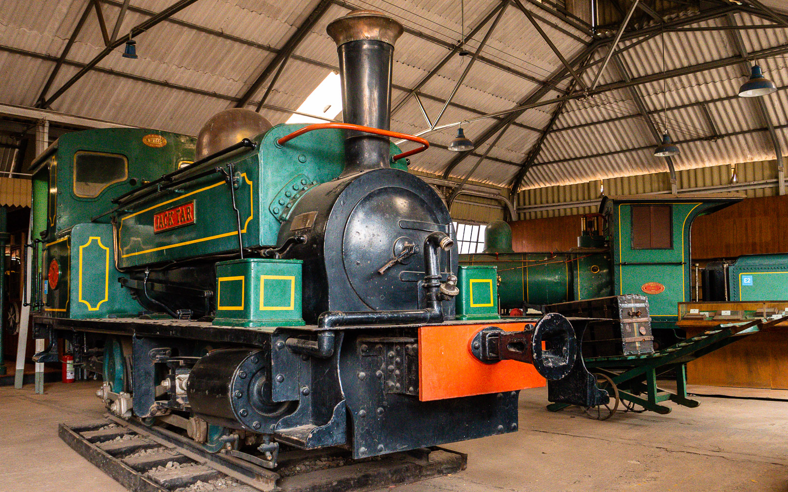
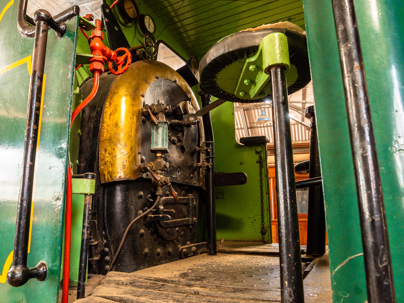
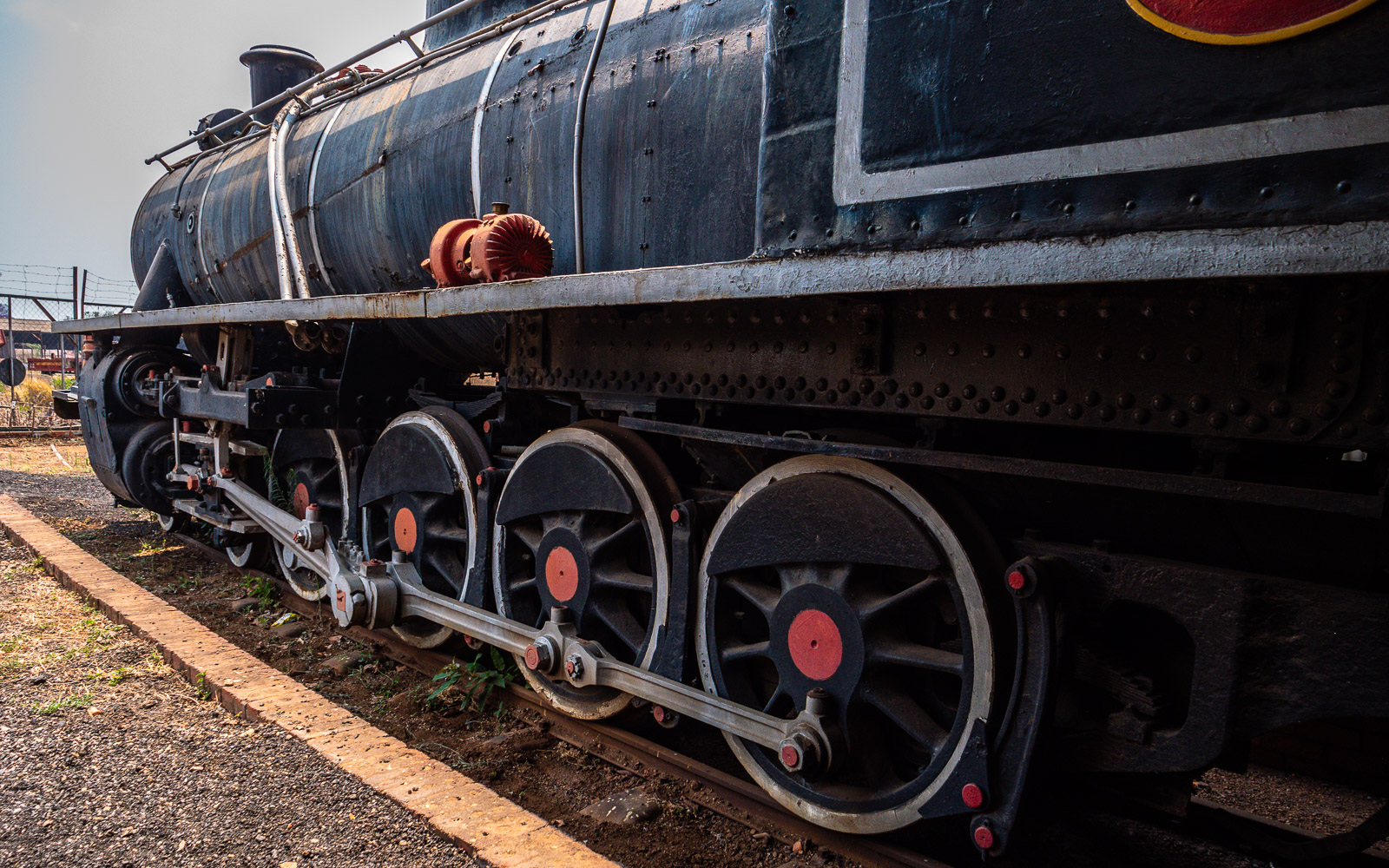
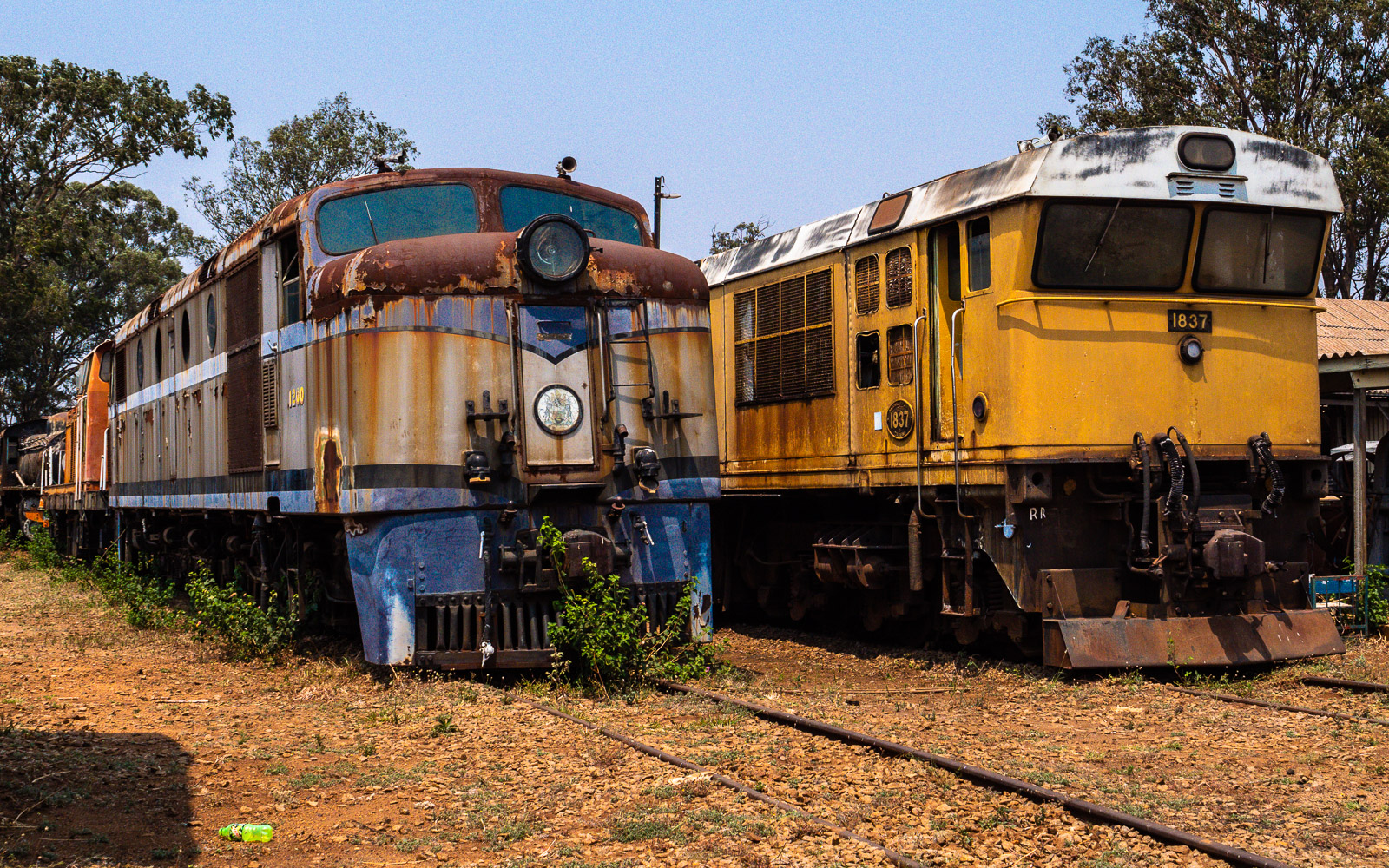
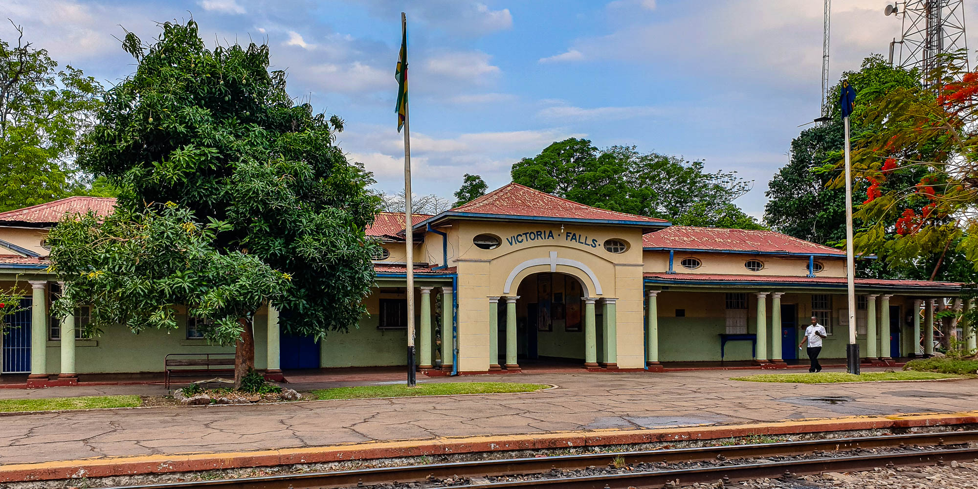
Zimbabwe – The West

Bulawayo

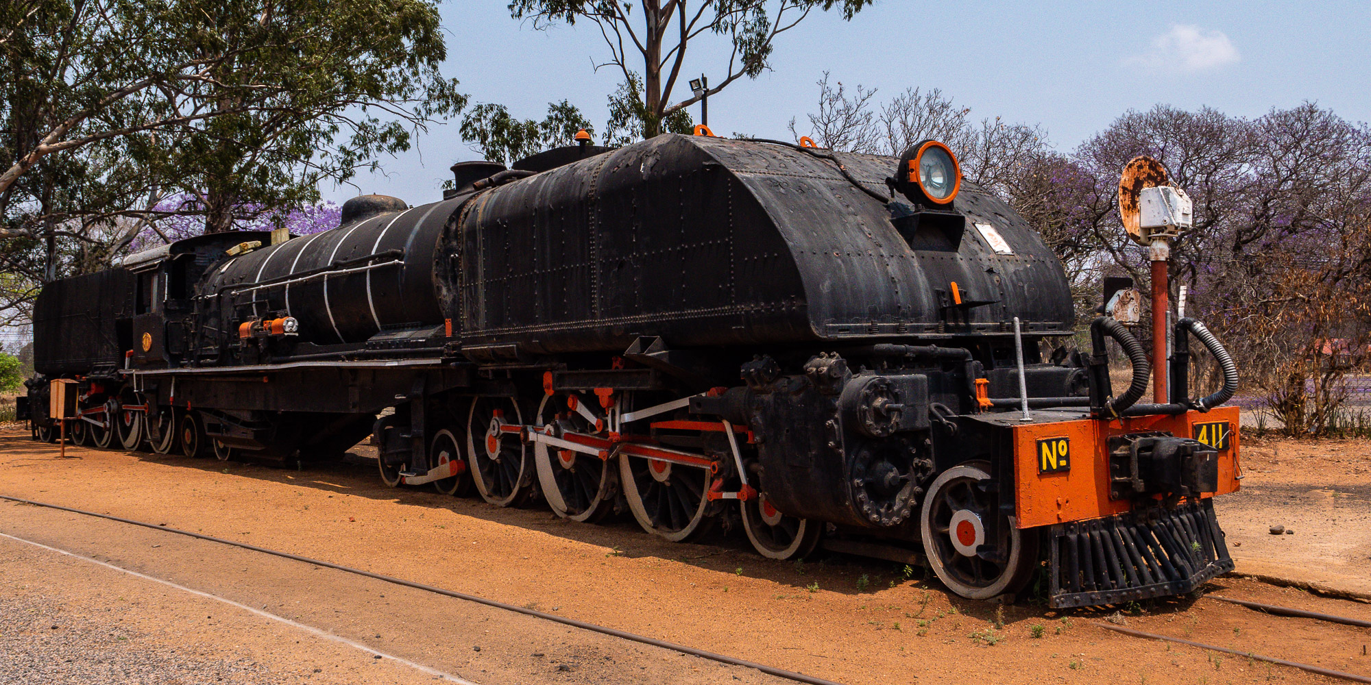
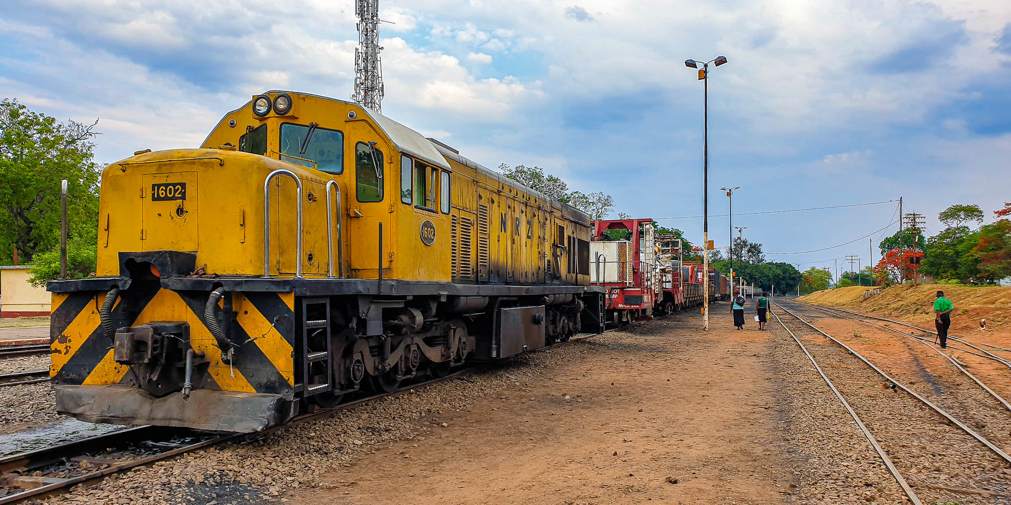
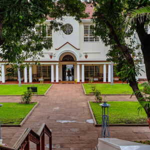
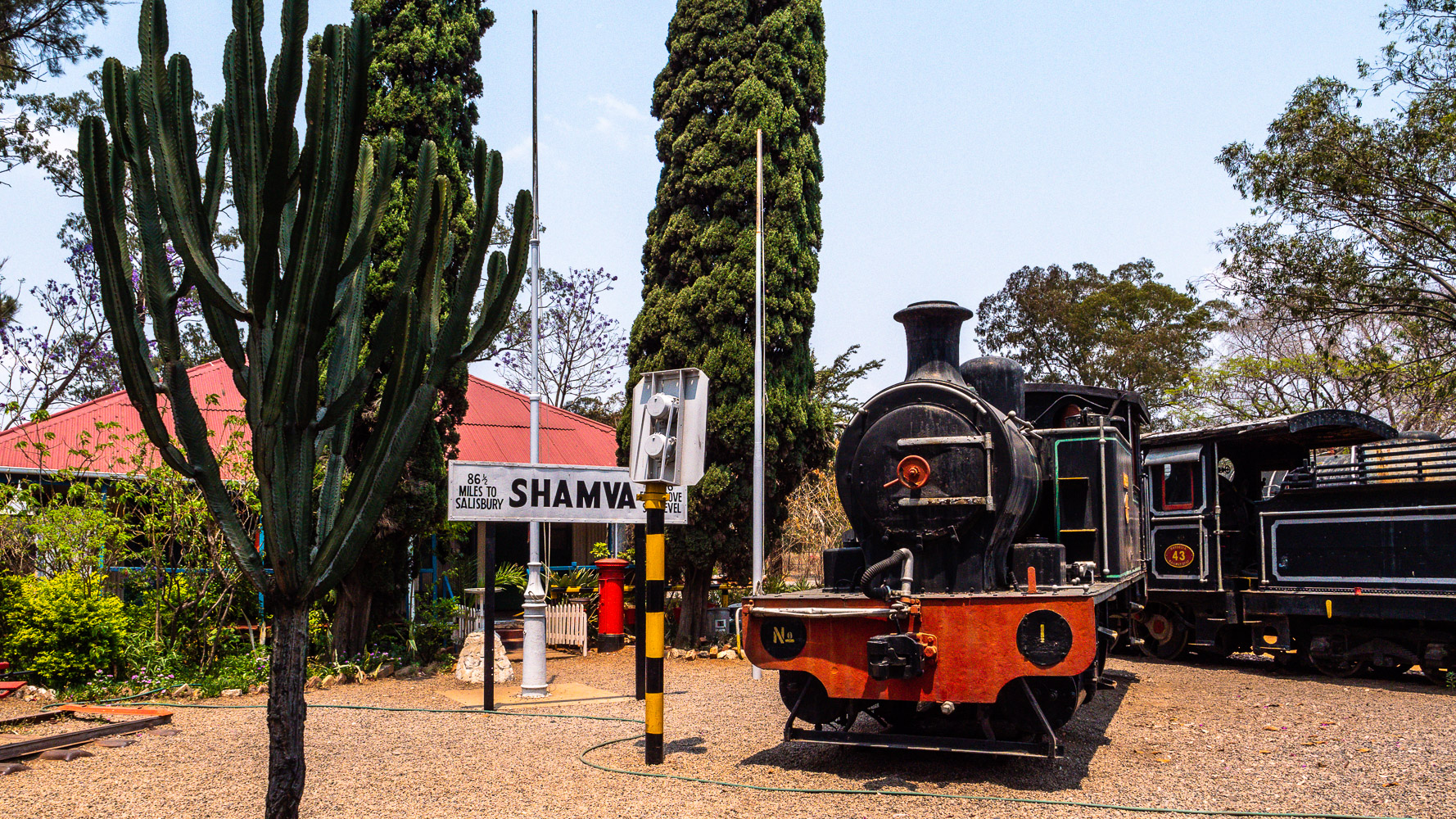
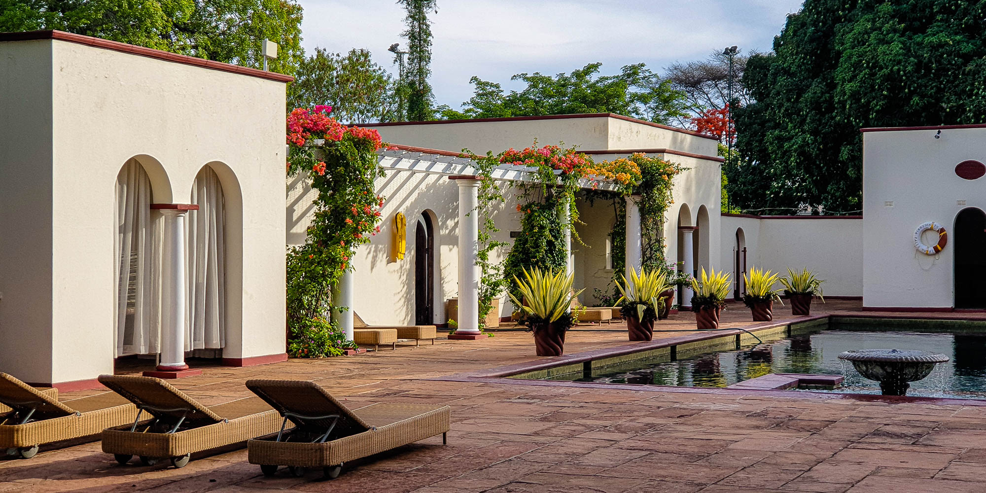
Bulawayo is the second largest city in Zimbabwe and was founded in 1893 by Cecil John Rhodes after the British victory over the Matabele king . Ironically, Rhodes founded the modern city on the site of the kraal of the Matabele king Lobengula. It was connected to the rail network just three years later. The name Bulawayo comes from the Ndebele language and means place of slaughter. The town lies at around 1340 m above sea level.

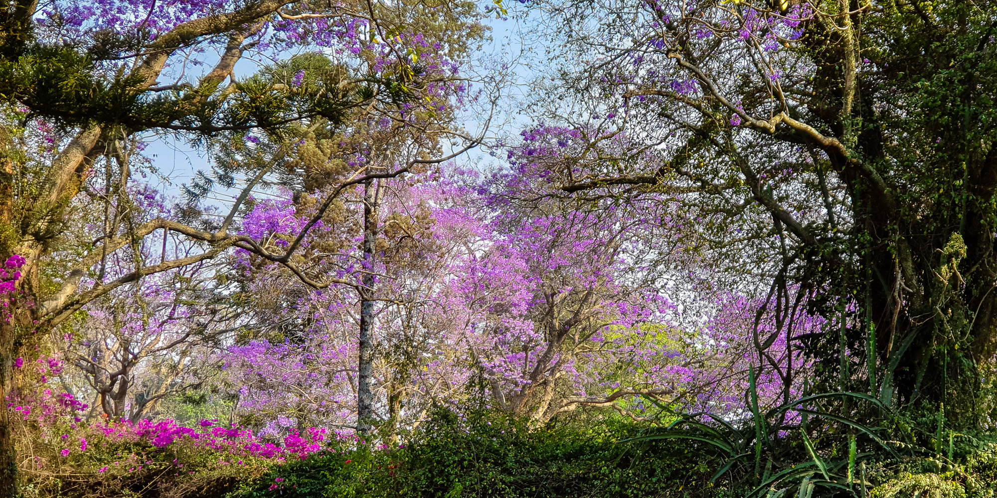
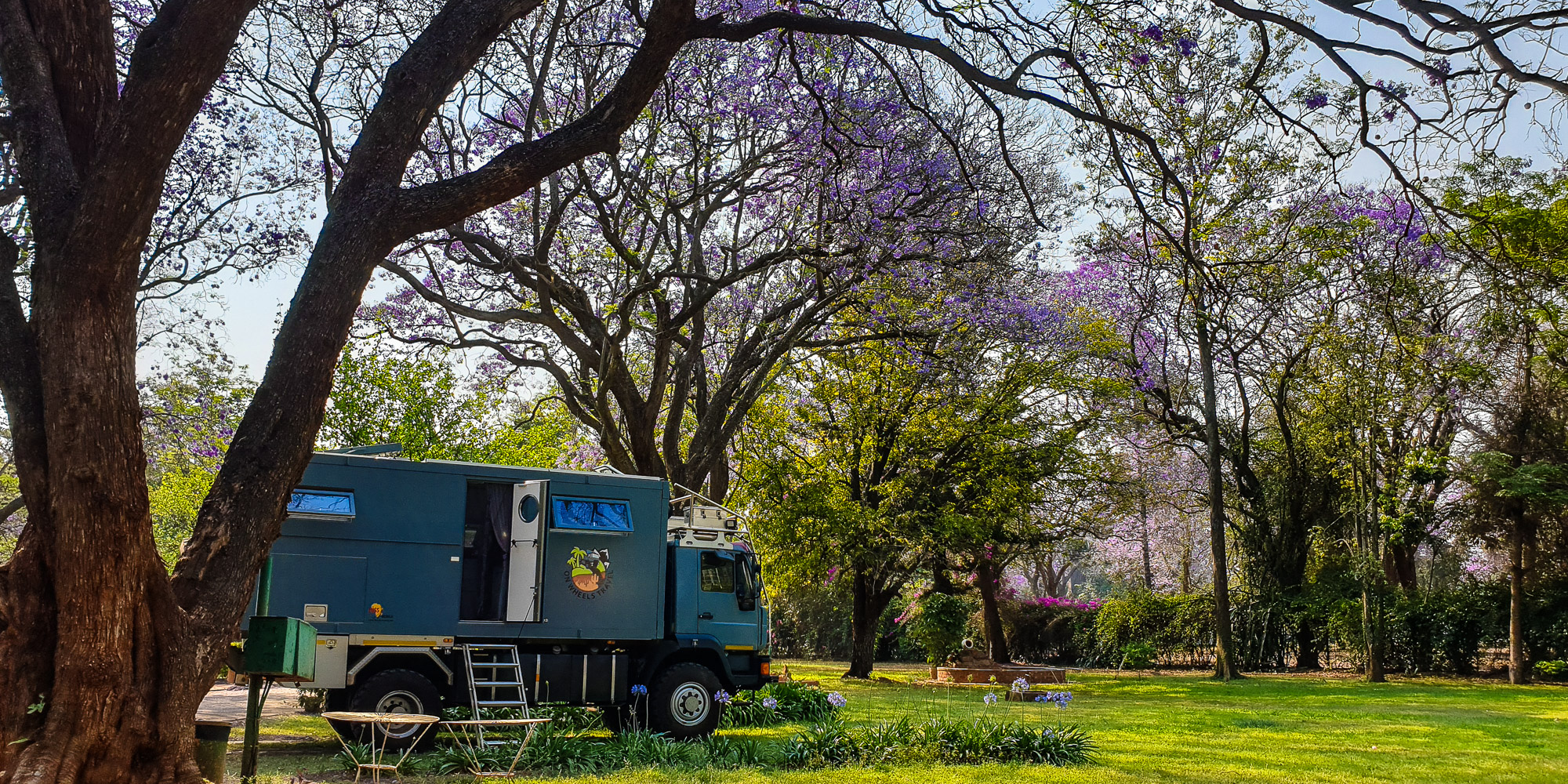
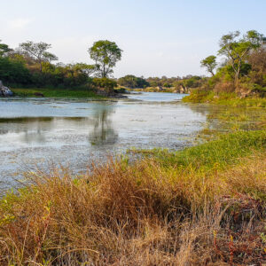
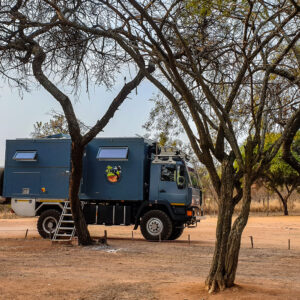
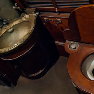
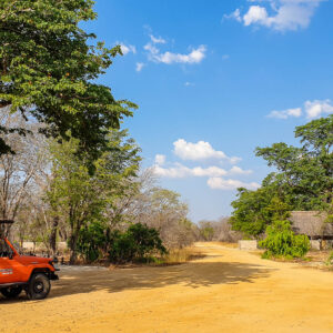
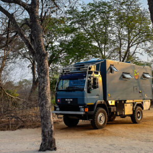
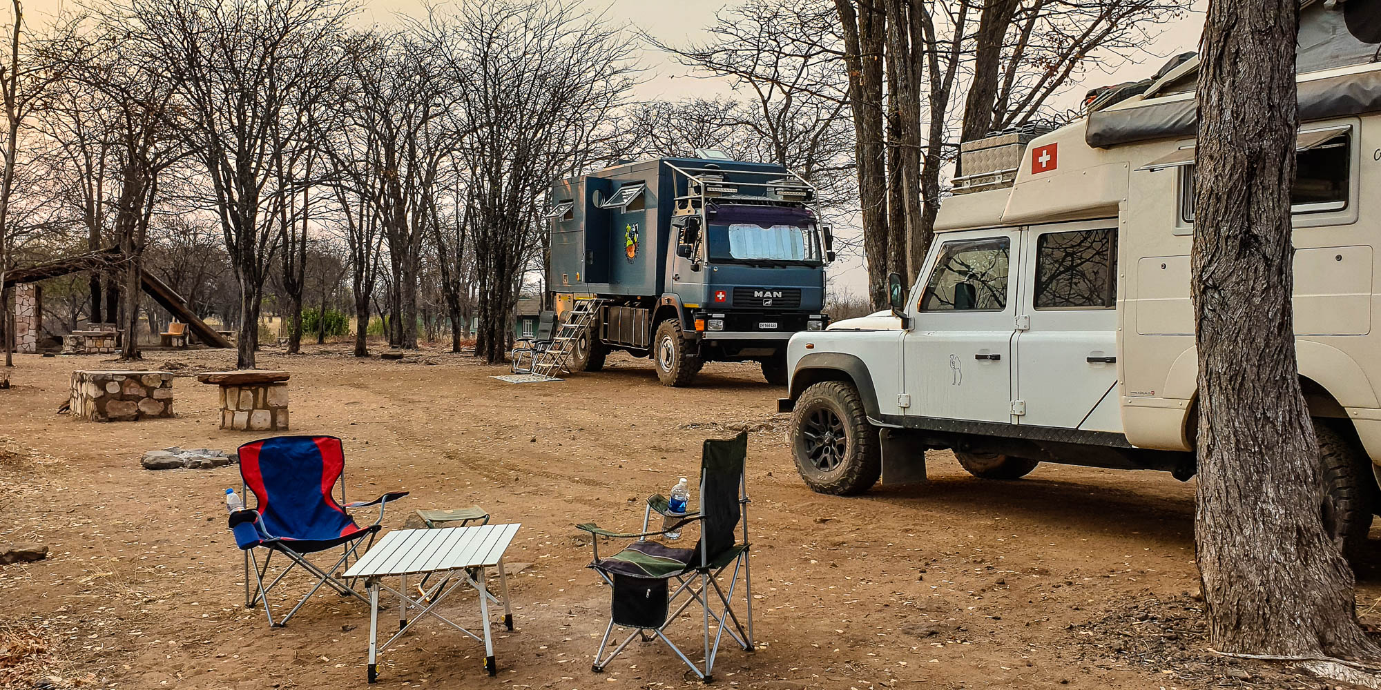
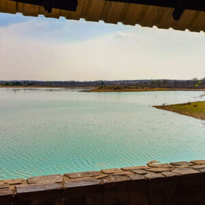
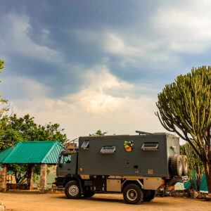
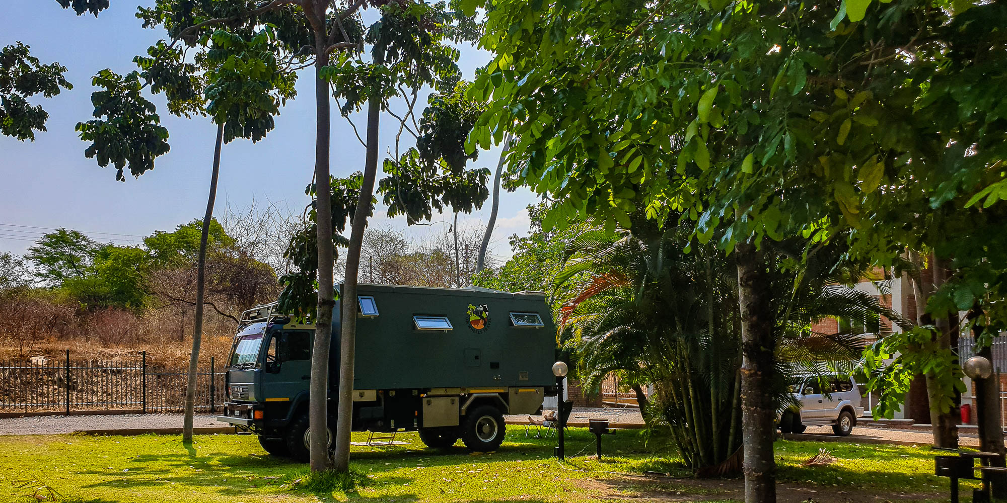
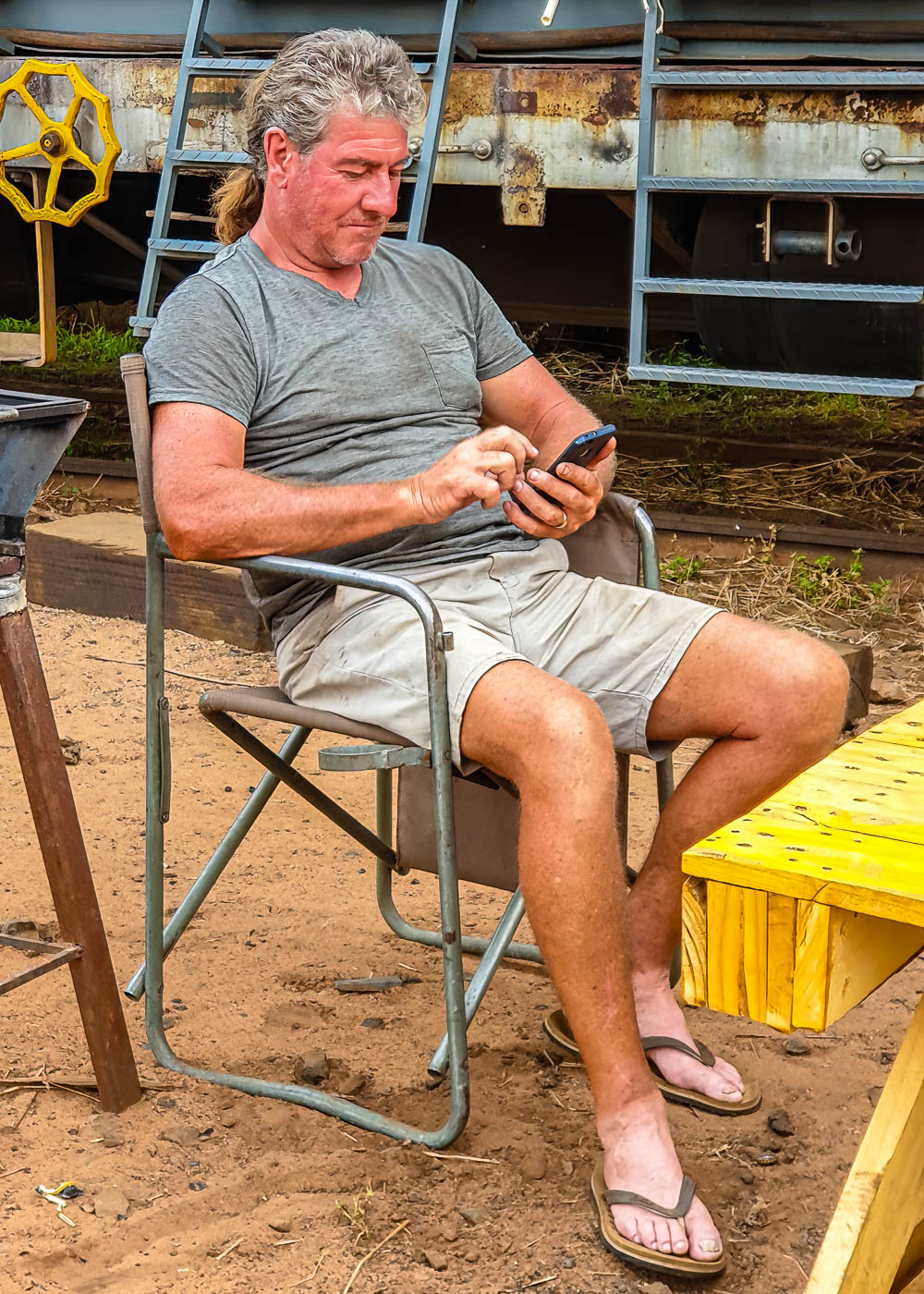
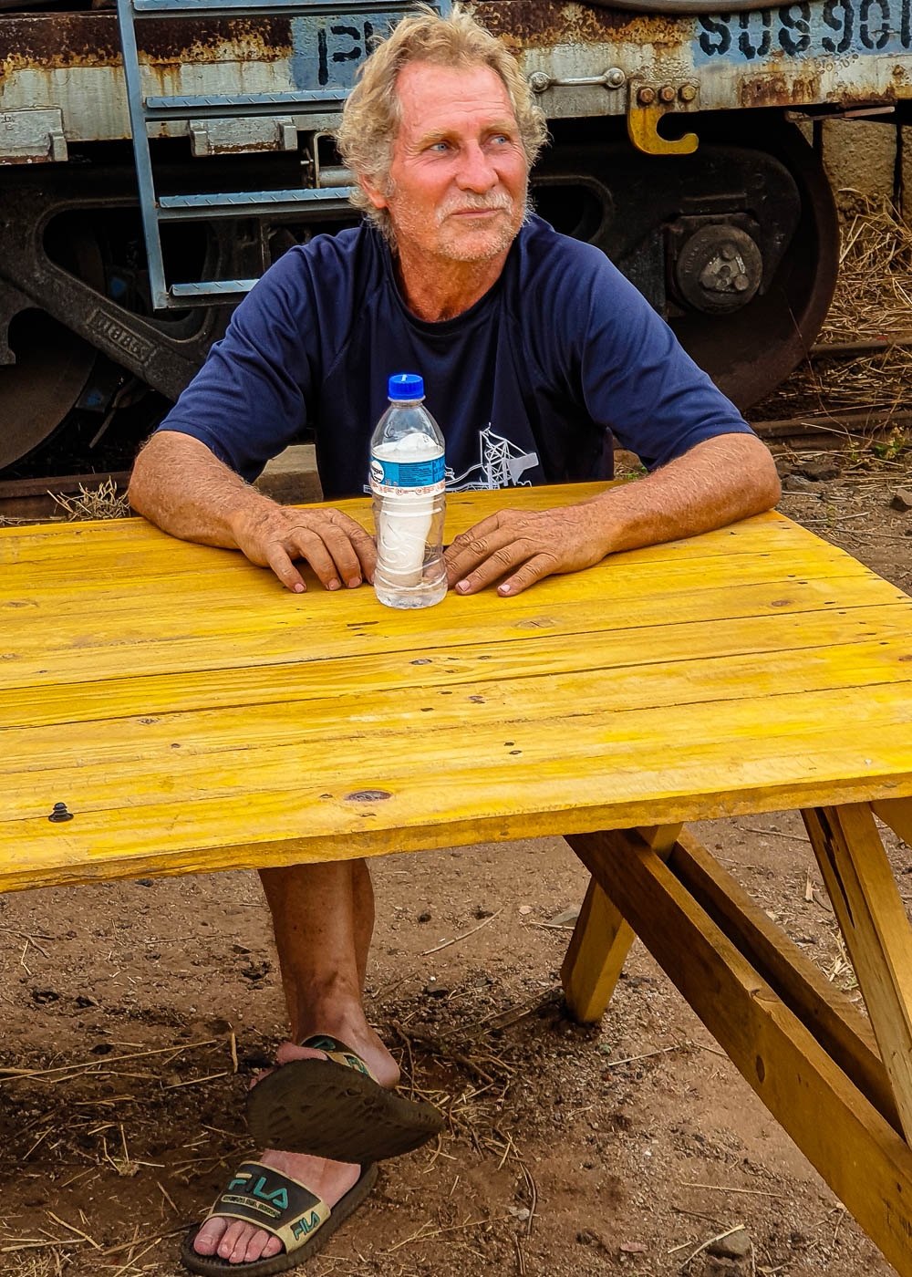
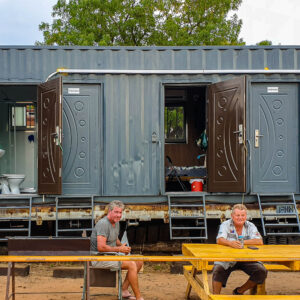
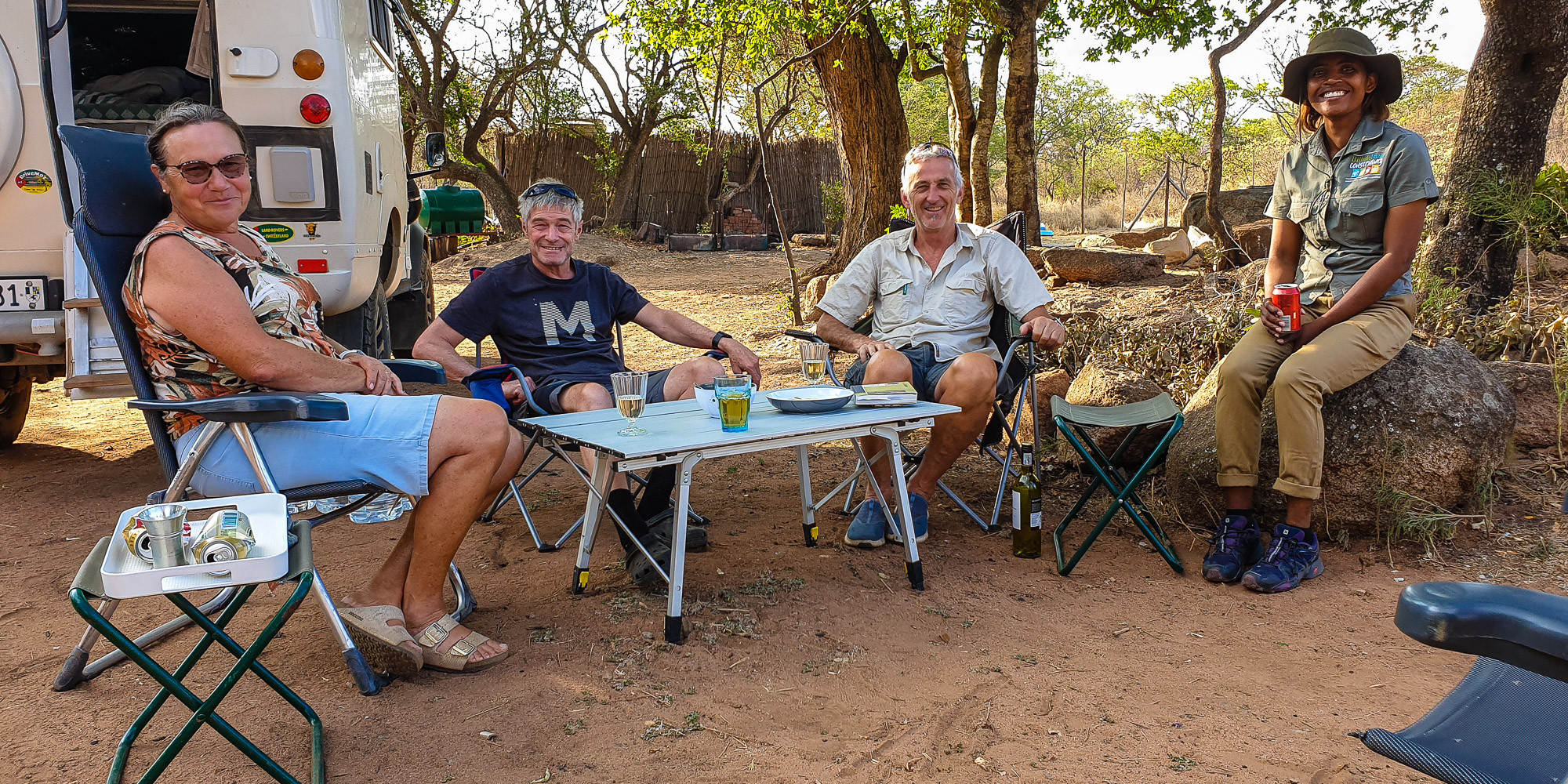
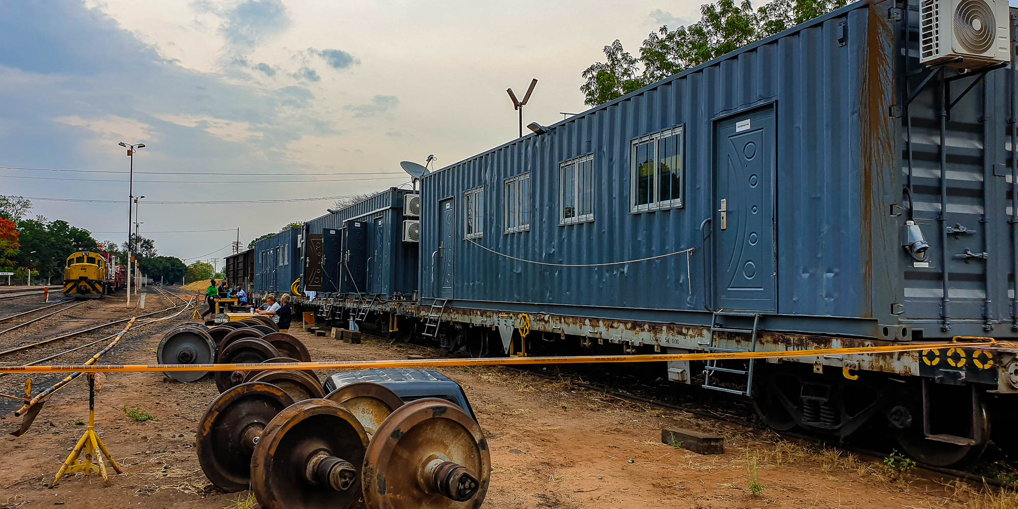
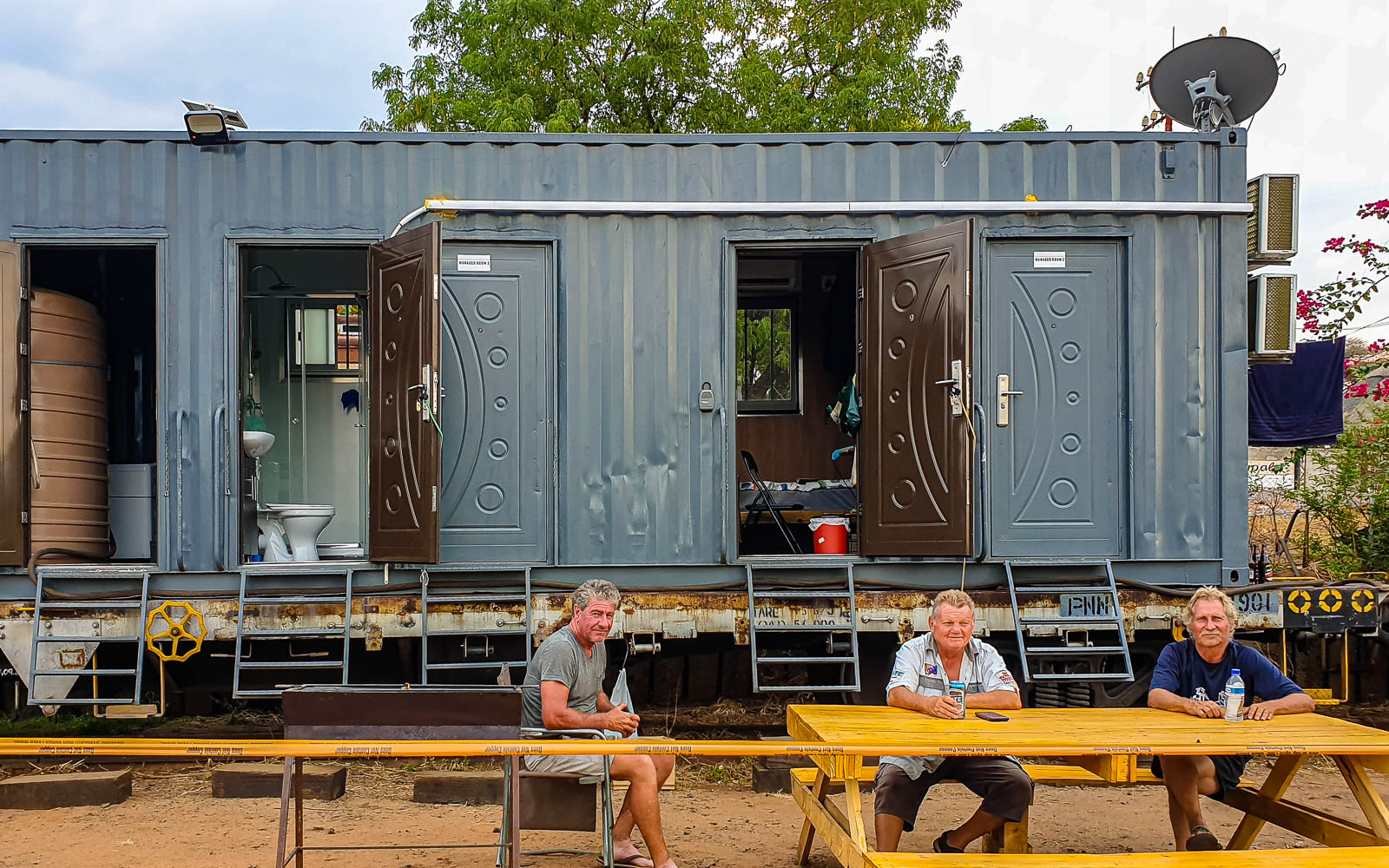
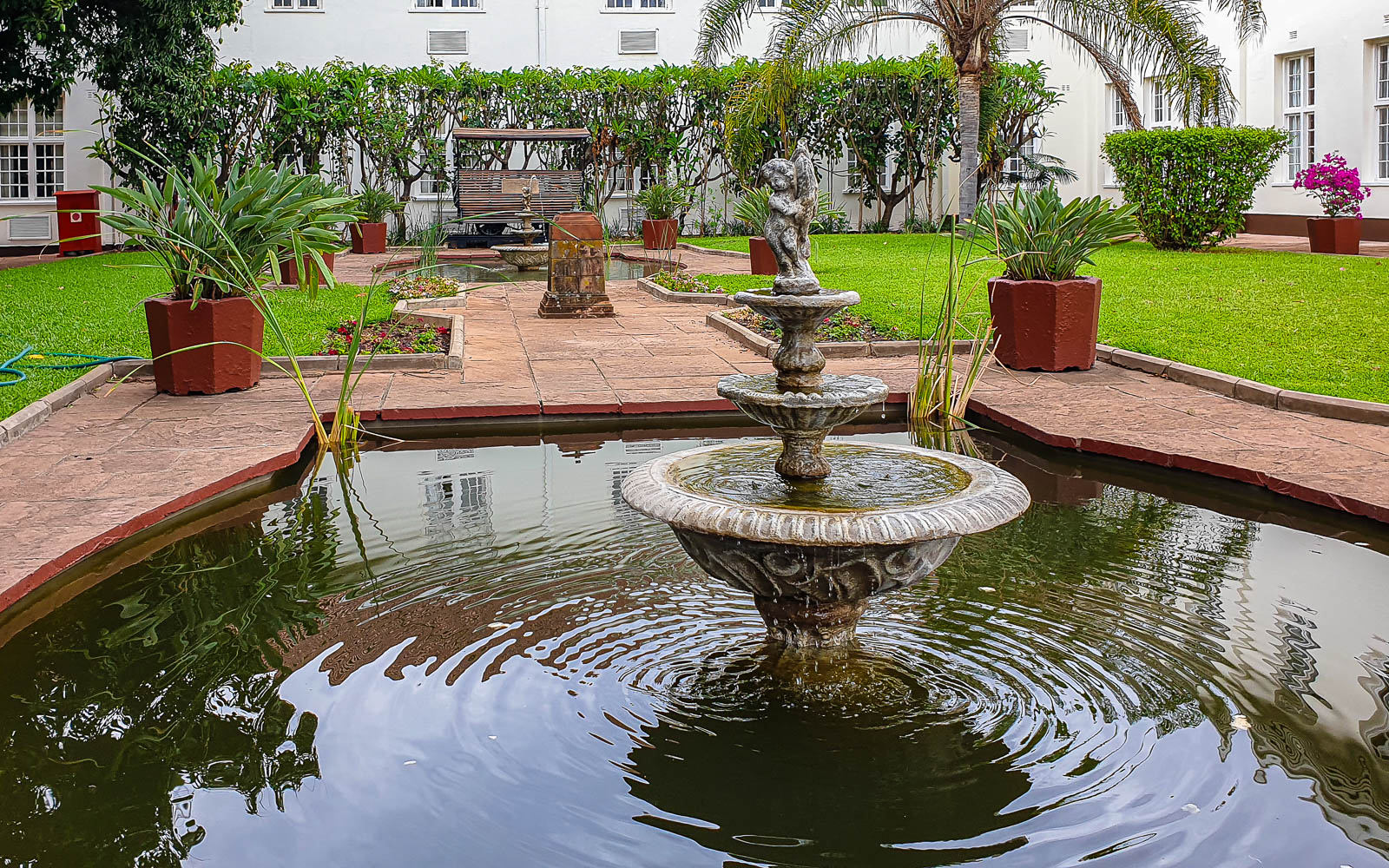
The municipal “caravan park” is very well maintained. However, the toilet facilities are very outdated, but we don’t need to use them in connection with our own infrastructure.

Sightseeing is no problem even with a truck. So that the teams of oxen could turn around in the streets, they were made so wide that many streets had parking spaces in the middle.
As you can’t go unnoticed as a “white man on foot”, you make some nice contacts while taking photos. For example, we meet a pastor’s family and two friends want to take a picture with me so that I can take one too. The security guard at the town hall organizes a permit for me, as public buildings may not be photographed without this permit.
Bulawayo is known as the city with the most“colonial charm” – but there is not much of this charm left. Nevertheless, Bulawayo appears tidy and clean in the city center, as we have seen with few exceptions throughout the country.

Hillside Dams Conservancy

On the outskirts of the city, residents of a formerly “better neighborhood” have rented a conservation area and now run it as “Hügelseite Stauweiher Konservation”. This area is open to the public and offers walking trails through the native bush, canoeing, pick-nick, a restaurant, venues for events and a campsite.
Bernadett (far left) is the lively, smart and active leader of the Conservancy with lots of ideas.
In any case, we immediately feel welcome and at ease, so we spend three days here on the outskirts of the city.

Railroad Museum

The Zimbabwe Railways – once the Rhodesia Railway – were founded at the end of the 19th century. The vision of the Englishman Cecile Rhodes (Rhodesia) was to build a railroad line from the Cape of Good Hope to Egypt. Large parts of this vision have been realized. In Rhodesia alone, there were railroad lines with a length of over 3000 km.
Like much of the country, the railroads in Zimbabwe are very run-down and neglected. All results of the “economic crisis”, as Wikipedia writes.
Zimbabwe was once the most prosperous country in southern Africa and so was the railroad with its proud Garrett steam locomotives.

Gordon Muaray is now the official director of the Railway Museum. He was a former station manager and later regional director of the railroad. He is now retired and looks after the museum. With a smile, he assures us that he is occasionally able to restore one or two exhibits thanks to donations from friends. We are the only visitors on this Sunday and he is very happy about our visit.

Cecile Rhodes railroad car is in good condition. It shows what rich people in the 19. and early 20th century could afford. Cecile Rhodes was governor of the Cape Colony (South Africa) and founder of the state of Zimbabwe. He was driven to his grave in this car in 1902. His grave is located in the Matobo Hills, south of Bulawayo.

Hwange National Park

Just off the main road from Bulawayo to Victoria Falls lies Hwange National Park . At over 14,000 m2, it is the largest national park in Zimbabwe. The park lies in the foothills of the Kalahari Basin and on the border with Botswana. It is home to a large variety of species, but we didn’t see much of it during our visit.

Gwango Camp

First we spend the night at Gwango Camp, which is situated on the border of the national park. There is no fence separating the camp from the national park. It is therefore also visited by wild animals, for example regularly by the “local elephants”. This makes camping here an experience. It is rather amusing when the larger elephants suck water from the swimming pool one storey higher.

Camp Sinamatella

The next day we want to enter the national park through the main gate. But the staff refuse us access to the national park. Our vehicle was far too big for the national park. But the receptionist is not interested in the fact that school buses without four-wheel drive are allowed in.
Fortunately, we already know that truck campers are sometimes let in, sometimes not. We don’t argue and drive along the main road and a 30 km long track to Camp Sinamatella, which is located further north. Here we are allowed to drive into the national park without any ifs or buts.

Before the (politically triggered) economic crisis, the camp was a model camp with a unique view over the national park. Apart from the campsite, the entire infrastructure is dilapidated and has already been partially destroyed.
The view in and of itself is great. But here, too, the dense, bluish smog lies over the national park.

We had already met Giusep and Albin from Switzerland in Bulawayo. Giusep has been following us on our website for some time and we meet by chance without any actual planning.

Masuma Dam

There is said to be “a lot going on” at this watering hole. But the picture is rather sad. According to animal counts, up to 50,000 elephants are said to live in the Hwange National Park area. However, the park’s vegetation could only support around 15,000 elephants. As a result, the elephants have eaten away large areas of the bush to a height of about 1.5 to 2 meters and destroyed many other trees. As it is still dry, the picture of leafless, towering shrub and tree stumps is even sadder.

Mandavu Dam

We are allowed to stay overnight at the Mandavu Reservoir pick-nick site. In the evening we see a huge herd of buffalo coming to the water on the other side of the lake.
Then the clouds begin to pile up and the first rain falls. The rainy season has begun.

Deteema waterhole

On the drive north-west, we stop at the Deteema waterhole. However, the “wild” life here is very limited. At the access road to the Deteema waterhole, we startled a lone lioness, who made a weary, tired impression. She was probably unsuccessful on the hunt and now has to start the new day with a growling stomach.

The park roads are already muddy in some places after just one heavy thunderstorm. As more thunderstorms are forecast, we leave Hwange National Park.
The next few days are expected to bring more rain. For this reason, we are somewhat disappointed and decide not to take the Binga Road, which is several hundred kilometers long, as it is 300 km on a gravel road through the bush with many water crossings. We therefore head for our final destination – Victoria Falls – which is located in the far north-west of Zimbabwe.

Victoria Falls

It was named after the Victoria Falls, which we visited from the Zambian side in July 2021. At present, it is not worth visiting the falls because the Zambezi has very little water left at the end of the dry season. A British-made road and rail bridge connects Victoria Falls with Livingstone from the Zambian side.
The city owes its foundation indirectly to the explorations of the Scottish missionary David Livingstone. It was only with Cecil Rhodes’ railroad project that the settlement of Victoria Falls developed at the beginning of the 20th century. It was not until the 1960s that the town developed into a tourist center.

We camp in the garden of Hotel N1. It’s not particularly quiet, but the staff are very friendly and the hotel is right in the center and within walking distance of most attractions.

Opening up Africa

We stroll through the streets of Victoria Falls and to the train station. We see a train that piques our interest. Three engineers from South Africa are sitting in front of a train carriage that has been their home for months.

We get talking and find out that the three tough guys have spent the last 6 months or so laying fiber optic cables from South Africa along the railroad lines through Zimbabwe to Victoria Falls using the appropriate equipment. From here, the route will continue to Zambia, as far as the Congo and from there back through Zambia to Mozambique. What for? Fast Internet is the goal!

A gigantic project, especially when you compare this effort with the widespread poverty and the simple lifestyle of large sections of the population.

School classes from Hwange

94 pupils from the mining town of Hwange are visiting Victoria Falls today. The Hotel N1 restaurant serves each child a chicken and sweet drinks. The teachers are clearly struggling to keep track of everyone’s attendance – and the pupils don’t know what to do with all the meat. Since a photographer is taking pictures of the children eating, I assume that the somewhat “special” lunch is probably meant to serve a purpose. In any case, the principal has given me permission to take photos, which I am happy to do, because the interest is mutual. Some have probably never been this close to a white person before.

High Tea

I read about high tea at the traditional Victoria Hotel in Victoria Falls on the “catch-the-wind” travel blog. Good idea, I thought, and so we went to high tea for the first time in our lives, not knowing what to expect. The Victoria Hotel exudes genuine colonial charm and is located directly above the Zambezi Gorge with a view of the bridge over the Zambezi.

In addition to a large pot of the best black tea, there is a kind of “three-course menu” consisting of various sandwiches on the lower plate, various cakes on the middle plate and, last but not least, patisserie. It tastes excellent and we enjoy the atmosphere as a change from our traveling life.
Part of the positive experience is, of course, our friendly and cheerful service.

We stay one more day in Victoria Falls – then we leave and drive over the bridge to Zambia

Previous Post
Zimbabwe – Great Zimbabwe
Next Post
City of friends

Related Posts

No results found.

Leave a Reply

Your email address will not be published. Required fields are marked *

Fill out this field
Fill out this field
Please enter a valid email address.

This site uses Akismet to reduce spam. Learn how your comment data is processed.